National Weather Service United States Department of Commerce


Powerful Second Hit Buries Kansas

February 8th - 9th, 2011 


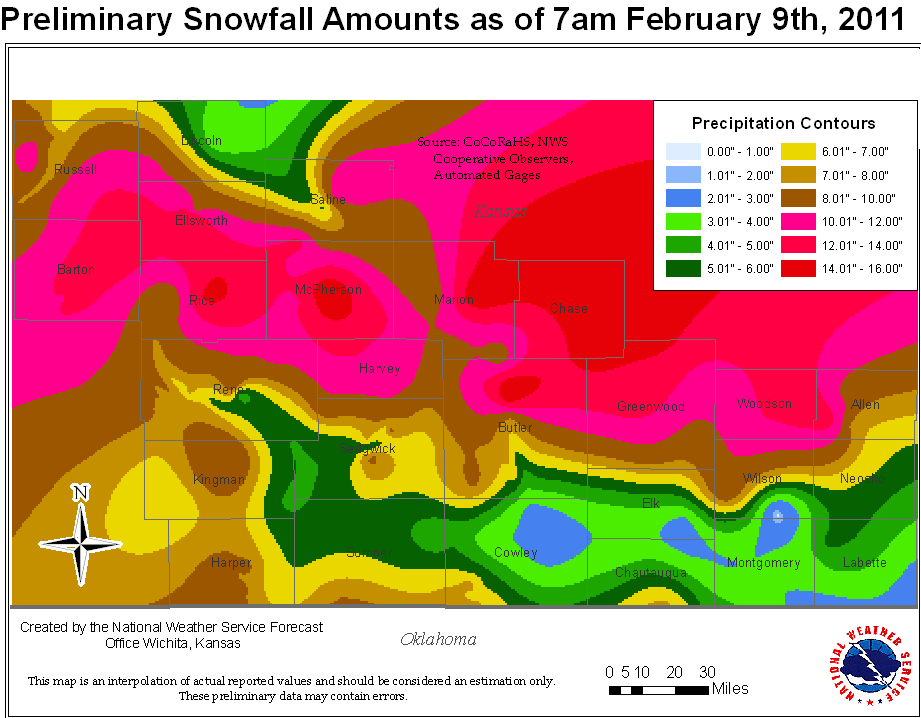
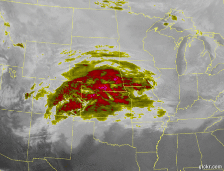
What happened: A second round of winter weather impacted Kansas, dumping from 6 to 12 inches of snow across portions of central and southern Kansas, with some areas seeing up to 20 inches of snow. 

Overview: Snow began to fall early Tuesday morning across central Kansas.  An intense band of snow developed and sat across central Kansas in a line from Great Bend  to McPherson and Marion south through Yates Center and beyond.  Intense bands of snow allowed snow fall totals to pile up to more than a foot by Wednesday morning.  This is on top of the snow that fell just one week ago during the blizzard. 

Meteorological Background: A potent upper level low pressure area across the central Rockies moved east across Kansas and Oklahoma on Tuesday and Tuesday night. At the same time, frigid Arctic air settled south across the central Plains.  A rather narrow, but strong corridor of lift developed out ahead of the approaching system early Tuesday, resulting in a band of heavy snowfall, oriented west-northwest to east-southeast, across central Kansas. This resulted in snowfall rates of 1 to 2 inches per hour during the late morning and early afternoon on Tuesday. The snow diminished to flurries on Tuesday night, but not before it dumped over a foot of snow across much of central Kansas and a portion of the Flint Hills. 

The strong area of mid-level lift associated with the upper level storm system gradually shifted south across south central and southeast Kansas on Tuesday night. Since the lift was more transient and did not reside over any one location too long, snowfall totals were not as impressive as across central Kansas, though still managing to range from 5 to 10 inches across south central and southeast Kansas. 


Snow Depth totals as of 7am Wednesday February 9th, 2011


  Images


Infrared satellite animation showing the higher cloud tops transitioning from Central Kansas during the day Tue, to along the Kansas-Oklahoma border as evening approached.

Radar animation from early Tue morning through Tue evening.


Image
of traffic in snow
Image courtesy of Saline County Emergency Management.


Barton County courthouse as of 11:30 am on Tuesday, Image Courtesy of Barton County.


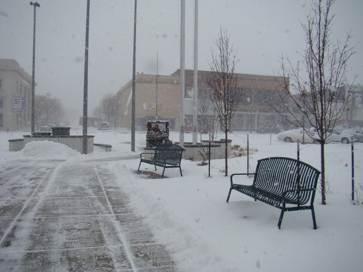
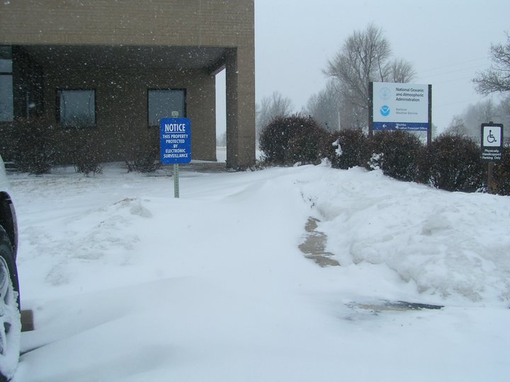
Image of snow and snow drifts in front of the NWS Wichita Office around 1:30pm Tuesday


Neat wind contours in the snow at the airport, Image courtesy of Victor White.


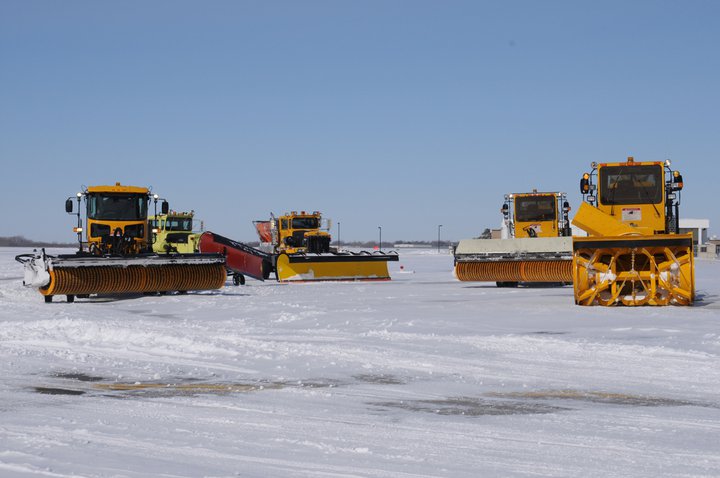
Some of the Mid-Continent Airport snow equipment takes a fuel break, Image courtesy of Victor White.


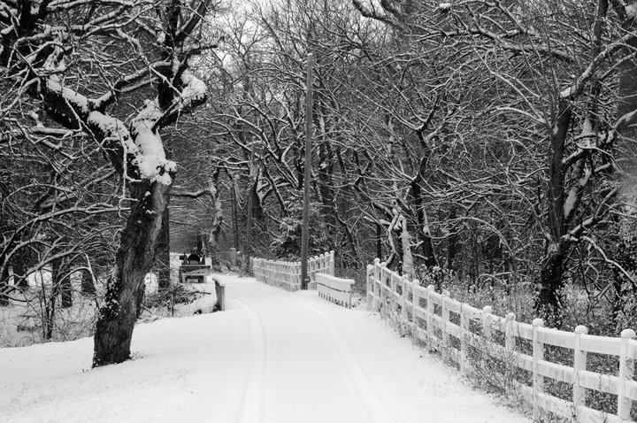
Back Roads near West Wichita, Image coutesy of Victor White


Summary of Top Snowfall Reports 


Snowfall Reports from Cooperative Observers
(Snowfall column is the second to right,
Snow depth far right column)