Wichita, Kansas
Weather Forecast Office
First Day of Spring 2010 was Anything But Spring-like
|
For a second year in a row a late March snow storm impacted much of the Southern Plains. This powerful low pressure system dove southeast out of the Northern Rockies during the evening hours of March 19th spreading a swath of heavy snow across portions of Oklahoma, Eastern Kansas, Southern Missouri and Northern Arkansas. Strong north winds accompanied the snow causing some drifting along with reduced visibilities.
|
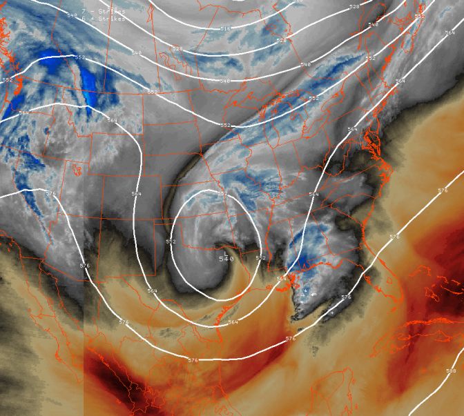 Water vapor satellite imagery combined with 500mb heights from the early evening hours of March 20th. At this time the upper level low pressure system was tracking east along the red river. |
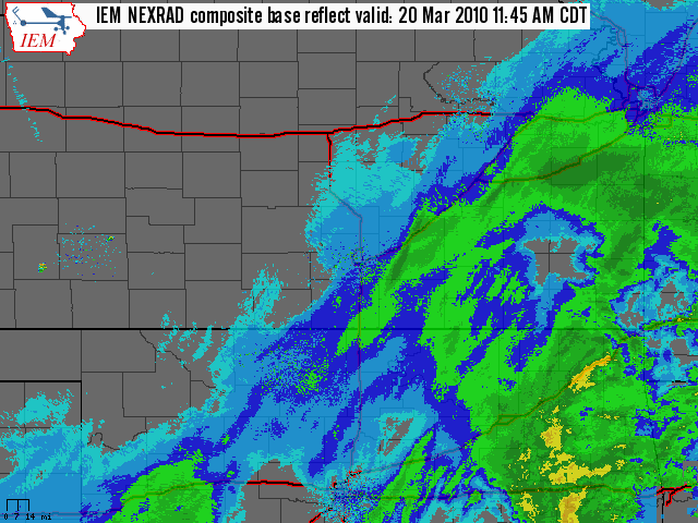 Radar loop from the afternoon hours of March 20th showing the band of heavy snow persisting across Southeast Kansas. |
|
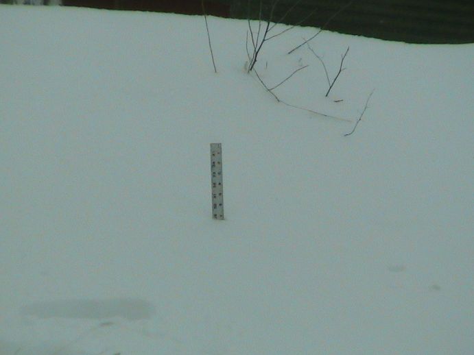
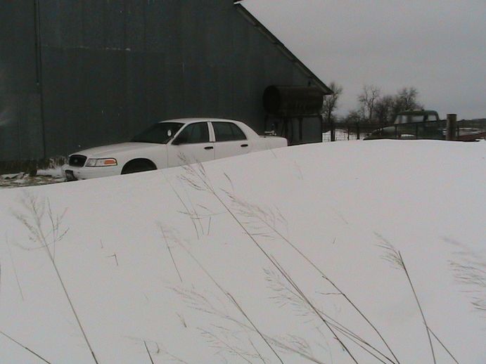
Picture of snowfall in Southeast Kansas. Photo by J.D. Stewart |
Picture of snowfall in Southeast Kansas. Photo by J.D. Stewart |
Picture of snowfall in Southeast Kansas. Photo by J.D. Stewart |
Picture of snowfall in Southeast Kansas. Photo by J.D. Stewart |
|||
|
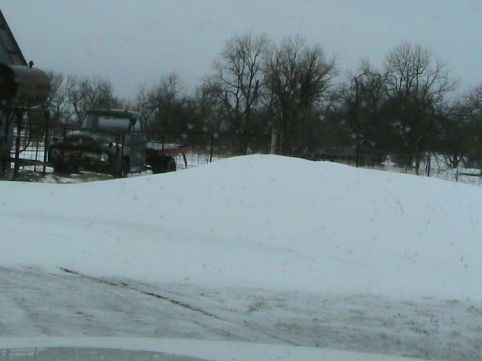
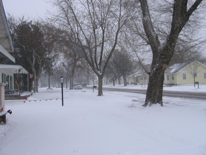
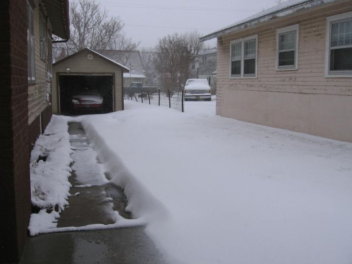
Picture of snowfall in Southeast Kansas. Photo by J.D. Stewart |
Picture of snowfall in Southeast Kansas. Photo by J.D. Stewart |
|||||
|
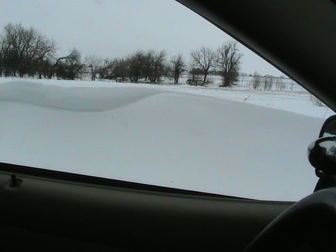
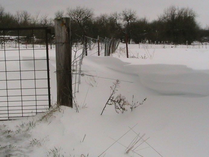
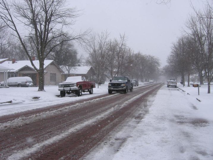
Snowfall picture from Arkansas City. Photo by Bob Frazee. |
Snowfall picture from Arkansas City. Photo by Bob Frazee. |
Snowfall picture from Arkansas City. Photo by Bob Frazee. |
||||
Hazards
Briefing pages
Local weather story
Submit a storm report
Storm Prediction Center
Enhanced Hazardous Weather Outlook
Hazardous Weather Outlook Text
Current Conditions
Local Radar
National Radar
Satellite
Hourly weather(text)
Precip Analysis
Snowfall analysis
This day in weather history
7 Day Lightning Archive
Forecasts
Forecast Discussion
Weather Story
Fire Weather
Activity Planner
Aviation Weather
Soaring Forecast
Hurricane Center
Graphical Forecasts
Regional Weather Summary
Probabilistic Snow
Probabilistic QPF
Wet Bulb Globe temp
Climate
Local Climate Page
Daily/Monthly data(F6)
Daily Records
Climate Normals
Local drought page
Latest Climate Report(ICT)
Latest Climate Report(SLN)
Latest Climate Report(CNU)
CoCoRaHS
7 Day Lightning Archive
US Dept of Commerce
National Oceanic and Atmospheric Administration
National Weather Service
Wichita, Kansas
2142 S. Tyler Road
Wichita, KS 67209-3016
316-942-3102
Comments? Questions? Please Contact Us.