The Monster Blizzard of 2011
January 31st - February 1st, 2011
|
What happened: A blizzard impacted Kansas on the evening of January 31st and all day February 1st, 2011. Extreme northerly winds caused whiteout conditions across parts of south central and much of southeastern Kansas. Snowfall totals up to 18 inches were recorded in southeast Kansas. Overview: Blizzard conditions impacted states from New Mexico to Texas, Oklahoma, Kansas, Missouri, Arkansas and beyond. Snowfall totals of a foot to 18 inches were felt across the region. Here at home in central, south central and southeastern Kansas snowfall totals ranged from 1-2 inches in western sections of central Kansas to 18 inches in extreme southeast Kansas.
|
|
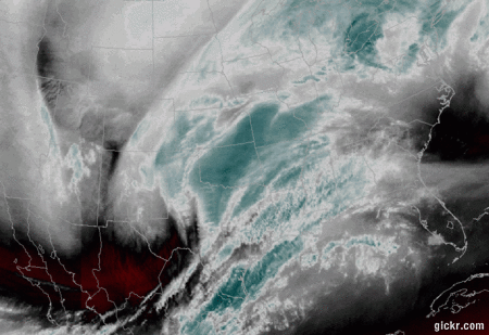
Overview loop of water vapor satellite imagery as the snowstorm approached and moved overhead. |
|

The snow drift outside of the NWS Wichita office at 5pm February 1st. The drift measured around 2 feet high. Picture courtesy of Mick McGuire.
|
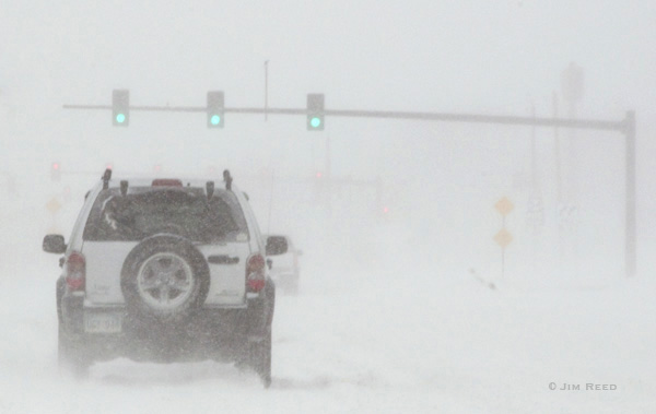
Image of blowing snow and reduced visibility in Wichita. Picture courtesy of Jim Reed.
|
|
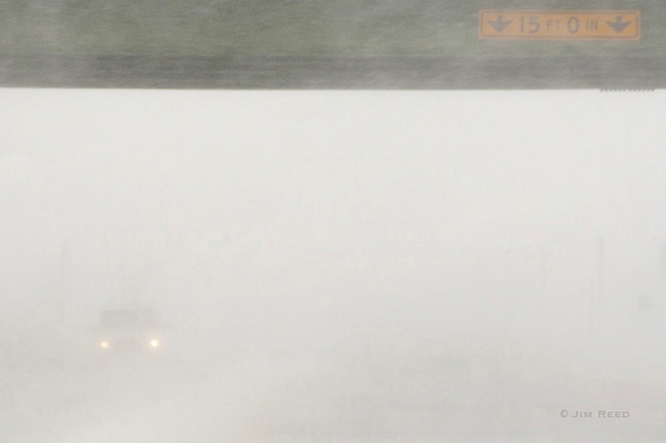
Image of blowing snow and reduced visibility in Wichita. Note headlights of oncoming car on the left. Picture courtesy of Jim Reed. |
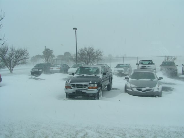
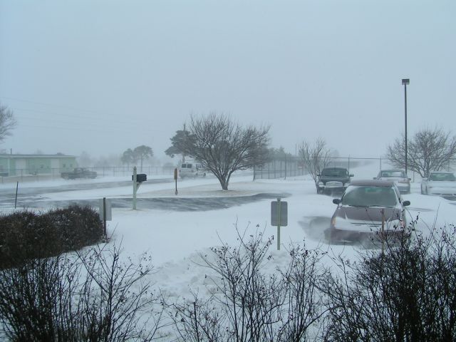
Image of the snow and drifts around cars at the NWS Wichita office. |
Image of snow from Caney. Photo courtesy of Pascal Vanschijndel. |
||
|
Image of snow blowing by a light at the NWS Wichita office. |
Image of the snow and drifts around cars at the NWS Wichita office. |
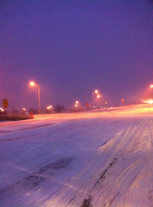
Near the Russell I-70 exit. Picture taken by KDOT. |
||
|
Snow in Wichita on February 1st, 2011. Picture taken by KDOT. |
|
|
|
|
| Summary of Snowfall Reports |