Severe Weather Event – June 27, 2013Gage Shirley - KU Student Updated: October 09, 2013 Overview:On June 27, 2013, a cold front moving through Kansas stirred with the 100+ degree temperatures, producing severe thunderstorms. As the storms progressed southeast, large hail and damaging winds were reported. Eventually the storms joined to form a squall line producing wind gusts from 70-90 mph. Environmental AnalysisUpper LevelsIn the upper atmosphere, observations showed a ridge to the west and a trough to the east of Kansas with northwesterly flow. Shear ProfileSecondly, the shear profile of the atmosphere was favorable for organized storms. In the 0-6km layer, the bulk shear was between 40 and 50kts. Most of the shear resided in the 0-3km level, being favorable for a line of storms. From the sounding, the lower levels are dry, suggesting cold pool development as the storm progresses and 0-3km vectors show a southeast trajectory.
InstabilityObserving the contour map for the MLCIN/MLCAPE, at 6/28 0000z, MLCIN was around 100 in SW/NC KS and decreasing to 25 in SE KS. MLCAPE was around 2000 J/kg for most of the storm area (including Wichita) and values of 3-5k in SE KS.
Radar AnalysisReflectivityIndividual cells began blowing up in areas NW of Wichita. Shortly after (about 21:30Z), multiple cells had readings of 70dBZ and greater. However, as the storm moved southeast, it joined into a squall. This resulted in the higher returns and hail threat diminishing as the storms would sweep as a line to the SE and maintain very strong winds, heavy rain, and small hail.
VelocityAs the storm moved SE, the storm’s velocity picked up speed. Higher winds can be seen, especially as the storm moved through Harvey Co (82 kts) and Sedgwick Co. (96 kts). At about 23Z the more northern part of the storm joined with the southern section in Reno County.
After radar data analysis, you can see that at the northeast section of the storm was moving more south, and the southwest portion was moving more east. As a result, a mesovortex can be seen on the scan that took place at 23:39Z. Based on damage reports, it is very likely that this enhanced area of wind was the cause of more significant damage in western Sedgwick County.
Dual-Pol ProductsHailBy analyzing each reflectivity, CC, ZDR, and DP, it was easy to indicate that large hail was indicative of the supercells at the storms beginning. Here is a hail core located near Russell, KS.
When high reflectivity returns are being seen on radar, dual-pol can be very useful in determining heavy rain from hail. In the case for this storm, dual-pol helped to show that hail was present in several of the cells. There will not always be spotters present to confirm a forecaster’s judgment based off of reflectivity. Therefore, dual-pol can be another useful tool for determining precipitation types in these situations and responding to it accordingly. Wind and Dust CloudAt 22:02Z, dual-pol began picking up a subtler signature in SW Saline Co. Near 5700 ft., the storm feature registers in the negatives for ZDR and < 0.9 in CC. Recognizing that the storm is over rural Kansas, we can recognize that dual-pol is seeing dust being picked up from the high winds associated with the system.
CC tracks the cloud rather impressively across several counties as the storm moves SE into Sedgwick County.
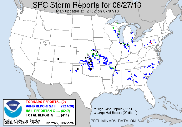
Local Storm ReportsStorm reports began coming in as the storms developed in the northcentral part of the state. Hail reports ranged from 1” (Osborne County) to 4.25” (Barton County) and their numbers decreased as the line of storms closed in on Wichita. Wind reports remained consistent from the very beginning of the storm until it crossed the state line into Oklahoma. Wind speeds came in from 58 mph to a recorded 92 mph gust in McPherson and an 89 mph gust at Mid-Continent.
|