High Clouds
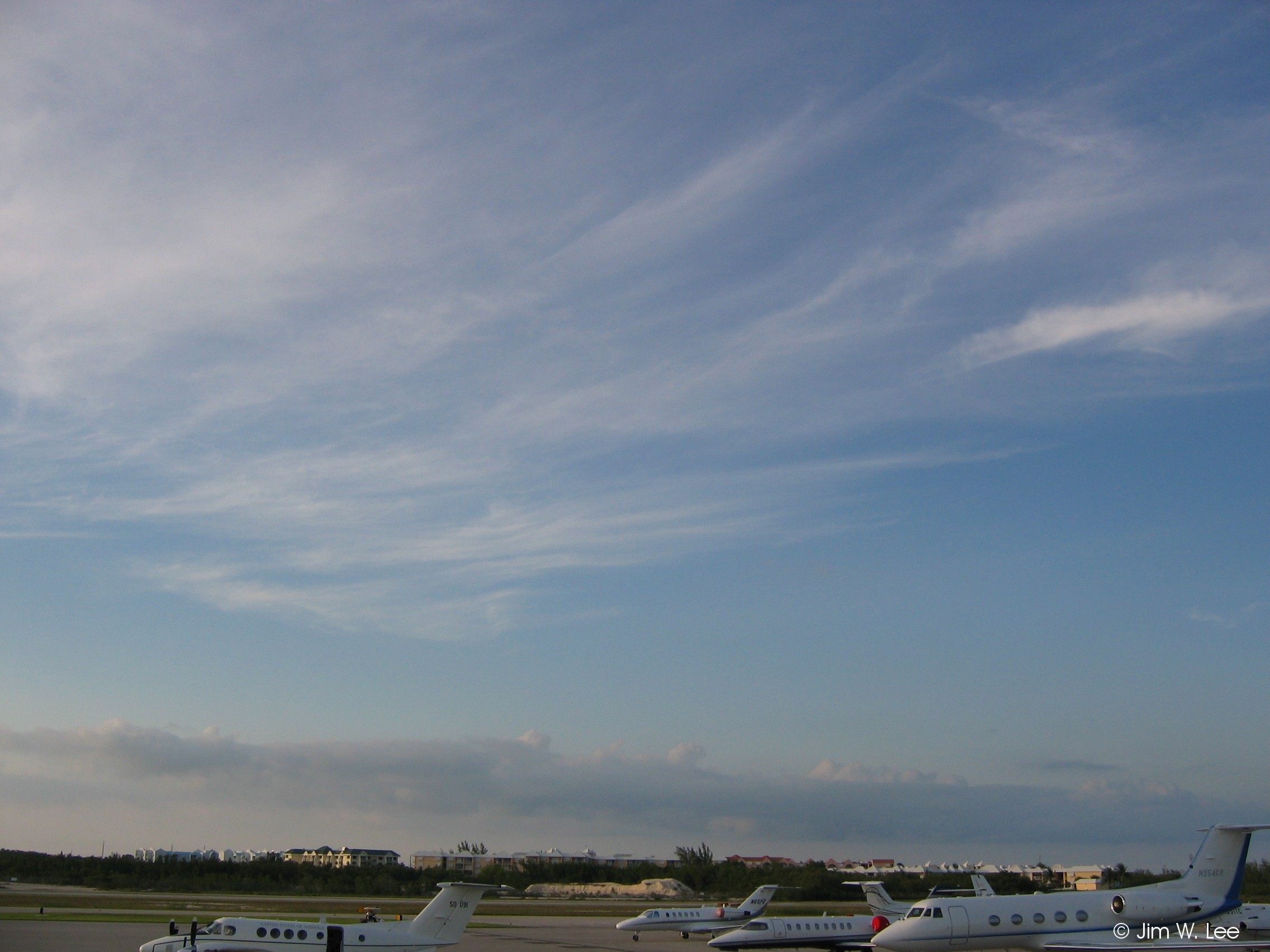
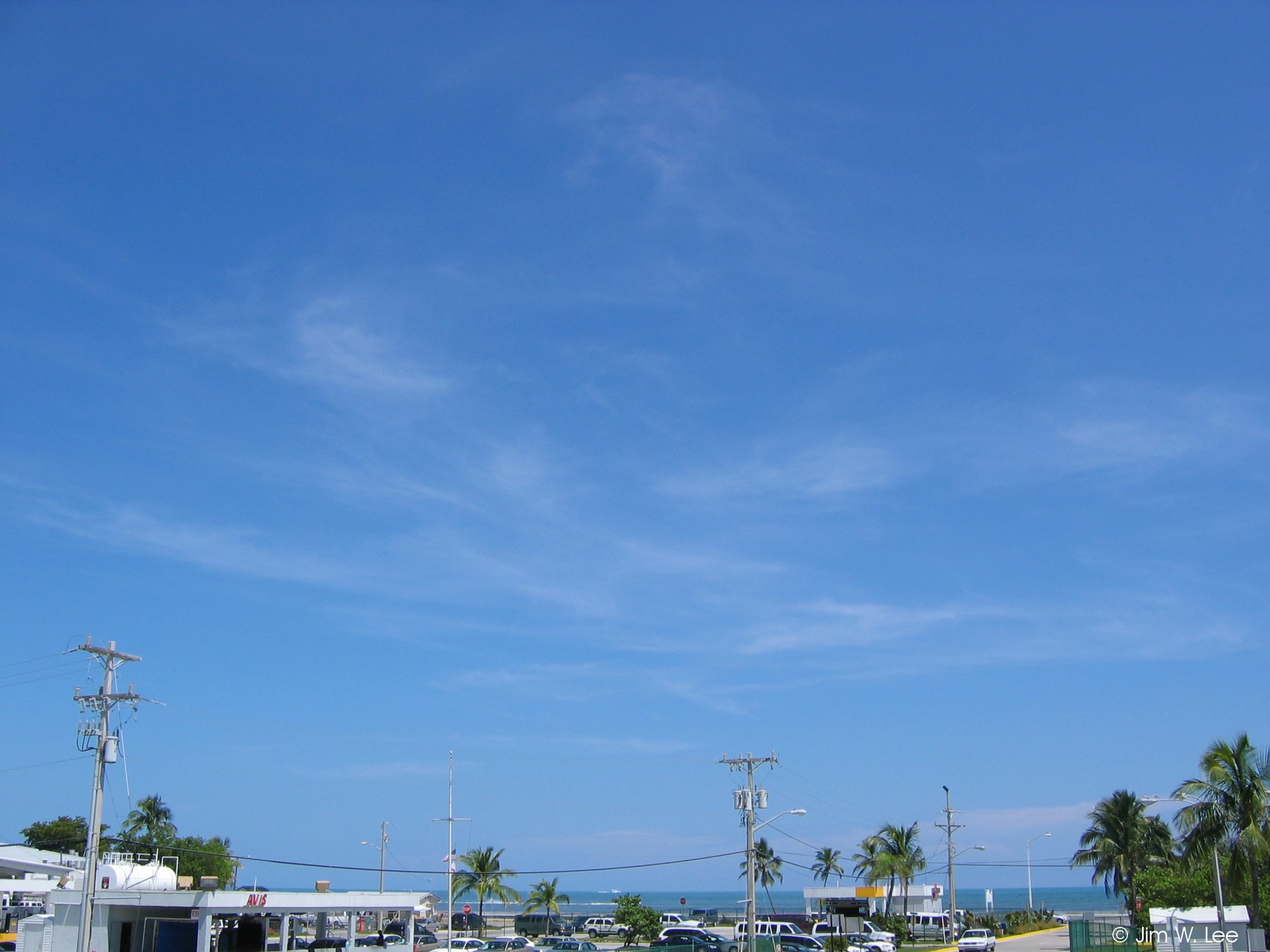
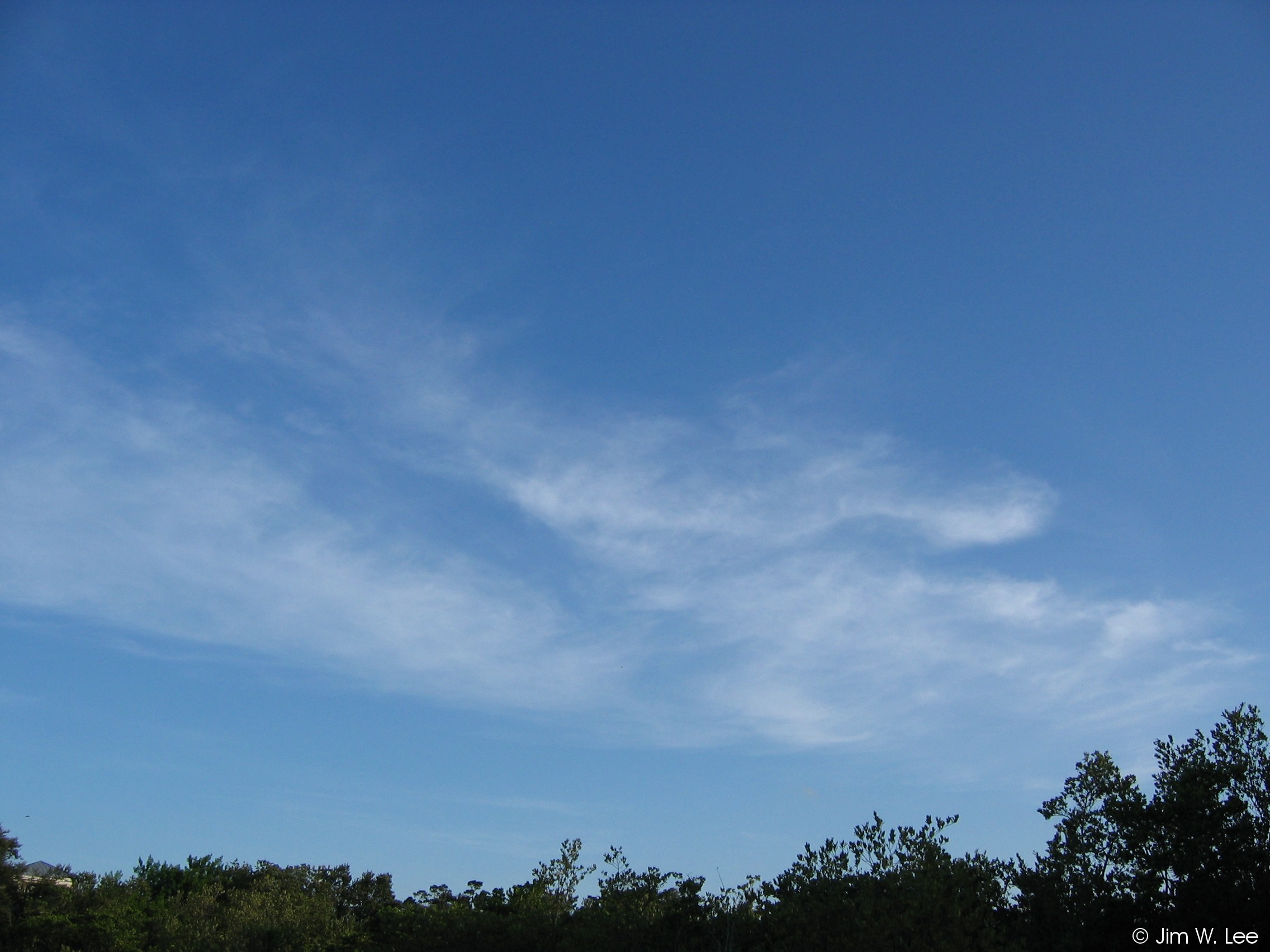
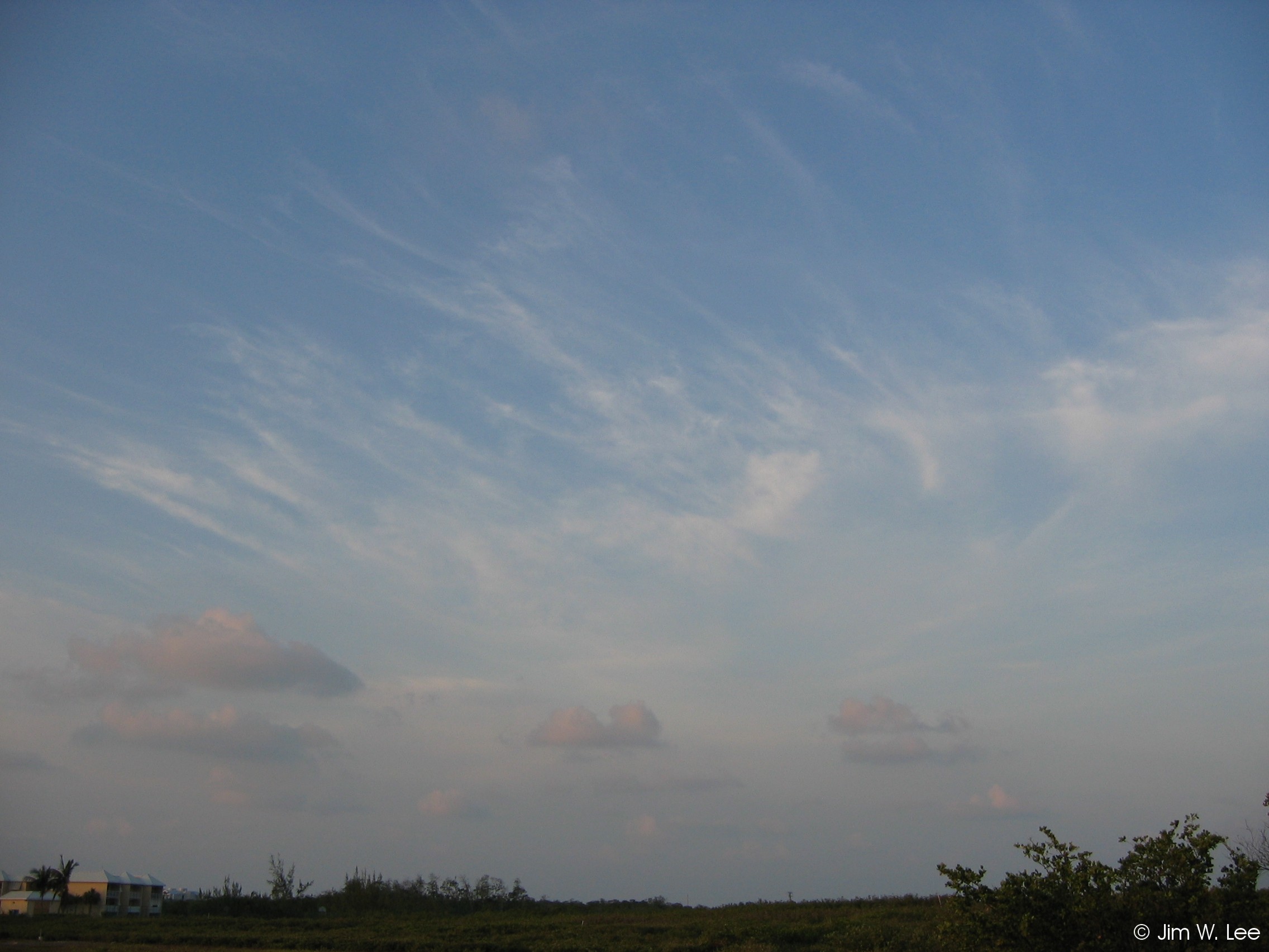
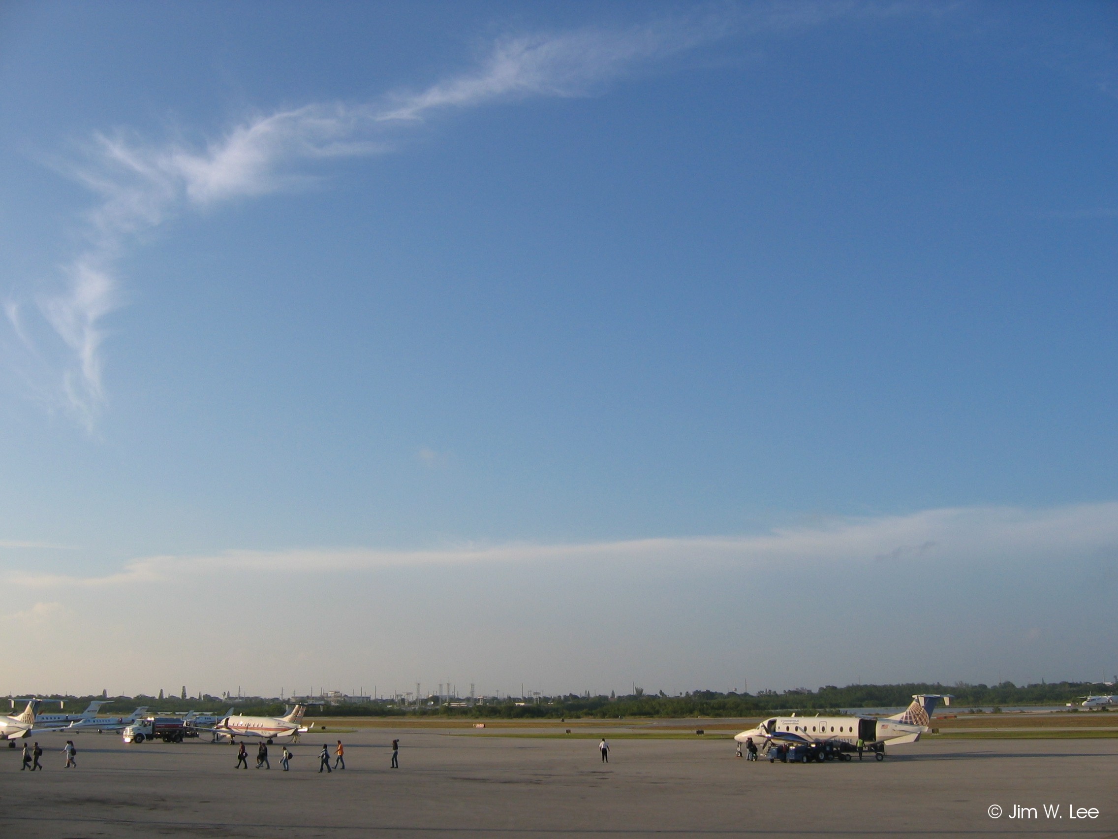
Type 1 (cirrus in the form of filaments, strands, or hooks):
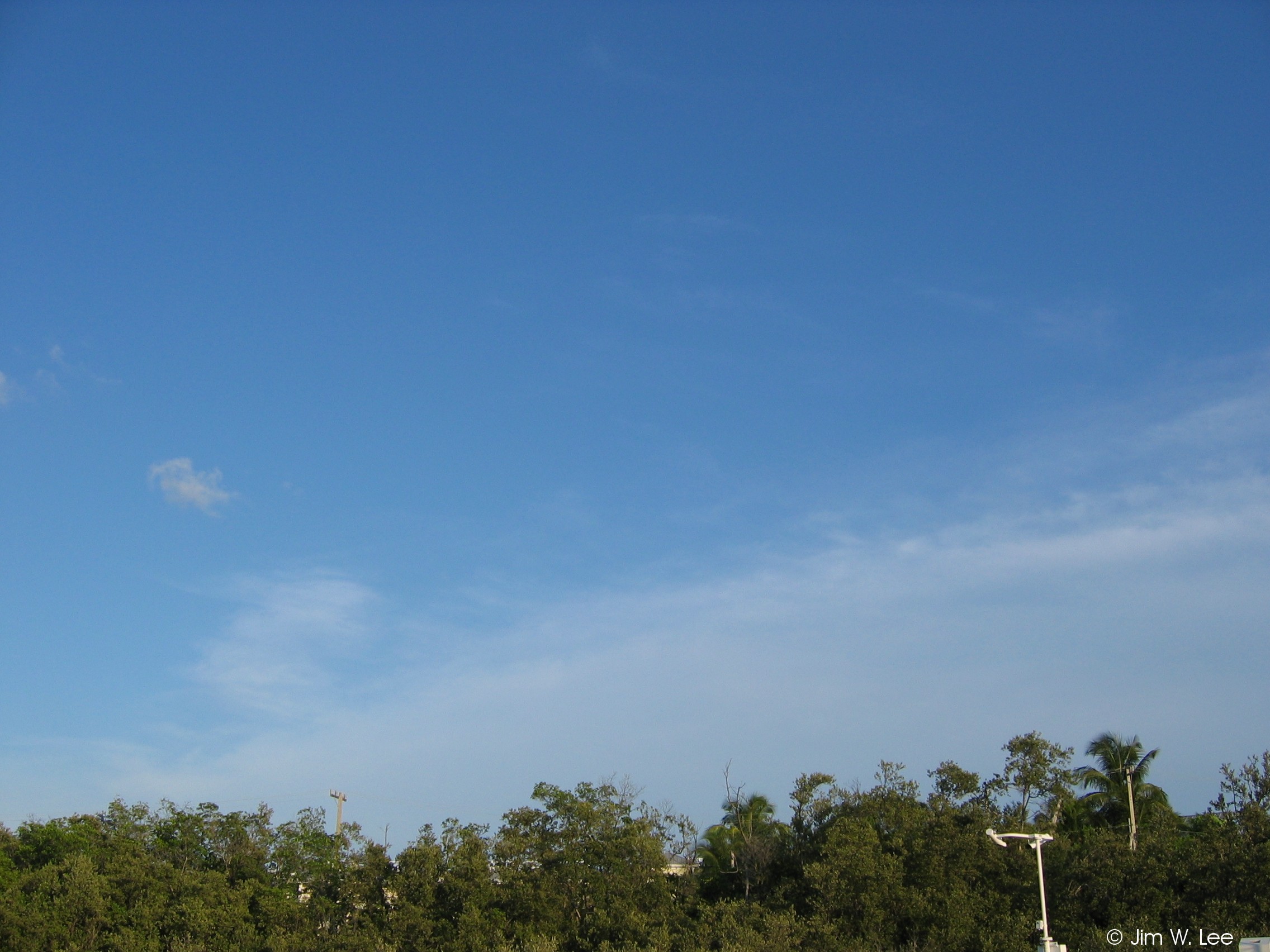
Cirrus clouds form very high in the atmosphere, usually between 15,000 and 30,000 feet above ground, and occur year-round in the Keys. Type 1 cirrus are very thin and whispy, and are usually in the shape of strands and hooks, or looking like feathers or horse tails. They do not give any significant indication of approaching weather.
Type 2 (combination of dense cirrus, cirrus with sproutings, and cirrus in tufts):
Type 2 cirrus are thicker, and often appear as white puffs or sheaves, sometimes with wispy edges. They indicate that there is deep moisture high in the atmosphere.
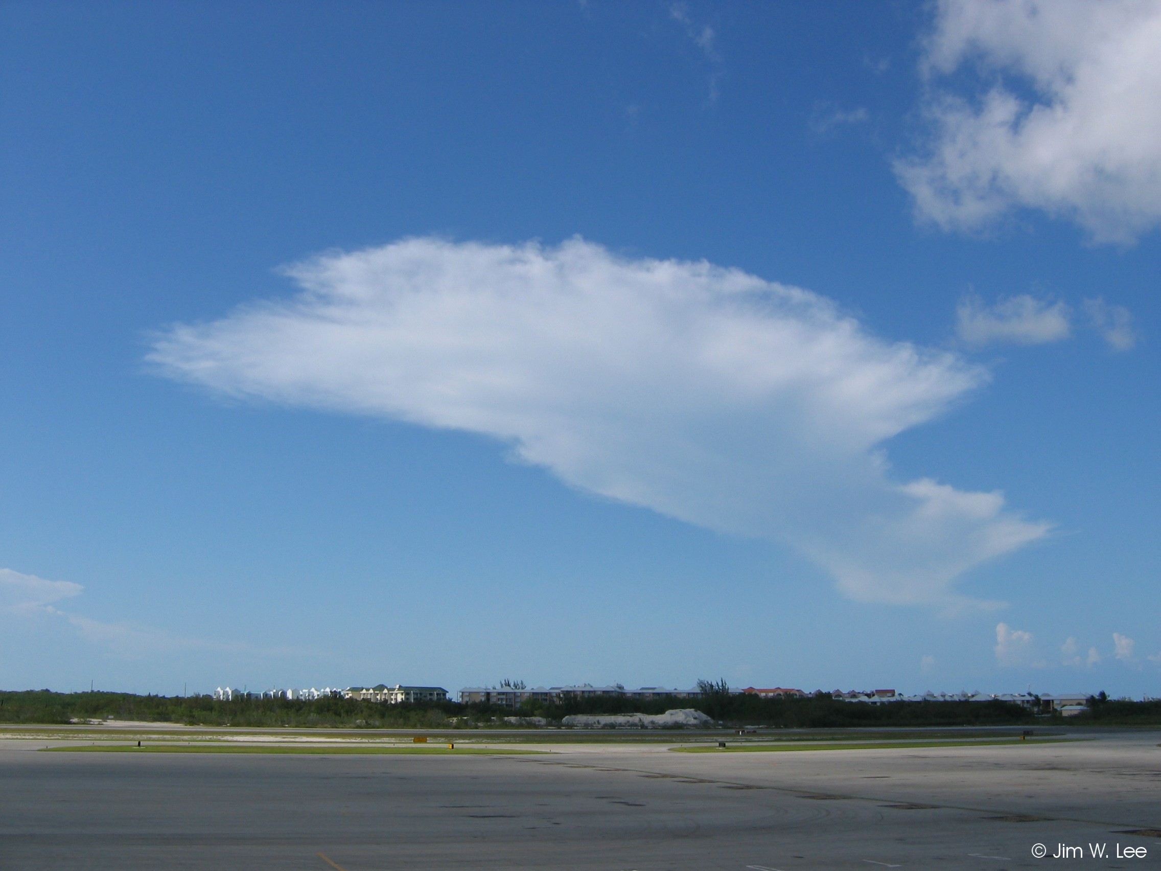
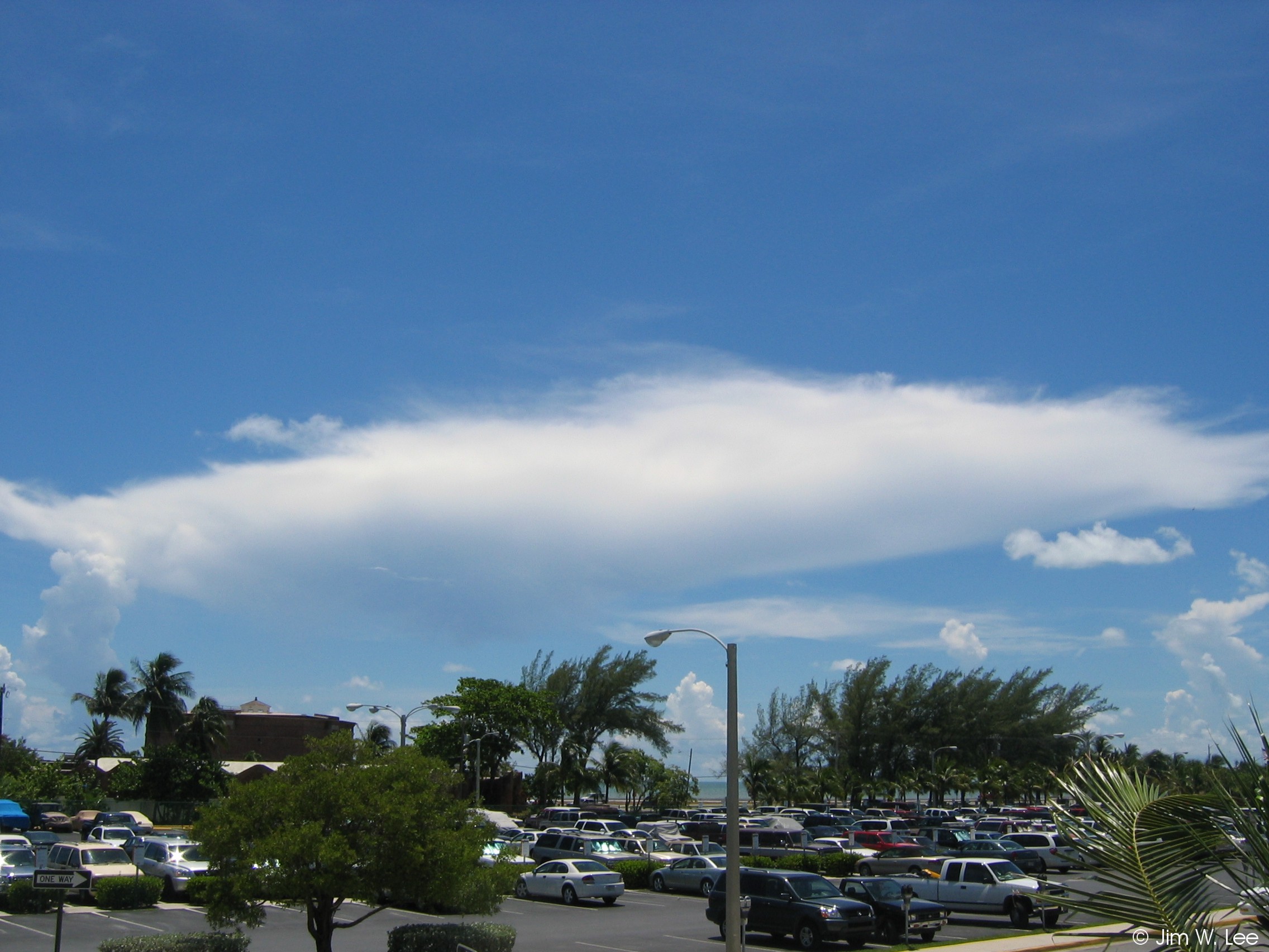
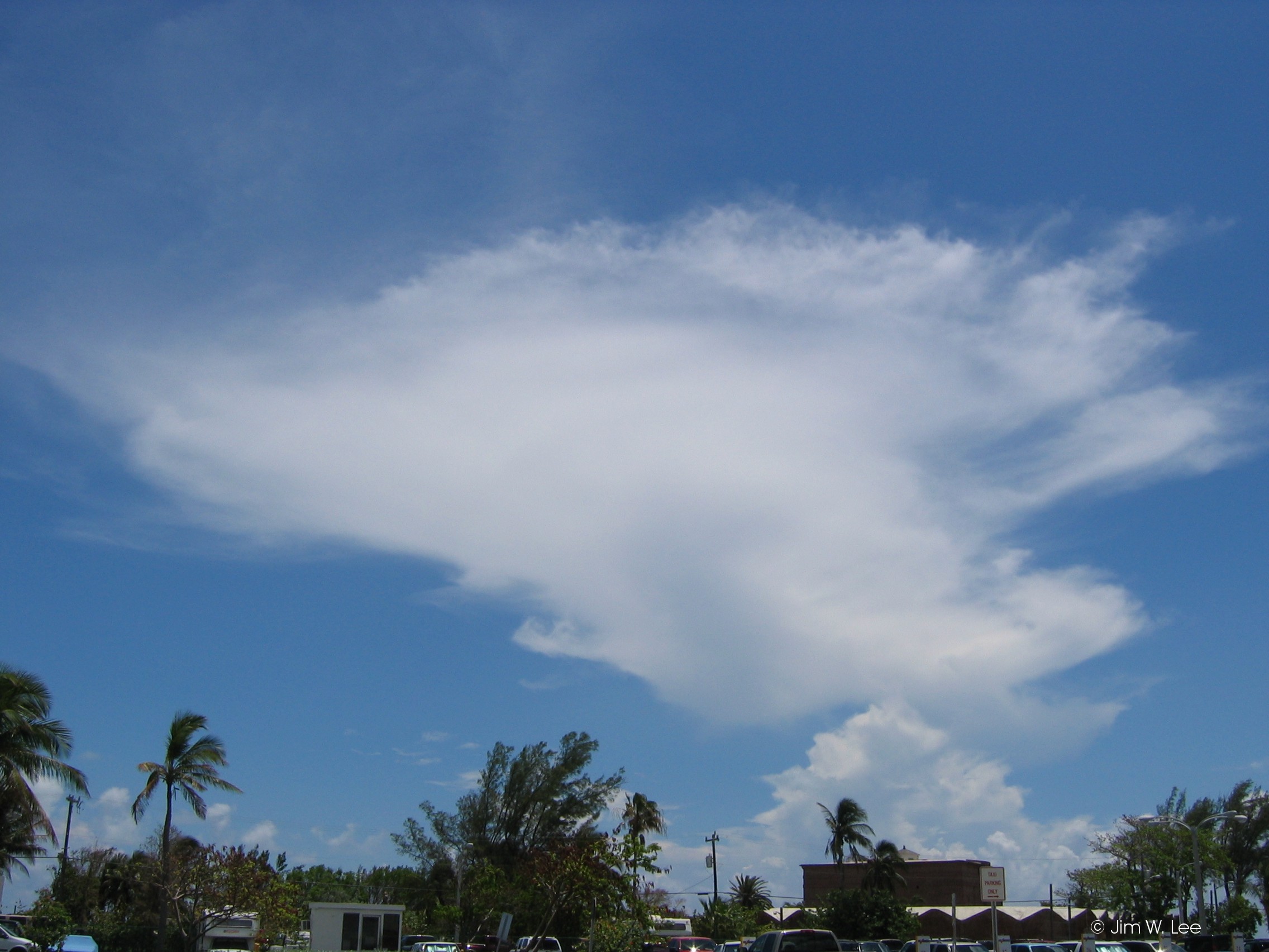
Type 3 (dense cirrus remaining from a CB anvil):
Type 3 cirrus clouds are usually very thick, and result when CB clouds produce anvil-shaped tops, then dissipate, leaving the anvils behind. For a while these cirrus will maintain their shape, then they will gradually spread out and become more diffuse. Type 3 cirrus clouds mean that (low cloud) type 9 CB were previously present, and generally indicate deep moist and unstable conditions.
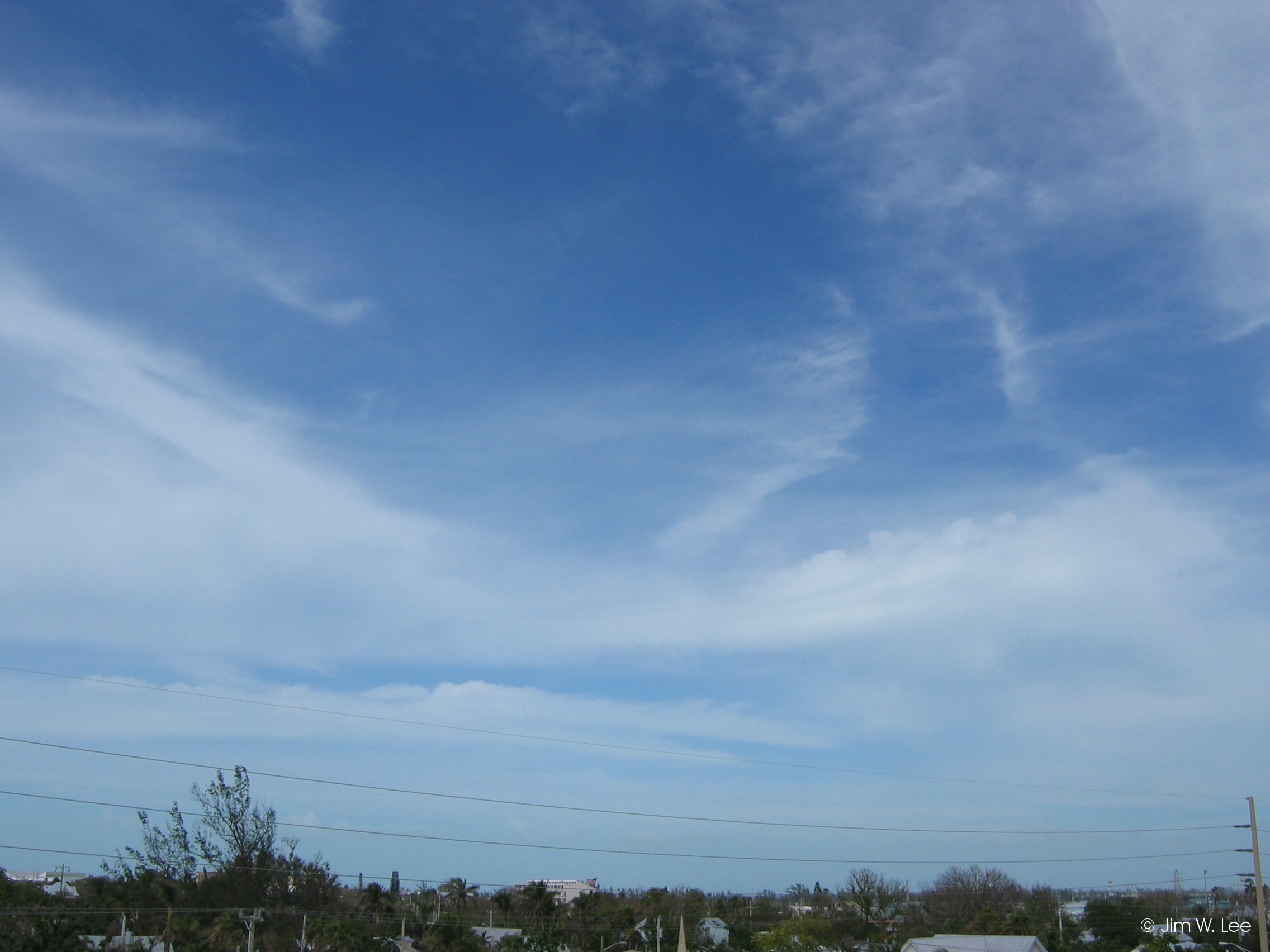
Type 4 (cirrus in hooks or filaments, progressively invading the sky and growing denser):
The only difference between type 4 cirrus and type 1 cirrus are that type 4 cirrus are progressively invading the sky. As discussed on the middle clouds page, progressively invading high or middle clouds can sometimes indicate an impending change in weather, such as an approaching cold front or storm system. However, many times they simply indicate a pocket of moist air passing high overhead, or some other unremarkable phenomenon.
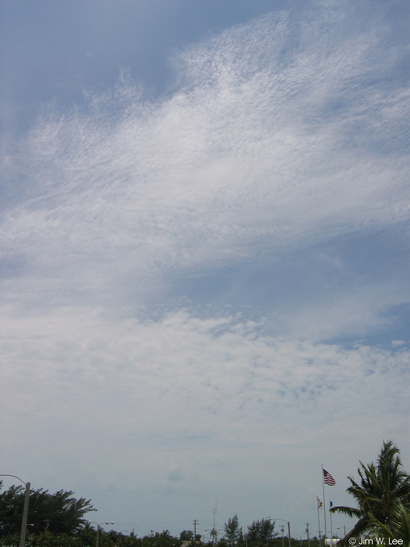
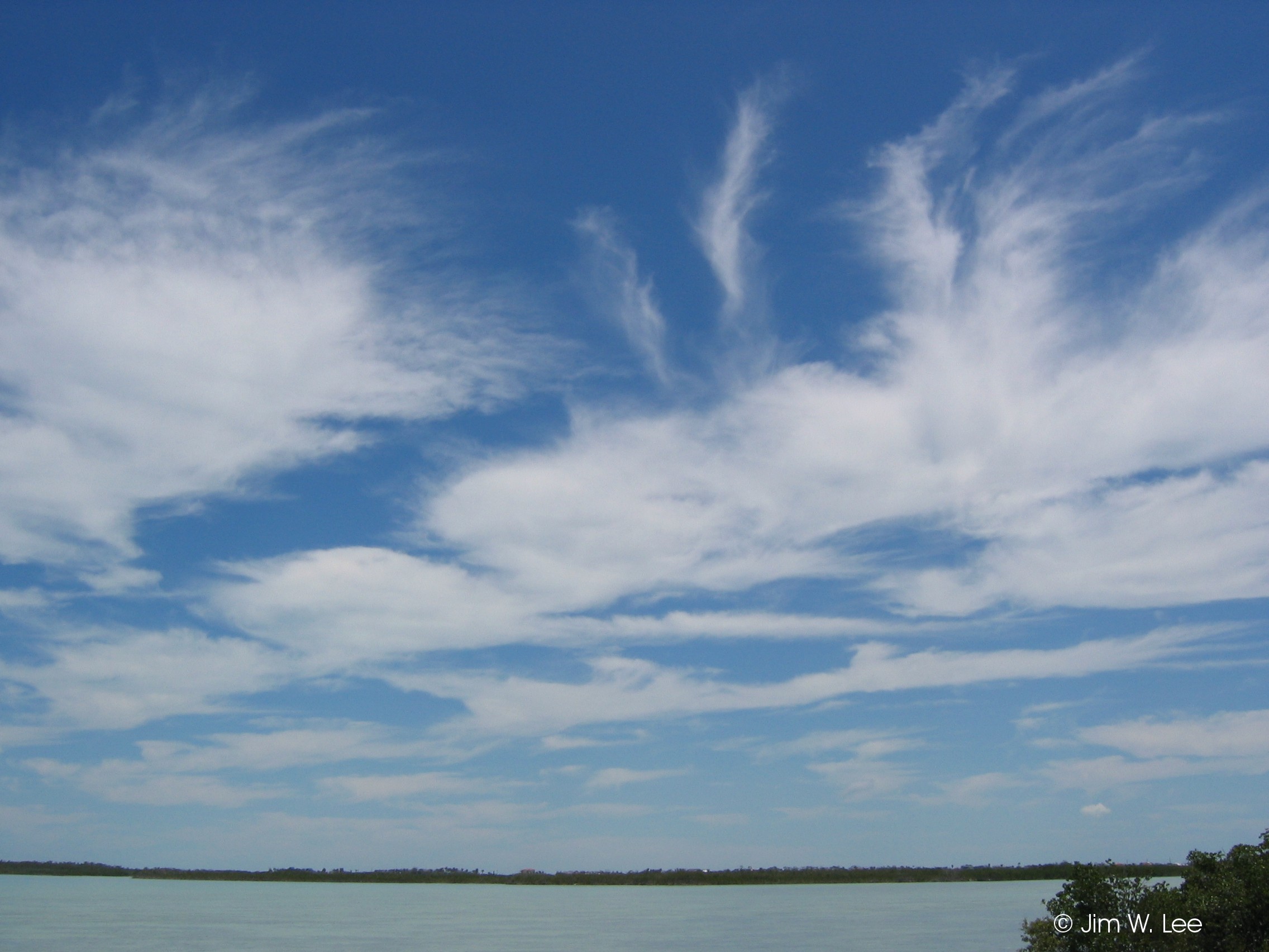
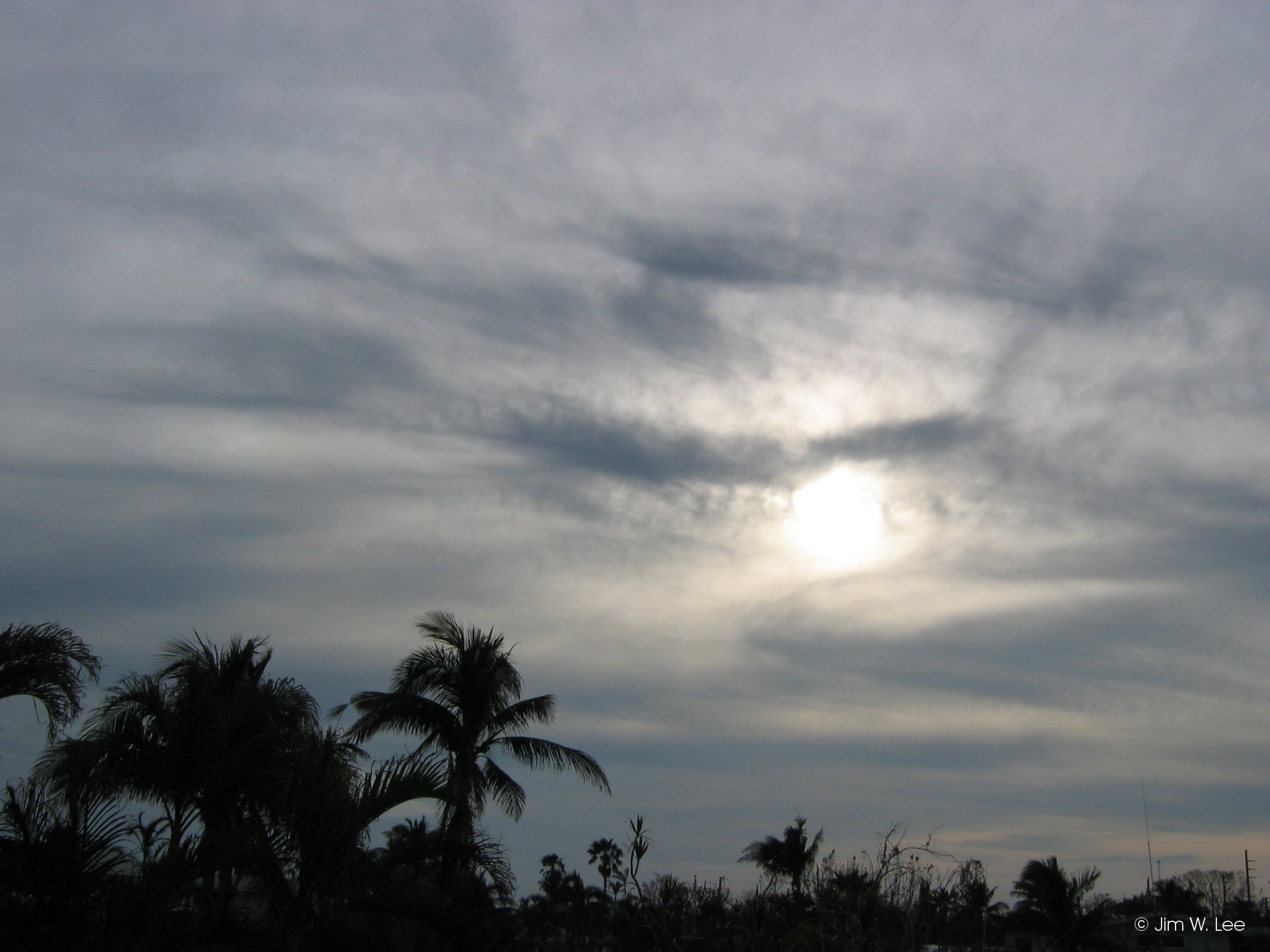
Type 5 (cirrus and/or cirrostratus [CS] progressively invading the sky, veil extends less than 45 degrees above the horizon):
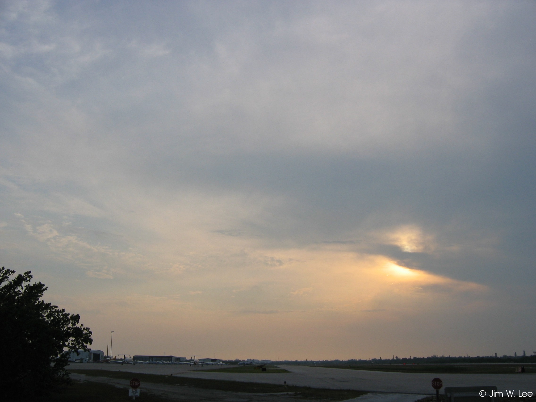
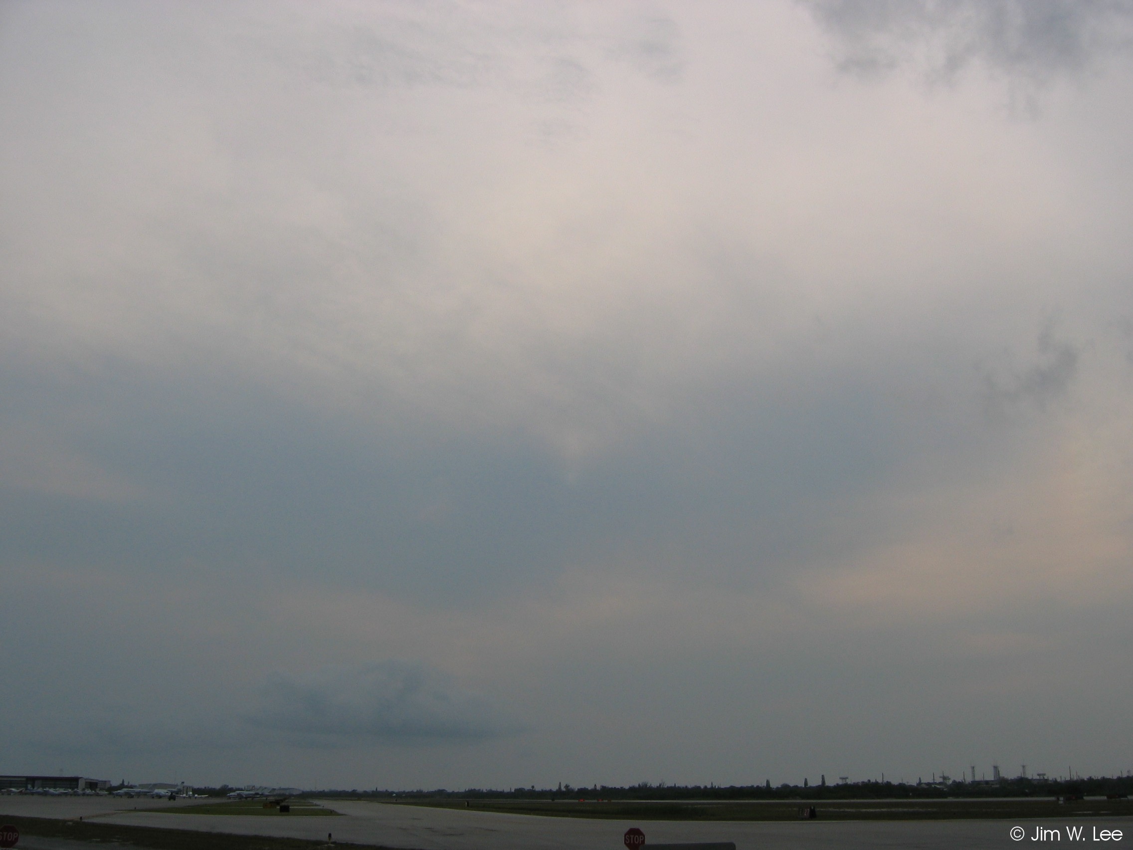
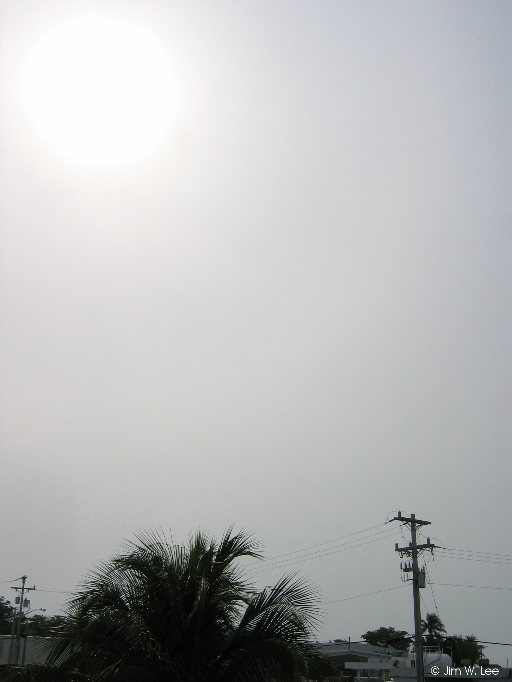
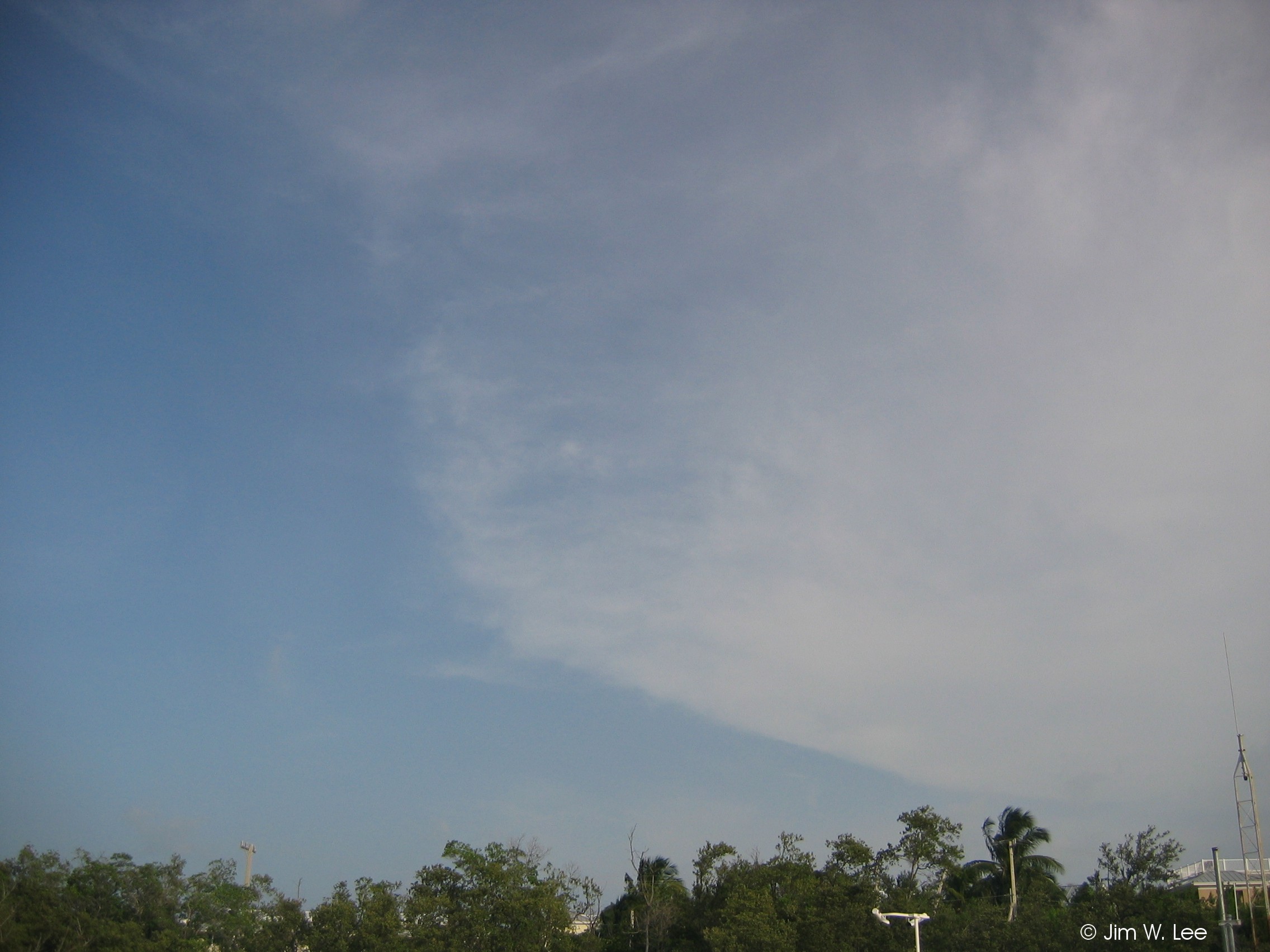
Cirrostratus (CS) clouds vary in thickness, cover large areas, and are generally shapeless and diffuse except at their edges. Sometimes they are thick enough to hide the sun or moon, and other times are so thin that they are only visible because they change the sky color (as in the second photo below type 7 CS). They indicate a large area of moist air at high levels, and when thick are sometimes are associated with spreading from the tops of large storm complexes. Type 5 cirrus/CS are progressively invading the sky, but are still relatively distant because they extend less than 45 degrees above the horizon.
Type 6 (cirrus and/or CS progressively invading the sky, veil extends more than 45 degrees above the horizon):
Type 6 cirrus/CS are identical to type 5 except that they extend more than 45 degrees above the horizon, and can sometimes cover almost all of the sky. However, they cannot cover the entire sky, otherwise they are classified as type 7 CS.
Type 7 (CS covering the entire sky):
Type 7 CS are similar to type 5 and type 6, except that they cover the entire sky. Because of this, they can no longer be identified as "progressively invading".
Type 8 (CS not invading or covering the entire sky):
Type 8 CS do not cover the entire sky, but are also not progressively invading the sky. In other words, they are usually either moving by without getting closer, moving away, or dissipating.
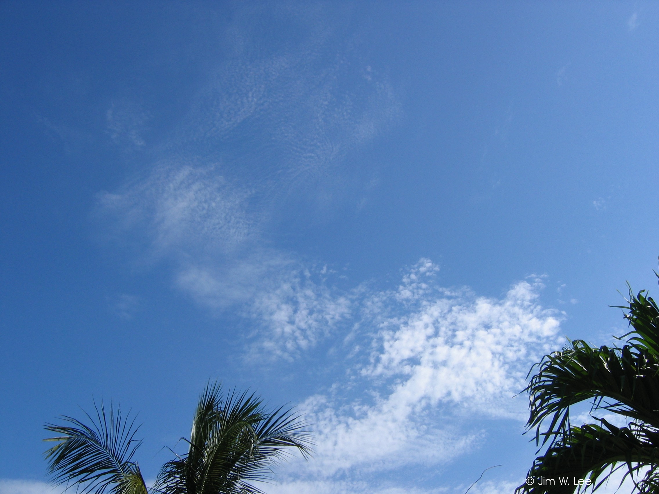
Type 9 (cirrocumulus as the predominant high cloud present):
Cirrocumulus clouds often appear as thin white areas of ripples or small puffs. They can resemble AC clouds, except that the individual cloud elements (puffs) are much smaller. The pictures below both show type 9 cirrocumulus (smaller elements) above (mid-cloud) type 7 AC (larger elements). Cirrocumulus indicate an unstable layer high up in the atmosphere, but do not necessarily portend the approach of any significant weather.