Dangerous heat will expand from the Gulf Coast into the Southern Plains and Desert Southwest through week's end. Additional extreme heat impacting the Pacific Northwest will shift to the northern Plains by the weekend. Tropical Storm Bertha is expected to continue to impact portions of the northern Gulf Coast from the western Florida Panhandle to southeastern Louisiana through tonight. Read More >
| Tropical Depression #2 | ||
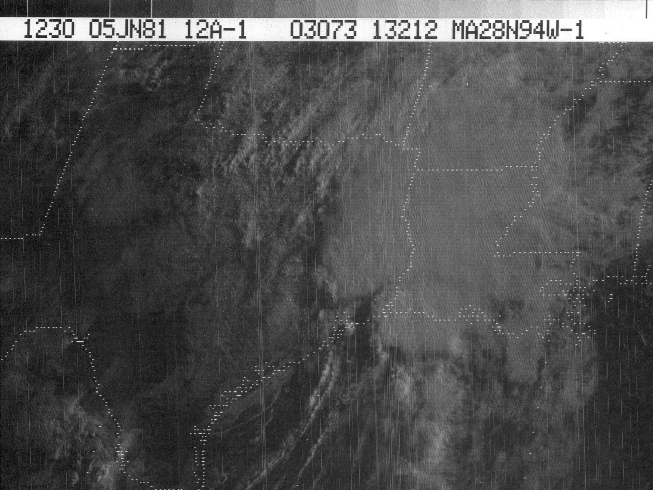
| June 3-5, 1981 | ||
|
|
||
| Additional Data, Maps, Tables | ||||||
| Wind and Pressure | Rainfall | Tornadoes | ||||
| Other Post Tropical Cyclone Reports | ||||
| National Hurricane Center Tropical Depression #2 Storm Wallet of Documents | ||||
| Monthly Weather Review - 1981 Atlantic Hurricane Season | ||||
|
Satellite Animated Imagery |
|||||
|
|||||
Webpage design and content by: Donovan Landreneau