Widespread life-threatening flash and urban flooding continues in south-central Texas, with considerable flooding impacts possible across central Texas. Wildfire smoke is impacting air quality across much of the Great Lakes region into southern New England and the Mid-Atlantic. Monsoonal thunderstorms may produce isolated to scattered flash flooding across the Southwest into the Great Basin. Read More >
|
Observations and Forecasts |
|||||||
|
|
|||||||
|
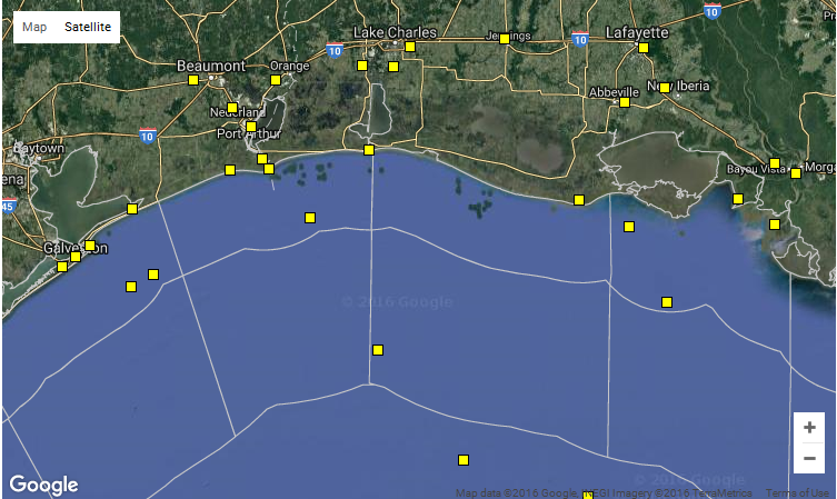
Clicking anywhere on the map above will give you the forecast for that location. Keep in mind that forecasts are generally produced for the waters from the coast out to 20 nautical miles, from 20 nautical miles to 60 miles, and beyond 60 nautical miles. Clicking on a yellow box will give you the latest data from that particular NCDC buoy or surface station. |
| Other Helpful Information | ||||||
|
||||||
|
||||||
|
||||||