
Dangerous and extreme heat will remain across portions of the Central U.S. this week, persisting across the Mid to Lower Mississippi Valleys, Gulf Coast, Southern Plains and portions of Texas. A heat wave over the Southwest will intensify late this week. Severe thunderstorms and flash flooding will spread from the Great Lakes/Ohio Valley to the Mid-Atlantic and Northeast the next few days. Read More >
|
JANUARY 20 2010 SEVERE WEATHER |
| Overview |
| A supercell thunderstorm developed near the Lake Charles area before moving northeastward across Jefferson Davis and Allen Parishes. The storm strengthened significantly as it traveled across Evangeline Parish, with a mesocyclone evident on radar imagery. Wind damage from downbursts associated with the forward flank downdraft and rear flank downdraft of the storm occurred near and northeast of Ville Platte. Continuing across northern St. Landry Parish and southern Avoyelles Parish, the storm produced one brief tornado near Morrow that was photographed by a stormchaser. Several reports of large hail were also received around Big Cane. The supercell then moved into southern Mississippi. |
| Local Storm Reports |
| Experimental Graphical Local Storm Reports for January 20 2010 SPC Storm Reports for January 20 2010 List of all Local Storm Reports January 20 2010 Google Earth KML data file |
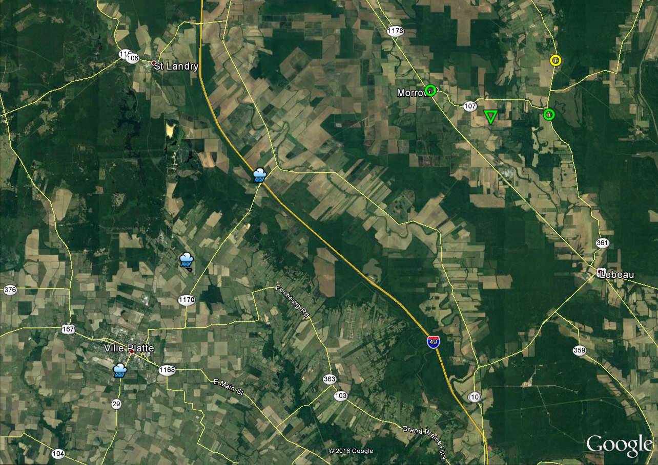
| Google Map Legend | |||||
|
Tornadoes |
EF0 |
EF1 |
EF2 |
||
|
Hail |
<1" |
1"+ |
2"+ |
3"+ |
4"+ |
| T'storm Wind |
|
||||

