
A slow moving front will produce a threat for heavy rainfall and severe weather from New Mexico into the western High Plains through the weekend. Heavy rainfall is also expected this weekend in South Florida. The Bering Sea storm continues to bring heavy precipitation, strong winds, and minor to major coastal flooding through the weekend across western Alaska. Read More >
Lake Charles, LA
Weather Forecast Office
Event Summary
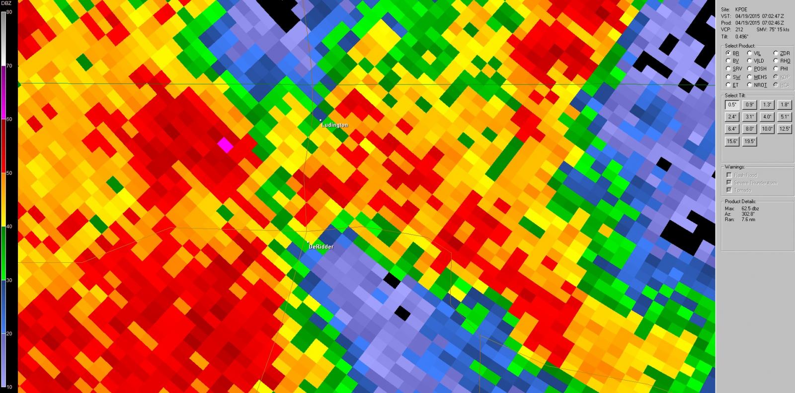
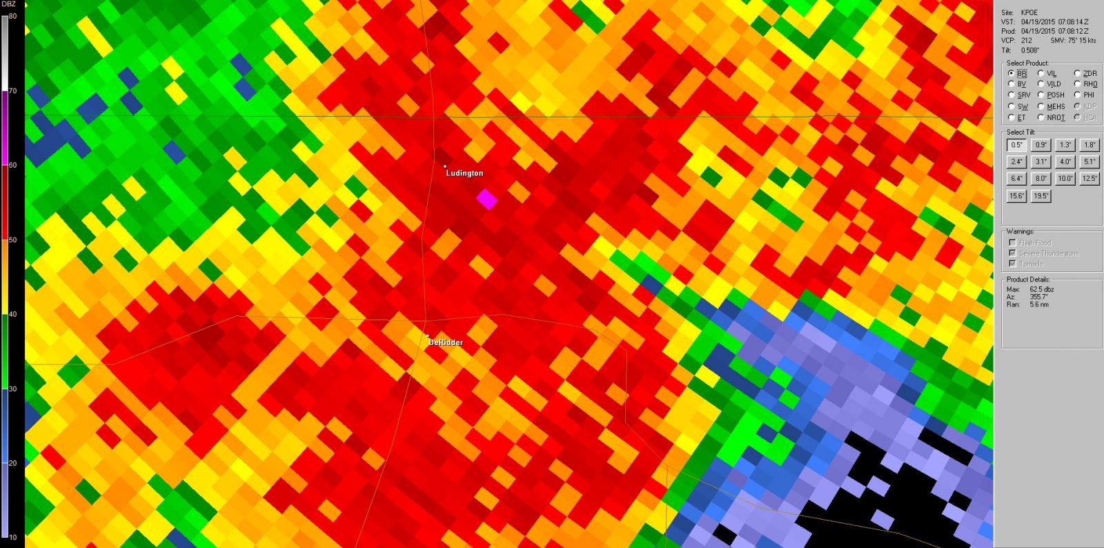
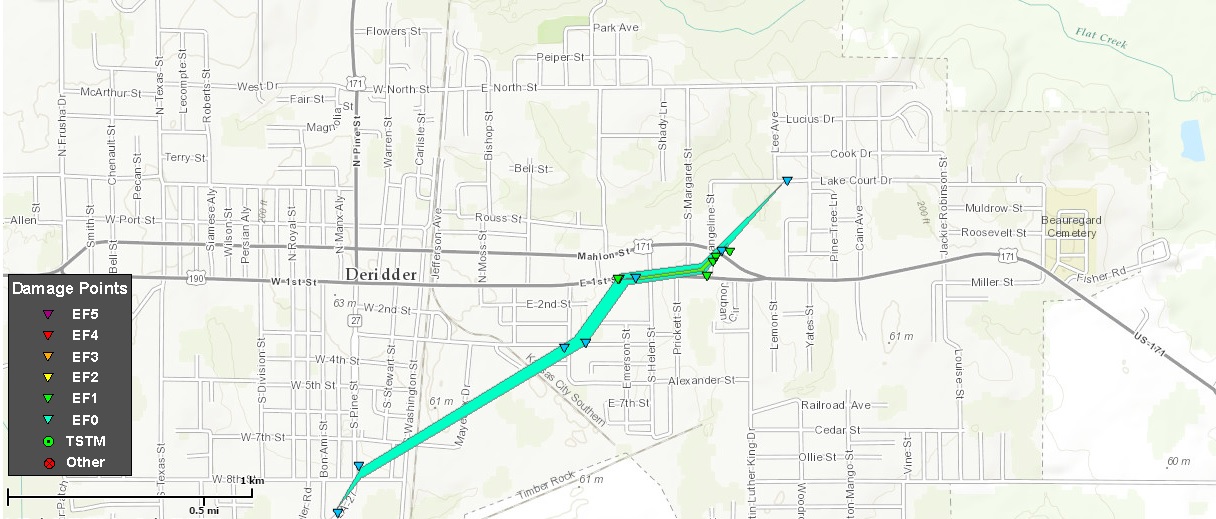
A line of severe storms developed over North Central Texas during the late afternoon of the 18th and moved into East Texas and Central Louisiana during the early morning of the 19th. While the line of storms had weakened considerably through the late evening hours while moving through Texas one storm did produce a brief tornado in De Ridder. The damage started one Highway 27 near West 9th Street and passed through a neighborhood while moving northeast. Mostly tree damage was occurred through the neighborhood. The tornado strengthened when it approached and crossed Highway 171 damaging severe buildings. The tornado dissipated as it approached another neighborhood north of Highway 171 causing only minor tree damage on Lake Court Drive.
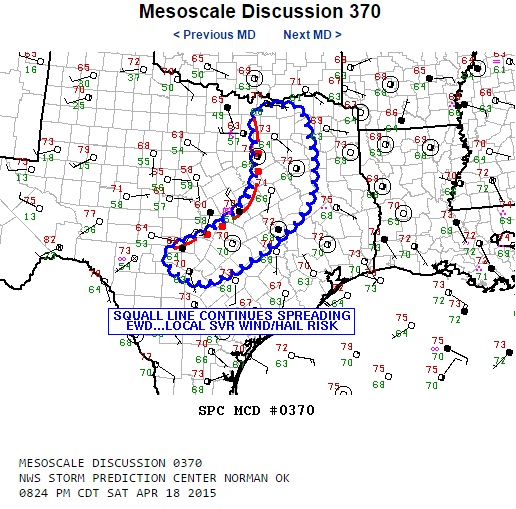
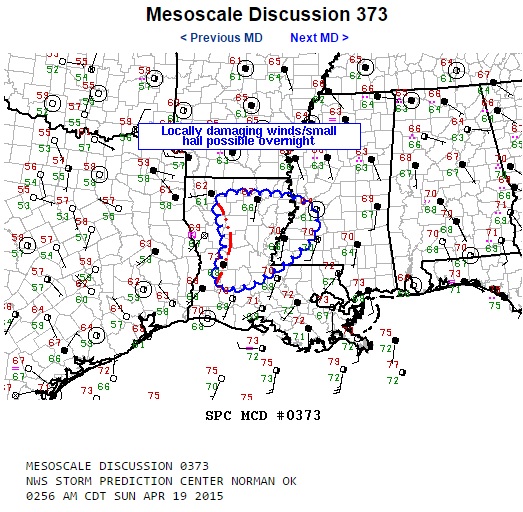
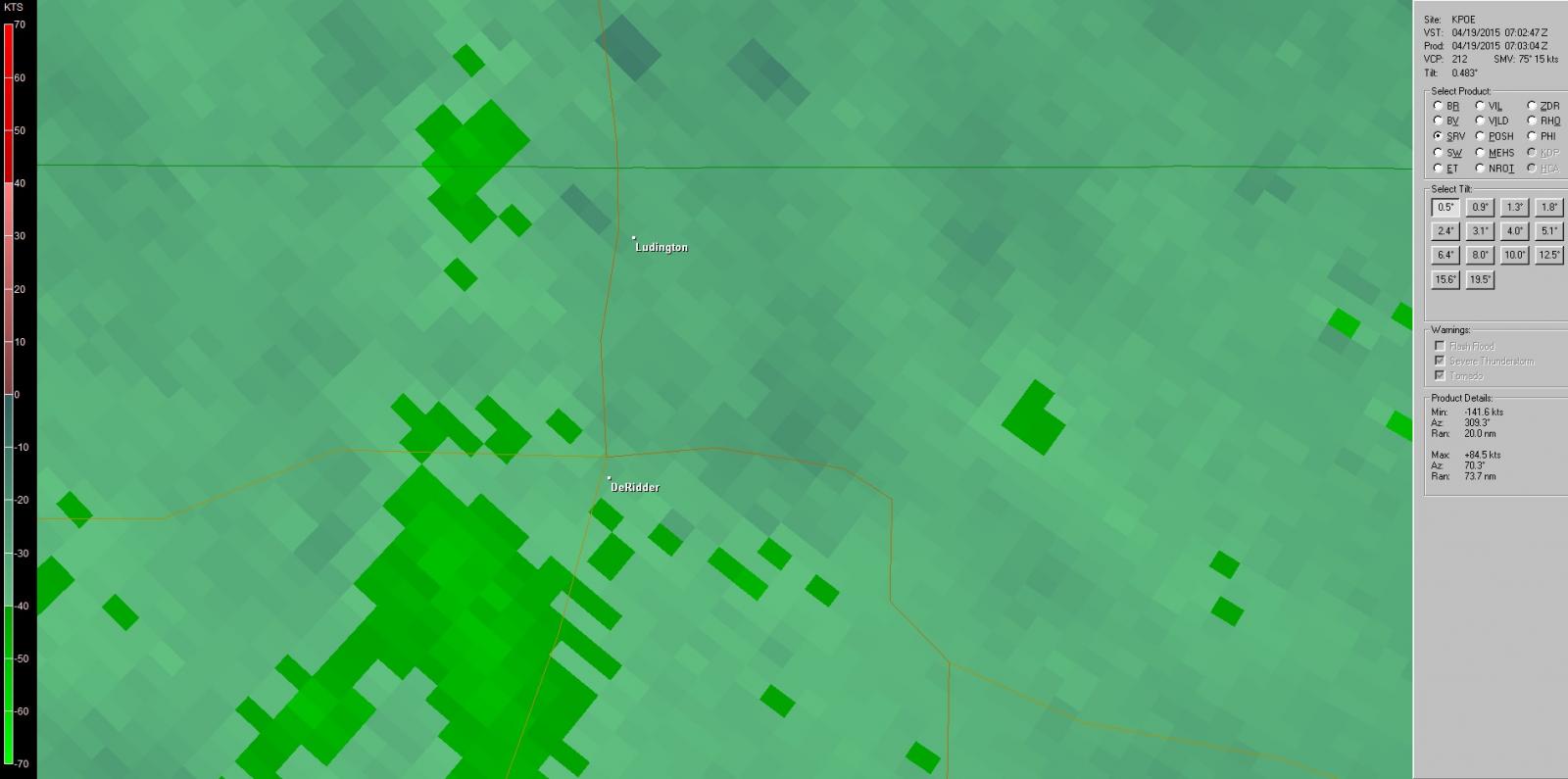
Below is a collection of radar images from KPOE at Fort Polk. The top set of images is reflectivity with the second row of storm relative velocity(srv).
 |
 |
 |
 |
|
Tree damage along East 4th Street
|
Roofing removal at East 1st and Evangeline Street
|
|
Roofing removal at Evangeline Street and Mahlon Street
|
East Village Shopping Center
|
Forecasts
Aviation Weather
Activity Planner
Mardi Gras Decision Support
Marine Forecasts
Local Products
Model Data
Forecaster's Discussion
Fire Weather
Graphical Forecasts
Wet Bulb Globe Temps
Other Links
National Hurricane Ctr
Storm Prediction Ctr
Weather Prediction Ctr
Other Links
Office History
LCH StoryMap
Hazards
Severe Weather
Tropical Weather
National Outlooks
Local Storm Reports
Tropical Cyclone Reports
Current
Observations
Tide Data
Satellite Data
Hydrology
Calcasieu Par. Network
Jefferson Co. DD6 Network
River/Lake Forecasts
Radar
Shreveport (SHV)
New Orleans (LIX)
Fort Polk (POE)
Houston/Galveston (HGX)
Lake Charles (LCH)
Probabilistic Pages
Probabilistic Snowfall
Probabilistic Rainfall
Probabilistic DSS

US Dept of Commerce
National Oceanic and Atmospheric Administration
National Weather Service
Lake Charles, LA
500 Airport Boulevard
Lake Charles, LA 70607
(337) 477-5285 M-F 8a to 4p only
Comments? Questions? Please Contact Us.


 Follow us on X
 Follow us on Facebook
 Follow us on YouTube
 LCH RSS Feed