Louisville, KY
Weather Forecast Office
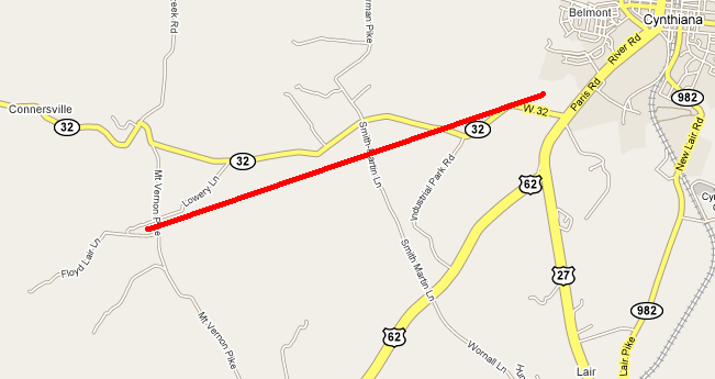
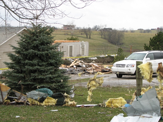
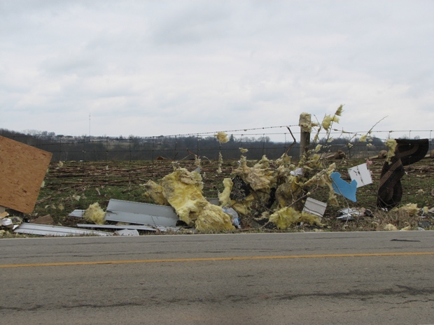
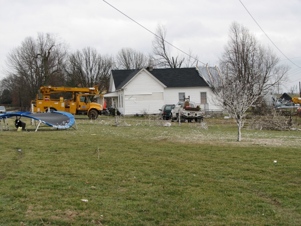
The tornado touched down on Mount Vernon Road three miles southwest of Cynthiana and caused damage to a barn and a home. The tornado then continued northeast across farmland, doing tree and fence damage.
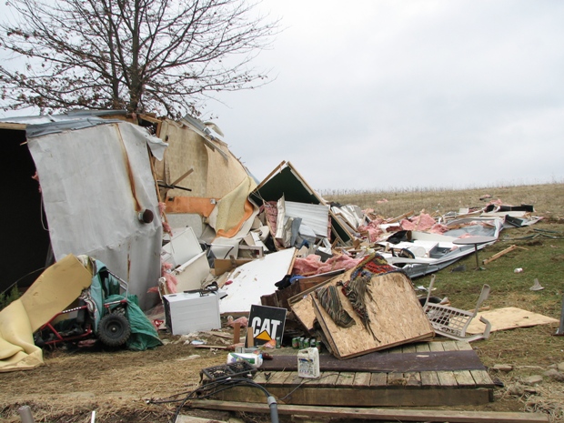
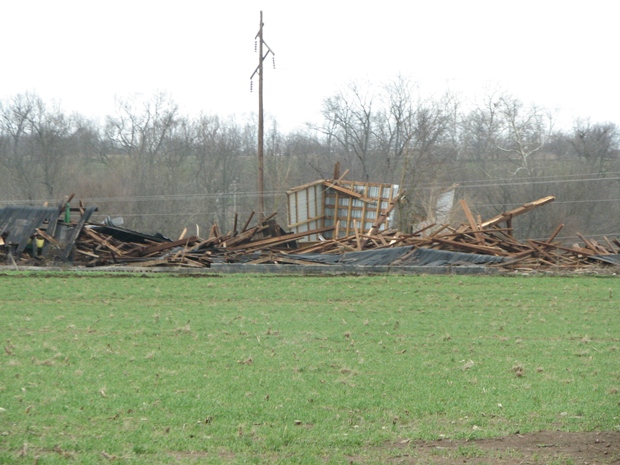
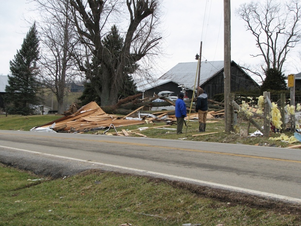
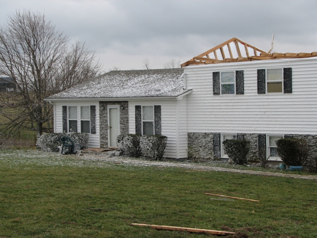
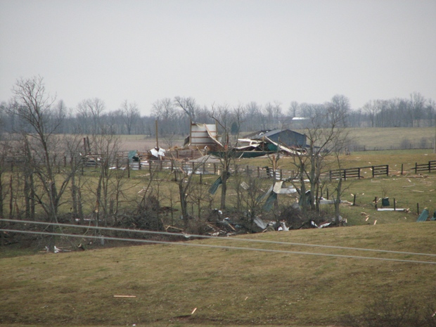
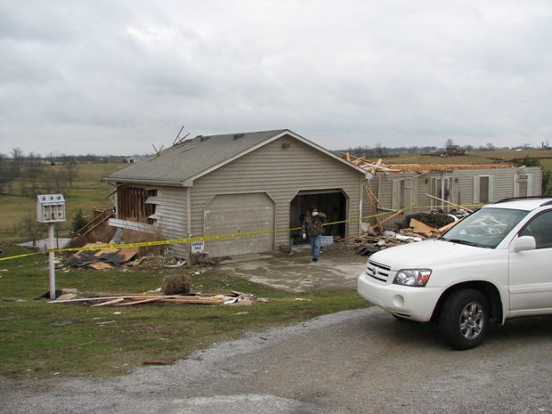
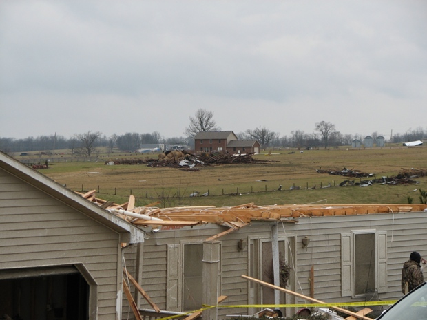
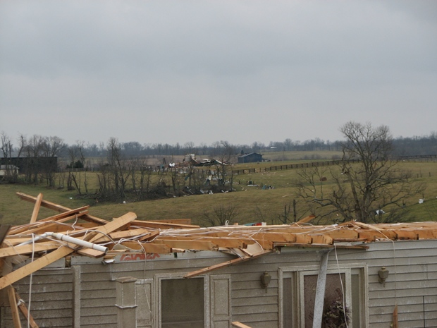
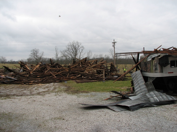
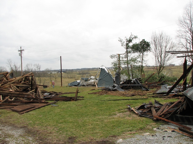
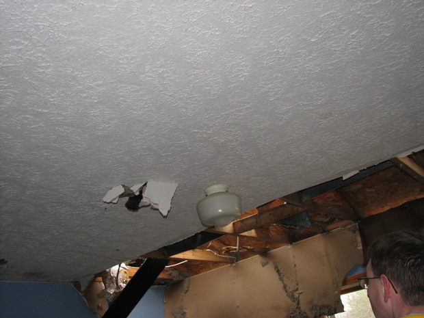
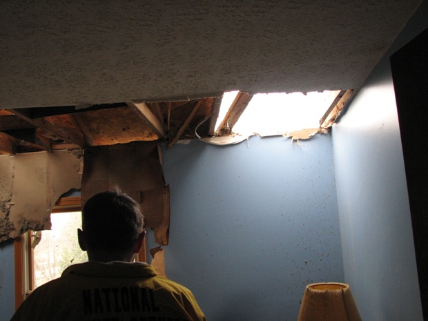
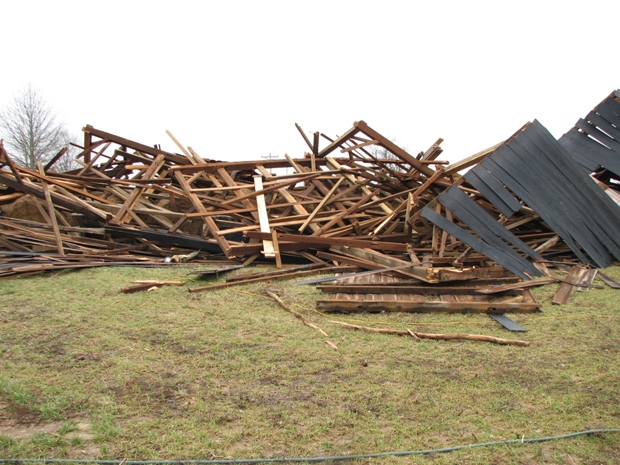
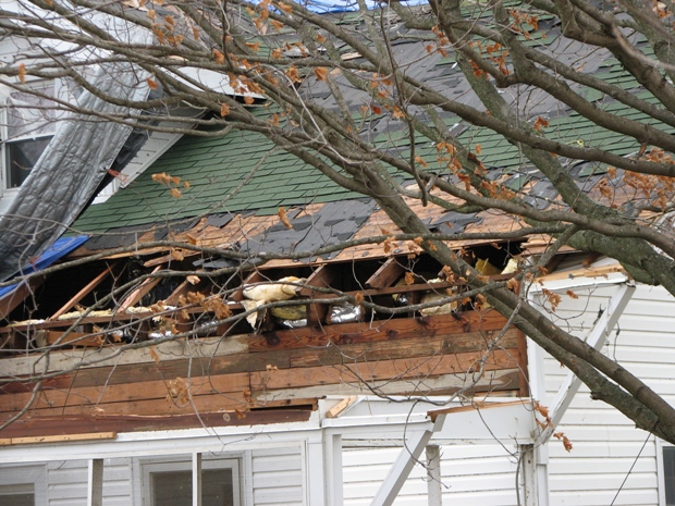
Several homes on KY 32 (Connersville Road) sustained damage. Several barns and outbuildings were destroyed as the tornado strengthened to an EF2. Roofs were lifted off structures and buildings were moved off their foundations. Numerous hardwood trees were broken off at the base.
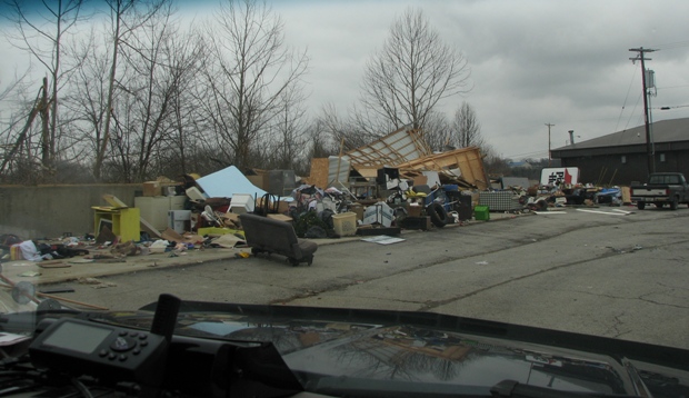
The tornado then continued northeast, causing tree and barn damage before lifting at the southwest edge of Cynthiana. Straight-line winds, however, continued into town at speeds of 70 mph and damaged businesses and signs along US 27/62.
(click on the image for a larger version)
 |
 |
 |
 |
 |
 |
 |
 |
 |
 |
 |
 |
 |
 |
 |
 |
 |
 |
 |
Click here for radar imagery of this event.
Page Updated: 02/15/2008 11:00 AM EST
Current Hazards
Hazardous Weather Outlook
Storm Prediction Center
Submit a Storm Report
Advisory/Warning Criteria
Radar
Fort Knox
Evansville
Fort Campbell
Nashville
Jackson
Wilmington
Latest Forecasts
El Nino and La Nina
Climate Prediction
Central U.S. Weather Stories
1-Stop Winter Forecast
Aviation
Spot Request
Air Quality
Fire Weather
Recreation Forecasts
1-Stop Drought
Event Ready
1-Stop Severe Forecast
Past Weather
Climate Graphs
1-Stop Climate
CoCoRaHS
Local Climate Pages
Tornado History
Past Derby/Oaks/Thunder Weather
Football Weather
Local Information
About the NWS
Forecast Discussion
Items of Interest
Spotter Training
Regional Weather Map
Decision Support Page
Text Products
Science and Technology
Outreach
LMK Warning Area
About Our Office
Station History
Hazardous Weather Outlook
Local Climate Page
Tornado Machine Plans
Weather Enterprise Resources
US Dept of Commerce
National Oceanic and Atmospheric Administration
National Weather Service
Louisville, KY
6201 Theiler Lane
Louisville, KY 40229-1476
502-969-8842
Comments? Questions? Please Contact Us.


 Weather Story
 Weather Map
 Local Radar