
Heavy rain and widely scattered severe storms capable of large hail, damaging winds, and possibly a tornado are expected over portions of the central and southern Plains into the Lower Missouri Valley. Unseasonable warmth will continue for a few more days across the Midwest and Southeast where several daily record highs could fall. Read More >
The first three weeks of March 2021 were fairly quiet with seasonable temperatures and precipitation. The most notable event was a significant warm-up from the 10th to the 12th with average daily temperatures as much as 20 degrees warmer than normal. One to three inches of rain fell on southern Indiana and north central Kentucky on the 11th-12th as a slow-moving cold front crossed the region.
Things got a little more interesting in the final week of the month. On the 25th a strong low pressure system traveled from the Ozarks to the eastern Great Lakes. Severe storms developed ahead of the low's trailing cold front from the Ohio Valley into the Southeast. Early in the evening a lone storm moved from Nashville almost all the way to Cincinnati, dropping hail along its path through central Kentucky. It also produced some wind damage southeast of Bowling Green. Then later that evening a line of storms moved in from the west and produced three small tornadoes from Ohio County through Grayson County to LaRue County.
On the night of the 27th-28th southern Kentucky was on the northern edge of torrential rains and catastrophic flooding in the Tennessee Valley. Two to four inches of rain fell along the KY/TN border from Tompkinsville to Albany.
| Average Temperature | Departure from Normal | Precipitation | Departure from Normal | Snowfall | Departure from Normal | |
| Bowling Green | 52.8° | +4.4° | 5.45" | +1.04" | 0 | -1.1" |
| Frankfort | 49.4° | +4.5° | 4.28" | -0.10" | ||
| Lexington | 48.1° | +3.0° | 4.73" | +0.66" | 0 | -1.4" |
| Louisville Ali | 52.7° | +4.9° | 4.76" |
+0.59" |
0 | -1.4" |
| Louisville Bowman | 51.3° | +4.3° | 4.30" | +0.14" |
Records
No records were set.
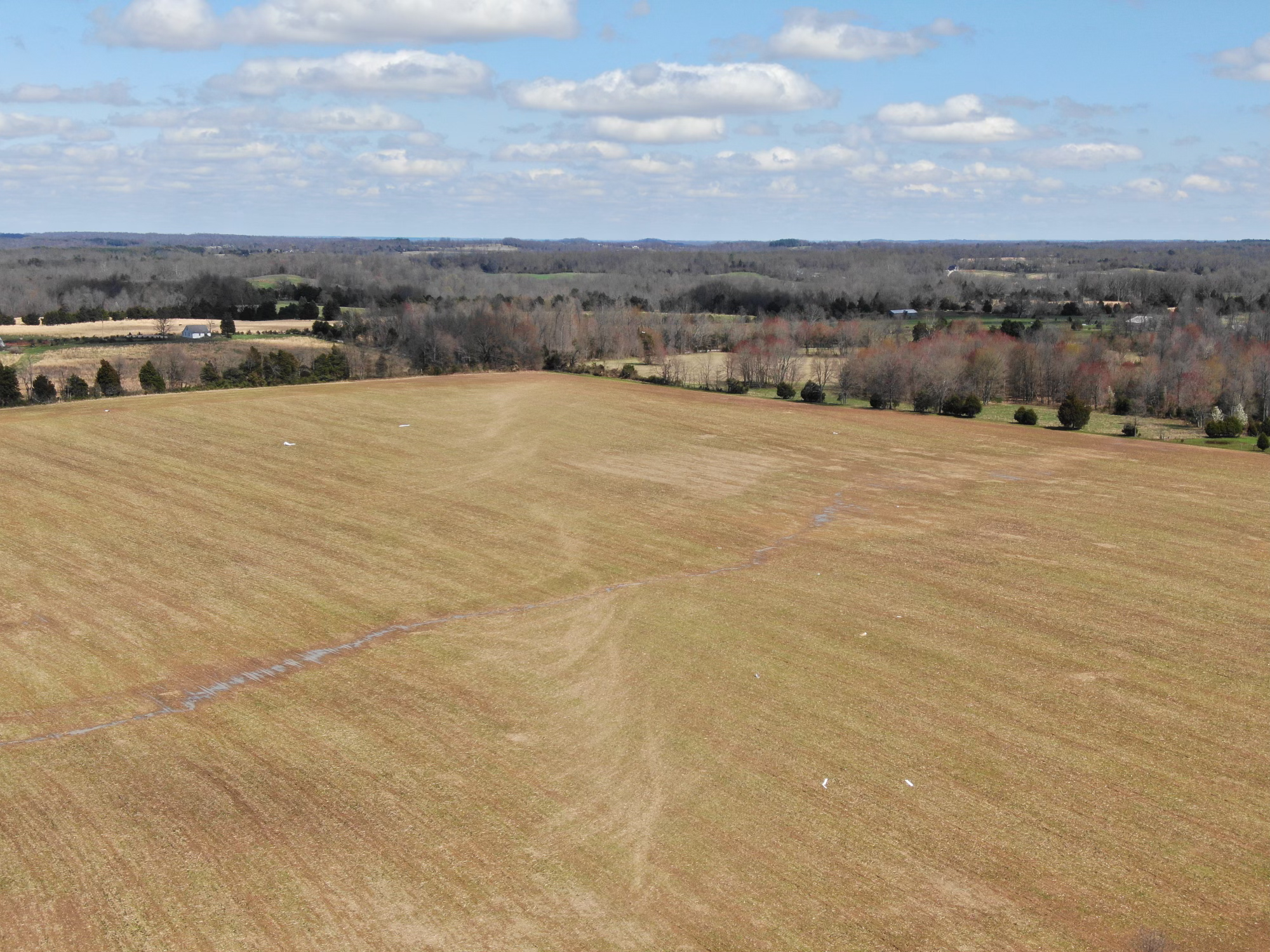
Scour marks from an EF-0 tornado in Grayson County on the 25th. Photo taken by NWS Louisville drone.



 Weather Story
 Weather Map
 Local Radar
 Follow us on X
 Follow us on Facebook
 Follow us on YouTube
 LMK RSS Feed