
Scattered thunderstorms with severe gusts, hail and a tornado risk are possible near a cold front from the Ohio Valley to the Mid-Atlantic tonight. Tropical Storm Bertha is expected to bring tropical storm conditions to portions of the Gulf Coast from the panhandle of Florida into Louisiana through Wednesday. Read More >
Lubbock, TX
Weather Forecast Office
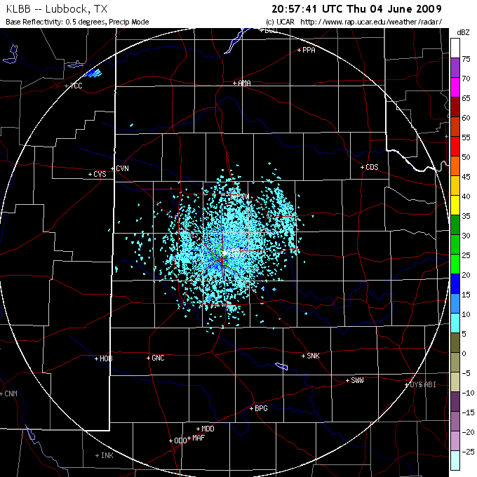
Showers and thunderstorms that developed across the northwest Texas Panhandle and northeast New Mexico Thursday afternoon (4 June) congealed into a small complex and plunged south-southeastward over much of the South Plains during the evening hours. As the thunderstorms rolled southward they generated widespread gusty winds in addition to localized heavy rainfall and hail. Many locations on the Caprock were subject to wind gusts in the 40 to 55 mph range as the storms moved through, with the most intense portions of the storms producing some localized gusts in excess of 60 to 70 mph, along with near zero visibility in blowing dust. Additionally, quarter-sized hail was observed near Bovina and Muleshoe. For a more complete list of the preliminary storm reports for this event CLICK HERE. The activity eventually diminished in coverage and intensity by early Friday morning. |
US Dept of Commerce
National Oceanic and Atmospheric Administration
National Weather Service
Lubbock, TX
2579 S. Loop 289
Suite 100
Lubbock, TX 79423-1400
806-745-4260
Comments? Questions? Please Contact Us.

