
Numerous severe thunderstorms are expected across a broad region from the Ohio Valley to the Mid-Atlantic and Northeast States today into tonight. Swaths of damaging wind gusts are expected and some tornadoes are possible. Bertha is expected to bring tropical storm conditions to portions of the Gulf Coast from the Florida Panhandle westward to southeastern Louisiana later today and Wednesday. Read More >
|
National Weather Service Lubbock Significant Weather Events
July 5-7, 2016: Severe weather and Oppressive Heat
|
|||||||||||||||||||||
|
|||||||||||||||||||||
|
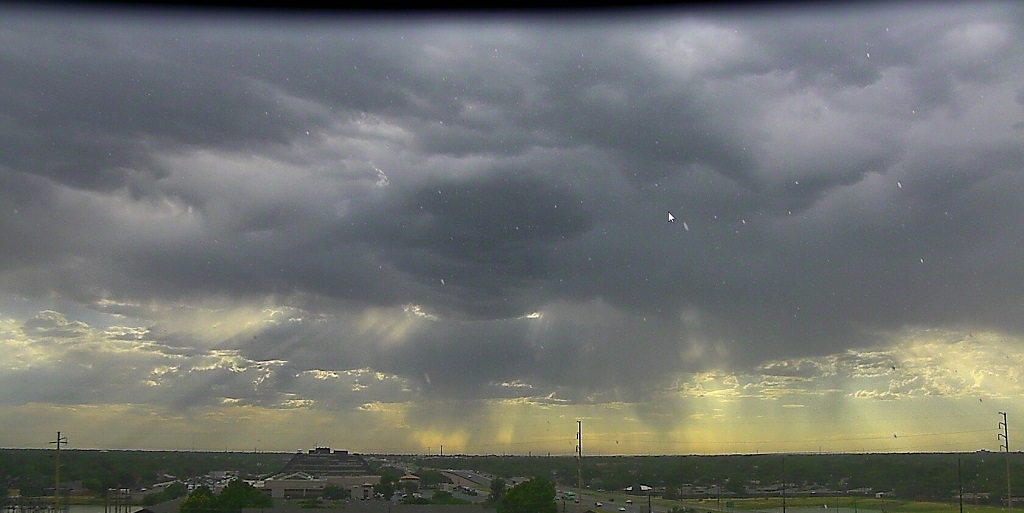
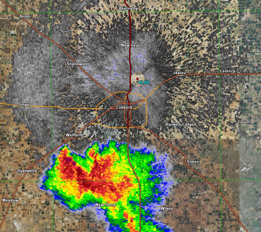
Lubbock was hit with back to back severe storms on Tuesday and Wednesday. On Tuesday, large hail up to the size of quarters fell across the south side of town. A different storm produced golf ball-sized hail near the town of Spade in Lamb County. On Wednesday, severe wind gusts were reported across much of Lubbock, including up at the airport. The winds knocked down power lines and caused power outages across the city. Later that evening, a different storm developed across the far southern Texas Panhandle. This storm took aim at Childress, and produced 75 to 85 mph wind gusts around 8:30 pm. This caused widespread wind damage across town. This first radar image below is of the severe hail-producing storm approaching Lubbock from the southwest late Tuesday afternoon. |
|||||||||||||||||||||
|
|||||||||||||||||||||
|
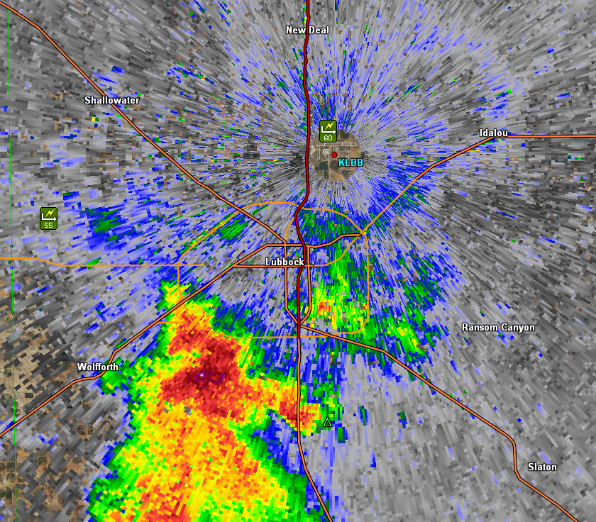
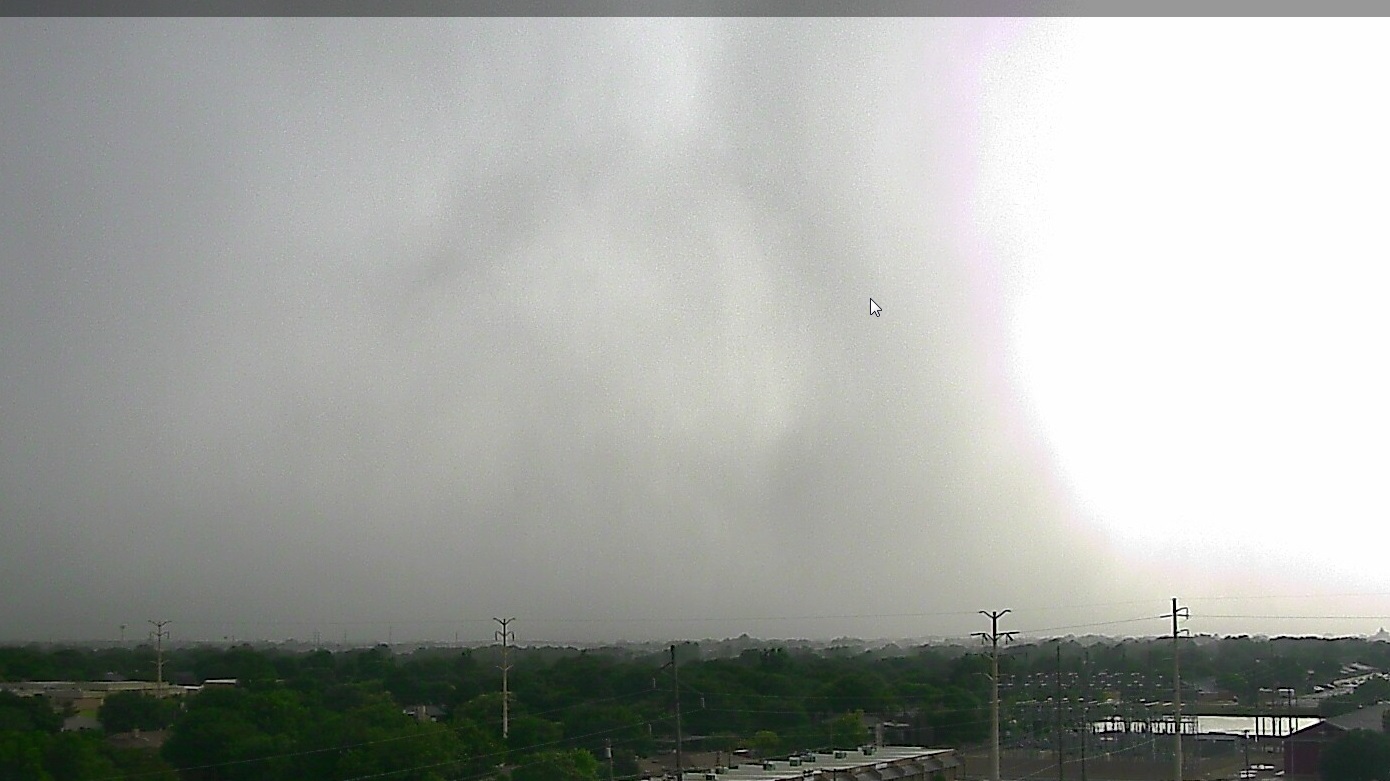
This next radar image is from the storm with severe wind gusts moving across Lubbock on Wednesday: |
|||||||||||||||||||||
|
|||||||||||||||||||||
|
|
|||||||||||||||||||||
|
|||||||||||||||||||||
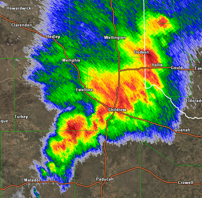
The radar image below shows the severe thunderstorm moving across the Childress area Wednesday evening: |
|||||||||||||||||||||
|
|||||||||||||||||||||
Here is an example of the wind damage in Childress. The severe gusts up to 85 mph blew over awnings at several gas stations, knocked over several billboards and a brick wall. Numerous trees and powerlines were blown down, causing widespread power outages. |
|||||||||||||||||||||

|
|||||||||||||||||||||
Part II: Extreme Heat! |
|||||||||||||||||||||
|
The heat began on the 4th of July holiday weekend as a ridge of high pressure aloft built over New Mexico, Texas and the southern plains. Despite scattered shower and t-storm activity almost every evening, the heat built up across the area and peaked up on the Caprock Thursday the 7th. Here's a table of Lubbock's temperatures through the period. Records either tied or broken have an asterisk. This is the hottest ever July 2 through July 7 in Lubbock's climate record. Lubbock's average temperatures for the period are approx. 93 for the high and 67 for the low.
|
|||||||||||||||||||||
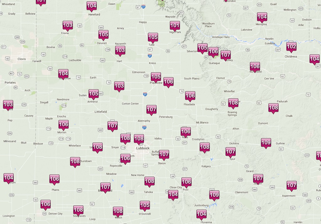
High temperatures across the area on Thursday, July 7th: |
|||||||||||||||||||||
|
|||||||||||||||||||||
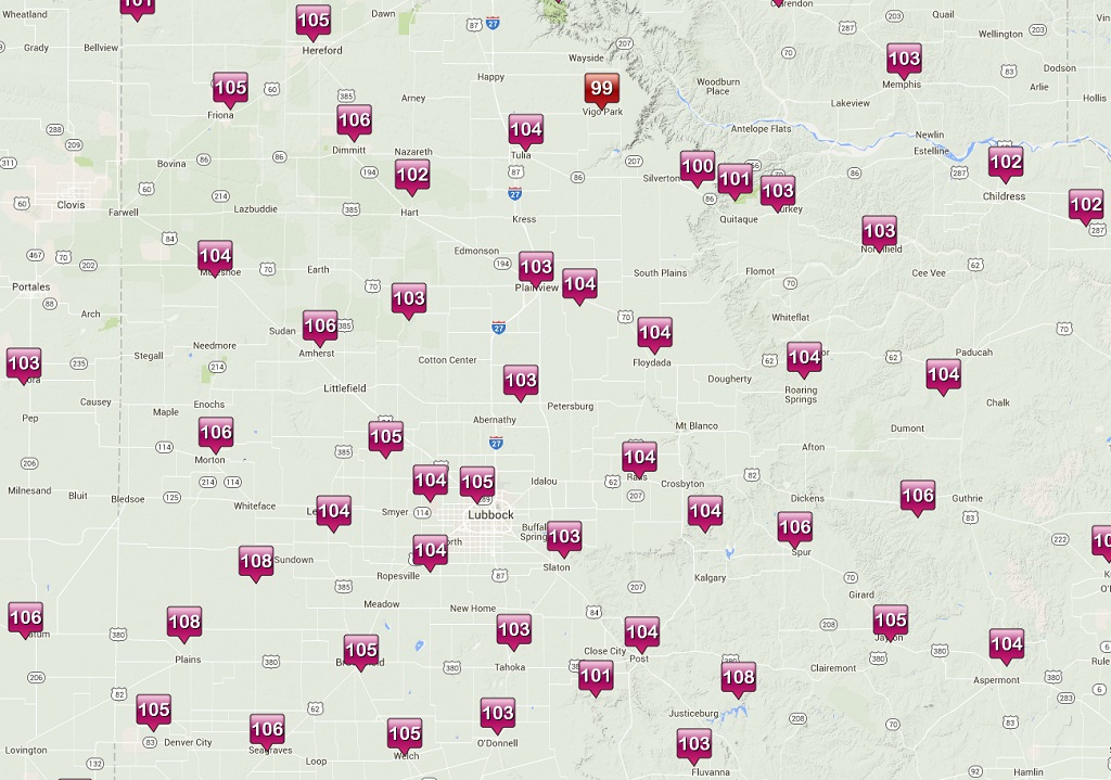
High temperatures across the area on Wednesday, July 6th: |
|||||||||||||||||||||
|

