
Widespread life-threatening flash and urban flooding will continue to pose a significant threat to life and property in south-central Texas. Catastrophic fiver flooding, with rapid rises on small streams, arroyos, and typically dry washes, is expected. Monsoonal showers persist across the Great Basin and Southwest with greatest flash flooding in southern Arizona. Read More >
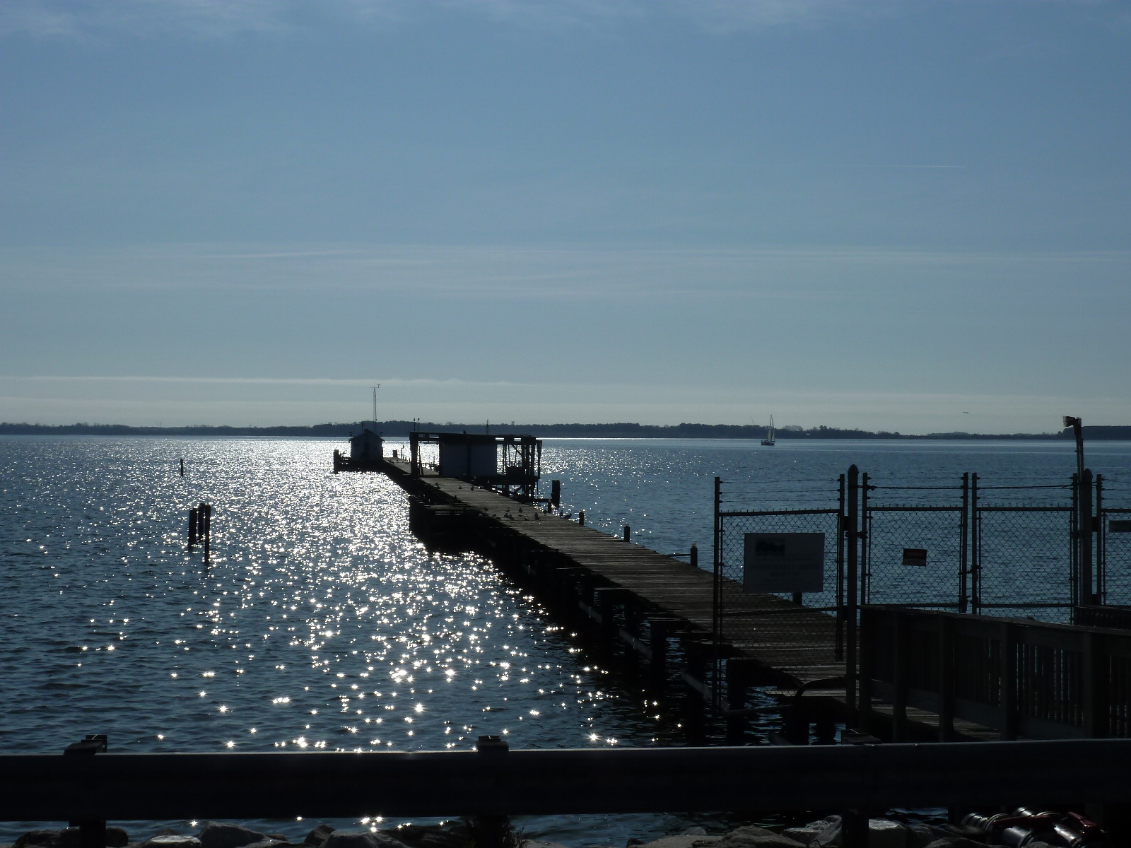
A picturesque look at the pier at the tip of Solomons Island, Maryland. The tide level in this area has been measured since 1937 and at this particular site since 1990. (NWS File Photo)
On May 15th, 2018, the defined minor flood level changed at tide gauges covering Anne Arundel, Calvert, and Saint Mary's counties in Maryland. For reference, the National Weather Service defines minor flooding as "minimal or no property damage, but possibly some public threat (e.g., inundation of roads)". After analysis and discussion with local officials, it has been determined that while water may be observed on land at the current minor flood levels, no public threat occurs. As a result, the minor flood level is being raised by a few inches at these locations to a level more likely to cause an impact/inconvenience to people. The change also ensures that issuance of a Coastal Flood Advisory occurs with a reasonably consistent impact at each sensitive location throughout the Baltimore/Washington area of responsibility.
The table below outlines the changes:
| Location | Current Minor Level | New Minor Level |
| Annapolis, MD (APAM2) | 2.4 ft MLLW | 2.6 ft MLLW |
| North Beach, MD (NBCM2) | 2.75 ft MLLW | 3.0 ft MLLW |
| Solomons Island, MD (SLIM2) | 2.75 ft MLLW | 3.0 ft MLLW |
| Straits Point, MD (SGSM2) | 2.7 ft MLLW | 3.0 ft MLLW |
For questions about these changes, please use the contact us link at the very bottom of this page.


 Coastal Flood
 FAQ
FAQ