Milwaukee/Sullivan, WI
Weather Forecast Office
Here are the latest radar animations:
| Regional Radar - West View | Regional Radar - East View | Local Radar |
 |
 |
 |
A Winter Weather Advisory is in effect for most of southern WI through 6 AM Saturday for light ice accumulation due to freezing drizzle and then light snow overnight.
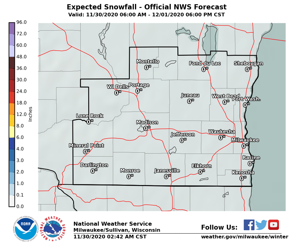
Areas in south central Wisconsin will continue to see periods of freezing drizzle through the evening. Freezing drizzle will become more widespread this evening. Up to 0.15" of light ice accumulation is possible. Precipitation will change to snow from west to east beginning late this evening. Snowfall accumulation of 1 to 2 inches is expected by Saturday morning. The higher totals will near near Mineral Point, Montello, and Wisconsin Dells with lower totals in the far SE. Gusty winds and falling snow will create reduced visibility. Snow will cause slippery roads during this period.
Here are the Probabilistic Snowfall Experiment forecasts for southern Wisconsin.
Here are the latest Wisconsin road conditions from the Wisconsin DOT.
Click here to submit your snow or ice report.
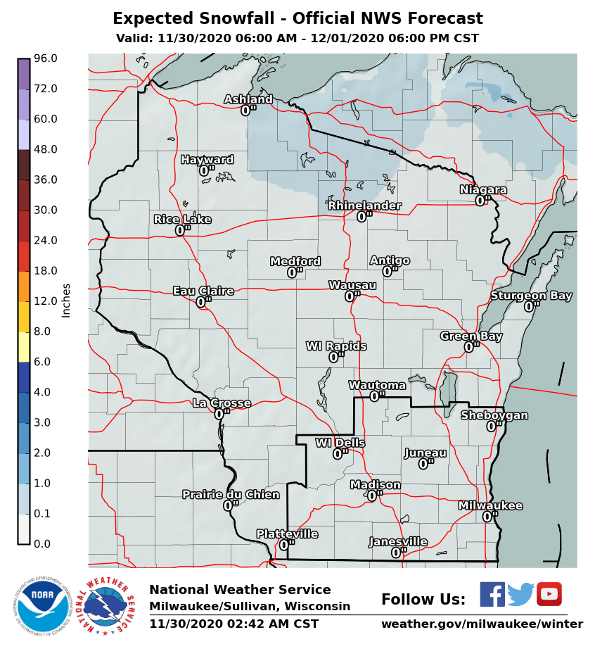
Additional snowfall and ice accumulations across the area, and all of Wisconsin, through Saturday:
| Snowfall - Southern Wisconsin |
Ice Accumulation - Southern Wisconsin |
 |
 |
| Snowfall - All of Wisconsin |
Ice Accumulation - All of Wisconsin |
 |
 |
Here are the latest watches, warnings and advisories in effect across the region:

Wood/SPM
NWS Milwaukee/Sullivan, WI
Hazards
National Briefing
Hazardous Weather Outlook
Skywarn
View Local Storm Reports
Submit A Storm Report
Winter Weather
Summer Weather
Beach Hazards
Local Forecasts
Marine
Aviation
Fire
Local Text Products
Local Precip Forecast
Hourly Forecast Graphics
Forecast Discussion
Climate
Historic Events For Srn WI
Lightning Plot Archive
Daily Climate Graphics
Local Climate Products
Normals/Records MKE/MSN
CoCoRaHS
US Dept of Commerce
National Oceanic and Atmospheric Administration
National Weather Service
Milwaukee/Sullivan, WI
N3533 Hardscrabble Road
Dousman, WI 53118
262-965-2074
Comments? Questions? Please Contact Us.

