Milwaukee/Sullivan, WI
Weather Forecast Office
Here are some links:
Submit a Snowfall Report
Local Storm Report Text
Hazardous Weather Outlook
Hourly Weather roundup
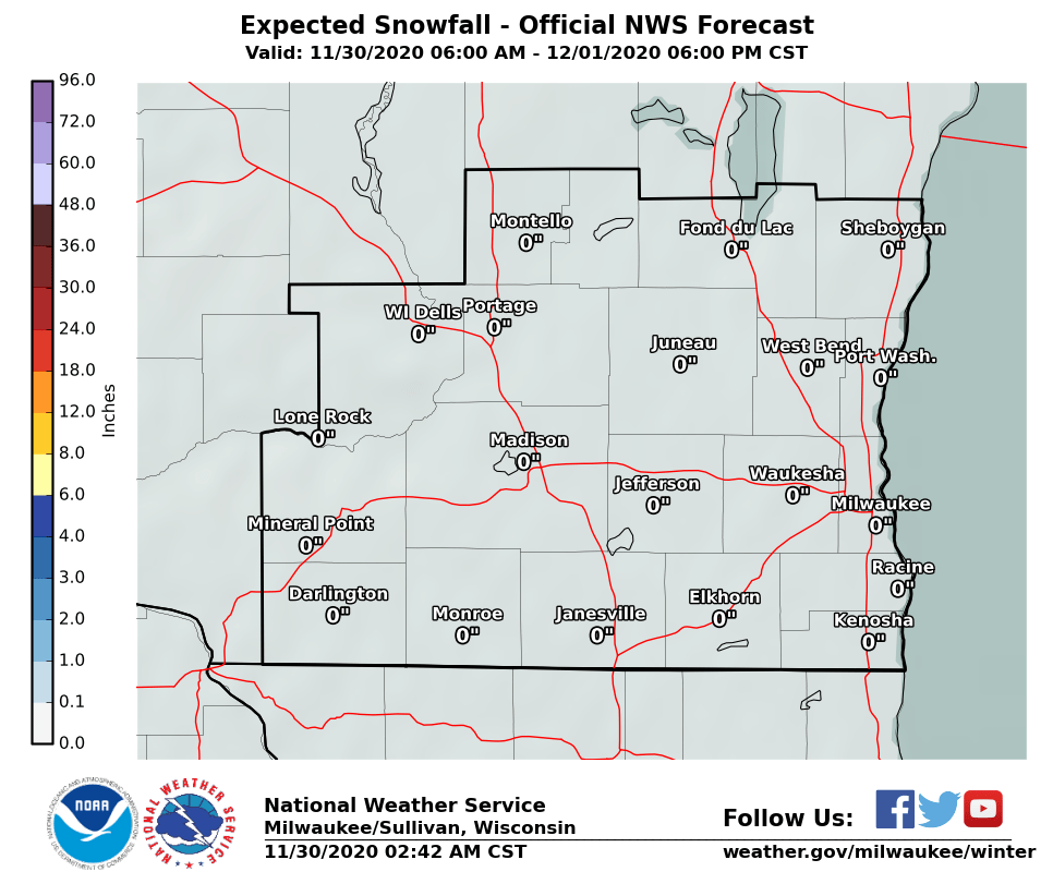
Accumulating Snow Continues Into Tonight
A trough of low pressure, tracking east southeast through northern Illinois, will continue to bring accumulating snow to southern Wisconsin into tonight. A band of light to moderate snow will continue to pivot eastward across the area until early this evening. This band should bring a quick inch to most areas. Another weak trough of low pressure and warmer air moving into the area will keep mainly light snow going this evening. The light snow should taper off from west to east later this evening and overnight.
Total snow accumulations of 1 to 3 inches are expected, with the greatest amounts generally southwest of Madison. A Winter Weather Advisory remains in effect for southwest portions of the forecast area, including the Madison metro area. A little blowing and drifting of the snow is possible, given the dry, powdery nature of the snow. Travel impacts include snow covered and slippery roads, and reduced visibilities in any moderate snow bands. There have been reports of some vehicle accidents on area roads, so please drive slowly if driving into tonight.
Here are the Watches/Warnings/Advisories in effect:

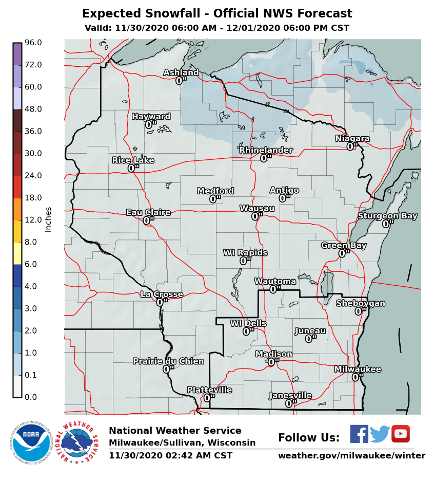
Snowfall Forecast: (Get more details here)
 |
 |
Regional Radar Imagery:
 |
 |
Local Radar Imagery:

Road Conditions:
 |
SPM/Wood
NWS Milwaukee/Sullivan, WI
Hazards
National Briefing
Hazardous Weather Outlook
Skywarn
View Local Storm Reports
Submit A Storm Report
Winter Weather
Summer Weather
Beach Hazards
Local Forecasts
Marine
Aviation
Fire
Local Text Products
Local Precip Forecast
Hourly Forecast Graphics
Forecast Discussion
Climate
Historic Events For Srn WI
Lightning Plot Archive
Daily Climate Graphics
Local Climate Products
Normals/Records MKE/MSN
CoCoRaHS
US Dept of Commerce
National Oceanic and Atmospheric Administration
National Weather Service
Milwaukee/Sullivan, WI
N3533 Hardscrabble Road
Dousman, WI 53118
262-965-2074
Comments? Questions? Please Contact Us.

