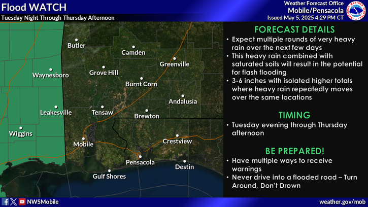
A Flood Watch is in effect over southeast Mississippi from Tuesday evening through Thursday afternoon. Multiple rounds of heavy rainfall is expected over the next few days. Rainfall amounts of 3- 6 inches are expected, with locally higher amounts possible. This heavy rain, combined with already saturated soils from previous rainfall will result in the potential for flash flooding. For more information, visit our social media pages at facebook and x pages or listen to a noaa weather radio. Stay weather aware!


 Local Radar
 Weather Map
 Satellite Imagery
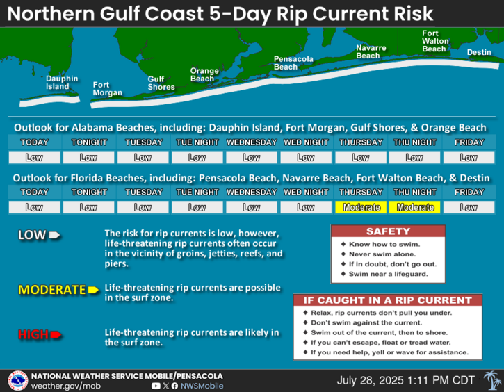
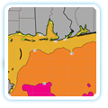
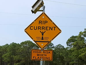 Beach and Surf
 Local Forecast Maps
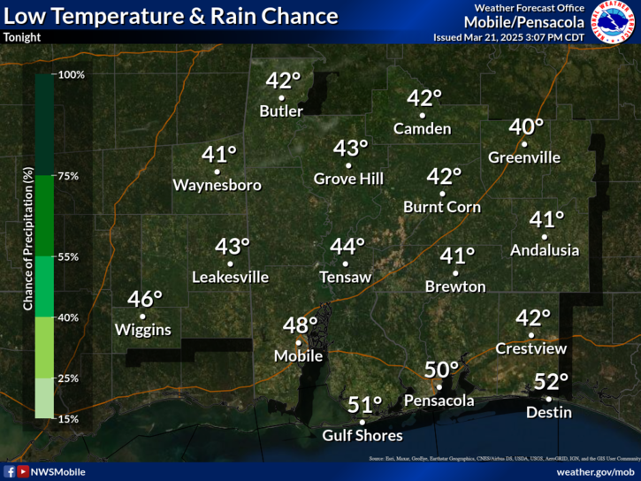
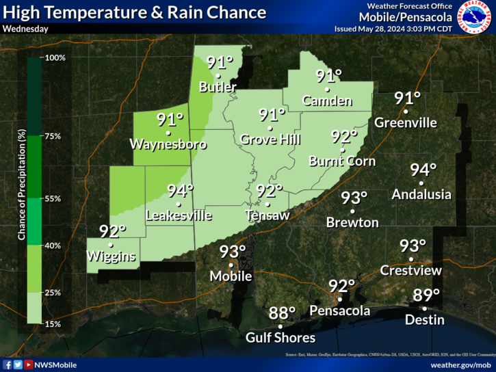