National Weather Service United States Department of Commerce

Flooding and Rip Current Concerns from Chantal; Lingering Flood Watches in Central Texas

Chantal is now a Tropical Depression. Flash flood concerns continue across portions of central North Carolina into Monday. Life-threatening surf and rip currents conditions are expected to continue at beaches along the U.S. East Coast from northeastern Florida to the Mid-Atlantic states during the next day or so. Flood Watches and recovery continue across central Texas. Read More >

Click a location below for detailed forecast.

Last Map Update: Mon, Jul 7, 2025 at 2:48:16 am EDT
 

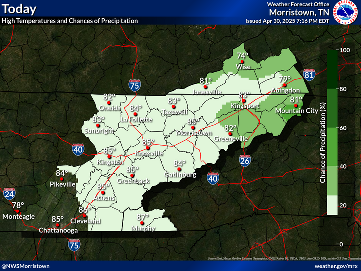
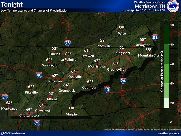
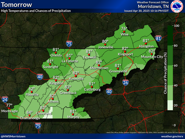
Enjoy the dry weather while you can, because higher chances for showers and storms are on the way. It will also remain hot with increasing humidity.
Today marks a transition to a more active pattern. Temperatures will remain near seasonal levels through the week but afternoon and evening rain chances will be on gradual increase beginning today. Some scattered storms, mainly over the plateau and mountains, will exist later today but the afternoons and evenings from Wednesday onward will feature more widespread storms.
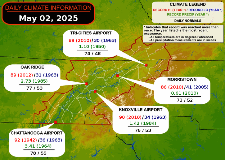
Daily climate data (normals and records) for today for the sites plotted. The current normals period is 1991-2020.

 Current Weather Observations...
Location Time
(EDT)
Weather Vsby.
(SM)
Temp.
(ºF)
Dewpt.
(ºF)
Hum.
(%)
Wind
(mph)
Wind Chill / Heat Index
(ºF)
Pres.
(in)
Abingdon VA02:15Clear10686282E 2-30.07
Andrews-Murphy NC02:25Partly Cloudy10686590CALM-30.10
Chattanooga TN01:53Clear10767081CALM-30.03
Crossville TN01:53Clear10716993CALM-30.08
Dalton GA02:15Clear107373100CALM-30.01
Knoxville TN (McGhee-Tyson)01:53Mostly Clear10786973SSW 9-30.02
Middlesboro KY02:15Clear10736987CALM-30.04
Monroe Cnty TN02:15Overcast107171100CALM-30.03
Morristown TN10:30VRB 5-30.10
Oak Ridge TN01:53Clear10777284CALM-30.03
Tazewell Cnty VA02:35Clear10686077SSE 3-30.10
Tri-Cities TN01:53Clear10696896CALM-30.04
Wise VA02:15Clear10646293SW 3-30.11
Greeneville, TN02:15Clear10736678CALM-30.04


Local Weather History For July 7th...
In 2013, storm dumped heavy rain, with flooded roads across Hamilton, Bledsoe and Rhea Co.


Briefing Hydrology Past Weather Events Graphical Hazardous Weather Outlook for East Tennessee East Tennessee Observations
Decision Support Hydrology Past Weather Events GHWO Observations Gridded Forecast
Daily Climate for Middle Tennessee Local East Tennessee Climate Tornado Database Tropical Weather Information NOAA Weather Radio
IDSS Point Forecasts Daily Climate Local Climate Tornado Database Tropical Weather Radio
Daily Climate for Middle Tennessee Probabilistic Data for East Tennessee Virtual Tour of the NWS Morristown Office Skywarn Spotter Training for East Tennessee  
Being Prepared Estar Perparado Probabilistic Virtual Tour Spotter Training