National Weather Service United States Department of Commerce

Widespread Showers in the Eastern US; Severe Thunderstorms in the Plains; Heatwave in the Desert Southwest

Widespread showers and thunderstorms across much of the central and eastern U.S. will produce areas of excessive rainfall, especially in the southern Mid-Atlantic states. Scattered severe thunderstorms are expected from Montana into portions of the central/southern Plains this weekend. A heatwave will build in the Desert Southwest, in parts of Arizona, southeastern California, and southern Nevada. Read More >

Click a location below for detailed forecast.

Last Map Update: Sun, Jun 15, 2025 at 7:34:41 am EDT


Scattered to numerous showers and storms are expected over the next several days. The greatest coverage each day will be during the afternoon through early evening hours. While severe weather isn't expected, each day will feature the potential for a few strong storms capable of producing strong and gusty winds, heavy rainfall, and isolated flooding.
Scattered showers and storms are expected again this afternoon into the evening hours. Better coverage of showers and storms are likely each day during the first half of the week. Some storms could produce strong winds and isolated flooding from heavy downpours. Warm and humid conditions will also continue with highs reaching well into the 80s for most places.

 Current Weather Observations...
Location Time
(EDT)
Weather Vsby.
(SM)
Temp.
(ºF)
Dewpt.
(ºF)
Hum.
(%)
Wind
(mph)
Wind Chill / Heat Index
(ºF)
Pres.
(in)
Abingdon VA07:15Overcast10686693WSW 3-30.10
Andrews-Murphy NC07:07Rain7676695CALM-30.14
Chattanooga TN06:53Mostly Cloudy10716890S 6-30.08
Crossville TN06:53Overcast106868100CALM-30.09
Dalton GA07:15Overcast96969100SSE 3-30.09
Knoxville TN (McGhee-Tyson)06:53Overcast10716684SW 13-30.05
Middlesboro KY07:15Overcast10706894CALM-30.07
Monroe Cnty TN06:55Overcast106969100SW 7-30.07
Morristown TN11:4510696894NNE 6-30.19
Oak Ridge TN06:53Overcast8696896CALM-30.07
Tazewell Cnty VA07:15Overcast10666491W 3-30.13
Tri-Cities TN06:53Overcast10696896CALM-30.08
Wise VA07:15Overcast106464100W 8-30.12
Greeneville, TN06:55Overcast10696894CALM-30.07


Local Weather History For June 15th...
Storms hit area in 2011, producing $130,000 wind damage and hen-egg sized hail.


Briefing Hydrology Past Weather Events Graphical Hazardous Weather Outlook for East Tennessee East Tennessee Observations
Decision Support Hydrology Past Weather Events GHWO Observations Gridded Forecast
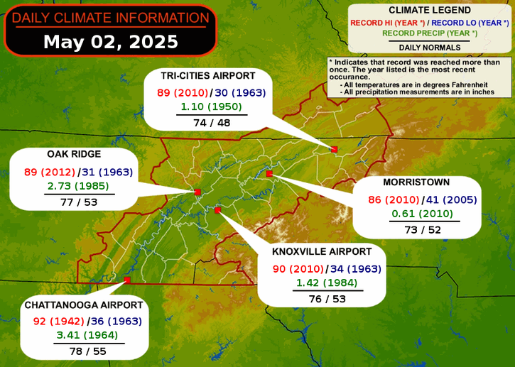
Daily Climate for Middle Tennessee Local East Tennessee Climate Tornado Database Tropical Weather Information NOAA Weather Radio
IDSS Point Forecasts Daily Climate Local Climate Tornado Database Tropical Weather Radio
Daily Climate for Middle Tennessee Probabilistic Data for East Tennessee Virtual Tour of the NWS Morristown Office Skywarn Spotter Training for East Tennessee  
Being Prepared Estar Perparado Probabilistic Virtual Tour Spotter Training