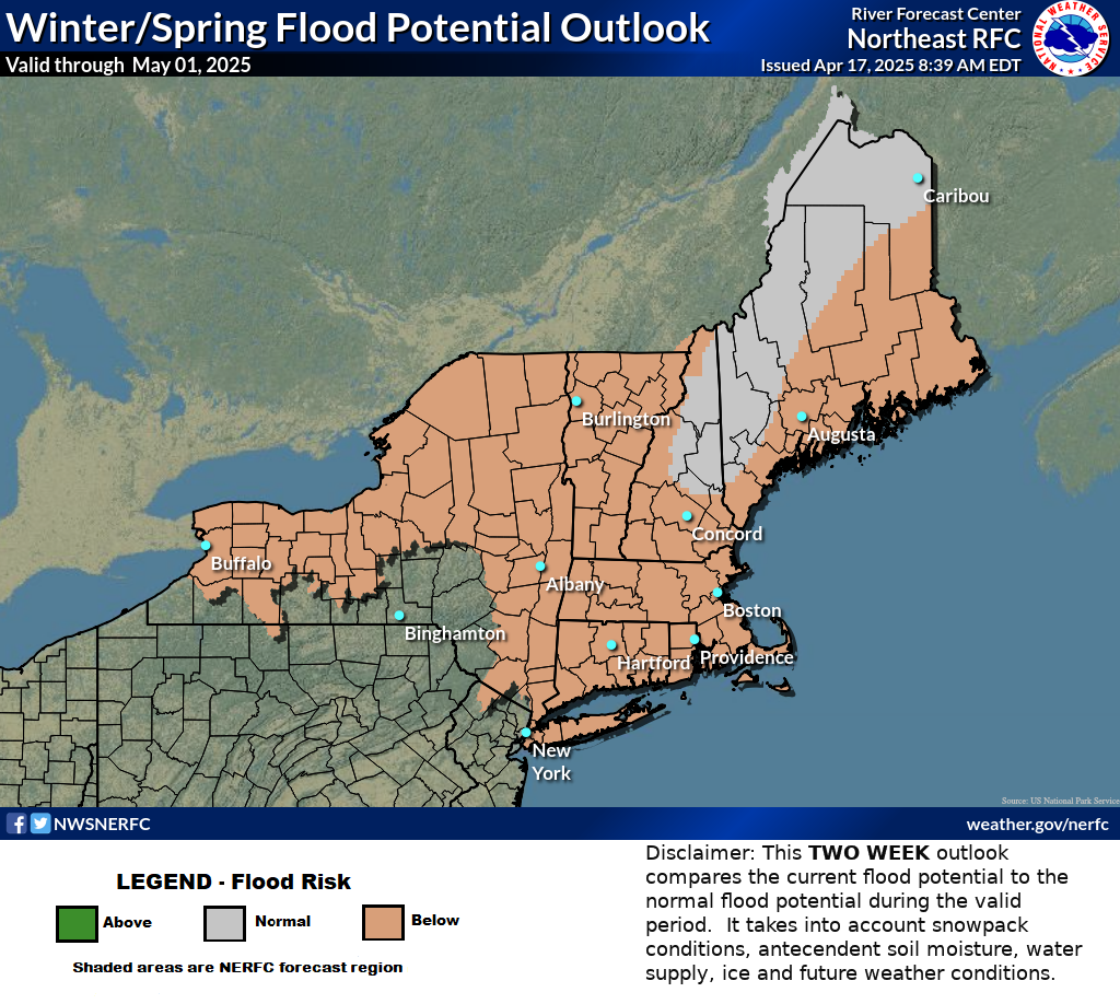
Scattered severe thunderstorms are forecast across central and eastern North Dakota, as well as far northwest Minnesota Saturday (Slight Risk level 2 of 5). Damaging wind gusts are the primary threat. Elevated to critical fire weather conditions will persist through the weekend across the Western U.S. Isolated dry thunderstorms could lead to new fire starts over portions of the northern Rockies. Read More >
Northeast RFC
River Forecast Center
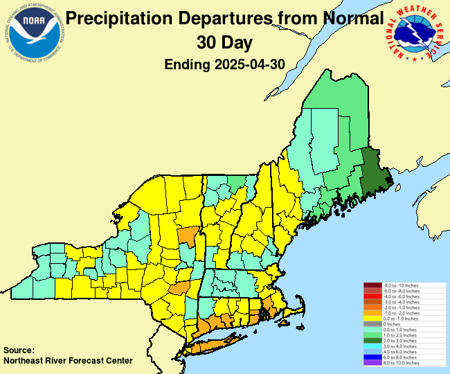
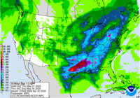
Observed Precipitation
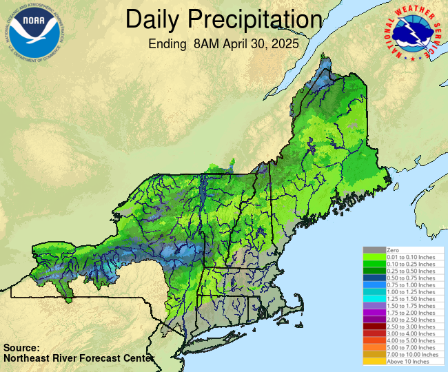
Forecast Precipitation 3 Hour Flash Flood Guidance Flood Potential Outlook Precipitation and Departures from Normal Spring Flood Outlook Snow Water Equivalent |
River Conditions Click here to link to AHPS page.
|
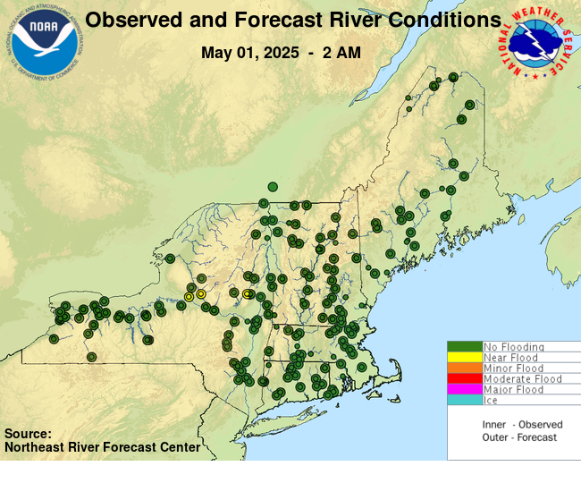
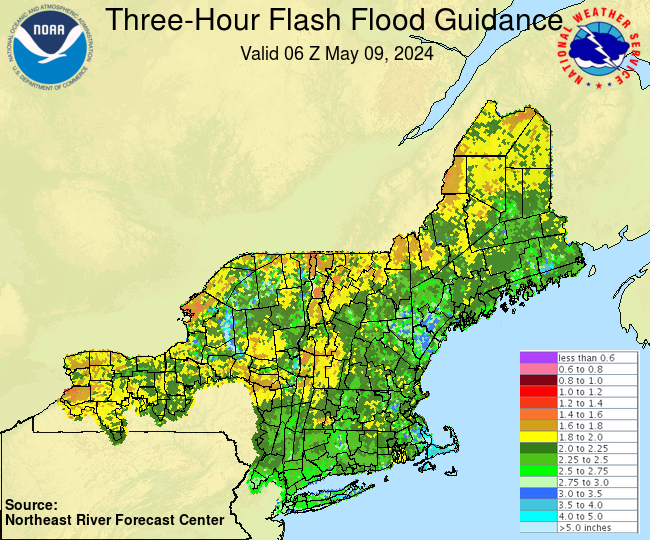
Eastern Region Hazards
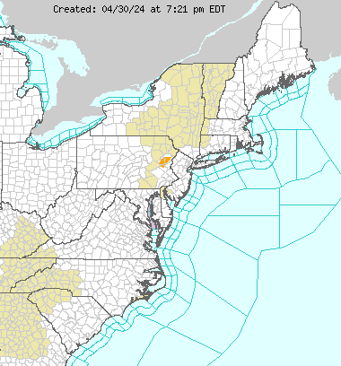
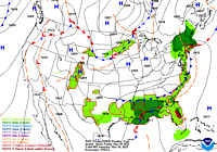
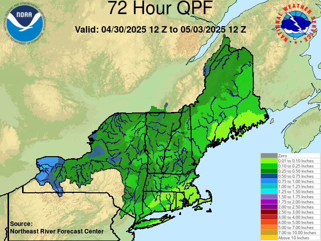
USGS WaterWatch Short Range Forecast Satellite Images WPC 1-3 Day QPF Excessive Rainfall Forecast Drought Monitor |
US Dept of Commerce
National Oceanic and Atmospheric Administration
National Weather Service
Northeast RFC
46 Commerce Way
Norton, MA 02766
(508) 622-3300
Comments? Questions? Please Contact Us.