Spokane, WA
Weather Forecast Office
Weather and Outlook for North Cascades National Park
Local Rain and Weather Plots
Weather and Hazard Viewer for the Stehekin area
Individual sites:
Stehekin Airstrip (1230 ft) Purple Pass (6902 ft) Hazard Creek (4009 ft) Triathlon at Moore Mtn (7158 ft)
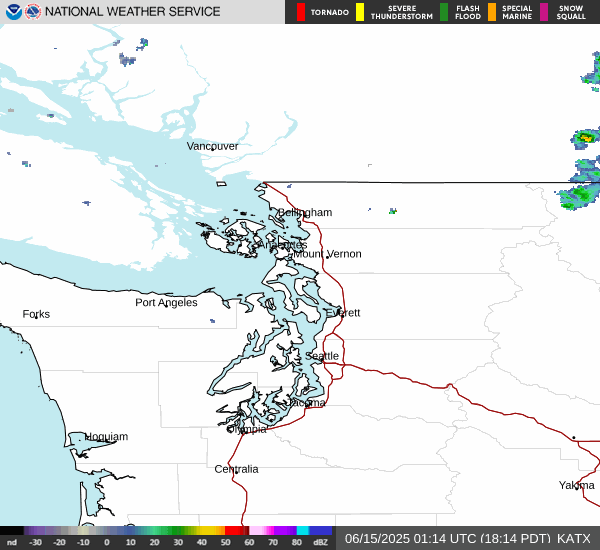
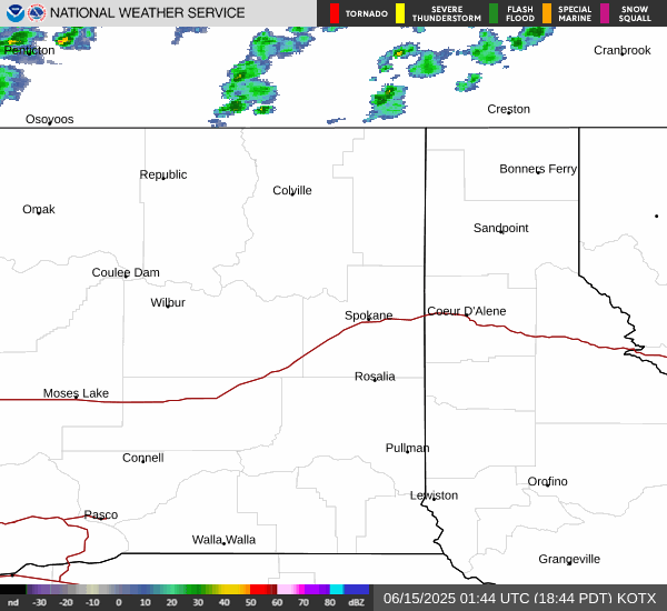
Current Radar
Seattle Radar (ATX) Spokane Radar (OTX)
Local Weather Forecasts
Weather Threat Matrix for Stehekin and northern Lake Chelan
Current Observations and 7-Day Forecast for Stehekin
Hourly Weather Forecast Graph for Stehekin
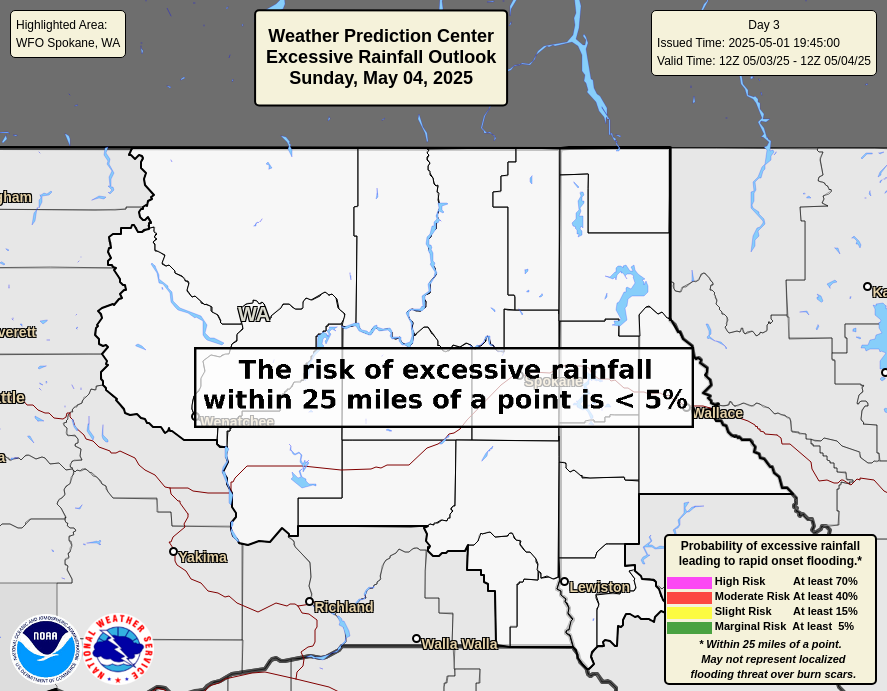
Excessive Rainfall Outlooks - Weather Prediction Center
Day 1 Day 2


Day 3 Day 4

Day 5 Stehekin River Forecast


6-10 Day Outlook - Climate Prediction Center


US Dept of Commerce
National Oceanic and Atmospheric Administration
National Weather Service
Spokane, WA
2601 N Rambo Rd.
Spokane, WA 99224
509-244-0110
Comments? Questions? Please Contact Us.

