
Tropical system in the Gulf expected to gradually strengthen the next couple of days off the Florida Panhandle and Alabama coasts. Instances of flash flooding will be possible through Thursday along the eastern and central Gulf Coast. Severe thunderstorms will develop and move along a cold front crossing the Upper Midwest, and through the Ohio Valley/Mid-Atlantic on Tuesday. Read More >
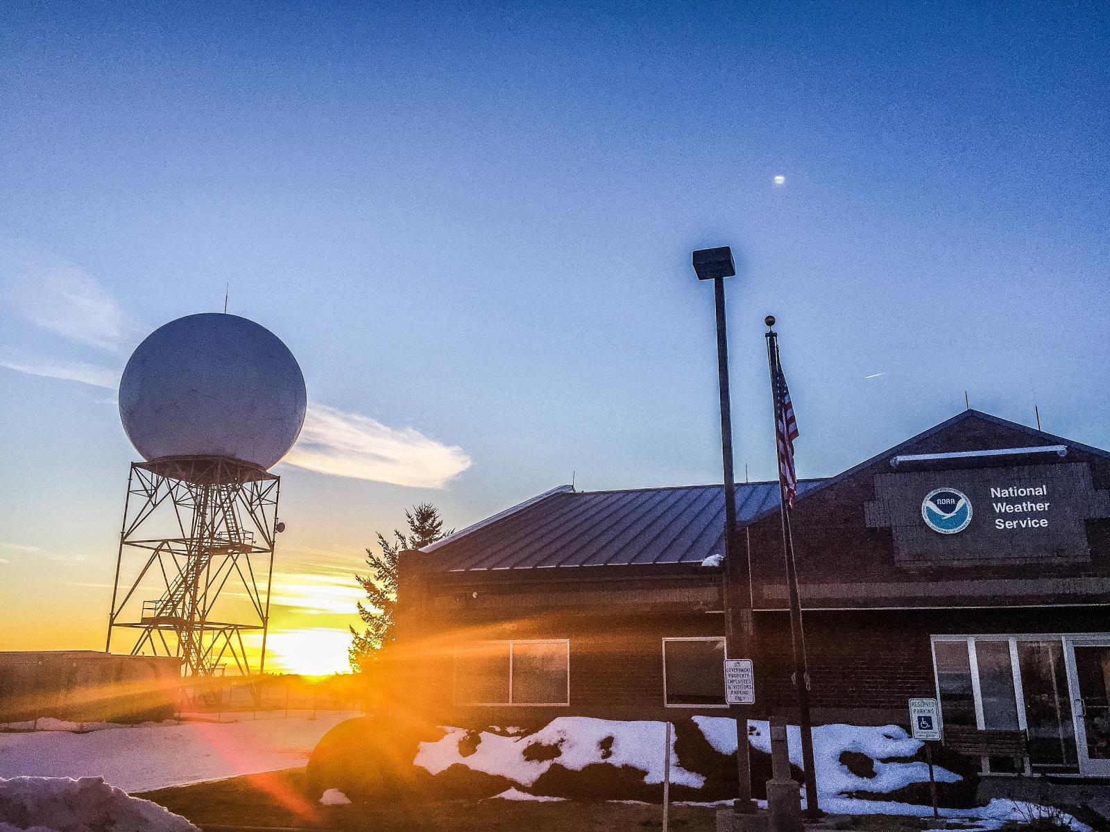
Spokane, WA
Weather Forecast Office
The Staff of the National Weather Service office in Spokane
US Dept of Commerce
National Oceanic and Atmospheric Administration
National Weather Service
Spokane, WA
2601 N Rambo Rd.
Spokane, WA 99224
509-244-0110
Comments? Questions? Please Contact Us.

