
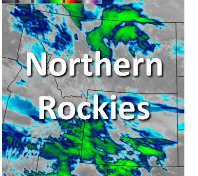
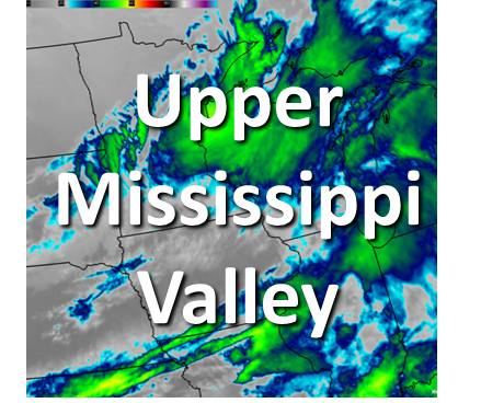
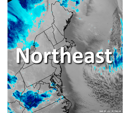
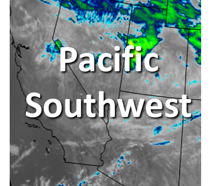
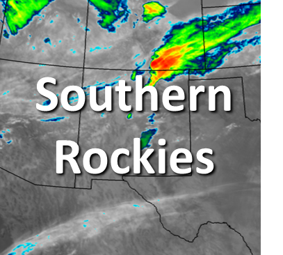
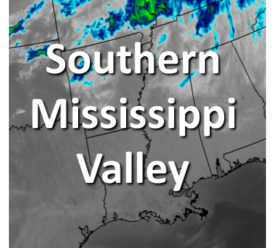
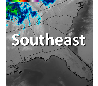
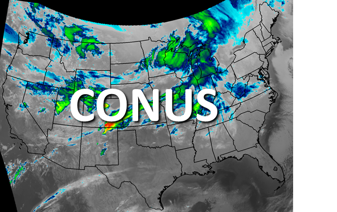
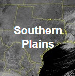
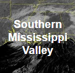
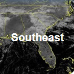
Severe thunderstorms, with a significant wind threat, will continue through tonight across the northern Plains. Wind gusts of 60 to 100 mph are possible. Heavy rainfall will continue through tonight from Oklahoma into Missouri, and in the Tennessee Valley through Monday. Critical fire weather conditions continue in the Southwest through Tuesday. Read More >

.png)
| GeoColor Channel | Pacific Northwest View | CONUS View | Full Disk View | |
 |
 |
 |
||
| GeoColor | Loop | Latest Image | Loop | Latest Image | Loop | Latest Image | |
| Visible Channels | Pacific Northwest View | CONUS View | Full Disk View | |
 |
 |
 |
||
| Visible Blue 0.47 μm (Band 1) | Loop | Latest Image | Loop | Latest Image | Loop | Latest Image | |
| Visible Red 0.64 μm (Band 2) | Loop | Latest Image | Loop | Latest Image | Loop | Latest Image | |
| Near Infrared (NIR) Channels | Pacific Northwest View | CONUS View | Full Disk View | |
 |
 |
 |
||
| Veggie NIR Channel 0.86 μm (Band 3) | Loop | Latest Image | Loop | Latest Image | Loop | Latest Image | |
| Cirrus NIR Channel 1.37 μm (Band 4) | Loop | Latest Image | Loop | Latest Image | Loop | Latest Image | |
| Snow/Ice NIR Channel 1.6 μm (Band 5) | Loop | Latest Image | Loop | Latest Image | ||
| Cloud Particle NIR Channel 2.2 μm (Band 6) | Loop | Latest Image | Loop | Latest Image | Loop | Latest Image | |
| Shortwave IR and Water Vapor Channels | Pacific Northwest View | CONUS View | Full Disk View | |
 |
 |
 |
||
| Shortwave IR Channel 3.9 μm (Band 7) | Loop | Latest Image | Loop | Latest Image | Loop | Latest Image | |
| Upper Level Water Vapor Channel 6.2 μm (Band 8) | Loop | Latest Image | Loop | Latest Image | Loop | Latest Image | |
| Mid Level Water Vapor Channel 6.9 μm (Band 9) | Loop | Latest Image | Loop | Latest Image | Loop | Latest Image | |
| Lower Level Water Vapor Channel 7.3 μm (Band 10) | Loop | Latest Image | Loop | Latest Image | Loop | Latest Image | |
| Infrared (IR) Channels | Pacific Northwest View | CONUS View | Full Disk View | |
.jpg) |
 |
 |
||
| Cloud Top IR Channel 8.4 μm (Band 11) | Loop | Latest Image | Loop | Latest Image | Loop | Latest Image | |
| Ozone IR Channel 9.6 μm (Band 12) | Loop | Latest Image | Loop | Latest Image | Loop | Latest Image | |
| Clean Longwave Window 10.3 μm (Band 13) | Loop | Latest Image | Loop | Latest Image | Loop | Latest Image | |
| Legacy Longwave Window 11.2 μm (Band 14) | Loop | Latest Image | Loop | Latest Image | Loop | Latest Image | |
| Dirty Longwave IR Window 12.3 μm (Band 15) | Loop | Latest Image | Loop | Latest Image | Loop | Latest Image | |
| Carbon Dioxide Longwave IR Window 13.3 μm (Band 16) | Loop | Latest Image | Loop | Latest Image | Loop | Latest Image | |

