
Heavy rain and widely scattered severe storms capable of large hail, damaging winds, and possibly a tornado are expected over portions of the central and southern Plains into the Lower Missouri Valley. Unseasonable warmth will continue for a few more days across the Midwest and Southeast where several daily record highs could fall. Read More >
Pacific ENSO Applications Climate Services
National Division
Kona Coffee Stations |
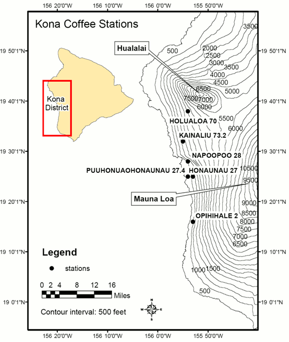 |
|
Back to study |

US Dept of Commerce
National Oceanic and Atmospheric Administration
National Weather Service
Pacific ENSO Applications Climate Services
Pacific ENSO Applications Climate Services
2525 Correa Rd. HIG room 340
Honolulu, HI 96822
8089562324
Comments? Questions? Please Contact Us.


 Follow us on Facebook
 PEAC RSS Feed