A Heat Advisory has been issued for portions of the interior lowlands of NW OR & SW WA for Tuesday through Wednesday.
Forecast for your location ➡️ http://weather.gov/portland
Heat safety tips ➡️ http://weather.gov/safety/heat
Everyone operates on auto-pilot once in a while. Caregivers should have a strategy to ensure that no one is ever forgotten in a hot car. Always be Weather-Ready. weather.gov/safety/heat-children-pets


 Forecast Discussion
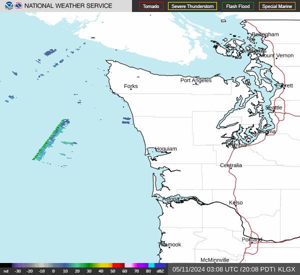 Langley Hill Radar
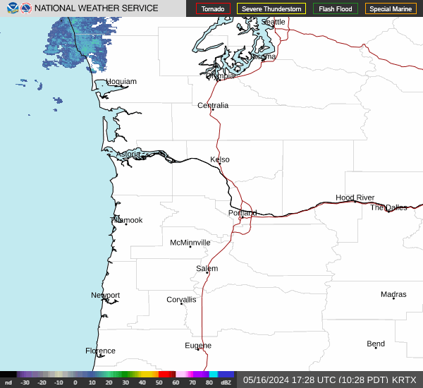 Portland Radar
  Satellite
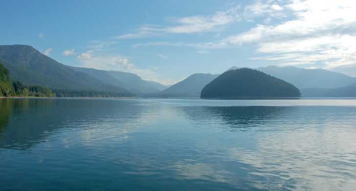 Rivers & Lakes
 Current Weather
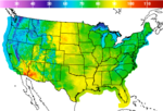 Graphical Forecasts
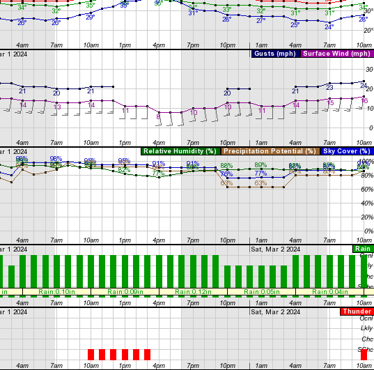 Forecast, Hourly
 Submit Storm Report
 Experimental QPF Probability
 Experimental Winter Probability
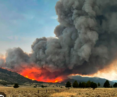 Fire Weather
 Aviation Weather
 Marine Weather
 Bar Obs & Cams
 Drought Info
 Road Conditions
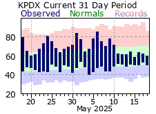 Climate Charts