
Hazardous heat will continue across the Southern Plains, Gulf Coast and Desert Southwest through the weekend. Additional heat will build into the Great Basin and Northern Plains this weekend. A stalled front is expected to bring periods of heavy to excessive rainfall and flooding from the Tennessee Valley to the Southeast U.S on Friday. Read More >
.PNG)
174
FXZS60 NSTU 240109
AFDPPG
Area Forecast Discussion
National Weather Service Pago Pago AS
209 PM SST Thu Jul 23 2026
.Short term...
Satellite imagery throughout the morning and early afternoon hours
shows a trough to the south and west of American Samoa. The trough
is weakening as expected, but not moving as far north and east to
reach the territory as anticipated. Therefore, most areas
throughout the islands did not receive rain and had a mix of sun
and clouds throughout the day.
A high pressure system to the southwest no longer is forecast to
be strong enough to bring cloudy conditions to American Samoa. The
risk of showers is reduced from numerous showers (70% chance) to a
scattered to numerous showers (50 to 60% chance) forecast for the
rest of the day and this evening. A light east/southeasterly trade
wind is anticipated during this time. If rain occurs, it is not
expected to produce flash flooding.
An equatorial ridge will likely keep most of the rain from the
trough to the west and south of American Samoa on Friday, but
closer to the region to slightly increase the risk of showers to
numerous showers (60% chance) for Saturday. Rainfall is still not
likely to cause flash flooding. Trade winds become easterly around
10 to 15 mph.
.Long term...
Easterly flow and benign weather remains on Sunday and Monday. A
ridge of high pressure to the southwest becomes more dominant from
Tuesday through late in the week. Any showers during this time
would be in the passing form. Southeasterly trade winds are
expected to increase up to around 20 mph. Temperature are
forecast to be slightly cooler than normal. Severe weather is not
anticipated during this time.
&&
.Marine...
Data from the PacIOOS buoys to the west of Tutuila and to the east
of Aunu`u shows seas around 7 feet with a southerly swell
continuing to move through the American Samoa coastal waters. This
swell is continuing to produce high surf along the southern
shores, but surf heights are on the low end of the advisory
levels. Seas are anticipated to build up to around 8 to 9 feet
during the day on Friday due to east/southeasterly winds becoming
a moderate breeze along with weak southerly swell. This will keep
advisory level conditions for high surf and small crafts through
Saturday. Seas begin to ease on Saturday night and may will likely
fall below advisory levels on Sunday and Monday with a gentle to
moderate easterly breeze. Expect seas to build once again on
Tuesday as a fresh southeasterly breeze develops.
&&
.PPG WATCHES/WARNINGS/ADVISORIES...
A High Surf Advisory remains in effect.
A Small Craft Advisory remains in effect.
&&
$$


 mPING (Ripoti mai Tala o le Tau)
 Pacific Tsunami Warning Center (PTWC)
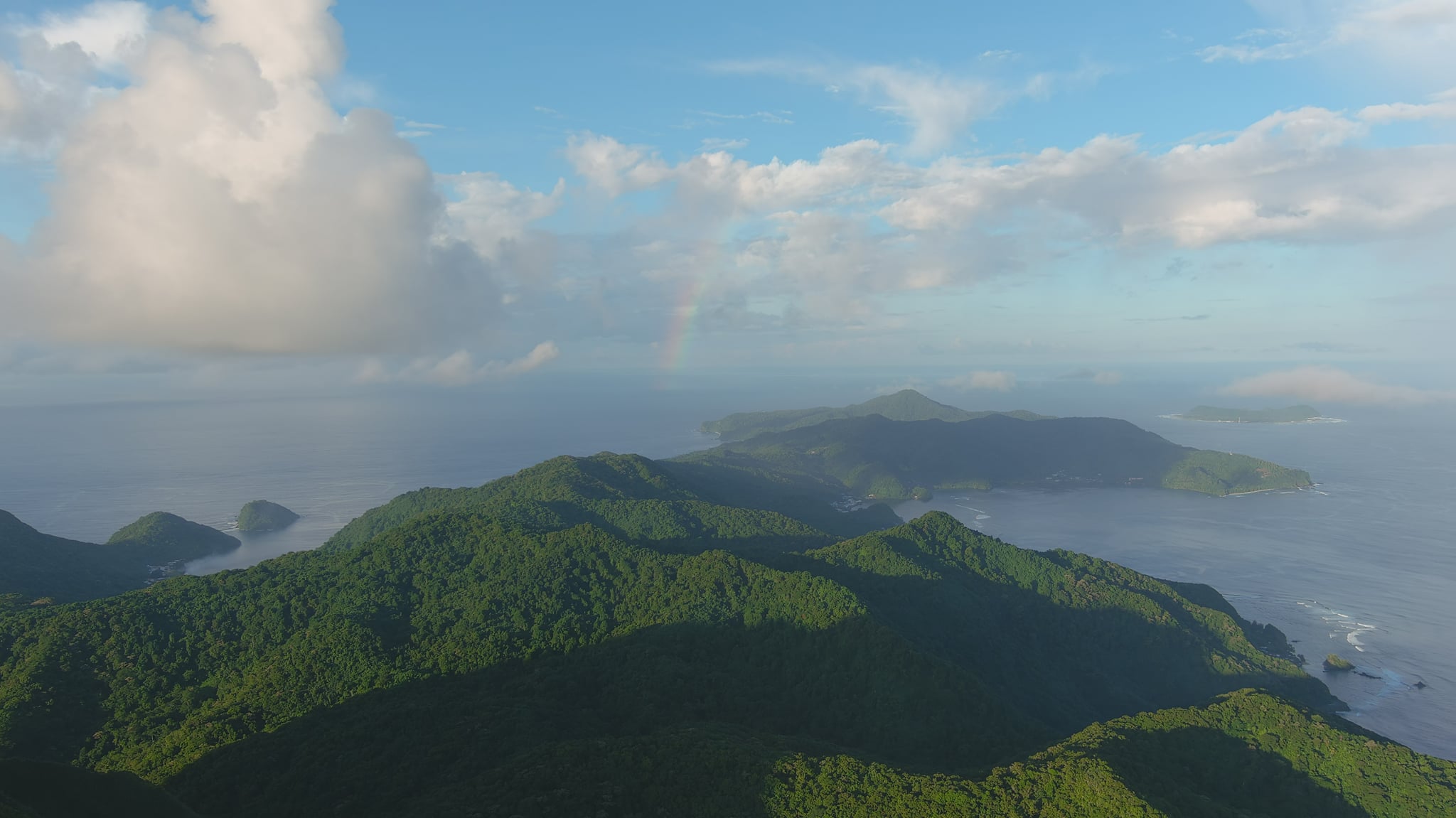 Previous 36hrs Airport Obs (Vaaiga o le Tau i le Malae Vaalele)
 Submit a Storm Report (Ripoti mai le Tau)
 Sunrise/Sunset Info (Oso/Goto le La)
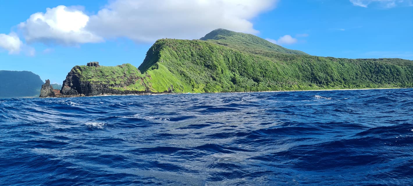 Tides Info (Tala o le Tai)