
Flash flooding threatens areas from the Tennessee Valley to the Carolinas as storms repeat along a stalled front. Monsoonal storms may trigger flooding in the Southwest. Dangerous heat expands across the Desert Southwest, Plains, mid-Mississippi Valley and Southern Tier. Critical fire weather for interior Pacific Northwest. Cooler, drier air brings brief relief to the Great Lakes and Northeast. Read More >
.PNG)
The National Weather Service issued forecasts for sky condition, temperature, wind and precipitation on a routine basis. The terminology used in these forecasts is quite variable. Listed below are descriptors of regularly used weather terms and their meanings to help give a better understanding of each forecast.
The sky condition describes the predominant/average sky cover based on percent of the sky covered by opaque (not transparent) clouds. If a high probability of precipitation (60% or greater) is expected, then the sky condition may be omitted since it is inferred from the precipitation forecast.
| Sky Condition | Opaque Cloud Coverage |
| Clear/Sunny | 1/8 or less |
| Mostly Clear/Mostly Sunny | 1/8 to 3/8 |
| Partly Cloudy/Partly Sunny | 3/8 to 5/8 |
| Mostly Cloudy | 5/8 to 7/8 |
| Cloudy | 7/8 to 8/8 |
The wind describes the prevailing direction from which the wind is blowing with speeds in miles per hour. The wind forecast is included in the first three periods of the zone forecast.
| Sustained Wind | Speed Descriptive Term |
| 0-5 mph | Light/ light and variable wind |
| 5-10 mph/ 10-15 mph/ 10-20 mph | None |
| 15-25 mph | Breezy |
| 20-30 mph | Windy |
| 30-40 mph | Very Windy |
| 40 mph or greater | Strong, dangerous, high, damaging (High Wind Warning Criteria) |
The probability of precipitation (POP), is defined as the likelihood of occurrence (expressed as a percent) of a measurable amount of liquid precipitation (or the water equivalent of frozen precipitation) during a specified period of time at any given point in the forecast area. Measurable precipitation is equal to or greater than 0.01 inches. Unless specified otherwise, the time period is normally 12 hours. NWS forecasts use such categorical terms as occasional, intermittent, or periods of to describe a precipitation event that has a high probability of occurrence (80%+), but is expected to be of an "on and off" nature.
| POP Percent | Expression of Uncertainty | Equivalent Areal Qualifier |
| 10 percent | (none used) | Isolated/ Few |
| 20 percent | Slight Chance | Widely Scattered |
| 30, 40, & 50 percent | Chance | Scattered |
| 60 & 70 percent | Likely | Numerous (or none used) |
| 80, 90, & 100 percent | (None used) | Occasional, periods of, or none used |
| Forecast Time Period | NWS Definition (LST) |
| Today | 6am-6pm |
| This Morning | 6am-noon |
| This Afternoon | Noon-6pm |
| This Evening | 6pm-midnight |
| Overnight | Midnight-6am |
| Tonight | 6pm-6am |


 mPING (Ripoti mai Tala o le Tau)
 Pacific Tsunami Warning Center (PTWC)
 Previous 36hrs Airport Obs (Vaaiga o le Tau i le Malae Vaalele)
 Submit a Storm Report (Ripoti mai le Tau)
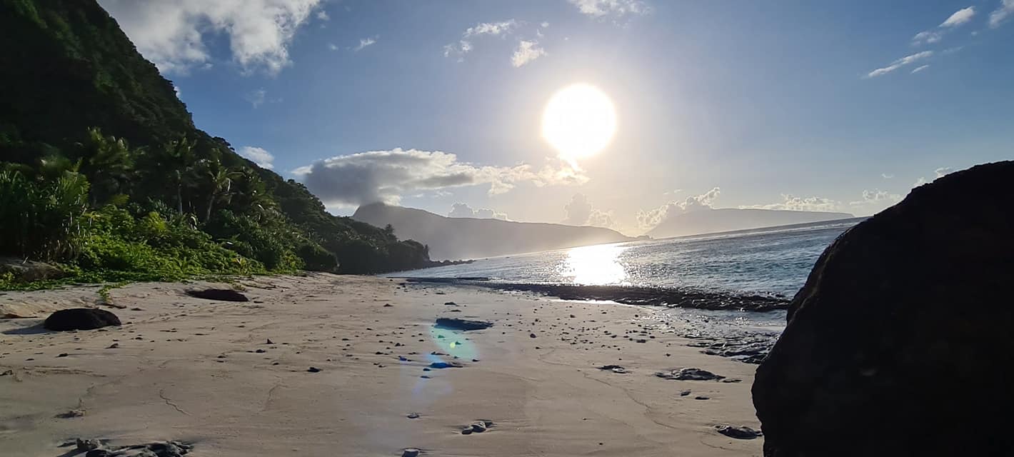 Sunrise/Sunset Info (Oso/Goto le La)
 Tides Info (Tala o le Tai)