
Strong to severe thunderstorms capable of producing large to very large hail, damaging wind gusts and a few strong tornadoes are likely from the Midwest to the Mid-Atlantic tonight. Moderate Risk (level 4 of 5) of severe thunderstorms is outlooked for the Midwest. A widespread heat wave will peak in the South and East on Friday, with many temperature records expected to be broken. Read More >
.PNG)
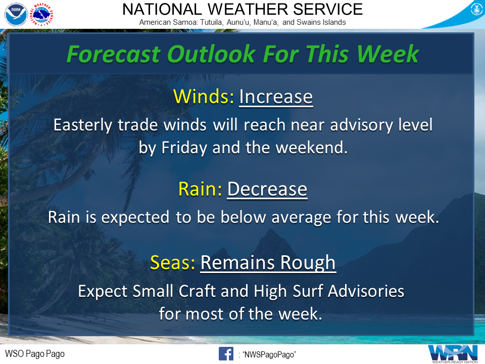
Forecast Outlook for this Week (Aug. 17 - Aug. 23, 2020)
We had an active evening/early morning of heavy rainfall ranging from over 2 inches at the airport (NWS Station) and Siufaga Ridge (US Park Service Station) to .22 inches from the Rose Atoll Wildlife Refuge (US Fish and Wildlife Service Station) that fell from 1 AM to 7 AM. Fortunately, the risk of rain will decrease throughout the week. Only isolated showers are forecast on Tuesday night through Thursday.
Trade winds, however, will reach seasonable strength for the majority of the week but is forecast to increase up to 25 mph by Friday and the weekend. This is close to Wind Advisory levels, so we will monitor wind speeds as the week progresses.
Seas will remain rough throughout the week reaching up to 10 feet with higher surf. For Mariners, locally easterly wind driven seas will mix with long period swell from the south. Expect mixing seas through Saturday.
Overall, the risk of severe weather is very low through Friday, but we will continue to monitor the conditions and will notify if there are any significant changes to the weather pattern.


 mPING (Ripoti mai Tala o le Tau)
 Pacific Tsunami Warning Center (PTWC)
 Previous 36hrs Airport Obs (Vaaiga o le Tau i le Malae Vaalele)
 Submit a Storm Report (Ripoti mai le Tau)
 Sunrise/Sunset Info (Oso/Goto le La)
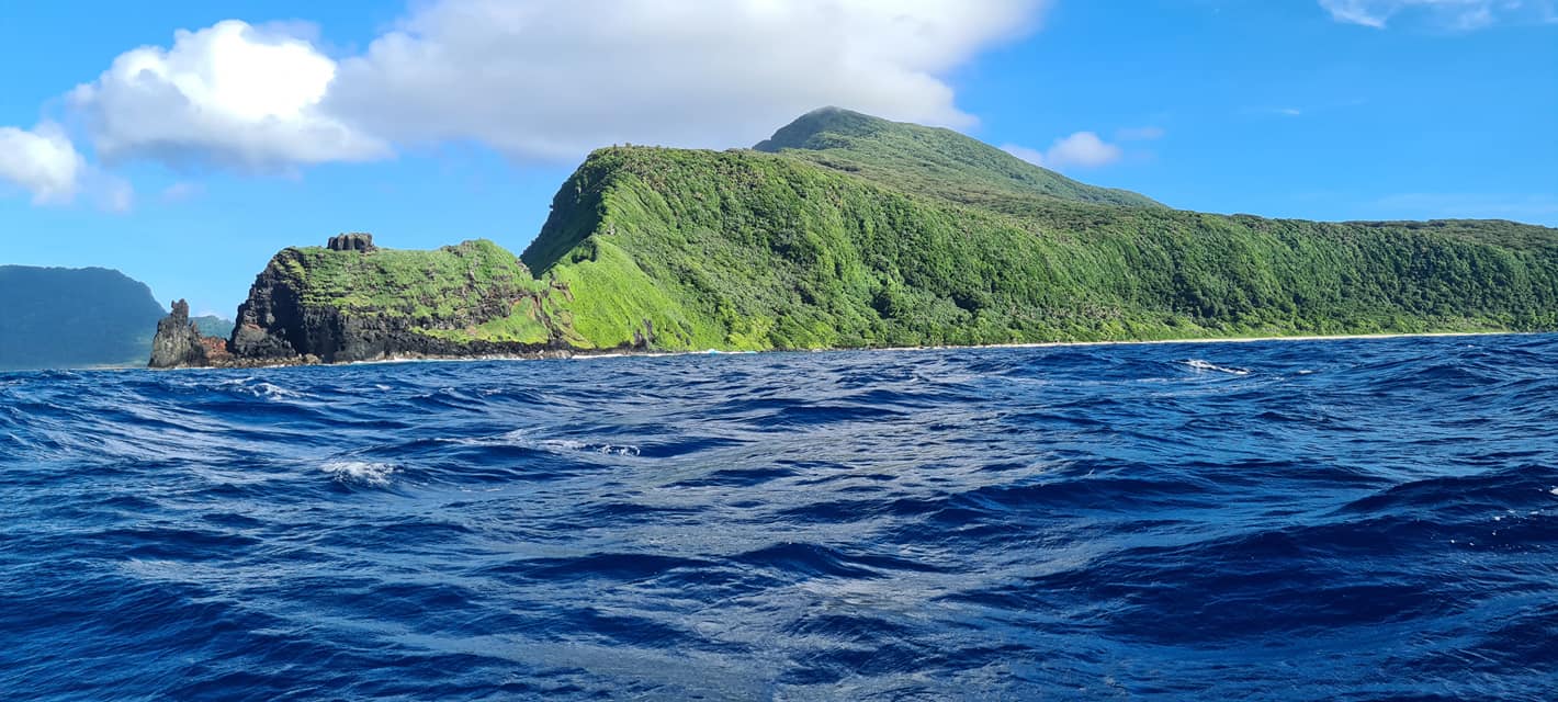 Tides Info (Tala o le Tai)