
A storm system will continue to slowly move through the Gulf Coast and Southeast U.S. over the next couple of days, bringing a heavy rainfall threat through the weekend. Isolated instances of flooding may occur. On the north side of this storm system, colder air will support areas of mixed wintry precipitation and light snow from the Tennessee Valley to the Mid-Atlantic Friday. Read More >
Last Map Update: Thu, Dec 4, 2025 at 11:06:34 pm MST
|
Text Product Selector (Selected product opens in current window)
|
|


 HeatRisk
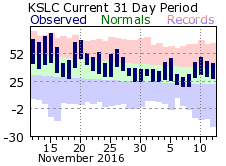 Monthly Climate Data