
Subtropical Storm Josephine will continue to bring significant coastal flooding impacts, dangerous marine conditions, and beach erosion along portions of the Eastern Seaboard. A Pacific storm will interact with tropical moisture and bring excessive rainfall, severe thunderstorms, and high elevation snow to California, the Southwest, and Four Corners region. Read More >
Last Map Update: Thu, Oct 22, 2026 at 11:14:19 am MDT


|
Text Product Selector (Selected product opens in current window)
|
|





 RADAR
RADAR Satellite
 Weather Cameras
 Observations
 Hydrology/Water Supply
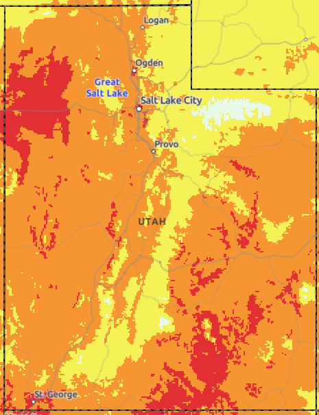 HeatRisk
 Climate Information
 Forecast Discussion
 Aviation
 Avalanche Weather (Snow/Mountain Weather)
 Avalanche
 Probabilistic Snow
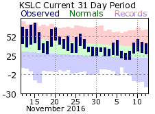 Monthly Climate Data
 Boating
 Flash Flood Information
 Fire Weather
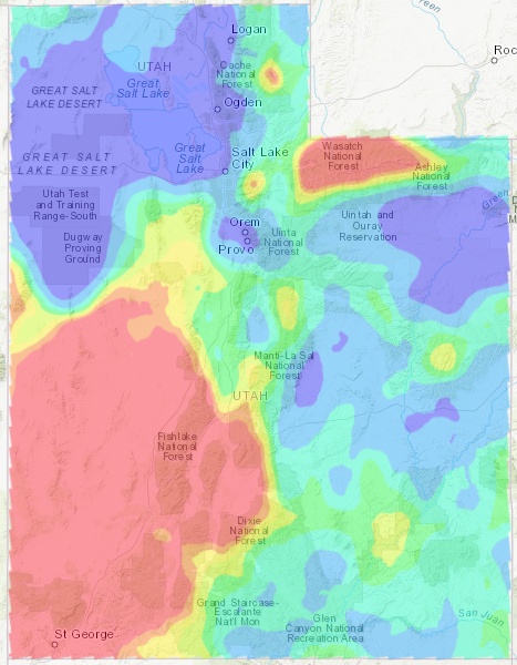 Clearing Index
 Submit a Storm Report
 Follow us on X
 Follow us on Facebook
 Follow us on YouTube
 SLC RSS Feed