
Wildfires and poor air quality continue for the Pacific Northwest, Rockies and extended into the Plains. Severe thunderstorms possible for the northern Plains and upper Midwest on Monday along a frontal boundary. Another boundary will focus showers and thunderstorms for the eastern seaboard with localized heavy rainfall possible. For Alaska, a strong Bering Sea storm will bring winds and rainfall. Read More >
Overview
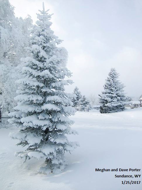
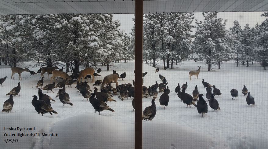
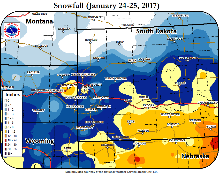
On January 23rd, 2017 a winter storm moved into the northern plains. Initially this system brought freezing fog and patchy freezing drizzle to the area, creating a layer of light icing. Snow began moving in early on the 24th, and lasted into the next day. Nebraska, southern South Dakota, and the northern Black Hills received the most snow. In our area, the highest snowfall amounts reported were 14 inches in south central South Dakota. Breezy northwest winds created some areas of blowing snow, but generally winds were not very strong with this storm system.
 |
 |
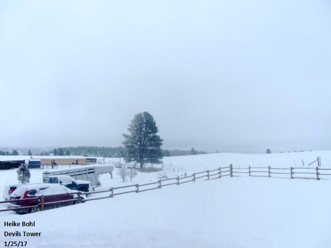 |
| Sundance | Custer Highlands/Elk Mountain | Devils Tower |
Snowfall Map
Storm Reports
SNOW REPORTS LISTED BY AMOUNT

 INCHES  LOCATION                 ST  COUNTY           TIME
 ------  -----------------------  --  --------------   -------
 14.00   COLOME                   SD  TRIPP            1027 AM
 14.00   1 NW MARTIN              SD  BENNETT          1015 AM
 12.00   1 NNE ROSEBUD            SD  TODD             1024 AM
 12.00   5 E PORCUPINE            SD  OGLALA LAKOTA    1002 AM
 12.00   PARMELEE                 SD  TODD             0800 AM
 10.00   SUNDANCE                 WY  CROOK            1105 AM
 10.00   LONG VALLEY              SD  JACKSON          1050 AM
 10.00   WINNER                   SD  TRIPP            0730 AM
 10.00   2 SSW NORRIS             SD  MELLETTE         0700 AM
  9.00   8 SE ST FRANCIS          SD  TODD             0800 AM
  8.00   9 NNW CREIGHTON          SD  PENNINGTON       0800 AM
  7.00   SUNDANCE                 WY  CROOK            0547 AM
  6.00   1 SSW RAPID VALLEY       SD  PENNINGTON       0830 AM
  6.00   1 S PHILIP               SD  HAAKON           0800 AM
  6.00   6 SSW ELM SPRINGS        SD  MEADE            0800 AM
  6.00   10 S FOLSOM              SD  CUSTER           0800 AM
  6.00   1 NW OGLALA              SD  OGLALA LAKOTA    0800 AM
  5.00   2 NNW SAINT ONGE         SD  LAWRENCE         0800 AM
  4.00   DEVILS TOWER             WY  CROOK            1216 PM
  4.00   4 E DOWNTOWN NEWCASTLE   WY  WESTON           0631 AM
  3.80   4 NNW WHITEWOOD          SD  LAWRENCE         0618 AM
  3.50   MOUNT RUSHMORE           SD  PENNINGTON       0656 AM
  3.00   RED OWL                  SD  MEADE            0655 AM
  3.00   6NNE DOWNTOWN RAPID CITY SD  MEADE            0649 AM
 |
Media use of NWS Web News Stories is encouraged! Please acknowledge the NWS as the source of any news information accessed from this site. |
|

