Winter Briefing
To view hazards legend: Stop the loop, step to the end, and use the alerts drop-down. View full radar page here.
Click here for a static hazards map.
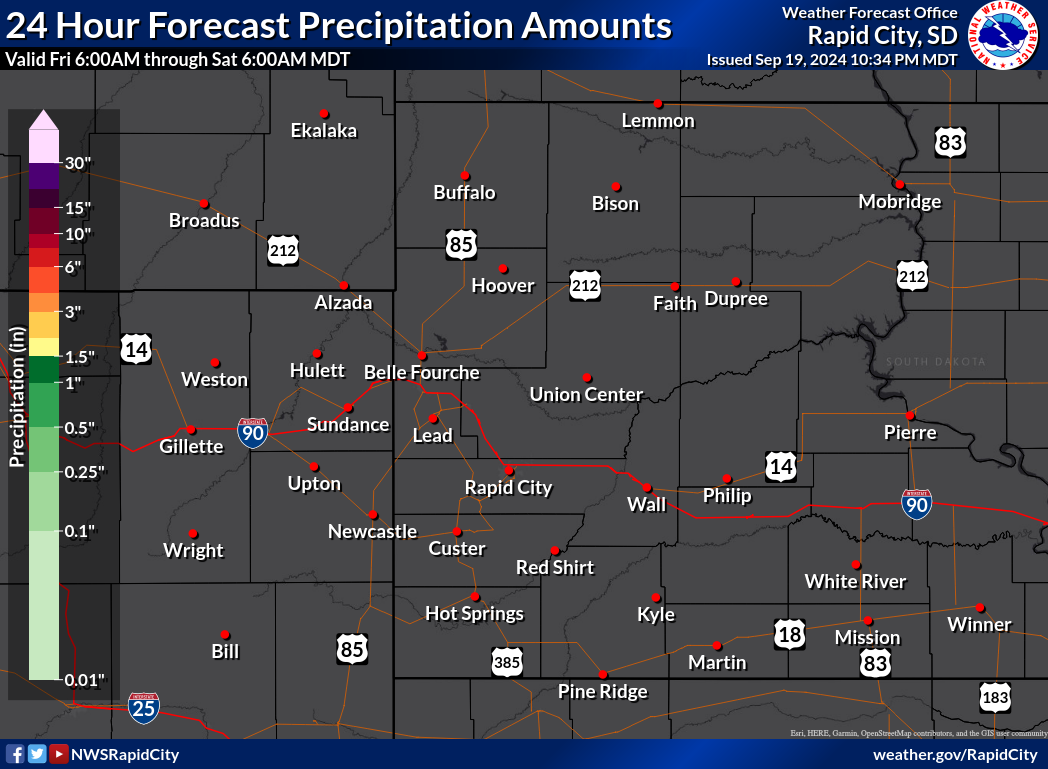
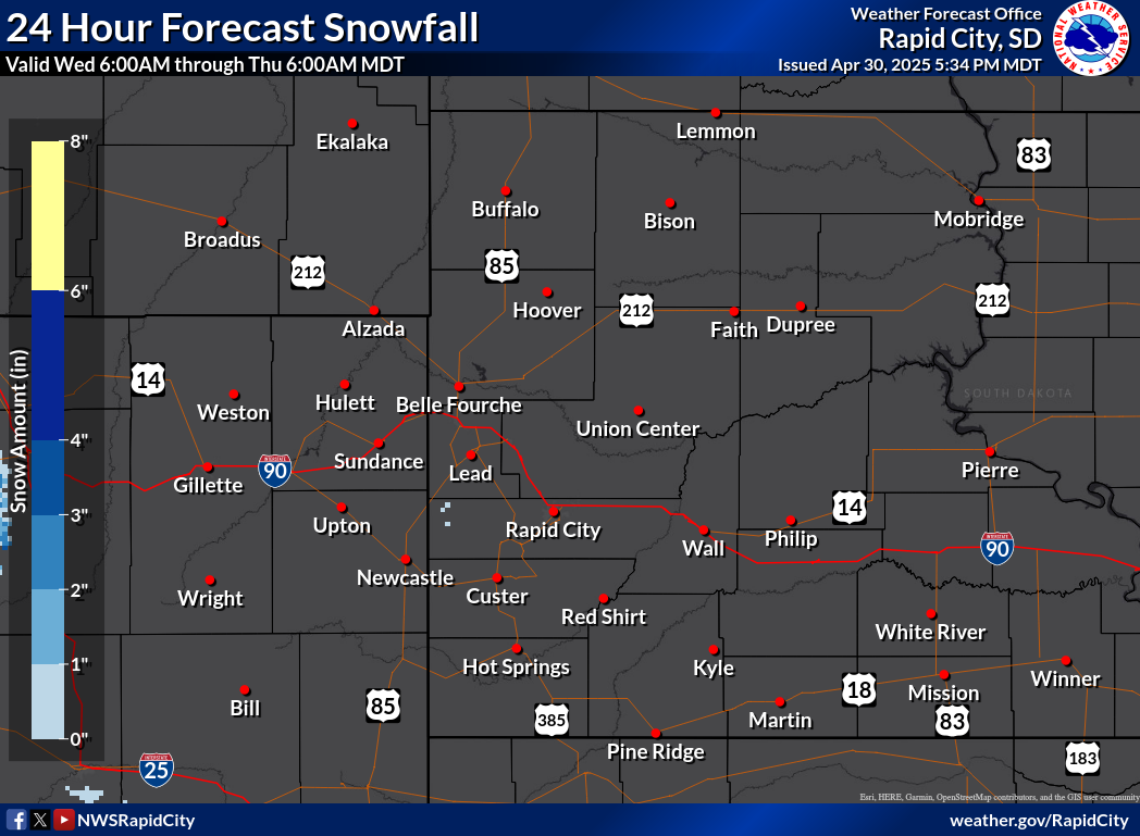
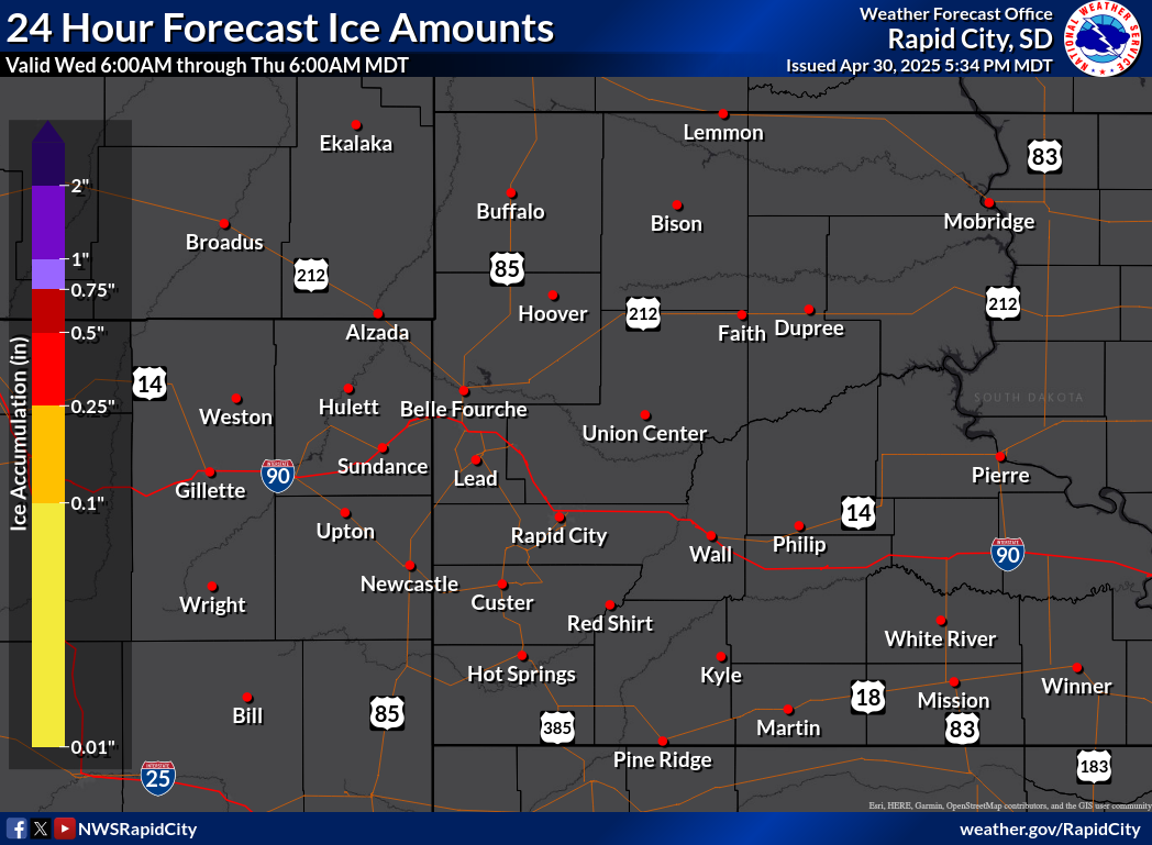
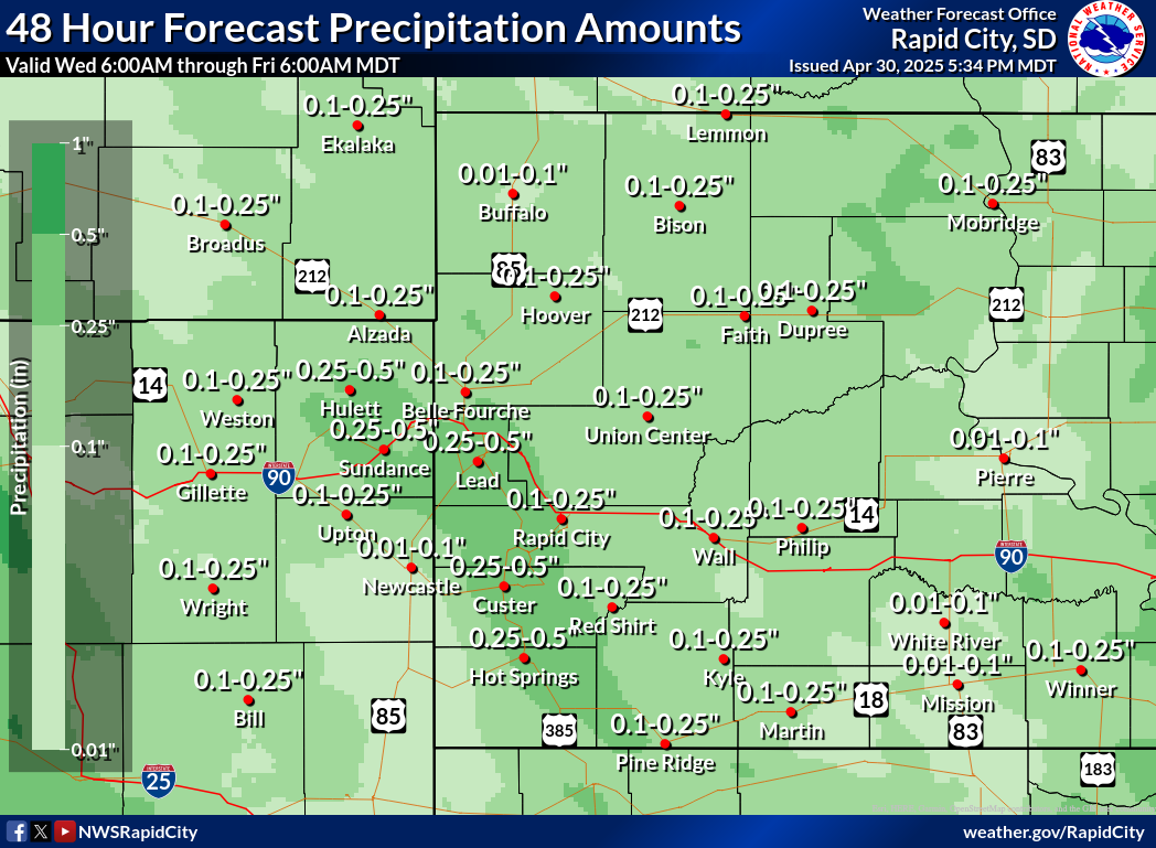
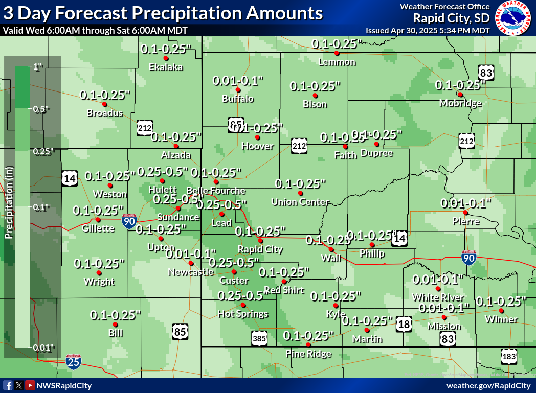
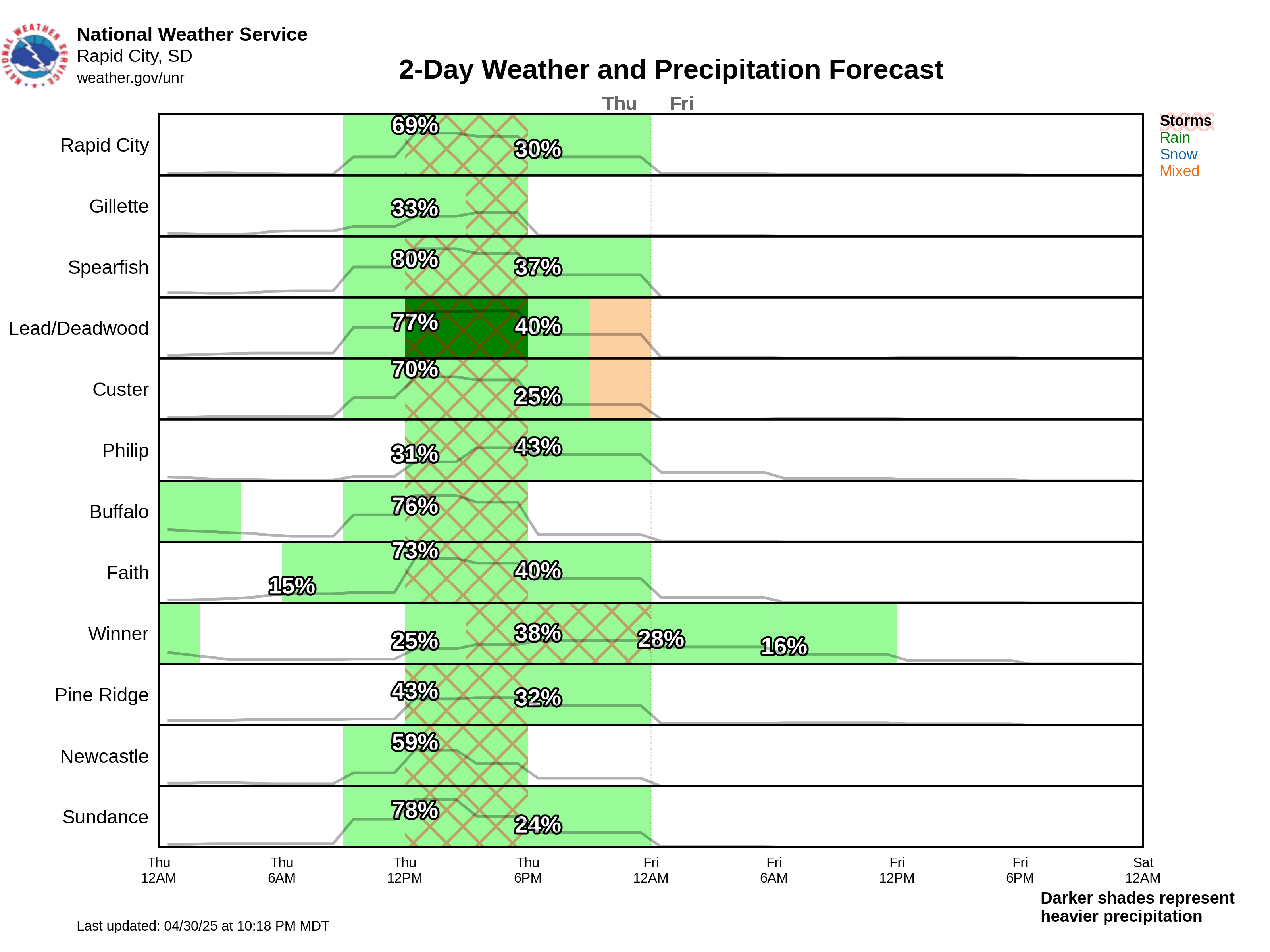
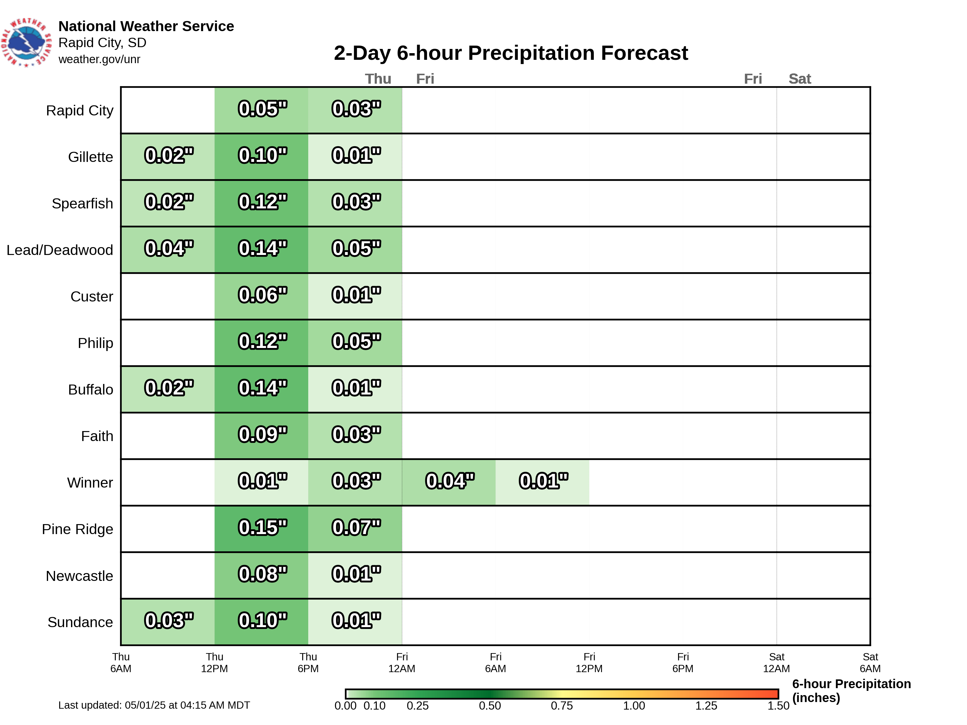
Precipitation Forecast
Liquid Precipitation

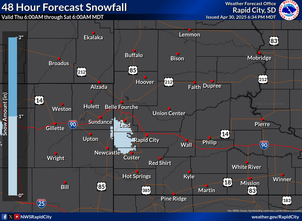
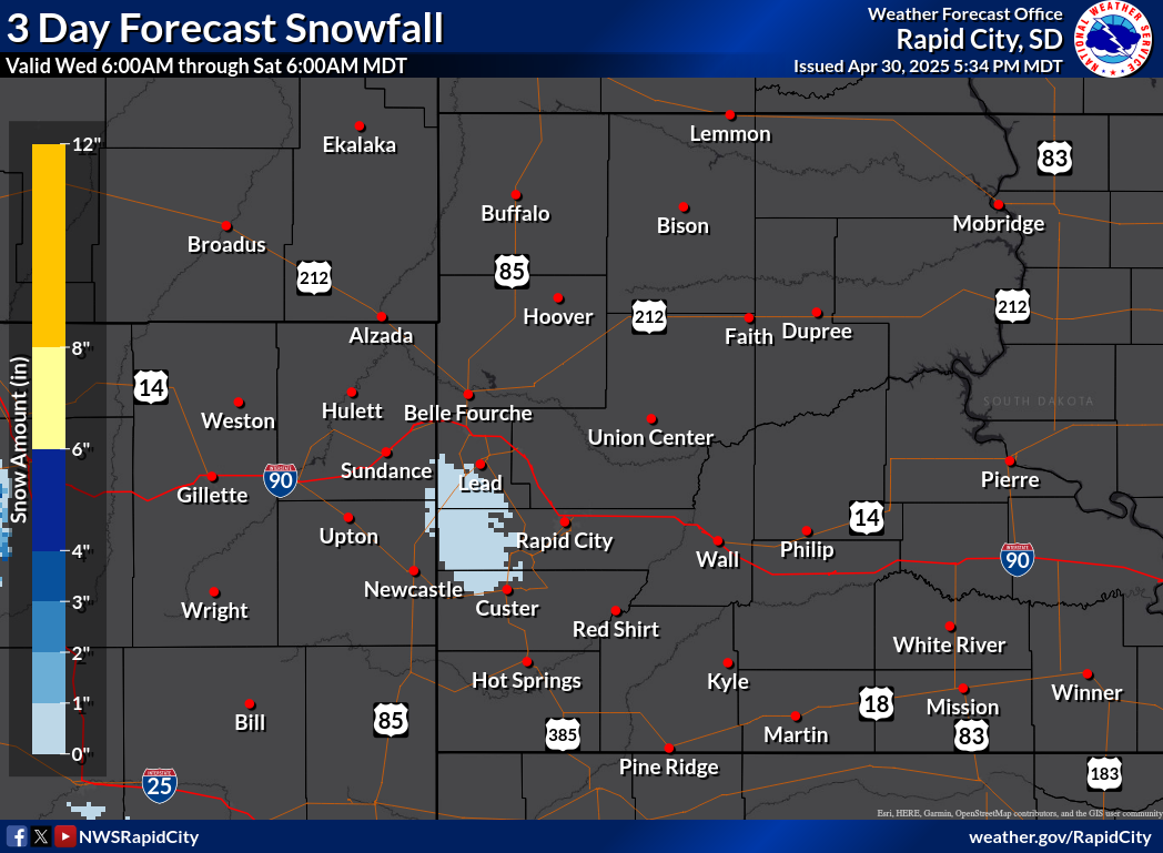
Snowfall

Ice

Range of 3-Day Snowfall Possibilities
Probability of Snow Amounts
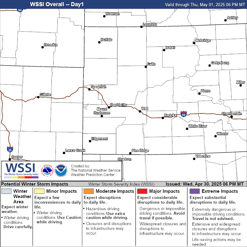
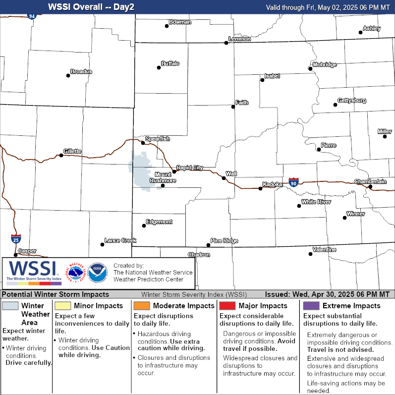
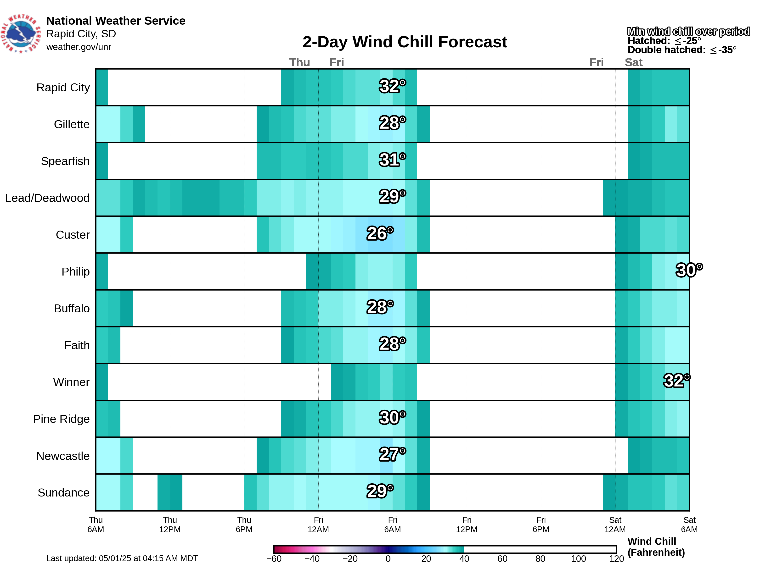
Winter Storm Severity Index
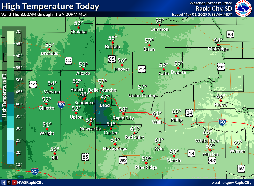
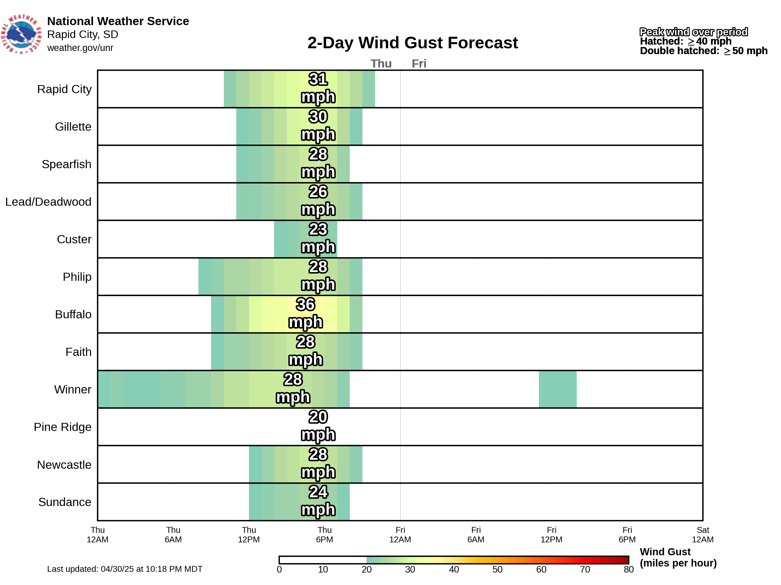
Additional Weather Elements
(mouse over day or period to see map below)
Detailed Point Forecast
(click map to change the location of the forecast listed below the map)
Climate Outlooks
8-14 Day Temp Outlook

8-14 Day Precip Outlook

Winter Weather Definitions
Winter Storm WATCH:
A winter storm or blizzard is possible, but the timing and area affected are still uncertain.
Winter Storm WARNING:
A dangerous winter storm with snow, freezing precipitation, strong winds, and/or cold temperatures is expected or occurring.
Blizzard WARNING:
A severe winter storm with winds 35 mph or greater and snow or blowing snow, reducing visibility to less than 1/4 mile is expected or occurring.
Ice Storm WARNING:
Ice accumulations of 1/4 inch or more that could cause dangerous conditions and significant damage is expected or occurring.
Winter Weather ADVISORY:
Three to five inches of snow, blowing snow, light freezing precipitation, strong winds, and/or cold temperatures are expected or occurring.
Wind Chill WARNING:
Wind chill values -35 degrees F or colder.
Wind Chill ADVISORY:
Wind chill values between -25 degrees and -35 degrees F.
High Wind WARNING:
Sustained winds 40 mph or greater or wind gusts 58 mph or greater.
Wind ADVISORY:
Sustained winds 30 to 39 mph or wind gusts 45 to 57 mph.
Dense Fog ADVISORY:
Visibilities at or below 1/4 mile.
Freeze WARNING:
Temperatures 32 degrees or colder for several hours over a widespread area during the growing season, generally May 1 through October 15.
Frost ADVISORY:
Temperatures 33 to 36 degrees, clear skies, and light winds for several hours over a widespread area during the growing season, generally May 1 through October 15.
