
A cold front will sweep eastward today accompanied by strong to severe thunderstorms for the mid-Atlantic and Northeast today. In the wake of this cold front, autumn like temperatures and gusty winds from the Plains, Mississippi Valley, Great Lakes to most of the eastern seaboard. Fire weather conditions for lower Mississippi Valley into portions of California. For Guam, a typhoon is approaching. Read More >
Rapid City, SD
Weather Forecast Office
| 2018 | 2019 | 2020 |
|---|---|---|
 |
 |
 |
| 2021 | 2022 | 2023 |
|---|---|---|
 |
 |
 |
| 2024 | ||
|---|---|---|
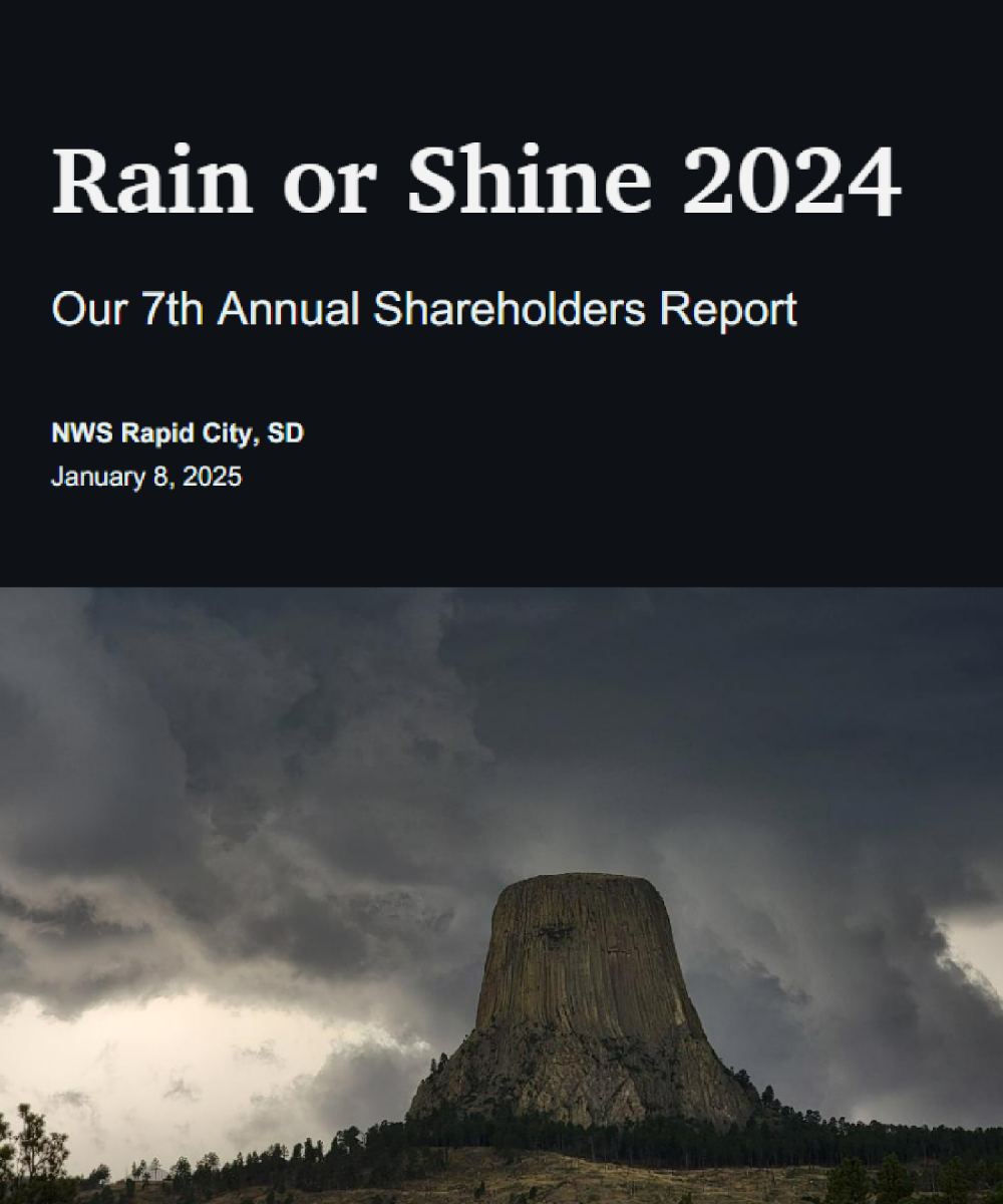 |

US Dept of Commerce
National Oceanic and Atmospheric Administration
National Weather Service
Rapid City, SD
300 East Signal Drive
Rapid City, SD 57701-3800
605-341-9271
Comments? Questions? Please Contact Us.


 Follow us on X
 Follow us on Facebook
 Follow us on YouTube
 UNR RSS Feed