
Flash flooding threatens areas from the Tennessee Valley to the Carolinas as storms repeat along a stalled front. Monsoonal storms may trigger flooding in the Southwest. Dangerous heat expands across the Desert Southwest, Plains, mid-Mississippi Valley and Southern Tier. Critical fire weather for interior Pacific Northwest. Cooler, drier air brings brief relief to the Great Lakes and Northeast. Read More >
If the zone forecast doesn't appear when you click on the map, click here for the complete fire weather zone forecast text.
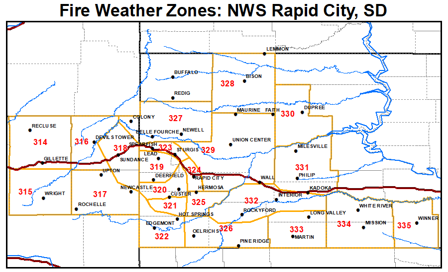
This page is intended to give you a source of fire weather information for the area. The National Weather Service in Rapid City is currently responsible for producing spot weather forecasts and land management forecasts for the local fire agencies.
Mail your burn plans to:
Attn: Burn Plans
300 East Signal Drive
Rapid City SD 57701
This will help us better prepare for your specific burn.

