
Tropical system in the Gulf expected to gradually strengthen the next couple of days off the Florida Panhandle and Alabama coasts. Instances of flash flooding will be possible through Thursday along the eastern and central Gulf Coast. Severe thunderstorms will develop and move along a cold front crossing the Upper Midwest, and through the Ohio Valley/Mid-Atlantic on Tuesday. Read More >
Overview
June 12, 2017 - During the evening, thunderstorms developed and moved into northeastern Wyoming and western South Dakota ahead of a strong low pressure system. Some of the storms produced wind gusts to 75 mph, and hail to 1.5 inches in diameter. A brief tornado was observed 4 miles WNW of Swett in Bennett County, but no damage was reported. Strong wind gusts tipped over a semi truck on I-90 near Kadoka.
Radar:
6 Hour Loop
Storm Reports
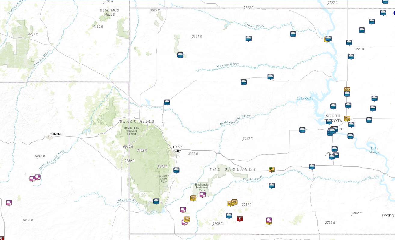
THE STORM REPORTS LISTED BELOW ARE IN DESCENDING ORDER AND MAY NOT NECESSARILY
BE THE FINAL STORM REPORTS.

HAIL REPORTS LISTED BY SIZE (INCHES)
 SIZE    LOCATION                 ST  COUNTY           TIME
 ------  -----------------------  --  --------------   -------
  1.50   8 NNW PINE TREE JUNCTION WY  CAMPBELL         0514 PM
  1.00   2 N TUTHILL              SD  BENNETT          1201 AM
  1.00   11 W ROCKYFORD           SD  OGLALA LAKOTA    0844 PM
  1.00   8 E SMITHWICK            SD  FALL RIVER       0743 PM
  1.00   10 ESE OELRICHS          SD  FALL RIVER       0710 PM
  1.00   8 SSE SAVAGETON          WY  CAMPBELL         0515 PM

TSTM WIND REPORTS LISTED BY SPEED (MPH)
 SPEED   LOCATION                 ST  COUNTY           TIME
 ------  -----------------------  --  --------------   -------
 75.00   2 SSW KYLE               SD  OGLALA LAKOTA    0910 PM
 65.00   3 E KYLE                 SD  OGLALA LAKOTA    0920 PM
 60.00   13 S RED SHIRT           SD  OGLALA LAKOTA    1145 PM
 60.00   TUTHILL                  SD  BENNETT          1135 PM
 60.00   10 NE ARDMORE            SD  FALL RIVER       1058 PM
 60.00   13 NW SLIM BUTTE         SD  OGLALA LAKOTA    0715 PM

RAIN AMOUNTS (INCHES)
 AMOUNT  LOCATION                 ST  COUNTY           TIME
 ------  -----------------------  --  --------------   -------
  1.60   HERMOSA                  SD  CUSTER           0600 AM
  1.40   14 S REVA                SD  HARDING          0609 AM
  1.36   5 E PORCUPINE            SD  OGLALA LAKOTA    0600 AM
  1.12   4 W DOWNTOWN HOT SPRING  SD  FALL RIVER       0600 AM
  1.09   3 ENE NEWELL             SD  BUTTE            0600 AM
  0.90   9 WSW RED ELM            SD  ZIEBACH          0600 AM
  0.74   11 ENE WANBLEE           SD  JACKSON          0600 AM
 |
Media use of NWS Web News Stories is encouraged! Please acknowledge the NWS as the source of any news information accessed from this site. |
|

