
Dangerous heat will expand from the Gulf Coast into the Southern Plains and Desert Southwest through week's end. Additional extreme heat impacting the Pacific Northwest will shift to the northern Plains by the weekend. Tropical Storm Bertha is expected to continue to impact portions of the northwestern Gulf Coast from south central Louisiana to the upper Texas coast today. Read More >
Overview
February 8-9, 2018 - A slow-moving winter storm brought heavy snow to parts of northeast Wyoming and western South Dakota. Snow began early February 8 dropping several inches of snow across northwest South Dakota. Warmer air moved in above the ground. Some of the precipitation turned to sleet and freezing rain over the Black Hills and adjacent plains during the afternoon and early evening February 8.
A secondary wave of energy moved through at night which pushed bitterly cold arctic air into the region. It also changed changed precipitation to all snow. The heaviest snow fell the night of February 8 into the morning of February 9. The heaviest snow fell from Gillette, WY to Hot Springs, SD to Porcupine, SD.
Clearing skies over the fresh snow cover created bitterly cold low temperatures by the morning of February 10.
 |
 |
 |
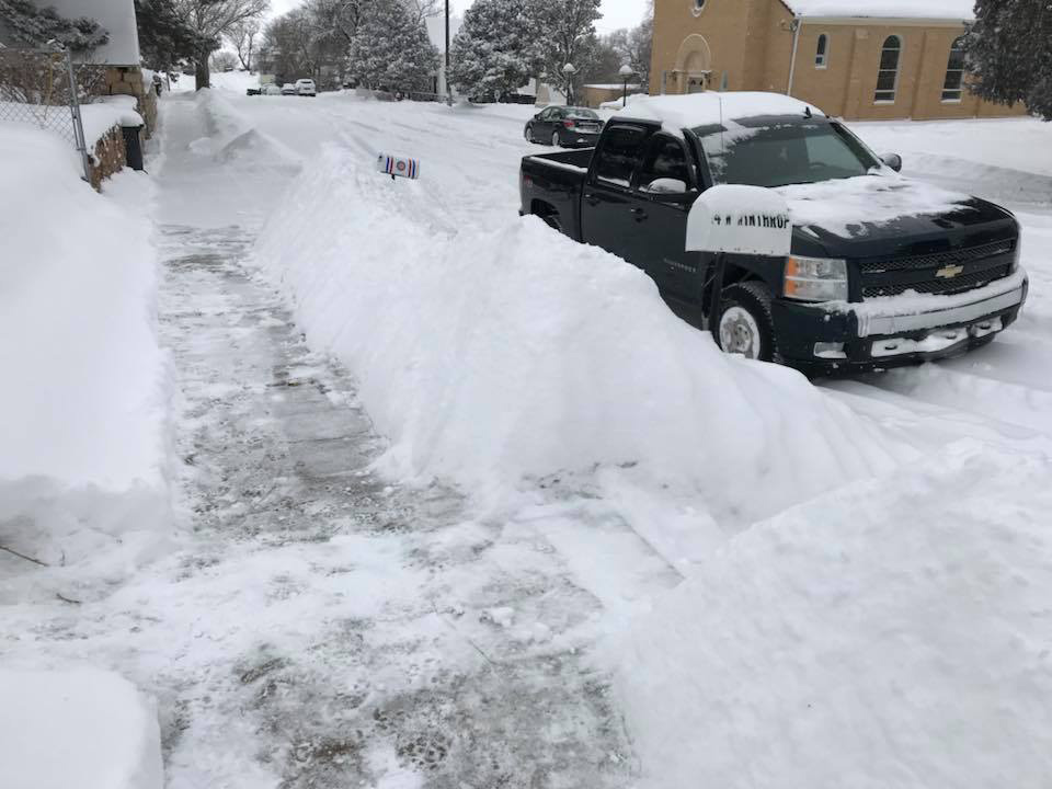
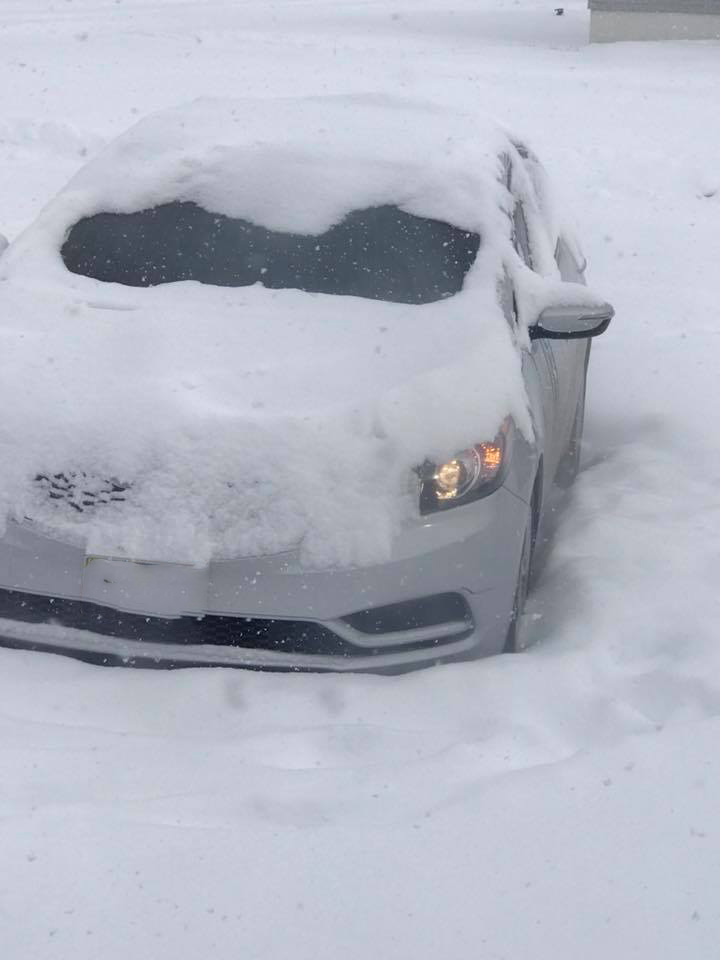
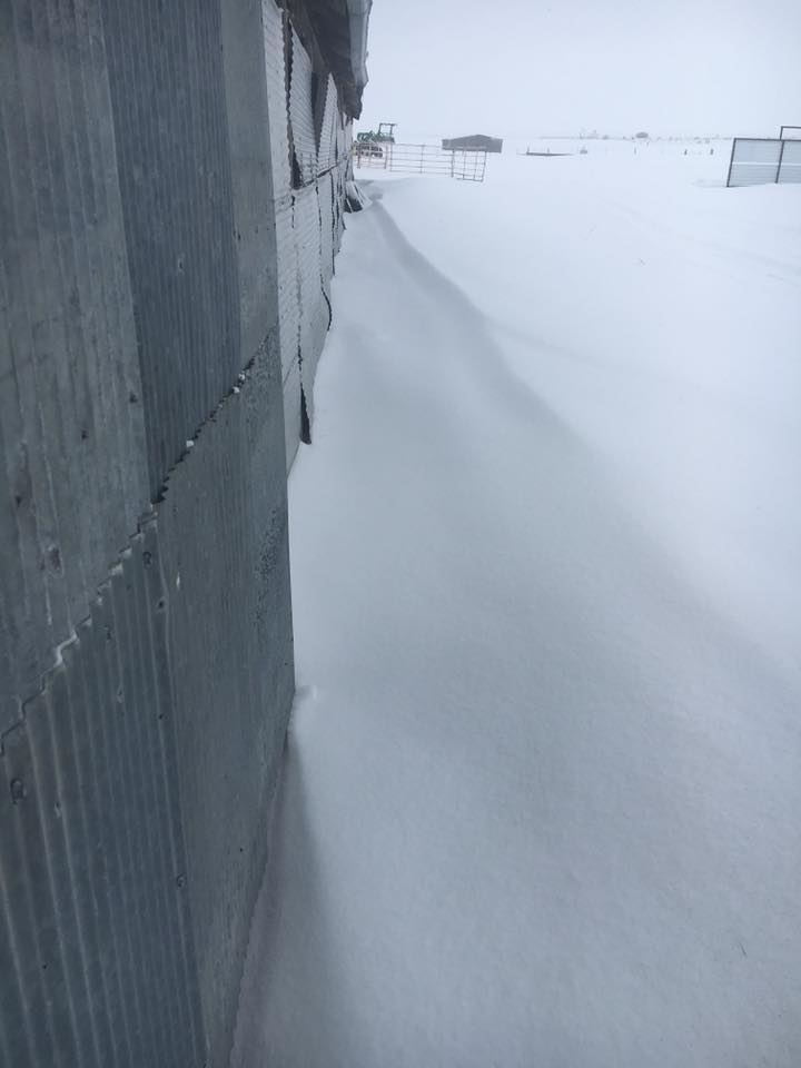
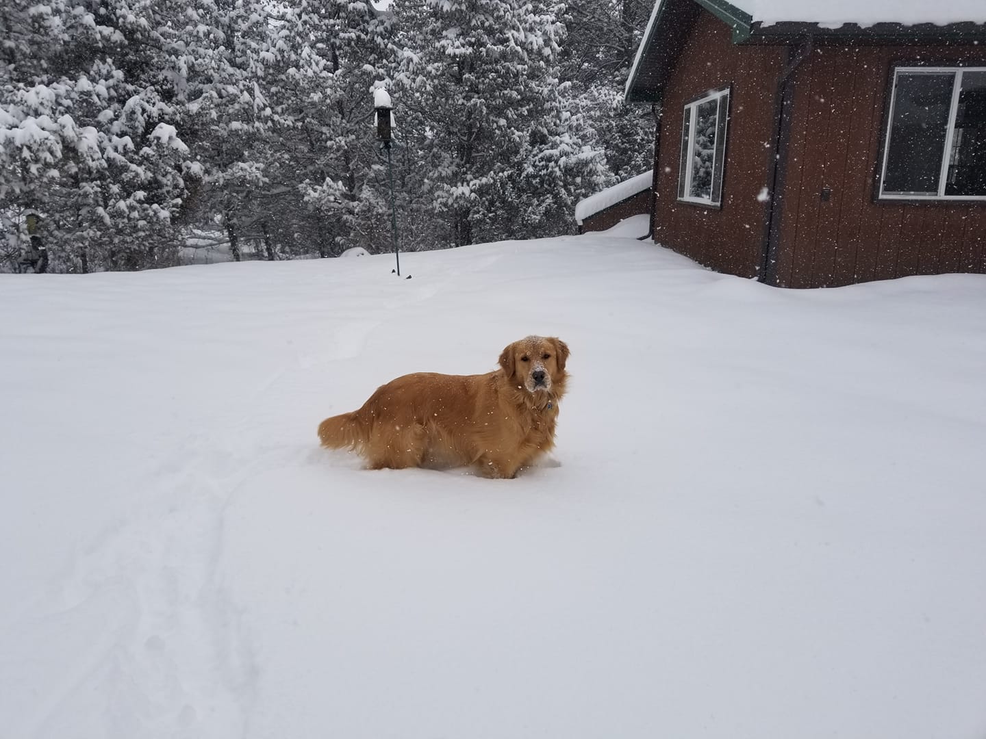
| Newcastle, WY Courtesy Aaron N. | Hot Springs, SD Courtesy Jessica M. | Southern Harding County, SD Courtesy Meria S. |

Snow Maps (inches)


Photos:
 |
 |
 |
 |
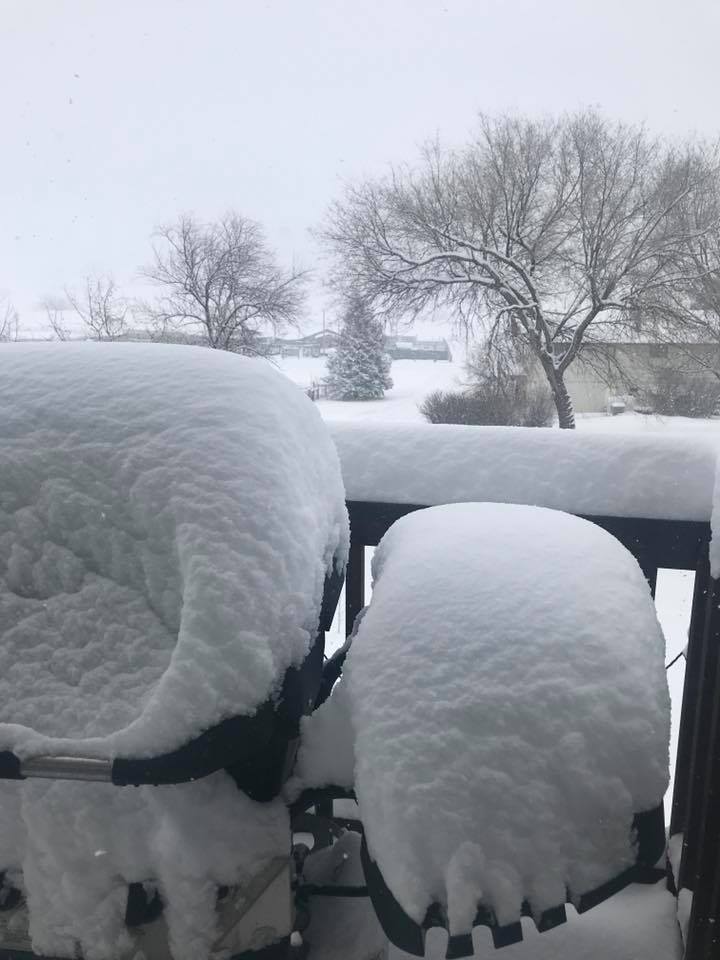
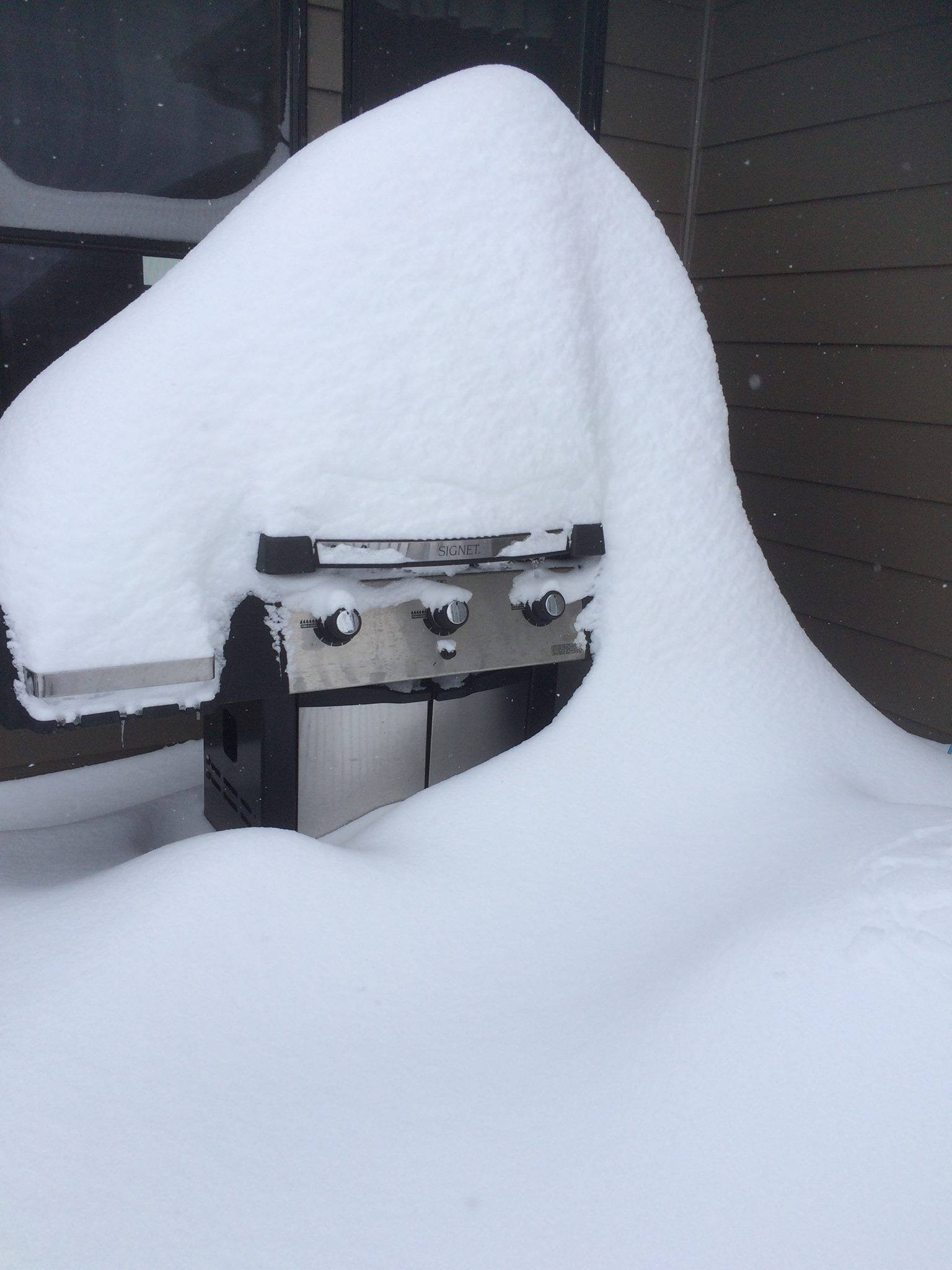
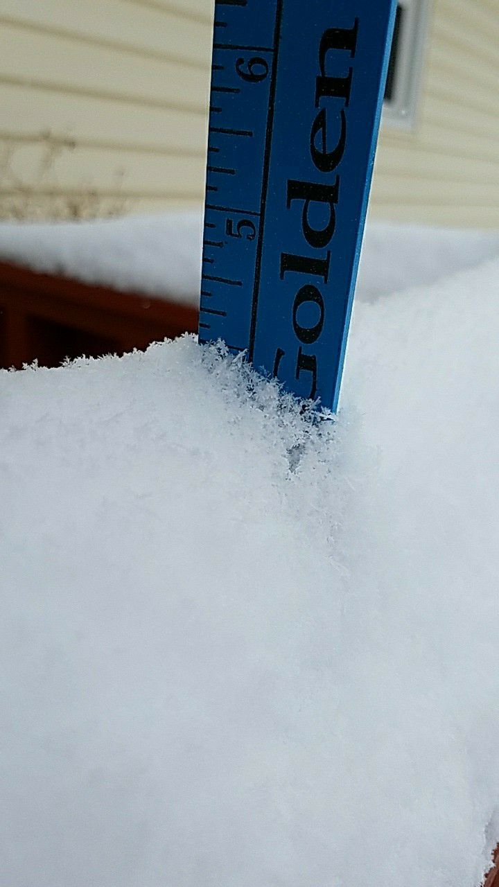
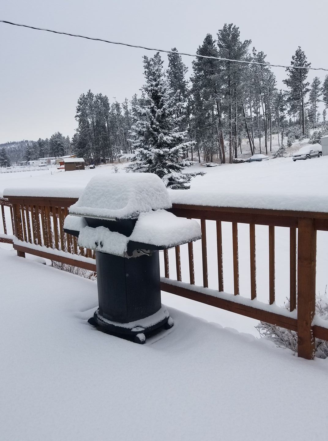
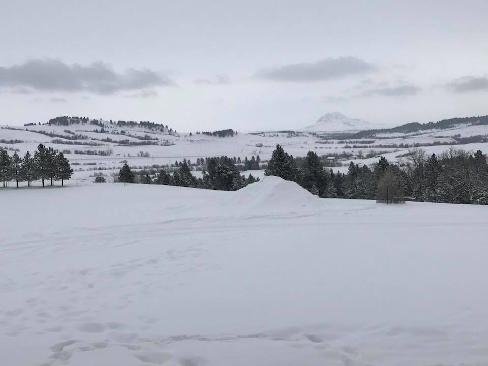
| Between Piedmont and Tilford, SD Courtesy Angie S. | Gillette, WY Courtesy Daren W. | Wall, SD Courtesy Jason A. | Gillette, WY Courtesy Debbie S. |
Header
 |
 |
 |
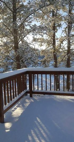 |
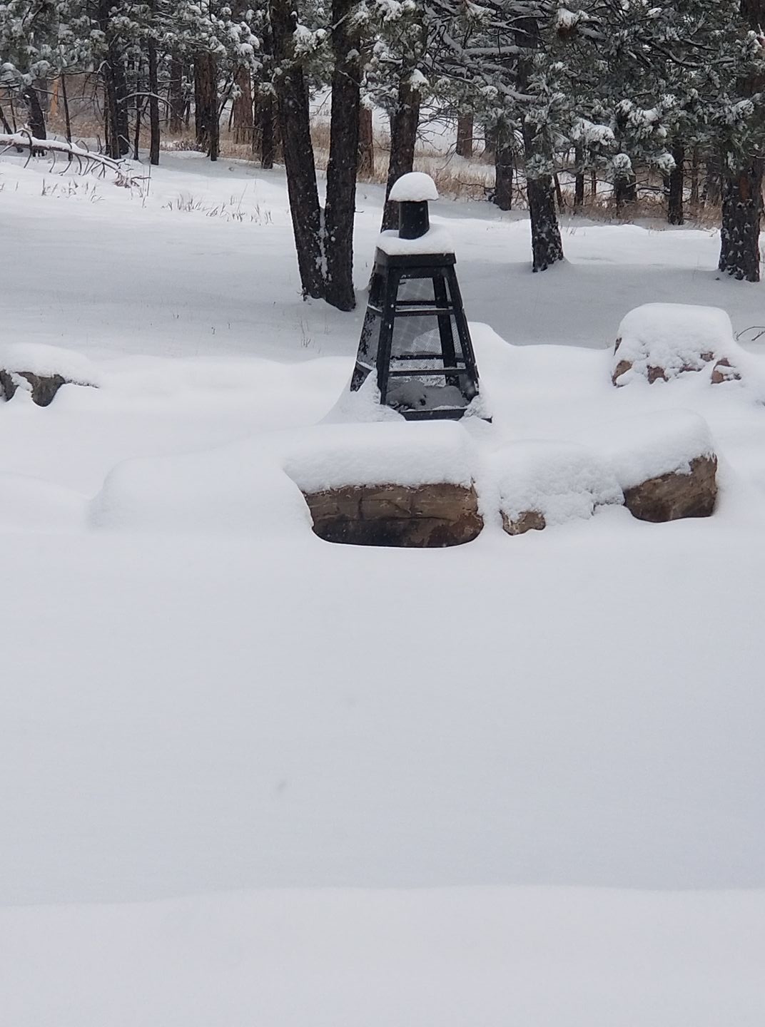
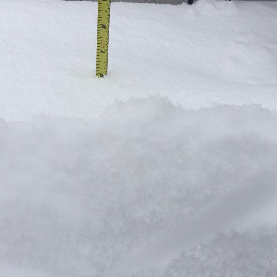
| Custer, SD Courtesy Joseph B. | Harding, SD Courtesy Karen and Tim S. | Near Hill City, SD Courtesy Katherine A. | Near Hill City, SD Courtesy Katherine A. |
Header
 |
 |
 |
|
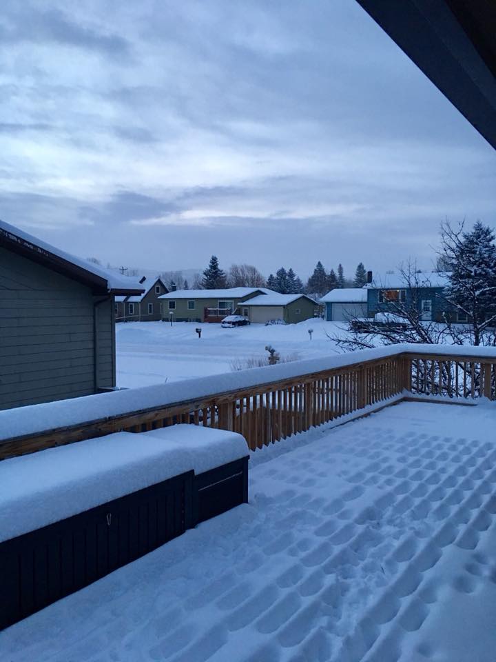
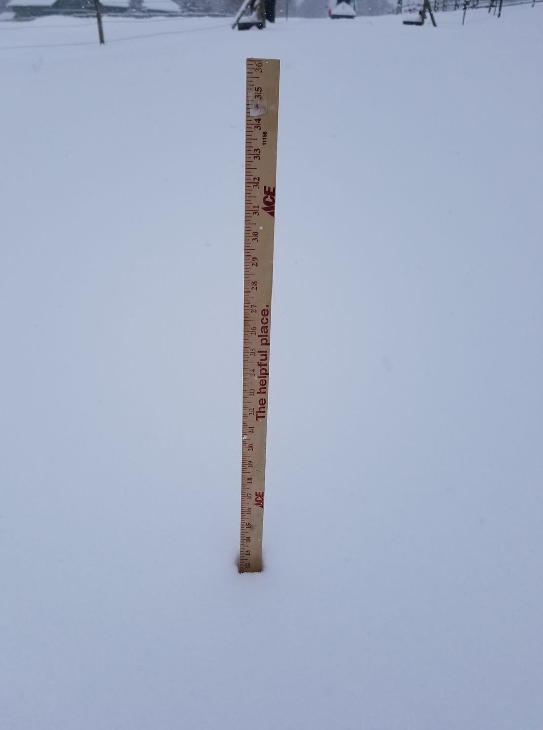
| Hot Springs, SD Courtesy Summer K. | Hot Springs, SD Courtesy Summer K. | Between Whitewood and Sturgis, SD Courtesy Tyffany J. |
Storm Reports
 INCHES  LOCATION                 ST  COUNTY
 ------  -----------------------  --  --------------
 15.00   DOWNTOWN HOT SPRINGS     SD  FALL RIVER
 12.00   1 WNW HOOVER             SD  BUTTE
 12.00   BUFFALO                  SD  HARDING
 12.00   CUSTER                   SD  CUSTER
 11.00   DOWNTOWN NEWCASTLE       WY  WESTON
 10.00   1 E BRIDGER              SD  ZIEBACH
 10.00   2 ENE WHITE OWL          SD  MEADE
 10.00   7 NE SMITHWICK           SD  FALL RIVER
 10.00   REDIG                    SD  HARDING
  9.50   1 ESE DOWNTOWN NEWCASTL  WY  WESTON
  9.50   4 W DOWNTOWN HOT SPRING  SD  FALL RIVER
  9.00   2 NNW PIEDMONT           SD  MEADE
  9.00   5 E PORCUPINE            SD  OGLALA LAKOTA
  9.00   DOWNTOWN NEWCASTLE       WY  WESTON
  9.00   13 W DOWNTOWN CUSTER     SD  CUSTER
  9.00   3 SSE HARDING            SD  HARDING
  9.00   14 NNW DOWNTOWN GILLETT  WY  CAMPBELL
  9.00   21 NW FAITH              SD  PERKINS
  8.50   3 ESE WHITEWOOD          SD  LAWRENCE
  8.00   1 NNW SUMMERSET          SD  MEADE
  8.00   CAMP CROOK               SD  HARDING
  8.00   PINE HAVEN               WY  CROOK
  8.00   24 SW BISON              SD  PERKINS
  8.00   RED OWL                  SD  MEADE
  8.00   ORAL                     SD  FALL RIVER
  8.00   13 SSW DOWNTOWN NEWCAST  WY  WESTON
  7.50   4 SSW REVA               SD  HARDING
  7.00   2 NNW SAINT ONGE         SD  LAWRENCE
  7.00   8 SE HOOVER              SD  BUTTE
  7.00   DUPREE                   SD  ZIEBACH
  7.00   21 NNW BELLE FOURCHE RE  SD  BUTTE
  7.00   DOWNTOWN GILLETTE        WY  CAMPBELL
  7.00   13 WNW UPTON             WY  WESTON
  7.00   1 NE DOWNTOWN GILLETTE   WY  CAMPBELL
  6.90   2 W OPAL                 SD  MEADE
  6.80   1 NNW UPTON              WY  WESTON
  6.40   HILL CITY                SD  PENNINGTON
  6.20   3 ENE NEWELL             SD  BUTTE
  6.00   15 ENE CHERRY CREEK      SD  ZIEBACH
  6.00   8 W KIRLEY               SD  HAAKON
  6.00   PHILIP                   SD  HAAKON
  6.00   5 SE SOUTH EAGLE BUTTE   SD  ZIEBACH
  6.00   10 WNW FAIRBURN          SD  CUSTER
  6.00   1 NNE RALPH              SD  HARDING
  6.00   5 ENE DOWNTOWN CUSTER    SD  CUSTER
  6.00   4 NNW WHITEWOOD          SD  LAWRENCE
  5.50   6 SW BEULAH              WY  CROOK
  5.50   4 SSW HILL CITY          SD  PENNINGTON
  5.30   MOUNT RUSHMORE           SD  PENNINGTON
  5.20   LEAD                     SD  LAWRENCE
  5.00   1 N ROCKYPOINT           WY  CAMPBELL
  5.00   7 ESE GLAD VALLEY        SD  ZIEBACH
  5.00   3 SSE SORUM              SD  PERKINS
  5.00   6 S LODGEPOLE            SD  PERKINS
  5.00   1 SE LADNER              SD  HARDING
  4.70   DOWNTOWN SPEARFISH       SD  LAWRENCE
  4.70   1 S DOWNTOWN BELLE FOUR  SD  BUTTE
  4.50   9 SSE DOWNTOWN GILLETTE  WY  CAMPBELL
  4.50   5 SSW MYSTIC             SD  PENNINGTON
  4.50   1 E DOWNTOWN RAPID CITY  SD  PENNINGTON
  4.30   5 NNW DOWNTOWN SPEARFIS  SD  LAWRENCE
  4.30   5 E PIEDMONT             SD  MEADE
  4.30   RAPID CITY AIRPORT       SD  PENNINGTON
  4.00   2 ESE HEREFORD           SD  MEADE
  4.00   4 S DOWNTOWN RAPID CITY  SD  PENNINGTON
  4.00   1 S LEMMON               SD  PERKINS
  4.00   4 W ELLSWORTH AFB        SD  MEADE
  4.00   1 NW PIEDMONT            SD  MEADE
  4.00   9 NW DEERFIELD           SD  PENNINGTON
  3.60   1 NE BOX ELDER           SD  PENNINGTON
  3.50   1 WNW HULETT             WY  CROOK
  3.50   SUNDANCE                 WY  CROOK
  3.50   7 NNE MEADOW             SD  PERKINS
  3.50   1 NNW DOWNTOWN SPEARFIS  SD  LAWRENCE
  3.40   3 ESE CHEYENNE CROSSING  SD  LAWRENCE
  3.20   HULETT                   WY  CROOK
  3.00   3 ENE ROCHELLE           WY  WESTON
  3.00   CLARETON                 WY  WESTON
  3.00   9 NW DEERFIELD           SD  PENNINGTON
  3.00   HERMOSA                  SD  CUSTER
  3.00   1 NE DOWNTOWN RAPID CIT  SD  PENNINGTON
  3.00   7 SSE CHEYENNE CROSSING  SD  LAWRENCE
  2.90   2 N DOWNTOWN RAPID CITY  SD  PENNINGTON
  2.70   3 WNW DOWNTOWN RAPID CI  SD  PENNINGTON
  2.50   1 ESE PACTOLA RESERVOIR  SD  PENNINGTON
  2.50   6 WSW FOLSOM             SD  CUSTER
  2.30   2 NE HISEGA              SD  PENNINGTON
  2.30   3 NNE JOHNSON SIDING     SD  PENNINGTON
  2.00   WHITE RIVER              SD  MELLETTE
  2.00   15 NNE RECLUSE           WY  CAMPBELL
  2.00   1 NNE SUNDANCE           WY  CROOK
  2.00   WASTA                    SD  PENNINGTON
  2.00   11 NE WESTON             WY  CAMPBELL
  2.00   10 ESE HERMOSA           SD  CUSTER
  1.90   KADOKA                   SD  JACKSON
  1.70   2 SW HAMILL              SD  TRIPP
  1.50   3 ENE KYLE               SD  OGLALA LAKOTA
  1.20   14 NNE MARTIN            SD  BENNETT
  1.00   1 NNE ROSEBUD            SD  TODD
  1.00   10 WNW PINE TREE JUNCTI  WY  CAMPBELL
  1.00   2 SSW NORRIS             SD  MELLETTE
  1.00   6 NNW EDGEMONT           SD  FALL RIVER
 |
Media use of NWS Web News Stories is encouraged! Please acknowledge the NWS as the source of any news information accessed from this site. |
|

