
Scattered thunderstorms with severe gusts, hail and a tornado risk are possible near a cold front from the Ohio Valley to the Mid-Atlantic tonight. Tropical Storm Bertha is expected to bring tropical storm conditions to portions of the Gulf Coast from the panhandle of Florida into Louisiana through Wednesday. Read More >
Overview
|
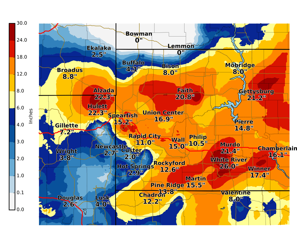
April 10-12, 2019 - A powerful spring blizzard brought heavy snow and strong winds to parts of northeastern Wyoming and much of western South Dakota. The precipitation changed from rain to snow on Tuesday night. Some areas experienced periods of intense snowfall rates associated with thundersnow. Snow amounts across the area varied widely, ranging from a couple of inches in the southern Black Hills to 30 inches over the northern Black Hills and over two feet of snow over parts of the western South Dakota plains. Wind gusts to 50 mph caused whiteout conditions in blowing and drifting snow. Travel was hazardous to impossible. |
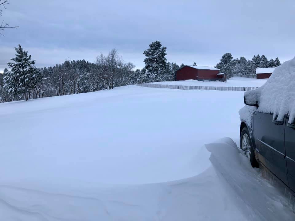
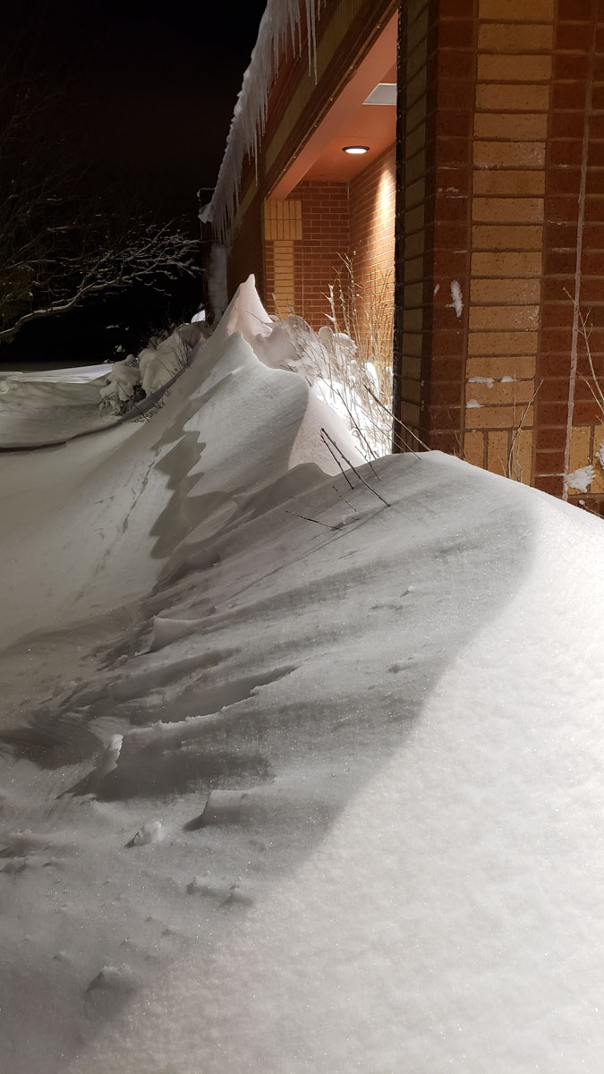
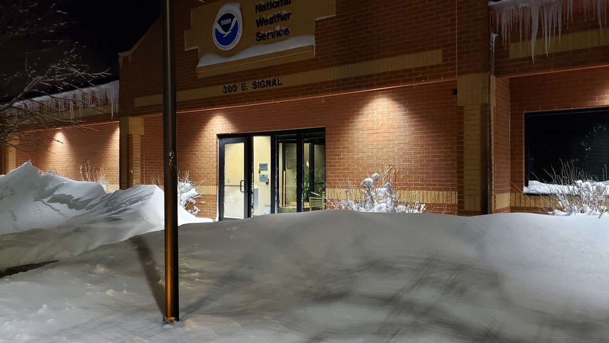 Snow drifts in front of the NWS Rapid City Office |
Snowfall
Snow reports listed by amount
INCHES  LOCATION                     ST  COUNTY           TIME
 ------  -----------------------      --  --------------   -------
 30.00   2 SSE TERRY PEAK             SD  LAWRENCE         0809 AM
 29.10   7 NW CEDAR BUTTE             SD  MELLETTE         0700 AM
 29.00   1 N DEADWOOD                 SD  LAWRENCE         0942 AM
 28.00   DUPREE                       SD  ZIEBACH          0400 PM
 27.00   8 S DUPREE                   SD  ZIEBACH          1025 AM
 26.00   WHITE RIVER                  SD  MELLETTE         0609 AM
 25.50   5 NNW ALVA                   WY  CROOK            0705 AM
 24.40   LEAD                         SD  LAWRENCE         0630 AM
 24.00   4 NW PARMELEE                SD  TODD             1102 AM
 24.00   2 NNW SAINT ONGE             SD  LAWRENCE         1014 AM
 24.00   MAURINE                      SD  MEADE            0937 AM
 24.00   5 N HAMILL                   SD  TRIPP            0401 PM
 24.00   2 W IDEAL                    SD  TRIPP            0400 PM
 22.00   5 E PORCUPINE                SD  OGLALA LAKOTA    0640 PM
 21.50   15 SSE DUPREE                SD  ZIEBACH          0400 PM
 21.00   LEAD                         SD  LAWRENCE         0658 PM
 21.00   4 NW DOWNTOWN RAPID CITY     SD  PENNINGTON       0700 AM
 21.00   3 WSW WHITEWOOD              SD  LAWRENCE         0919 AM
 20.50   WOOD                         SD  MELLETTE         0800 AM
 20.10   KADOKA                       SD  JACKSON          0800 AM
 20.00   GALENA                       SD  LAWRENCE         0957 AM
 20.00   FAIRPOINT                    SD  MEADE            0937 AM
 20.00   6 E WOOD                     SD  MELLETTE         0715 AM
 20.00   6 WSW LONG VALLEY            SD  JACKSON          0746 PM
 20.00   1 WNW HOOVER                 SD  BUTTE            0339 PM
 20.00   2 NNW SAINT ONGE             SD  LAWRENCE         0337 PM
 19.70   3 ESE CHEYENNE CROSSING      SD  LAWRENCE         0700 AM
 19.00   SE DOWNTOWN STURGIS          SD  MEADE            0903 AM
 19.00   8 SE INTERIOR                SD  JACKSON          0902 AM
 19.00   DEADWOOD                     SD  LAWRENCE         0532 AM
 18.30   1 NNW PIEDMONT               SD  MEADE            0907 AM
 18.00   7 SSW CREIGHTON              SD  PENNINGTON       1007 AM
 18.00   12 WSW HEREFORD              SD  MEADE            0811 AM
 18.00   1 W BLACK HAWK               SD  MEADE            0811 AM
 18.00   VETAL                        SD  BENNETT          0748 PM
 18.00   POTATO CREEK                 SD  JACKSON          0744 PM
 18.00   1 S DOWNTOWN BELLE FOURCHE   SD  BUTTE            0924 AM
 17.30   JOHNSON SIDING               SD  PENNINGTON       0636 AM
 17.30   1 NNE SUNDANCE               WY  CROOK            0836 AM
 17.00   SUMMERSET                    SD  MEADE            0819 AM
 17.00   3 SW DOWNTOWN RAPID CITY     SD  PENNINGTON       0812 AM
 17.00   7 NNE ELLSWORTH AFB          SD  MEADE            0707 AM
 16.60   3 NE HISEGA                  SD  PENNINGTON       0700 AM
 15.70   7 N WOOD                     SD  MELLETTE         0700 AM
 15.50   3 SE SAINT ONGE              SD  LAWRENCE         0700 AM
 15.30   5 SSE WHITEWOOD              SD  LAWRENCE         0520 PM
 15.20   1 NNW DOWNTOWN SPEARFISH     SD  LAWRENCE         0900 AM
 15.00   14 S MISSION                 SD  TODD             0700 AM
 15.00   16 NW PHILIP                 SD  HAAKON           1010 AM
 15.00   2 SW NORRIS                  SD  MELLETTE         0700 AM
 15.00   5 ENE MARTIN                 SD  BENNETT          0747 PM
 14.80   3 NNE JOHNSON SIDING         SD  PENNINGTON       0700 AM
 14.50   1 S DOWNTOWN BELLE FOURCHE   SD  BUTTE            0700 AM
 14.00   DOWNTOWN STURGIS             SD  MEADE            0814 AM
 14.00   5 ENE ROCKERVILLE            SD  PENNINGTON       0813 AM
 14.00   WINNER                       SD  TRIPP            0800 AM
 13.80   1 SSE DOWNTOWN SPEARFISH     SD  LAWRENCE         0700 AM
 13.50   W DOWNTOWN RAPID CITY        SD  PENNINGTON       0935 AM
 13.50   16 N KYLE                    SD  OGLALA LAKOTA    0928 AM
 13.20   2 E COTTONWOOD               SD  JACKSON          0700 AM
 12.90   2 SW DOWNTOWN RAPID CITY     SD  PENNINGTON       0805 AM
 12.50   BLACK HAWK                   SD  MEADE            0750 AM
 12.30   1 NE DOWNTOWN RAPID CIT      SD  PENNINGTON       0700 AM
 12.00   5 NE MILESVILLE              SD  HAAKON           0659 PM
 12.00   4 W DOWNTOWN RAPID CITY      SD  PENNINGTON       0700 AM
 12.00   4 S DOWNTOWN RAPID CITY      SD  PENNINGTON       1137 PM
 12.00   4 NE ROCKERVILLE             SD  PENNINGTON       0938 PM
 12.00   3 NE WHITEWOOD               SD  LAWRENCE         1032 AM
 12.00   3 NE INTERIOR                SD  JACKSON          0100 PM
 12.00   8 SE INTERIOR                SD  JACKSON          0809 AM
 11.80   2 WNW DOWNTOWN RAPID CITY    SD  PENNINGTON       0745 AM
 11.70   6 NNW DOWNTOWN SPEARFISH     SD  LAWRENCE         0700 AM
 11.50   BISON                        SD  PERKINS          0500 PM
 11.50   1 E DOWNTOWN RAPID CITY      SD  PENNINGTON       0656 AM
 11.40   2 S DOWNTOWN RAPID CITY      SD  PENNINGTON       0700 AM
 11.20   1 ESE PACTOLA RESERVOIR      SD  PENNINGTON       0800 AM
 11.00   6 NW CLEARFIELD              SD  TRIPP            0359 PM
 11.00   4 SE GILLETTE                SD  CAMPBELL         0200 PM
 10.50   5 NE ROCKERVILLE             SD  PENNINGTON       0700 AM
 10.00   7 E NEWELL                   SD  BUTTE            0846 AM
 10.00   1 NNW DOWNTOWN BELLE FOUCHE  SD  BUTTE            0808 AM
  9.50   NEWELL                       SD  BUTTE            0800 AM
  9.00   FORT MEADE                   SD  MEADE            0600 PM
  8.50   9 ENE WEWELA                 SD  TRIPP            0700 AM
  8.00   CAMP CROOK                   SD  HARDING          0800 AM
  8.00   10 S FOLSOM                  SD  CUSTER           1032 AM
  8.00   3 SE HARDING                 SD  HARDING          0800 AM
  8.00   5 WNW HERMOSA                SD  CUSTER           0849 AM
  8.00   1 E HAYWARD                  SD  PENNINGTON       0818 AM
  8.00   1 NW KADOKA                  SD  JACKSON          0744 PM
  8.00   1 ENE MILLBORO               SD  TRIPP            0400 PM
  8.00   DOWNTOWN SPEARFISH           SD  LAWRENCE         0901 AM
  8.00   8 W REDIG                    SD  HARDING          0709 AM
  7.50   HILL CITY                    SD  PENNINGTON       0700 AM
  7.40   MOUNT RUSHMORE               SD  PENNINGTON       0127 AM
  7.00   4 S HILL CITY                SD  PENNINGTON       0700 AM
  6.00   1 E WESTON                   WY  CAMPBELL         0700 AM
  5.30   1 NE DOWNTOWN RAPID CITY     SD  PENNINGTON       0700 AM
  5.00   1 SW HERMOSA                 SD  CUSTER           0730 AM
  4.00   ORAL                         SD  FALL RIVER       0700 AM
  3.40   1 WNW DOWNTOWN NEWCASTLE     WY  WESTON           0900 AM
  3.00   1 WNW WIND CAVE VISITOR      SD  CUSTER           0100 PM
  3.00   3 N DOWNTOWN CUSTER          SD  CUSTER           0903 AM
  3.00   1 SW HERMOSA                 SD  CUSTER           0859 AM
  2.30   WASTA                        SD  PENNINGTON       0800 AM
  2.00   EDGEMONT                     SD  FALL RIVER       0700 AM
  2.00   HOT SPRINGS                  SD  FALL RIVER       0600 PM
Photos & Video
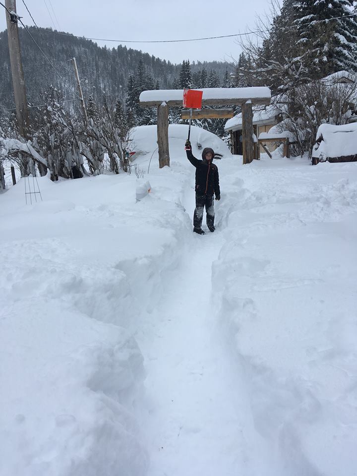
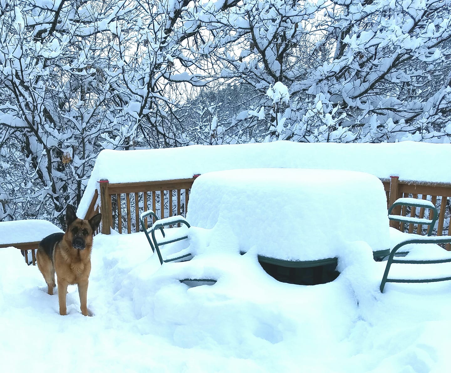
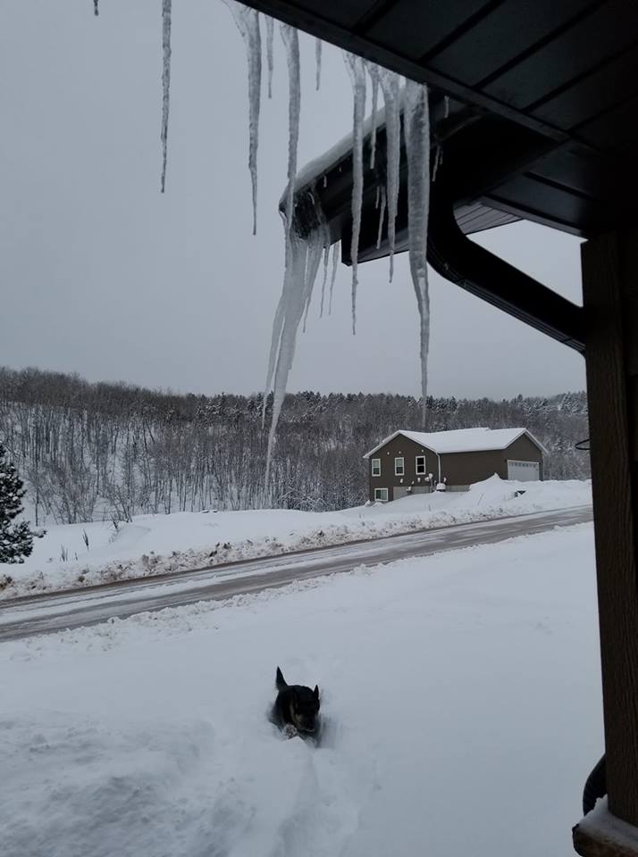
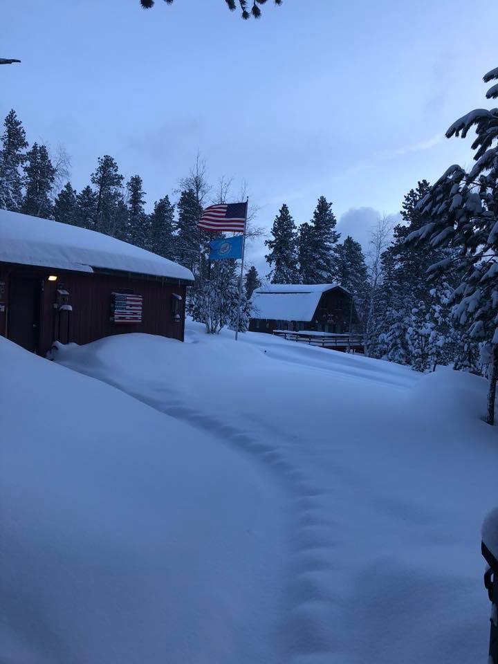
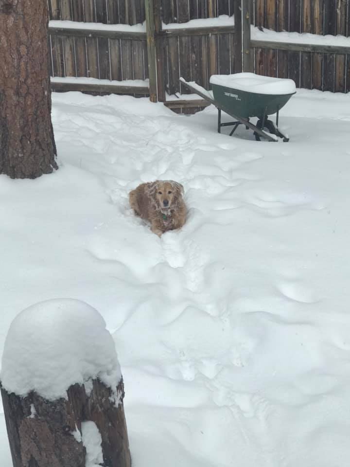
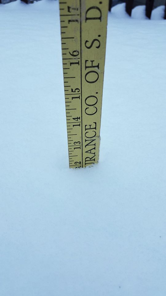
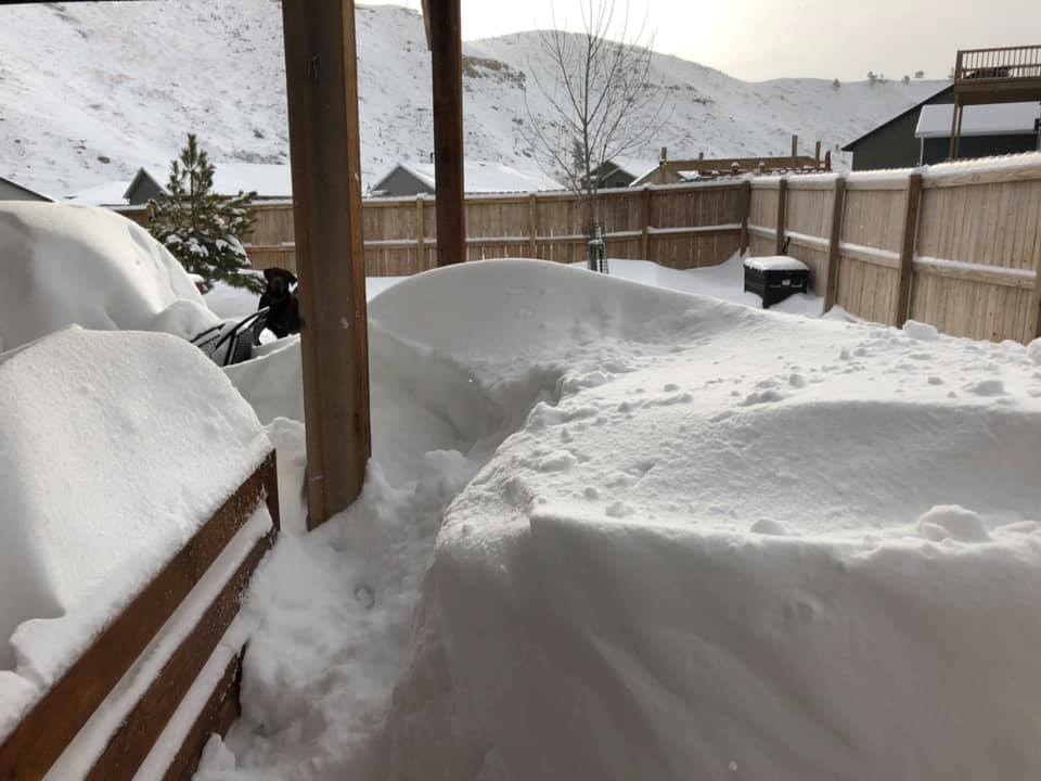
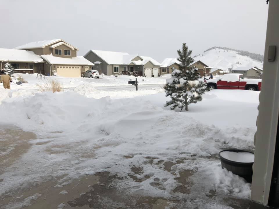
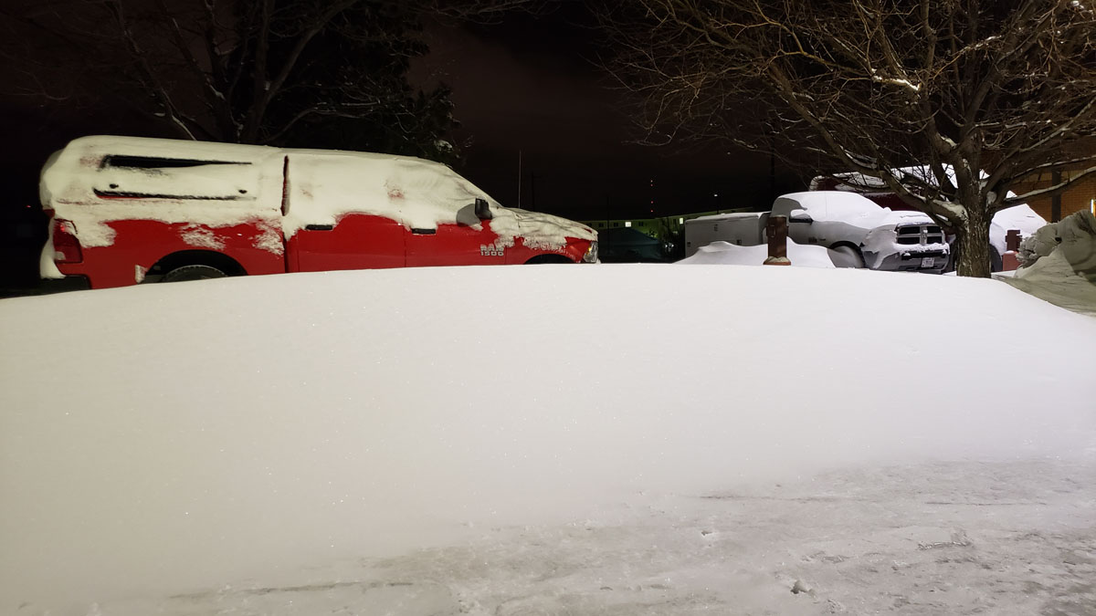
Snow Scenes from around the Area
 |
 |
 |
 |
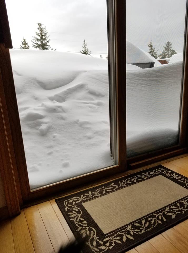
| Galena, SD Photo by Elizabeth K. |
Near Whitewood, SD Photo by Sharon K. |
Boulder Canyon, SD Photo by Kay D. |
Near Whitewood, SD Photo by Tyffany J. |
 |
 |
 |
 |
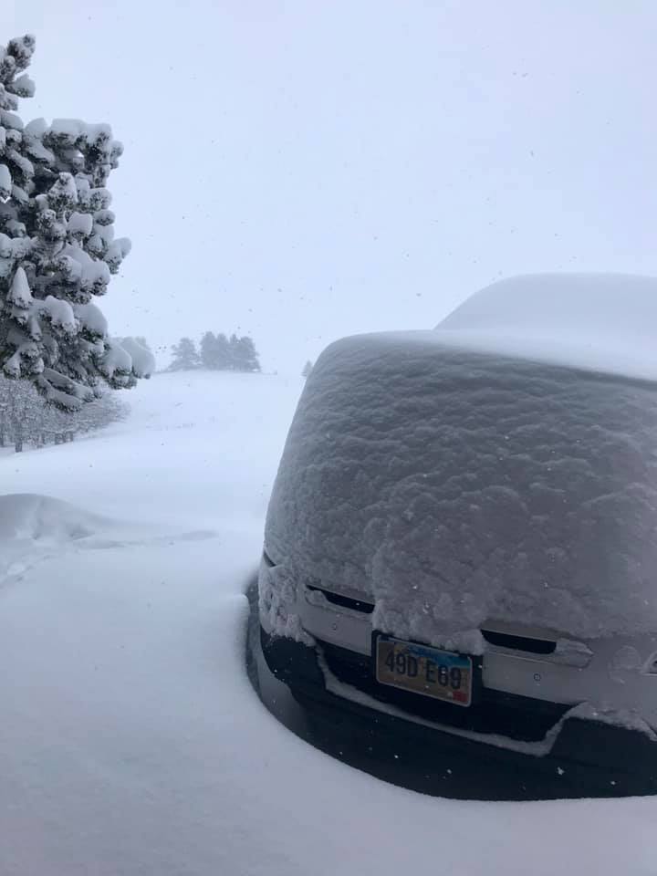
| Box Elder, SD Photo by Jamie G. |
8NNE Box Elder, SD Photo by Melissa S. |
Deadwood, SD Photo by Alison S. |
Deer Mountain, SD Photo by Cathy E. |
 |
 |
 |
 |
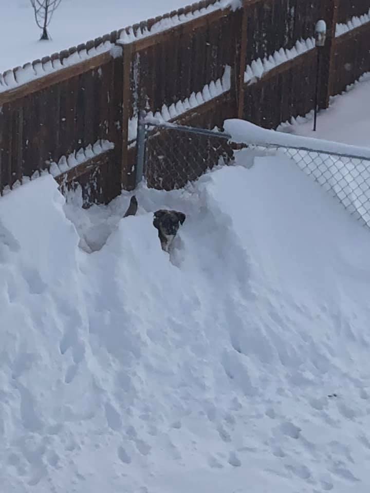
| Nemo, SD Photo by Patrick and April E. |
7E Newell, SD Photo by Simone W. |
6S Rapid City, SD Photo by Robert L. |
Rapid City, SD Photo by Crystal A. |
 |
 |
 |
 |
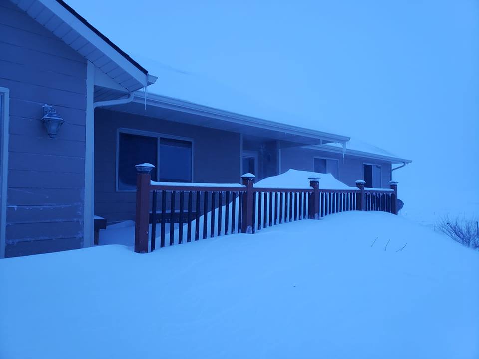
| Summerset, SD Photo by Samantha A. |
Summerset, SD Photo by Samantha A. |
Whitewood, SD Photo by Sandy M. |
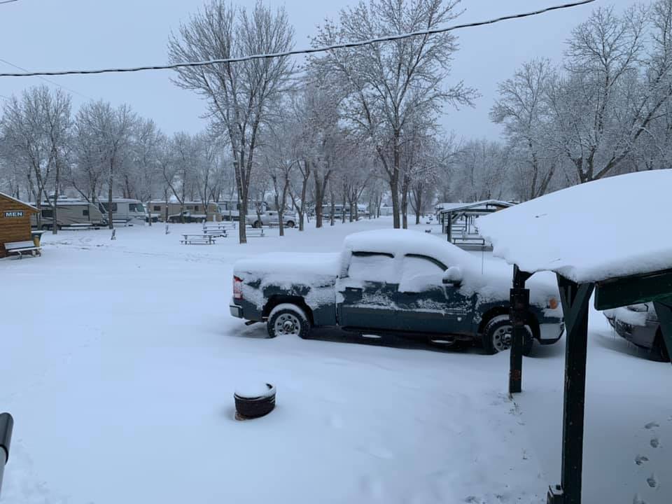
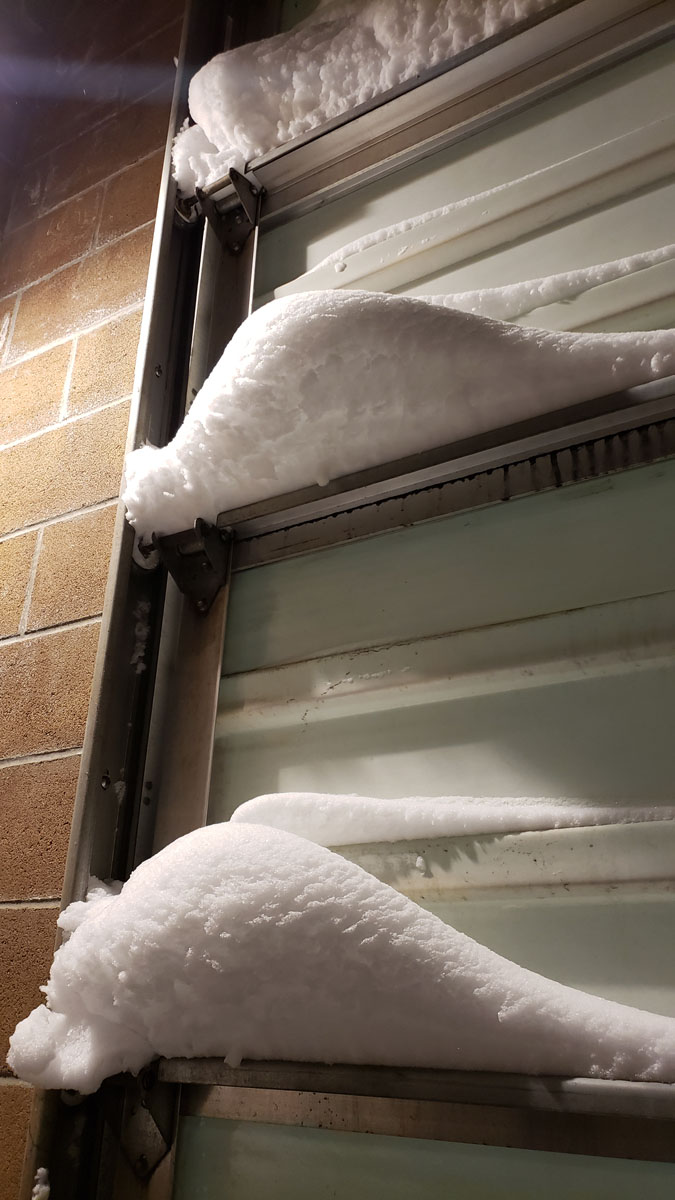
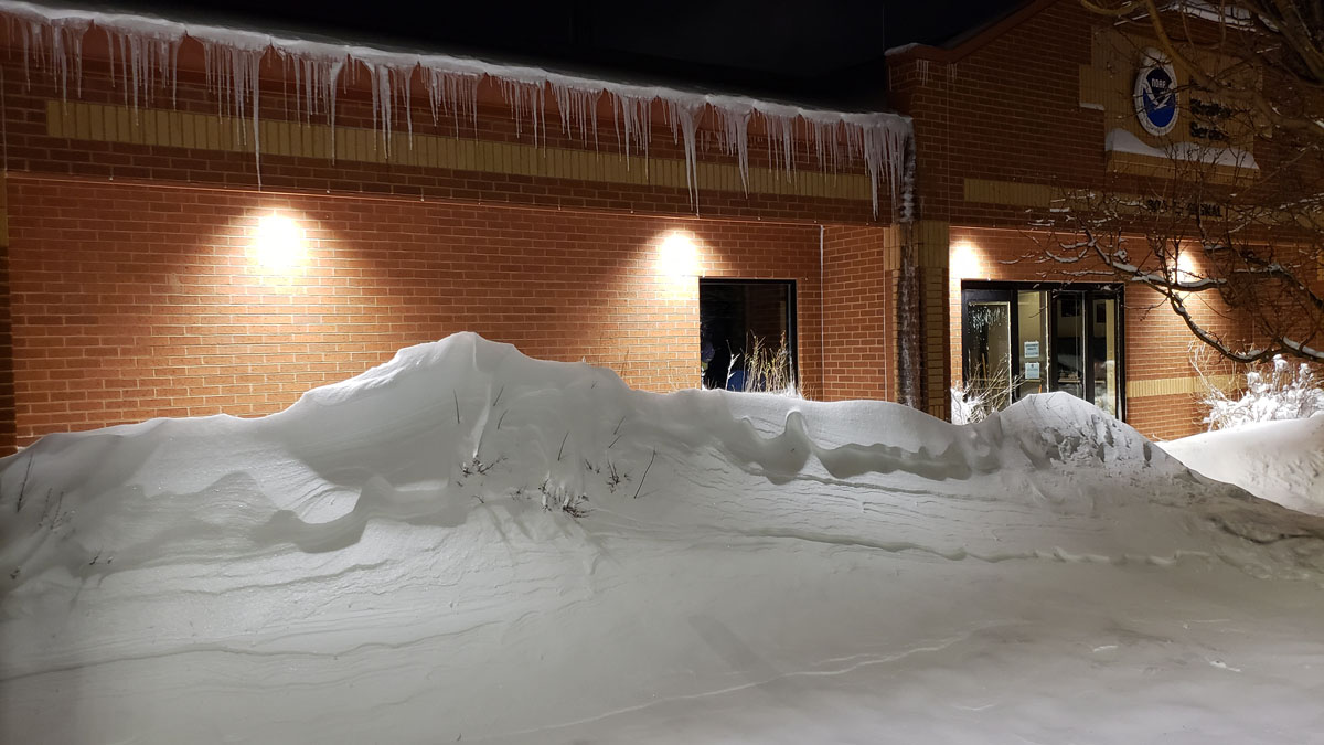
NWS Office Rapid City, SD |
 |
 |
 |
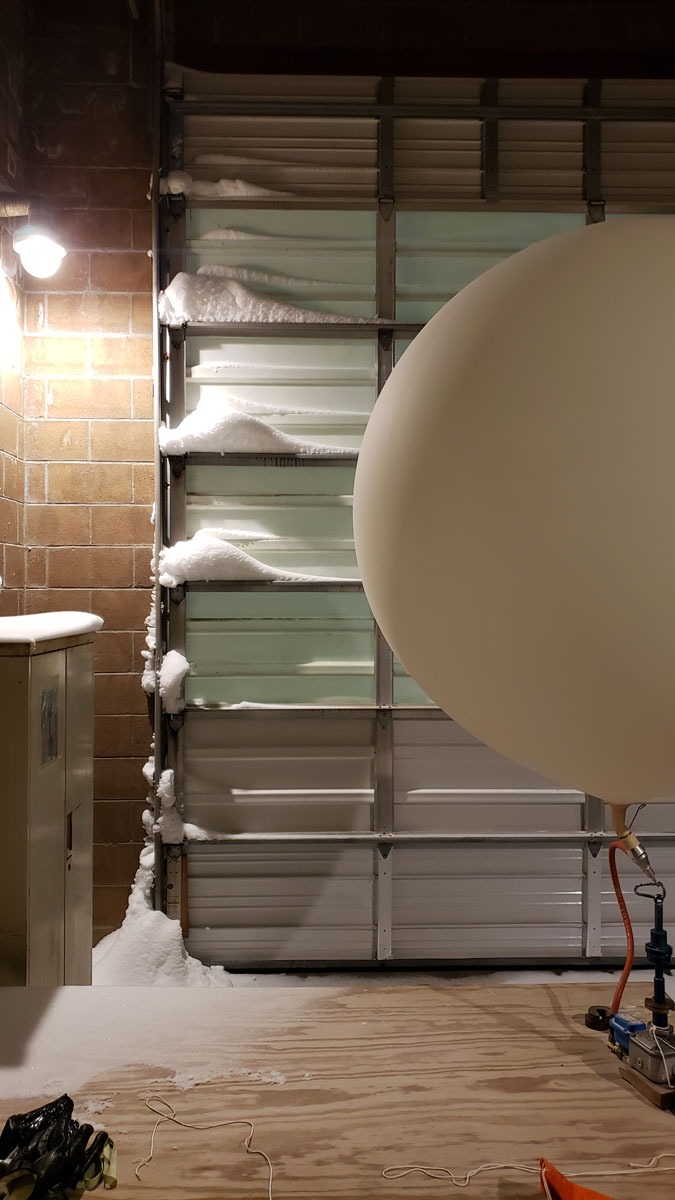 |
| NWS Office Rapid City, SD | NWS Office Rapid City, SD | NWS Office Rapid City, SD | NWS Office Rapid City, SD |
Radar
| Radar Loop from 6 PM MDT Tuesday, April 9 through 7 AM MDT Friday, April 12. |
 |
Media use of NWS Web News Stories is encouraged! Please acknowledge the NWS as the source of any news information accessed from this site. |
|

