
Severe thunderstorms will be possible over parts of the northern Plains today through Thursday which could bring large hail, damaging winds, and possible tornadoes. Today and Wednesday, thunderstorms with heavy to excessive rainfall may produce flooding over parts of the southern High Plains. North Dakota could also see heavy to excessive rainfall today. Read More >
Overview
A series of disturbances associated with a persistent area of low pressure over the western half of the U.S. produced several rounds of heavy precipitation across western South Dakota and northeastern Wyoming, particularly near and east of the Black Hills and over the Cheyenne River and White River basins. This rainfall, coupled with saturated soils from a wet early spring and flooding over the previous week, led to impactful overland and river flooding across much of the area.
Flooding
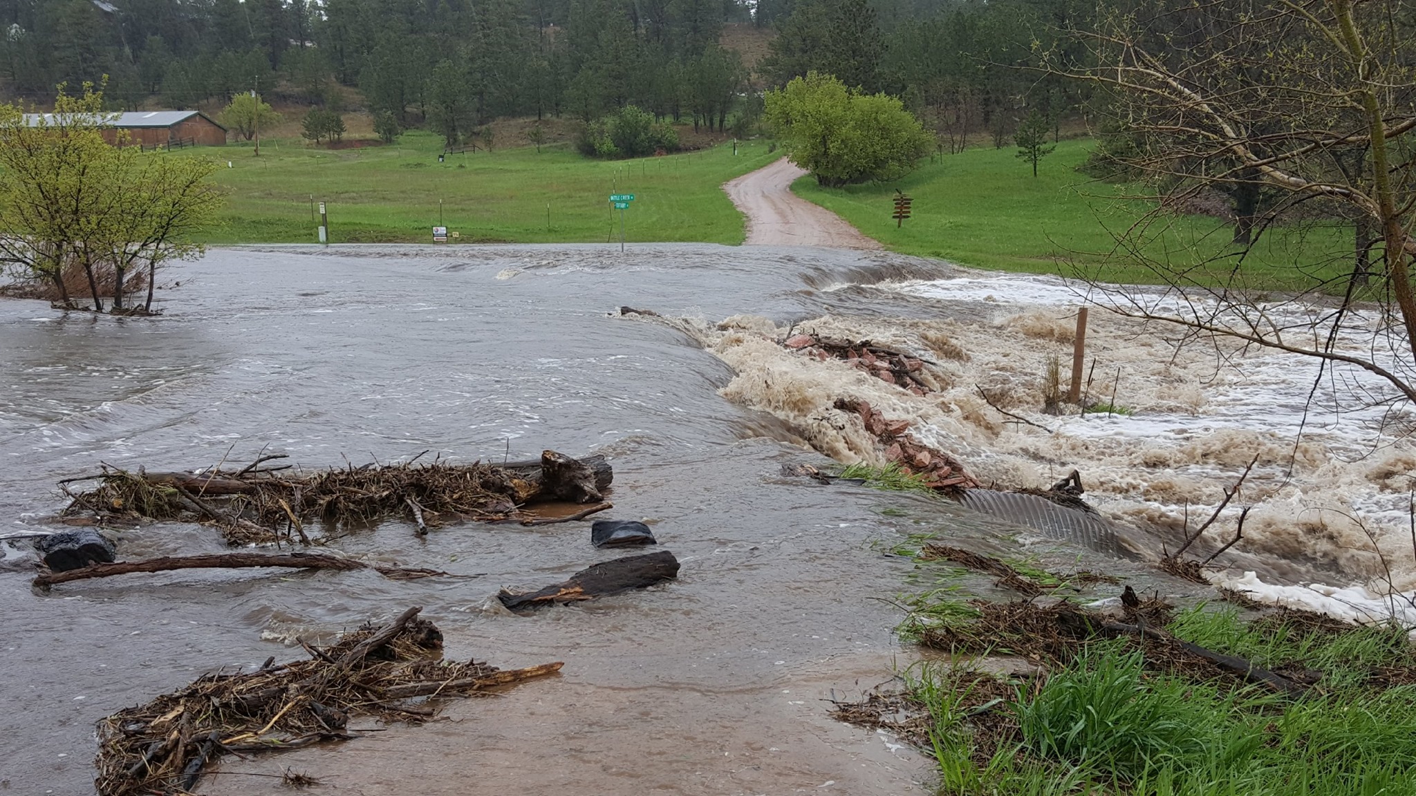
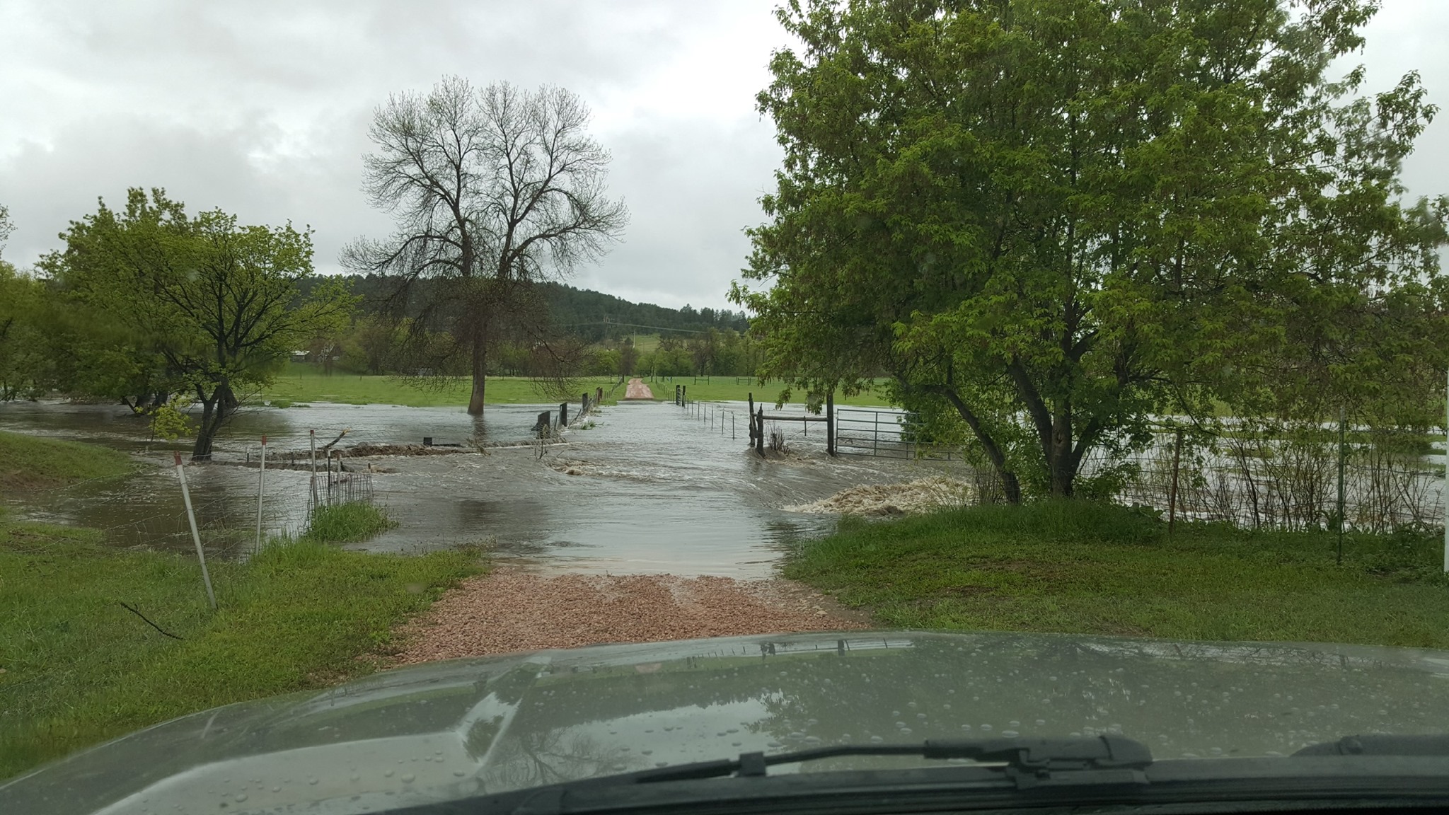
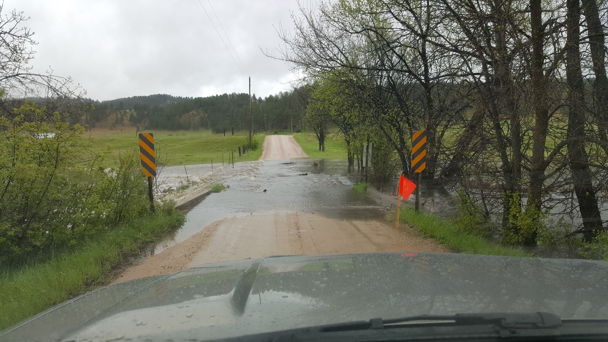
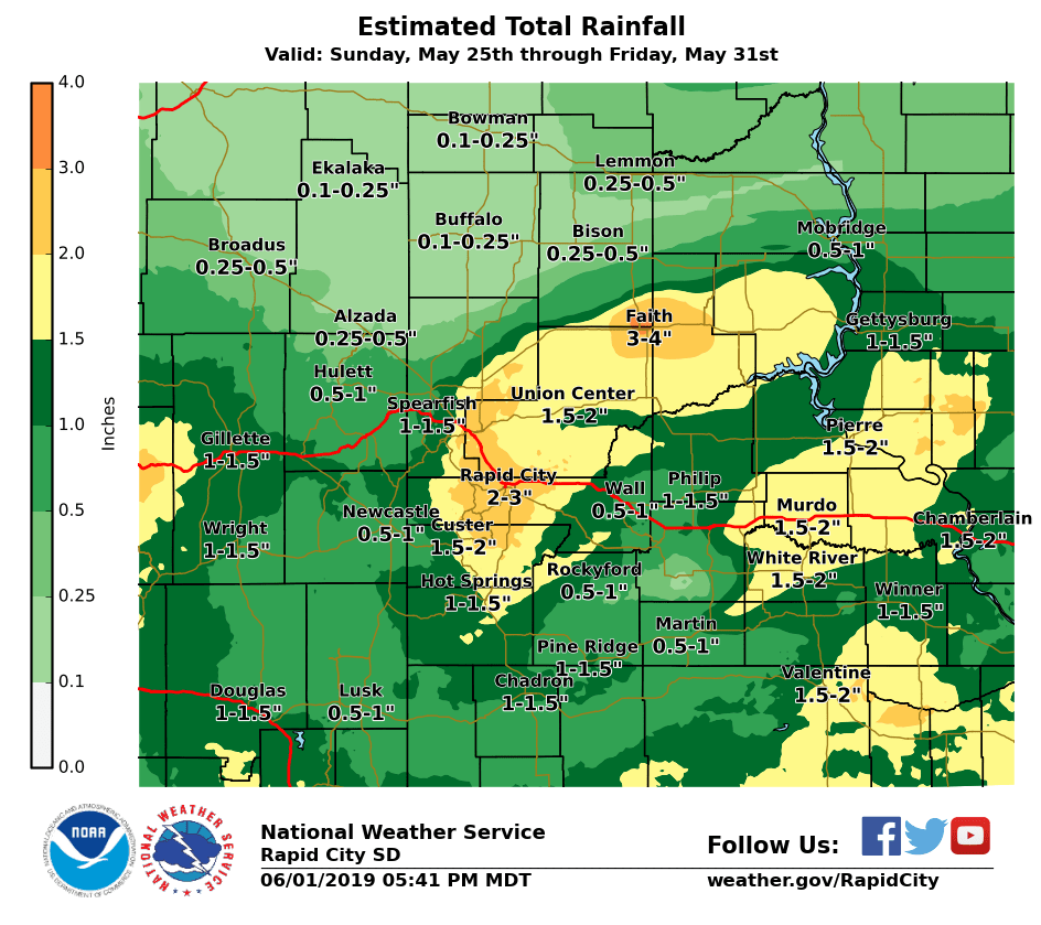
Coming off major to record flooding along area rivers the previous week due to widespread heavy precipitation, conditions were primed for additional flooding as rain began on Sunday the 26th. Heavy rainfall of up to 4" was observed near Faith over the north central South Dakota plains, while 1-2" of rain fell over portions of the White River basin. This was the start of several days worth of heavy rain and flooding across portions of the area, which eventually affected much of the South Dakota plains and foothills, along with portions of northeastern Wyoming along the Belle Fourche River and Powder River. The event culminated with heavy rainfall and thunderstorms over the Rapid City area during the afternoon and evening of May 31st, which led to widespread flooded roadways and multiple water rescues.
Photos and Video
 |
 |
 |
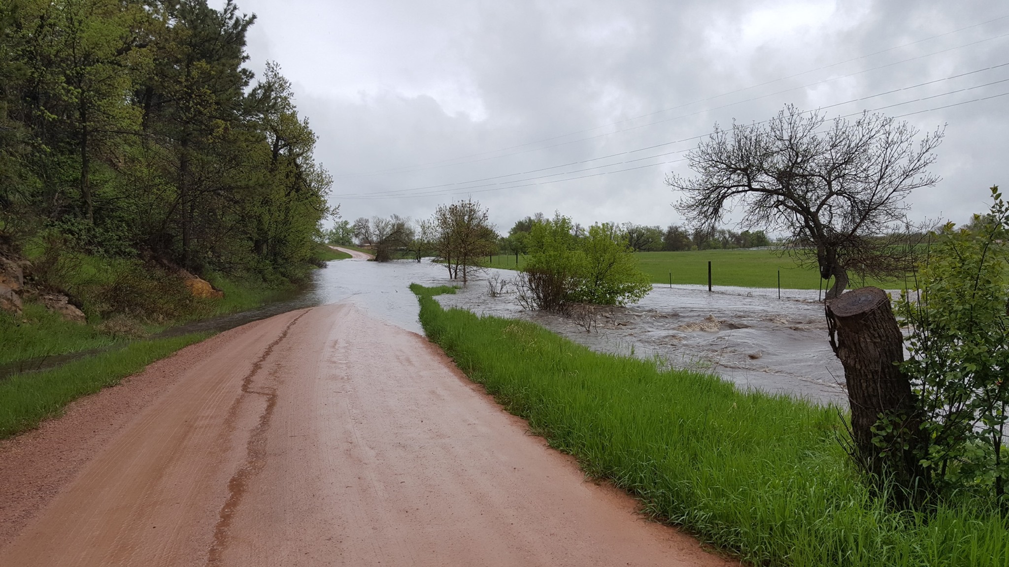 |
| Flooding near Hermosa on May 28th. Images courtesy of the Battle Creek Fire Department. | |||
Flooding along South Valley Drive in Rapid Valley on May 28th. Video courtesy of the Rapid City Police Department.
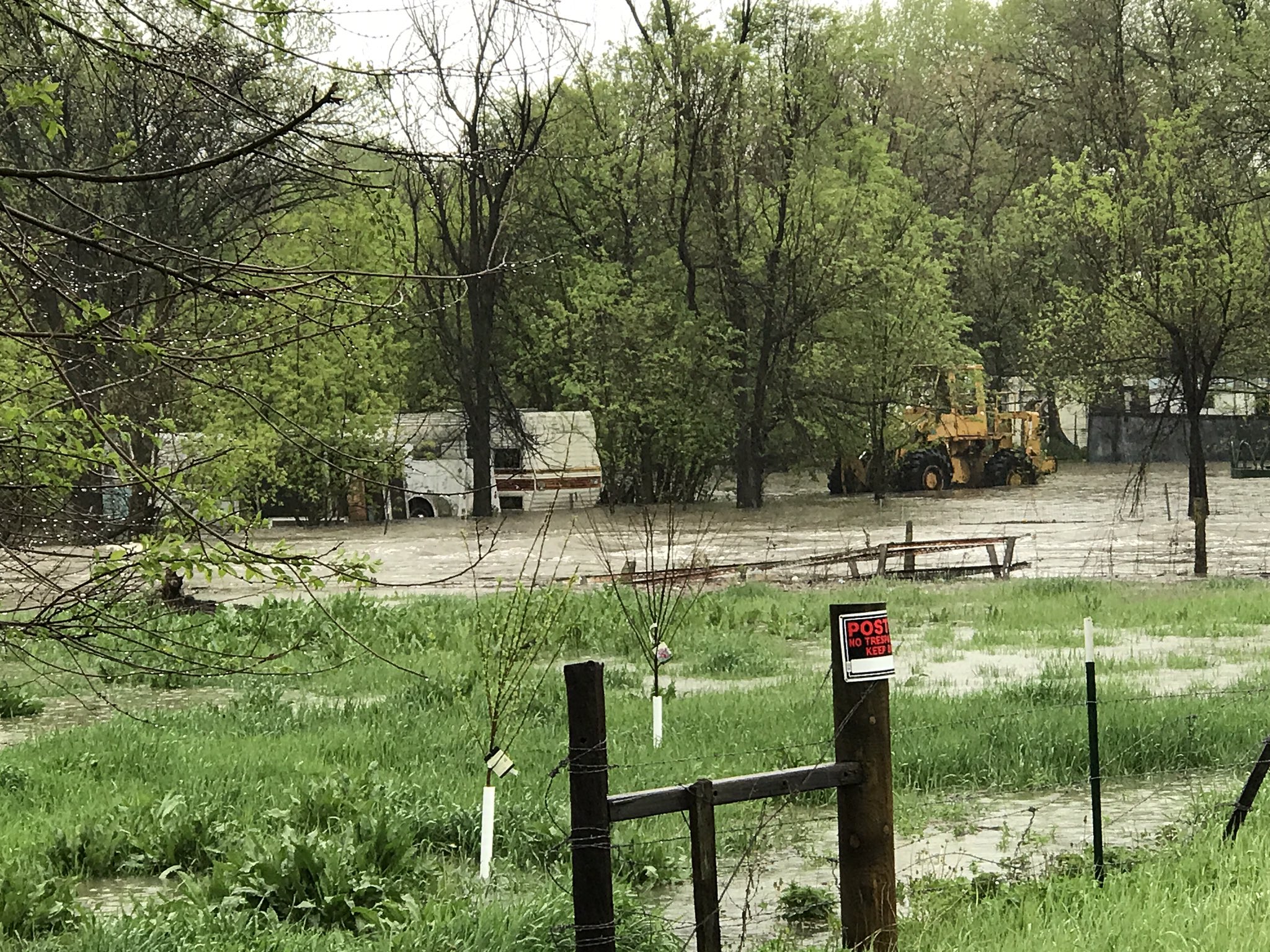 |
 |
| Flooding on Melody Lane and South Valley Drive in Rapid Valley on May 28th. This flooding prompted evacuations. Photos courtesy of the Rapid City Fire Department. |
|
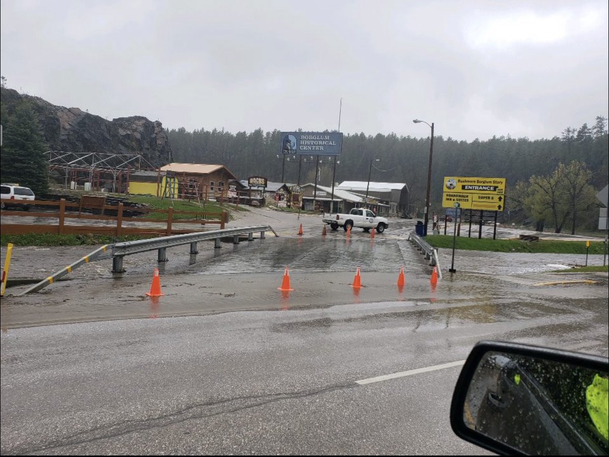 |
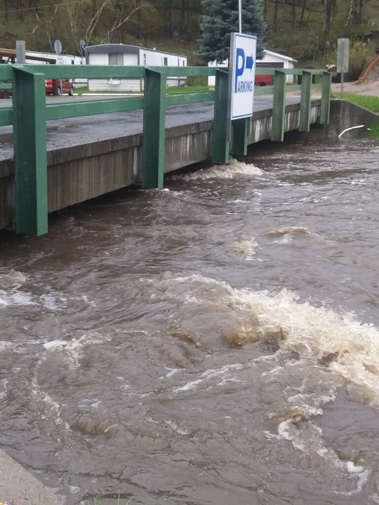 |
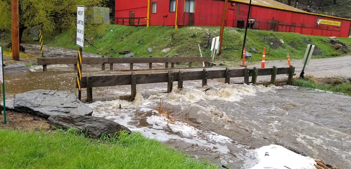 |
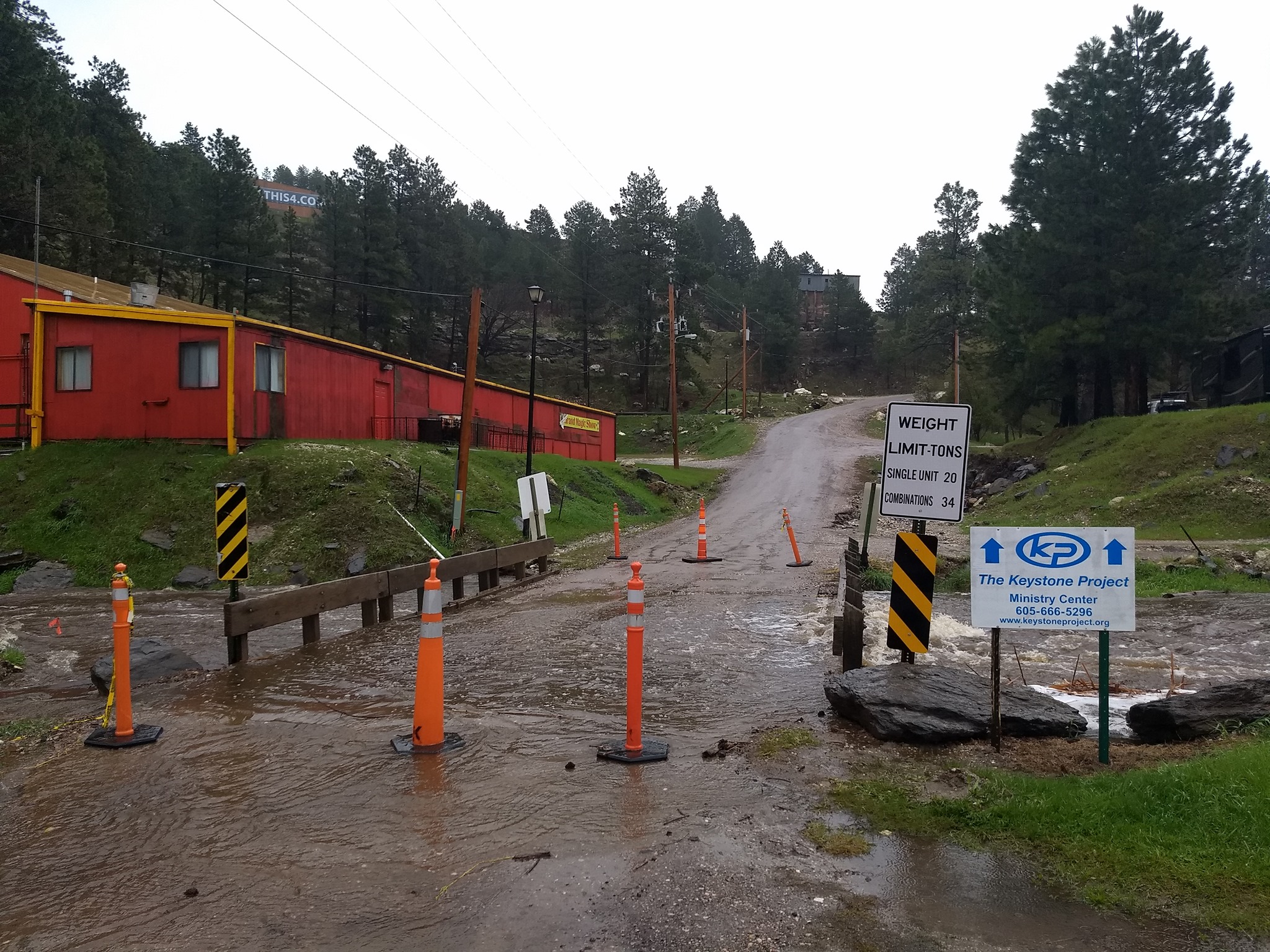
| Flooding in and near Keystone on May 28th. Photos courtesy of the Pennington County Sheriff's Office. | ||
 |
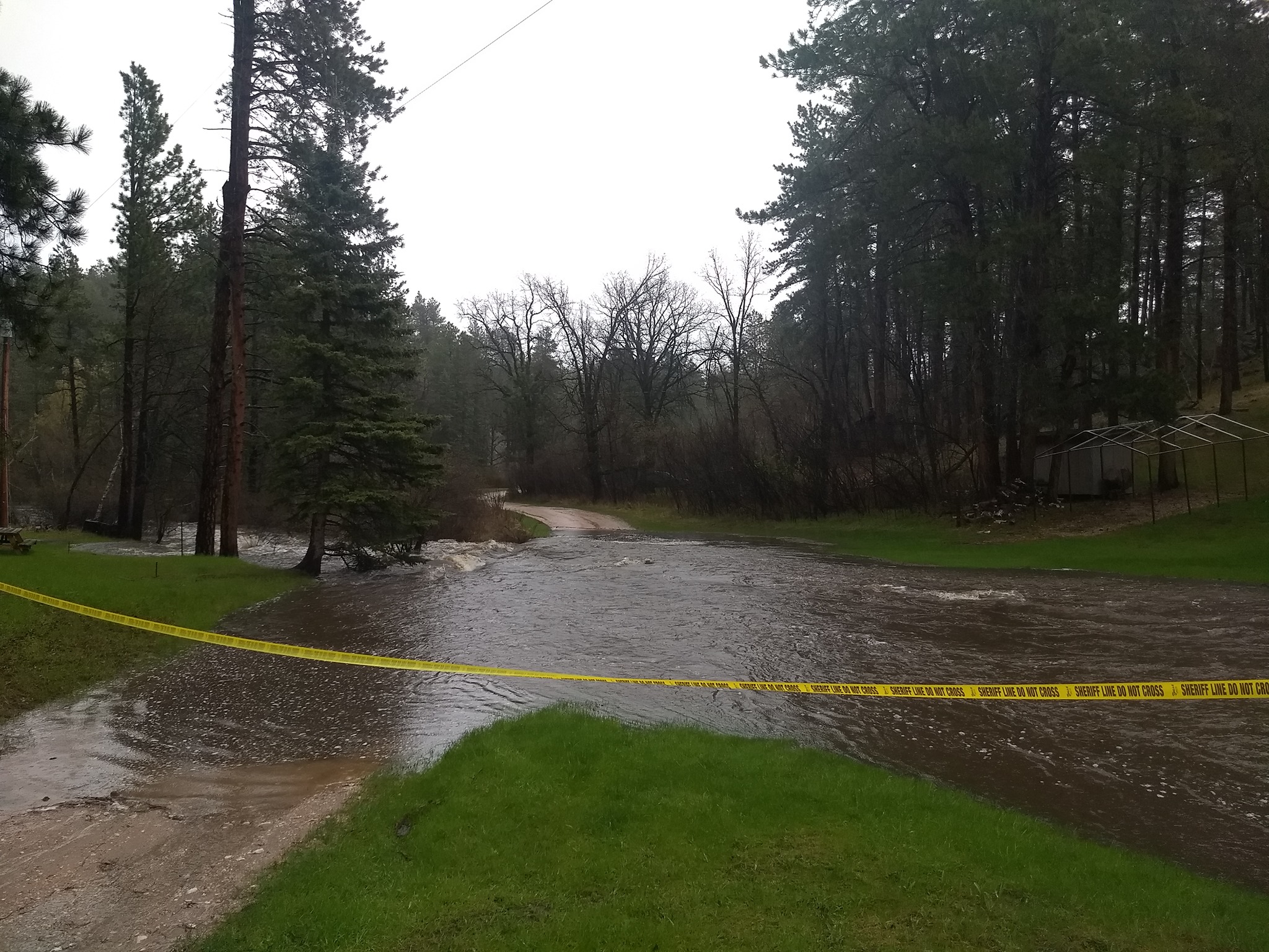 |
| Flooding near Keystone on May 28th. Photos courtesy of the Battle Creek Fire Department. | |
Observed Radar Loops
Sunday, May 26th, 2019
Monday, May 27th, 2019
Tuesday, May 28, 2019
Friday, May 31, 2019
Rainfall Estimates
 |
Media use of NWS Web News Stories is encouraged! Please acknowledge the NWS as the source of any news information accessed from this site. |
|



 Follow us on X
 Follow us on Facebook
 Follow us on YouTube
 UNR RSS Feed