Dangerous heat will expand from the Gulf Coast into the Southern Plains and Desert Southwest through week's end. Additional extreme heat impacting the Pacific Northwest will shift to the northern Plains by the weekend. Tropical Storm Bertha is expected to continue to impact portions of the northwestern Gulf Coast from south central Louisiana to the upper Texas coast today. Read More >
Overview
|
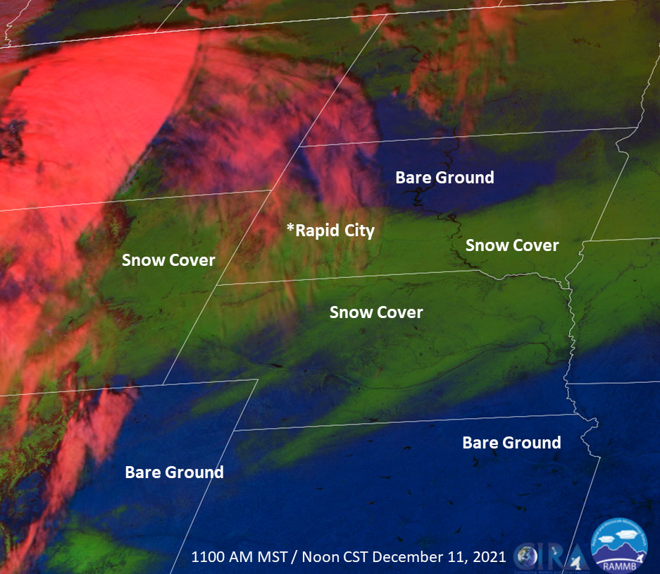
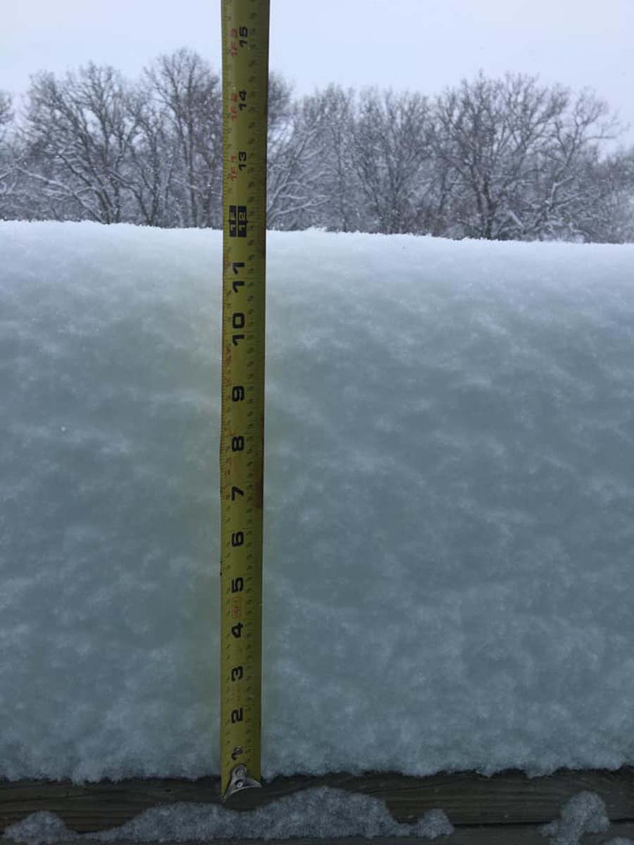
December 9-10, 2021, a strong winter storm tracked across the central Rockies and through much of eastern Wyoming, northern Nebraska, and southern South Dakota. The storm brought heavy snow to much of the Black Hills, especially central and southern portions, as well as southwest and south central South Dakota. Snowfall amounts of 8 to 15 inches were reported over much of southwest to south central South Dakota, with localized amounts to near 20 inches over eastern parts of Fall River County. Across northeast Wyoming, amounts of 4 to 10 inches were reported over southern portions, with the highest amounts generally in the Newcastle area. Snowfall amounts tapered off significantly to the north of Interstate 90, with little or no snowfall over northwest South Dakota.
|
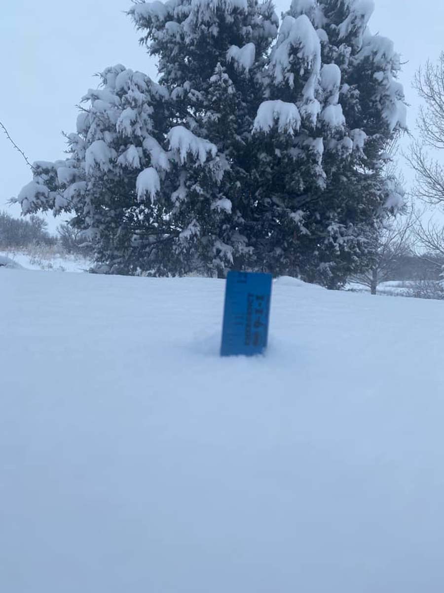
 South of Edgemont, SD Courtesy Margaret M. |
Snow
Here is a preliminary snowfall map with a tabular list below it.
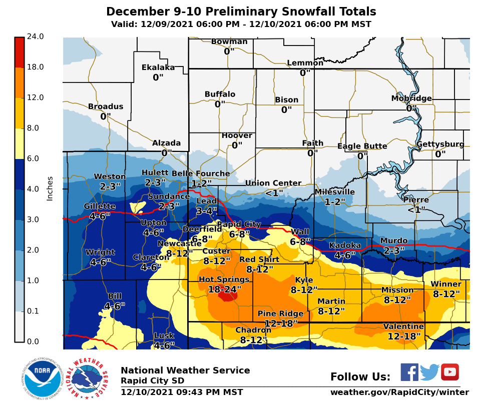
LOCATION                      SNOWFALL    COMMENTS
                               IN/S/

Hot Springs SD                 20.0       1200 PM 12/10/2021
Smithwick SD                   18.5        350 PM 12/10/2021
1 W Angostura Resv SD          18.0        545 PM 12/10/2021
11 W Hot Springs SD            15.0        615 AM 12/10/2021
Argyle SD                      14.0       1050 AM 12/10/2021
2 N Oglala SD                  14.0        530 PM 12/10/2021
2 E Oral SD                    14.0        621 AM 12/10/2021
9 E Pine Ridge SD              13.0        925 AM 12/10/2021
5 W Hot Springs SD             13.0        721 AM 12/10/2021
7 WNW Hermosa SD               13.0        911 AM 12/10/2021
Mission SD                     12.3        500 PM 12/10/2021
Okreek SD                      12.0       1100 AM 12/10/2021
Newcastle WY                   12.0        415 PM 12/10/2021
18 S Interior SD               11.5       1030 AM 12/10/2021
Wanblee SD                     10.0        915 AM 12/10/2021
Kyle SD                        10.0        910 AM 12/10/2021
Long Valley SD                 10.0        636 AM 12/10/2021
Martin SD                       9.5        751 AM 12/10/2021
1 S Rockerville SD              9.5        730 AM 12/10/2021
12 N Allen SD                   9.5        905 AM 12/10/2021
3 NW Hermosa SD                 9.0        610 PM 12/10/2021
Mount Rushmore SD               9.0       1152 AM 12/10/2021
8 SE Interior SD                9.0        732 AM 12/10/2021
8 E Martin SD                   9.0        600 PM 12/10/2021
5 NE Winner SD                  9.0        856 AM 12/10/2021
Interior SD                     9.0        740 AM 12/10/2021
4 NE Rockerville SD             8.9        150 PM 12/10/2021
Hill City SD                    8.5        943 AM 12/10/2021
5 WNW Hermosa SD                8.5        918 AM 12/10/2021
5 ENE Custer SD                 8.5        600 PM 12/10/2021
5 ESE Norris SD                 8.5        600 PM 12/10/2021
1 E Custer SD                   8.0        200 PM 12/10/2021
1 SW Hermosa SD                 8.0        835 AM 12/10/2021
4 S Dwtn Rapid City SD          8.0       1259 PM 12/10/2021
1 W Newcastle WY                8.0        748 AM 12/10/2021
5 SW Dwtn Rapid City SD         8.0        200 PM 12/10/2021
4 SE Keystone SD                8.0        753 AM 12/10/2021
8 NNE Jewel Cave SD             8.0        605 AM 12/10/2021
3 SSE SILVER CITY SD            7.5        120 PM 12/10/2021
5 NNE Rockerville SD            7.4        620 AM 12/10/2021
7 SW Rapid City Arpt SD         7.3       1100 AM 12/10/2021
Pactola Resv SD                 7.0        800 AM 12/10/2021
1 E Dwtn Rapid City SD          7.0        600 PM 12/10/2021
Custer SD                       7.0        723 AM 12/10/2021
Box Elder SD                    7.0        906 AM 12/10/2021
Hayward SD                      7.0        805 AM 12/10/2021
4 WNW Rapid City Arpt SD        6.8        250 PM 12/10/2021
2 E Dwtn Rapid City SD          6.0        905 AM 12/10/2021
1 W Box Elder SD                6.0       1104 AM 12/10/2021
1 SSE Carlile WY                6.0        937 AM 12/10/2021
3 S Dwtn Rapid City SD          6.0       1010 AM 12/10/2021
4 SW Dwtn Rapid City SD         5.5        640 AM 12/10/2021
Black Hawk SD                   5.0        608 AM 12/10/2021
4 SE Dwtn Gillette WY           4.8        400 PM 12/10/2021
1 WNW Caputa SD                 4.7        640 AM 12/10/2021
5 ESE Elm Springs SD            4.5        158 PM 12/10/2021
5 WNW Rapid City Arpt SD        4.0        552 AM 12/10/2021
Johnson Siding SD               4.0        607 AM 12/10/2021
2 W Dwtn Rapid City SD          4.0        606 AM 12/10/2021
Piedmont SD                     3.8        829 AM 12/10/2021
Lead SD                         3.5        743 AM 12/10/2021
2 E Cottonwood SD               3.3        643 AM 12/10/2021
Dwtn Gillette WY                3.0        527 AM 12/10/2021
Summerset SD                    3.0        636 AM 12/10/2021
Dwtn Spearfish SD               1.5        724 AM 12/10/2021
7 E Sturgis SD                  1.2        510 AM 12/10/2021
5 NE Milesville SD              1.0        600 PM 12/10/2021
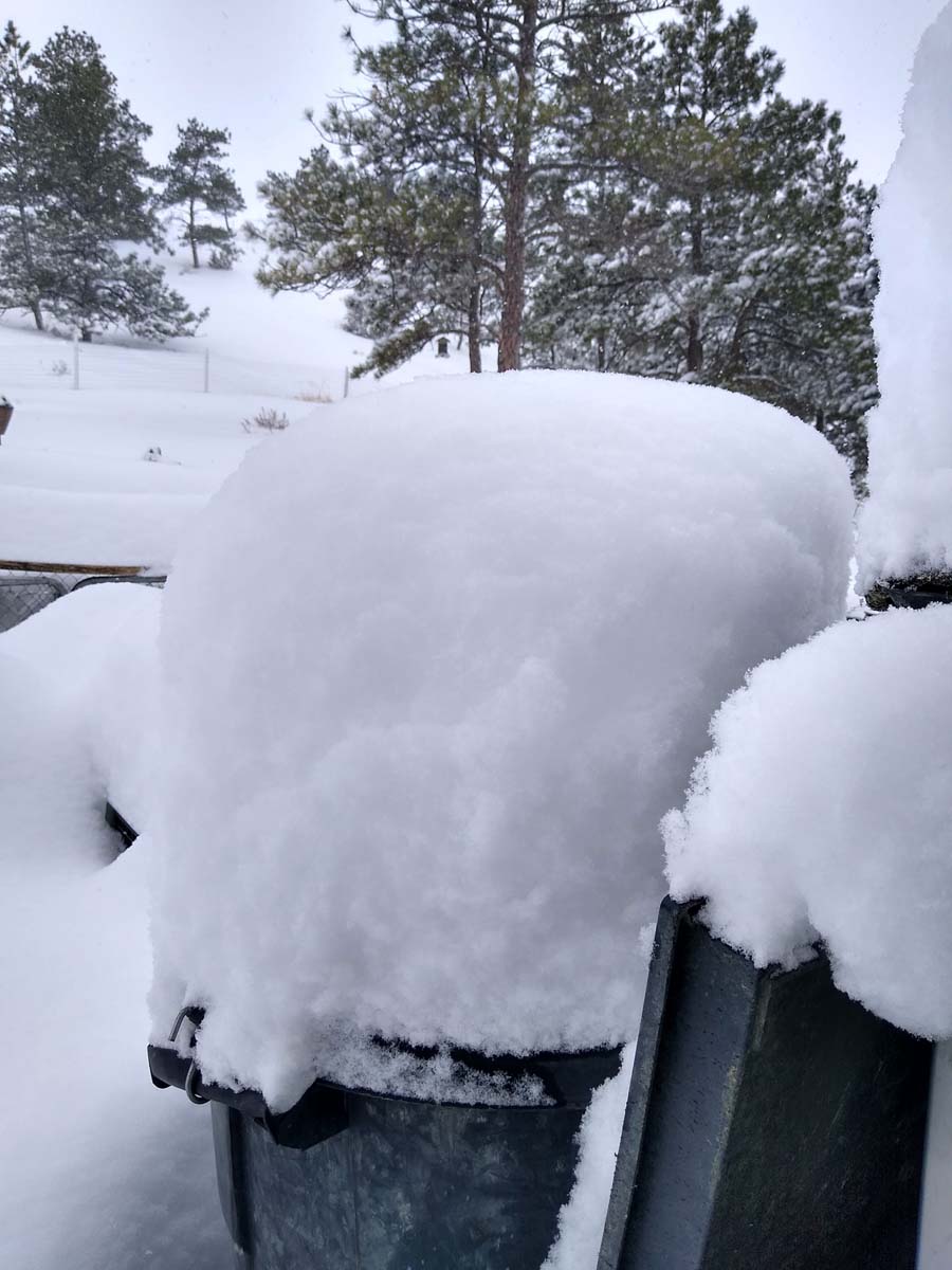
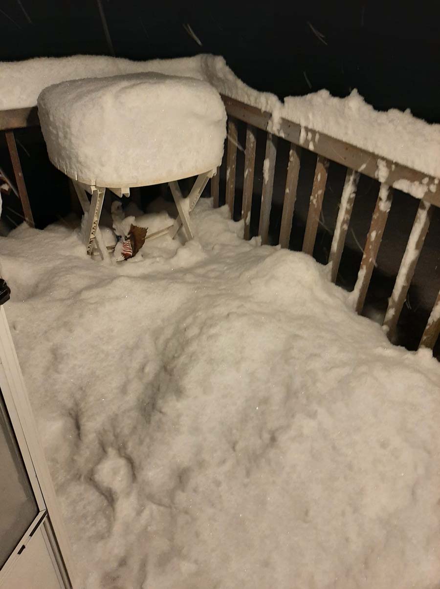
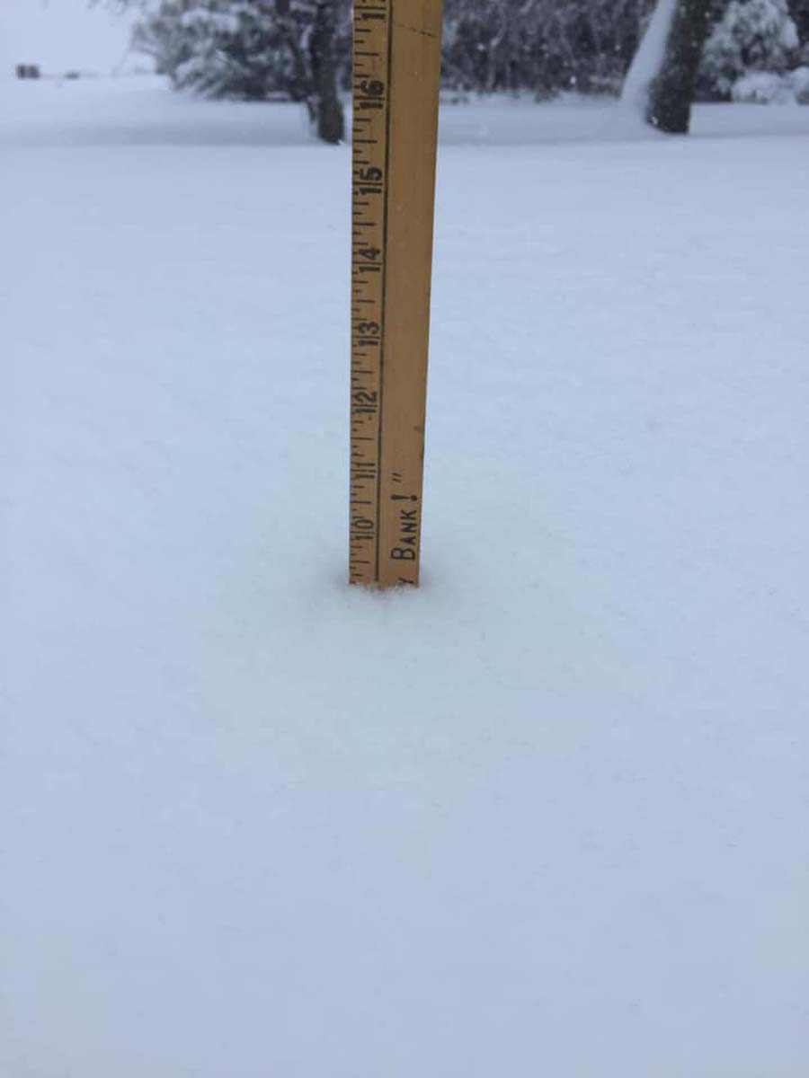
Photos
 |
 |
 |
 |
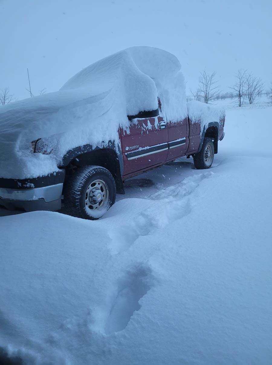
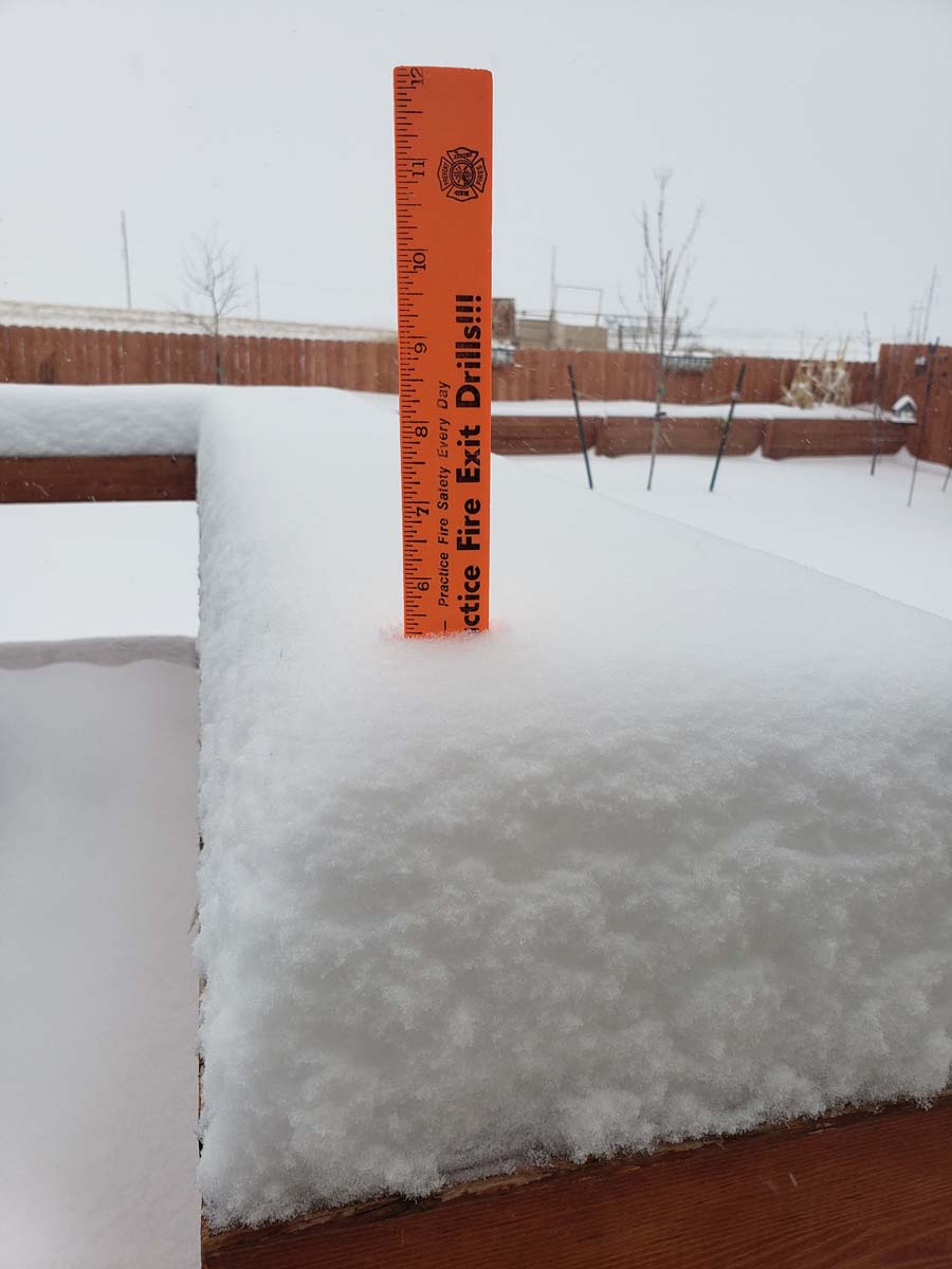
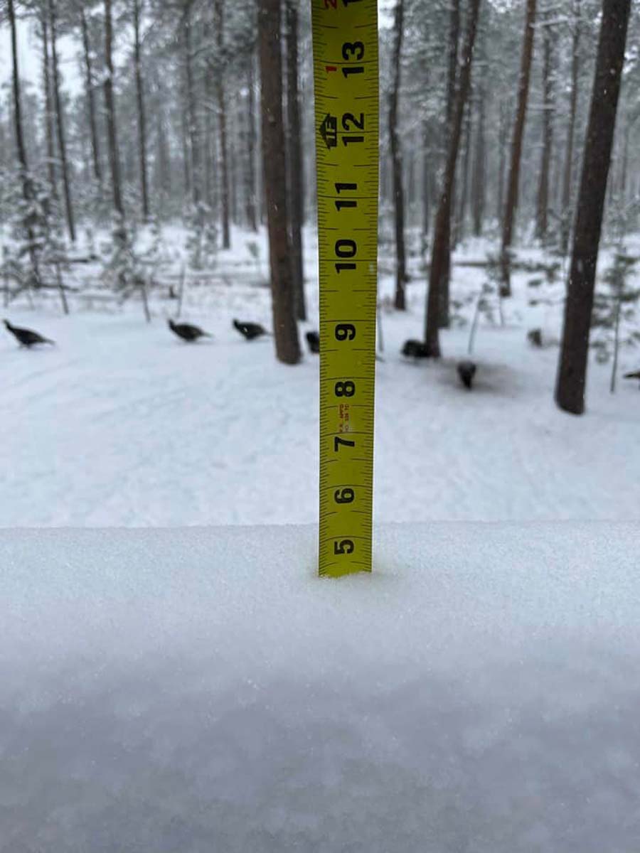
| 1.5E Oral, SD Courtesy Kate R. |
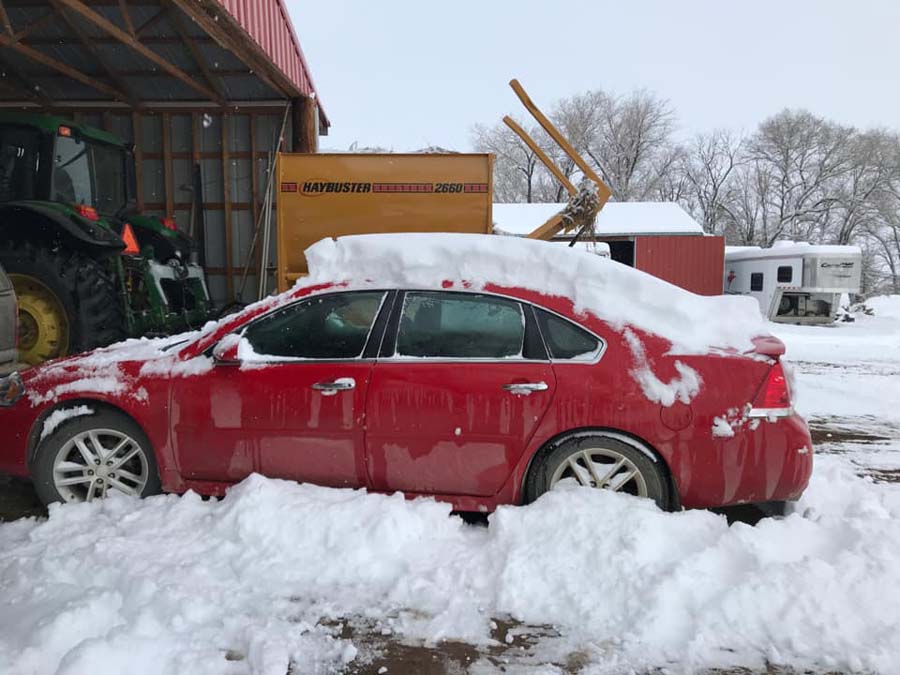
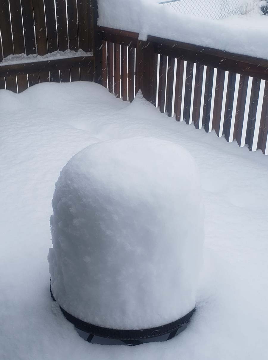
1N Angostura Reservoir, SD Courtesy Pam B. |
3NW Hermosa, SD Courtesy Edna S. |
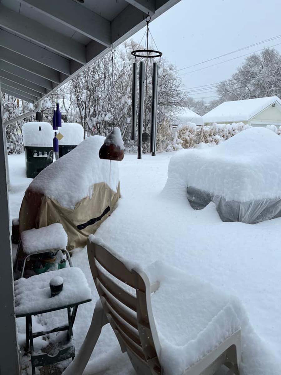
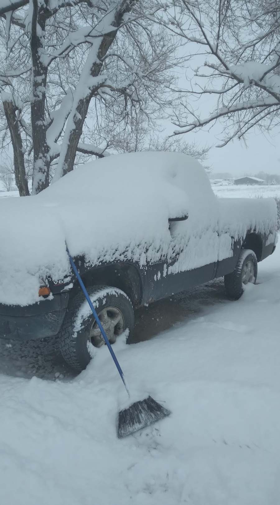
NWS Office Rapid City, SD |
 |
 |
 |
 |
| 7SW Rapid City, SD Courtesy Emily H. |
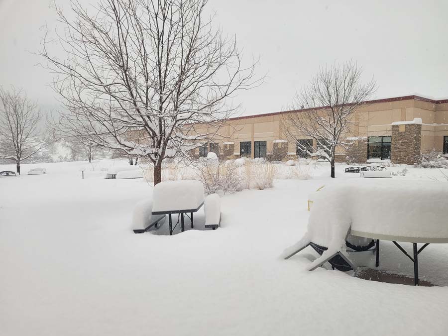
Gillette, WY Courtesy Veronica V. |
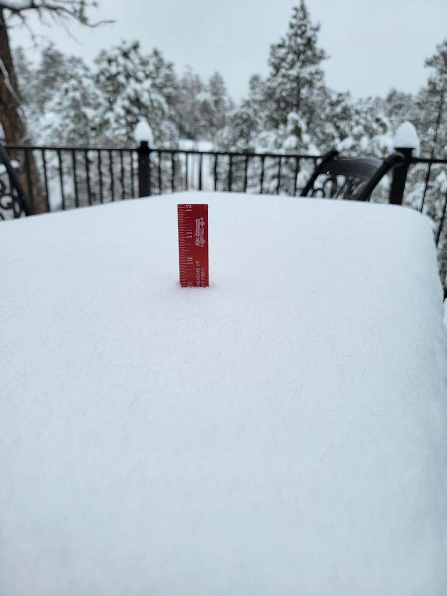
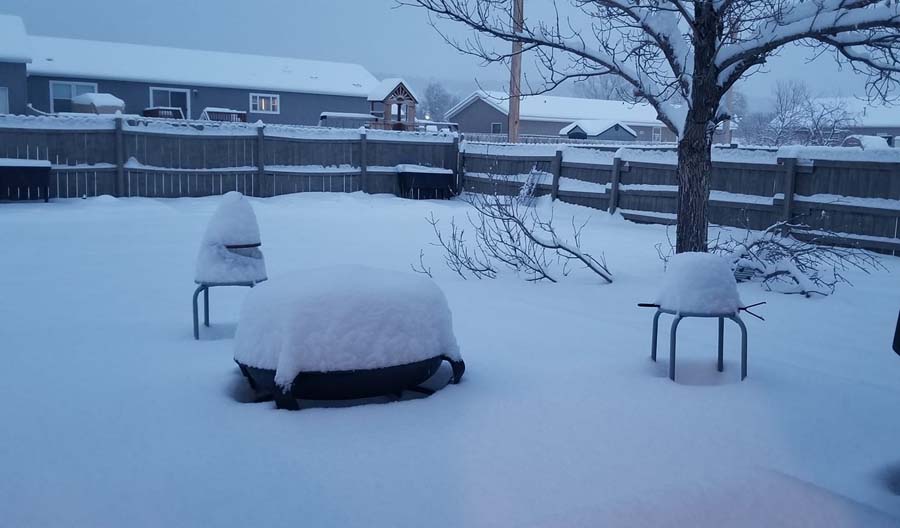
Hot Springs, SD Courtesy Kris P-A. |
Hot Springs, SD Courtesy Krista K. |
 |
 |
 |
 |
| Hot Springs, SD Courtesy Pam B. |
Kyle, SD Courtesy Calest W. |
Manderson, SD Courtesy Doris R. |
Merritt, SD Courtesy Rob R. |
 |
 |
 |
|
| 1.5E Oral, SD Courtesy Kate R. |
1N Angostura Reservoir, SD Courtesy Pam B. |
White River, SD Courtesy Criss A. |
Winner, SD Courtesy Lynn T. |
Radar
 |
Media use of NWS Web News Stories is encouraged! Please acknowledge the NWS as the source of any news information accessed from this site. |
|