Campbell County's Weather Support Page
Interactive Hazard Map and Regional Radar
To view hazards legend: Stop the loop, step to the end, and use the alerts drop-down. View full radar page here.
Click here for a static hazards map.
Forecast Overview
(mouse over day or period to see map below)
| Max Temperature | Day 1 | Day 2 | Day 3 | Day 4 | Day 5 | |||||
| Min Temperature | Day 1 | Day 2 | Day 3 | Day 4 | Day 5 | |||||
| Wind Chill | Period 1 | Period 2 | Period 3 | Period 4 | Period 5 | Period 6 | Period 7 | Period 8 | Period 9 | |
| Max Wind Gust | Period 1 | Period 2 | Period 3 | Period 4 | Period 5 | Period 6 | Period 7 | Period 8 | Period 9 | |
| Chance of Precip | Period 1 | Period 2 | Period 3 | Period 4 | Period 5 | Period 6 | Period 7 | Period 8 | Period 9 | |
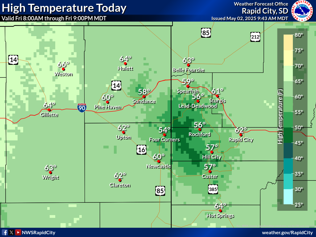 |
||||||||||
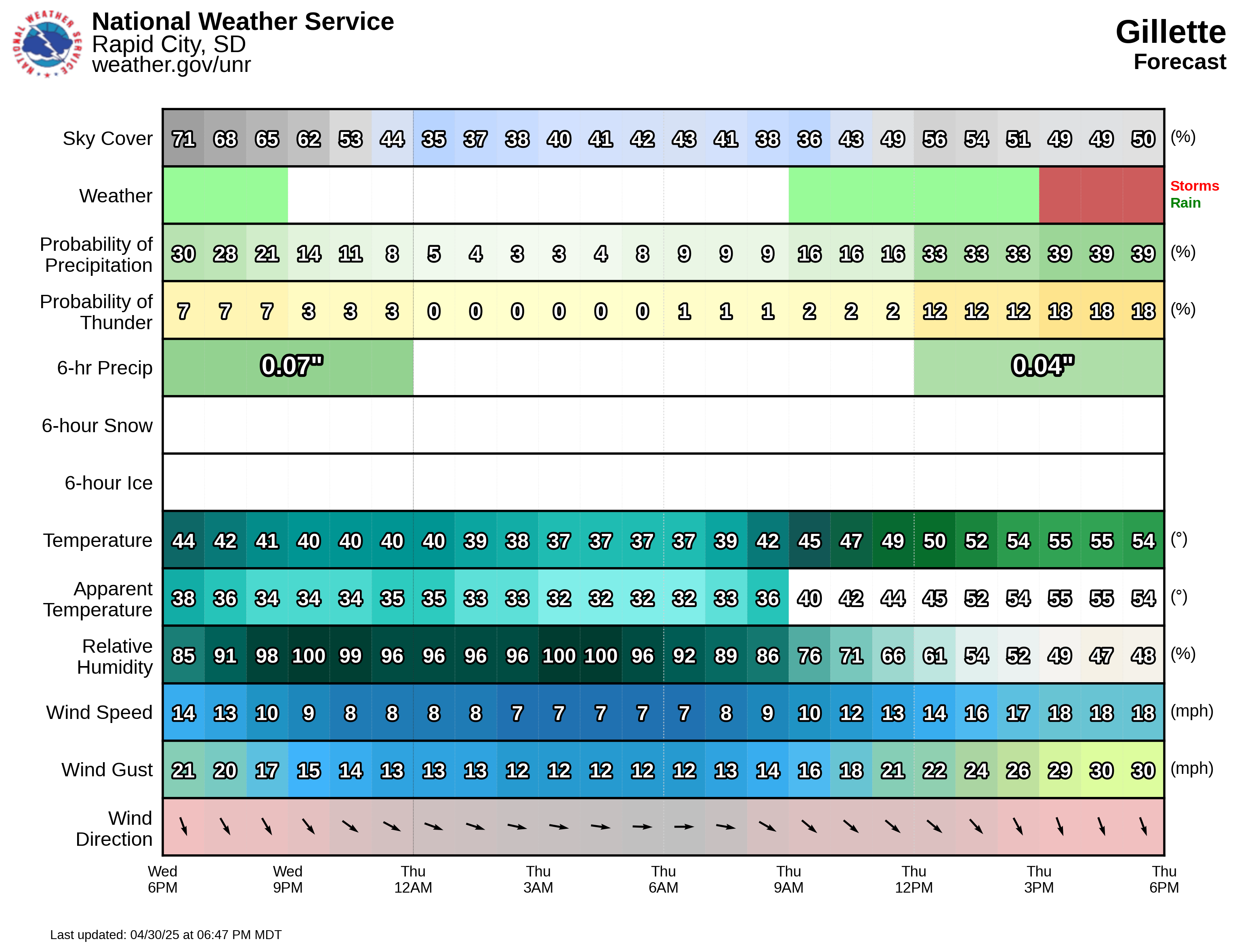
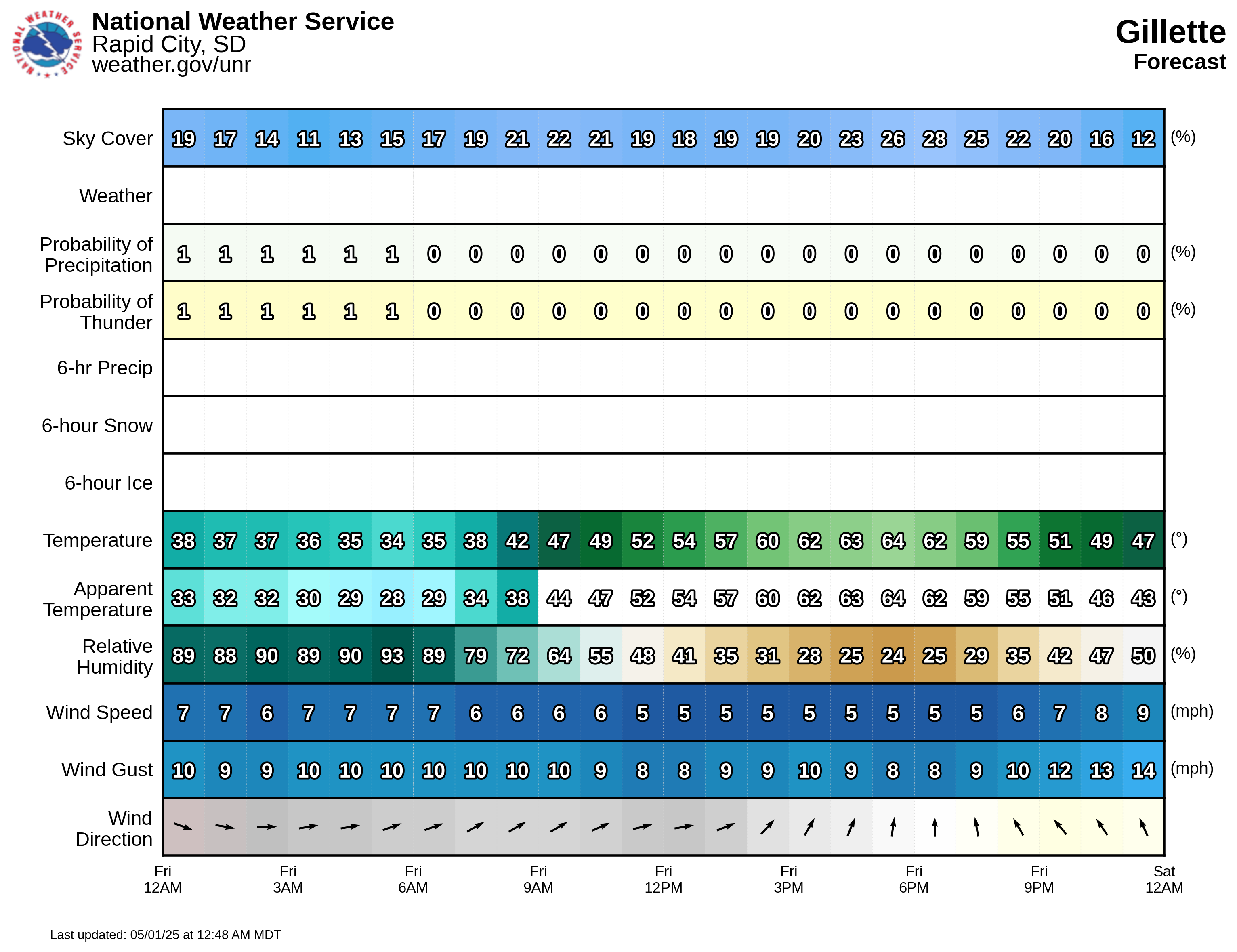
Detailed Forecast
Day 1
Day 2
Day 3
Day 4
Day 5
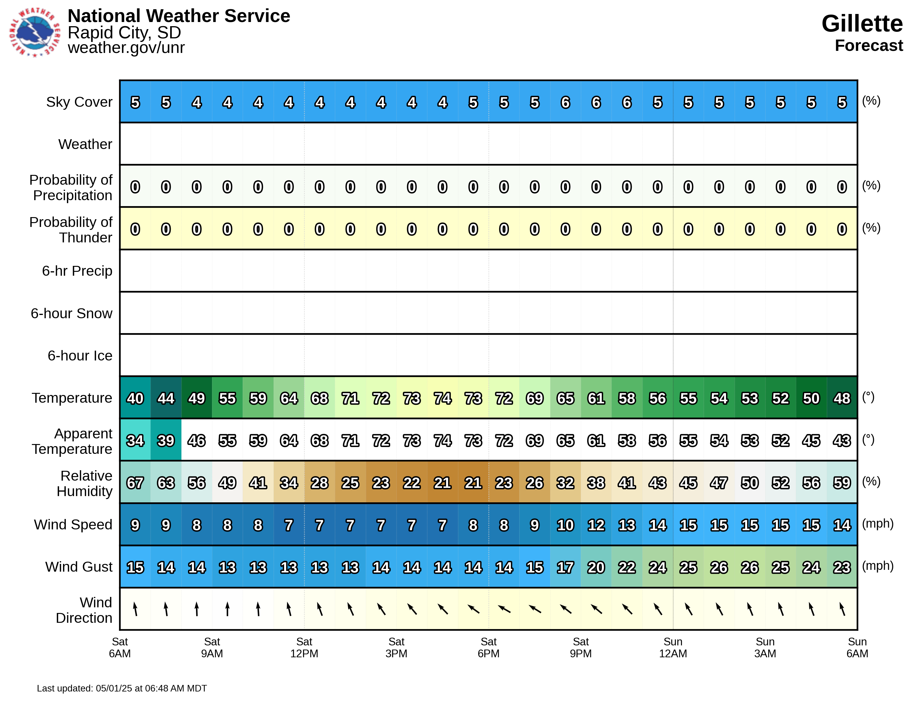

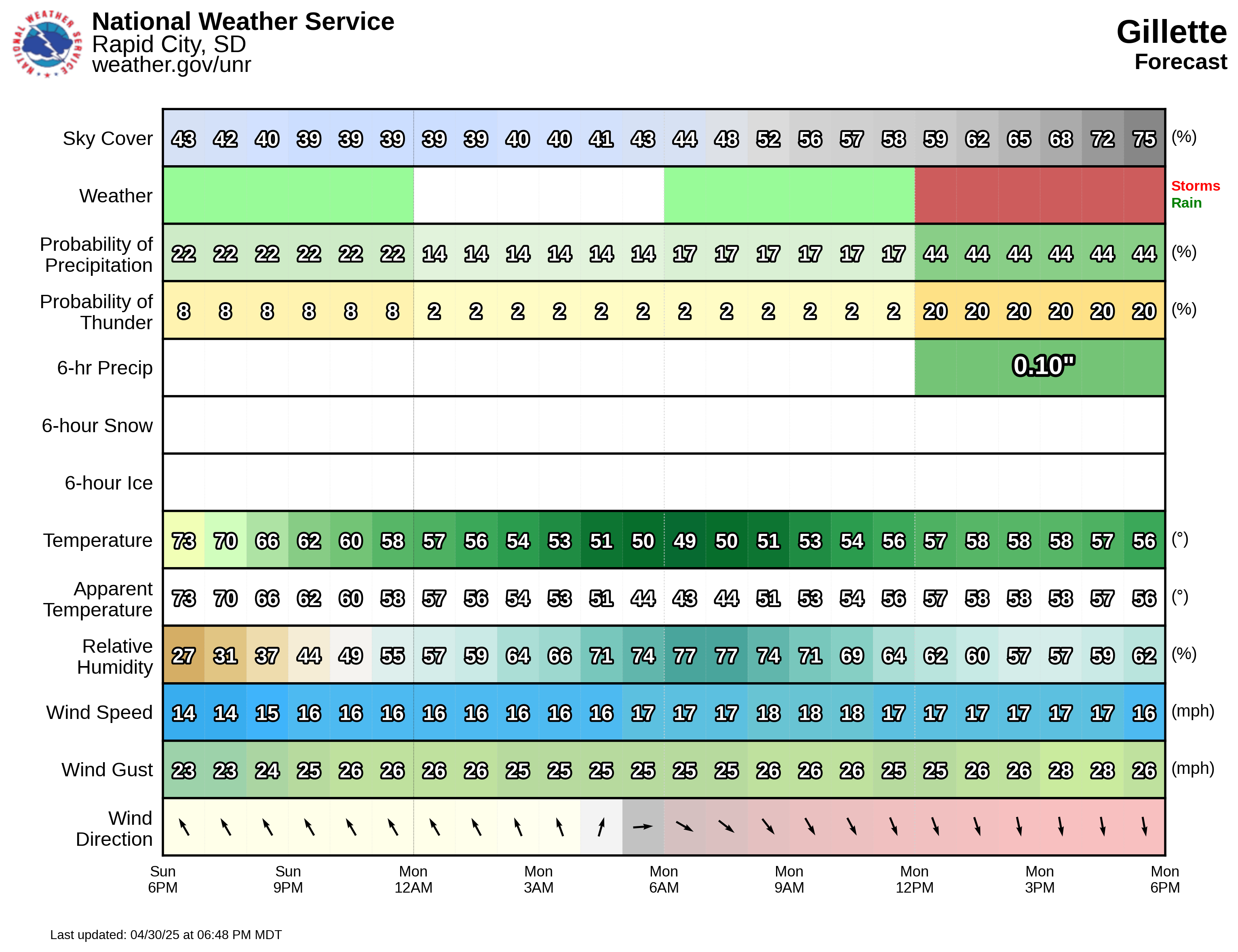
Precipitation Forecast
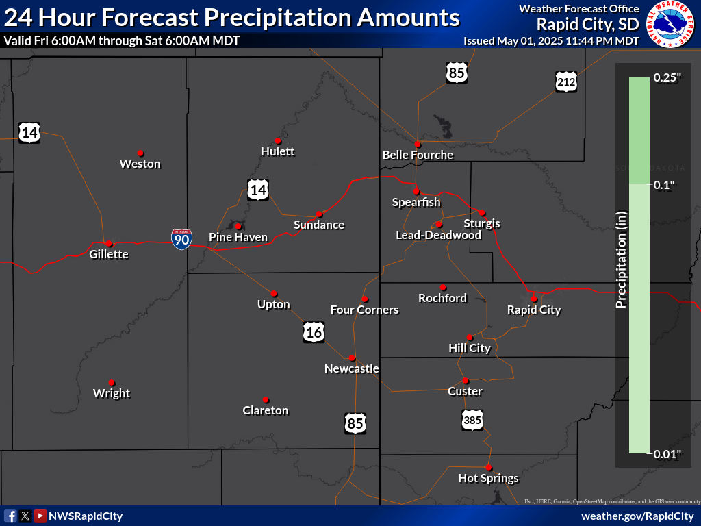
Liquid Precipitation
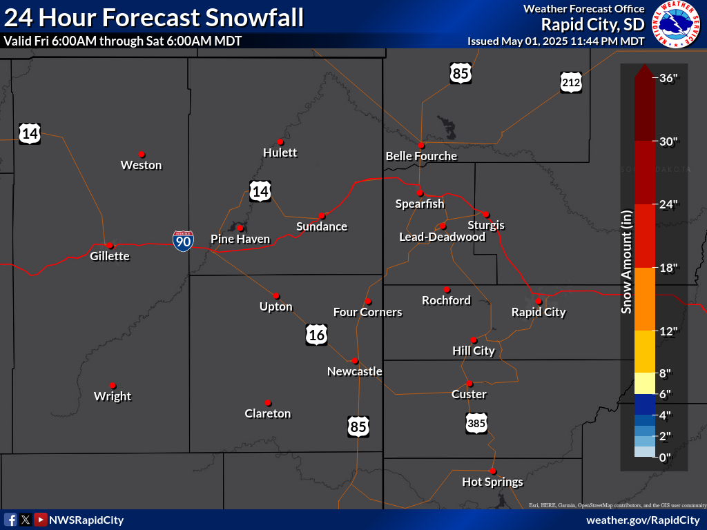
Snowfall
Ice
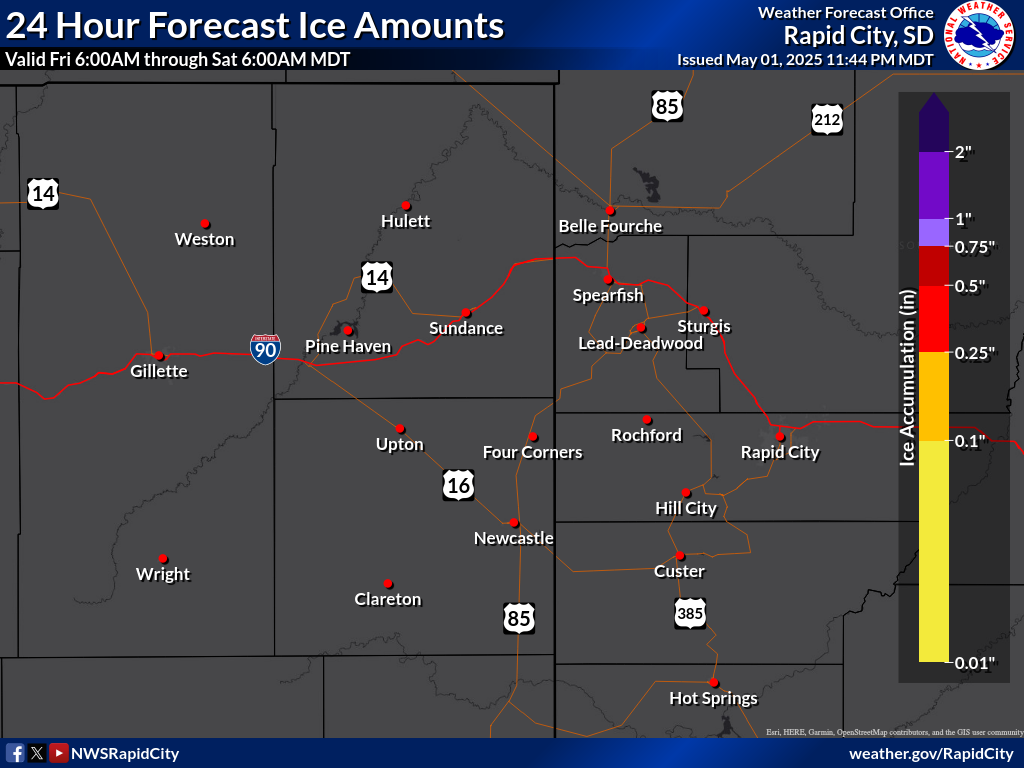
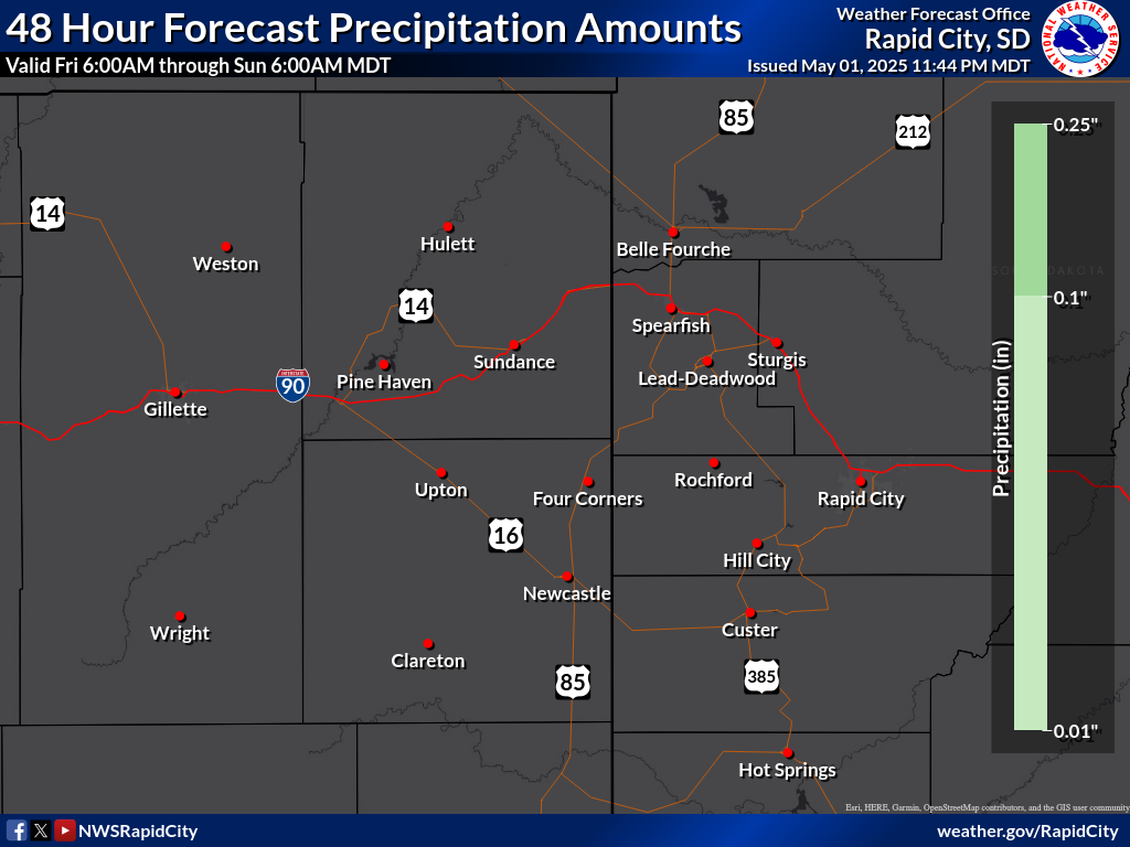
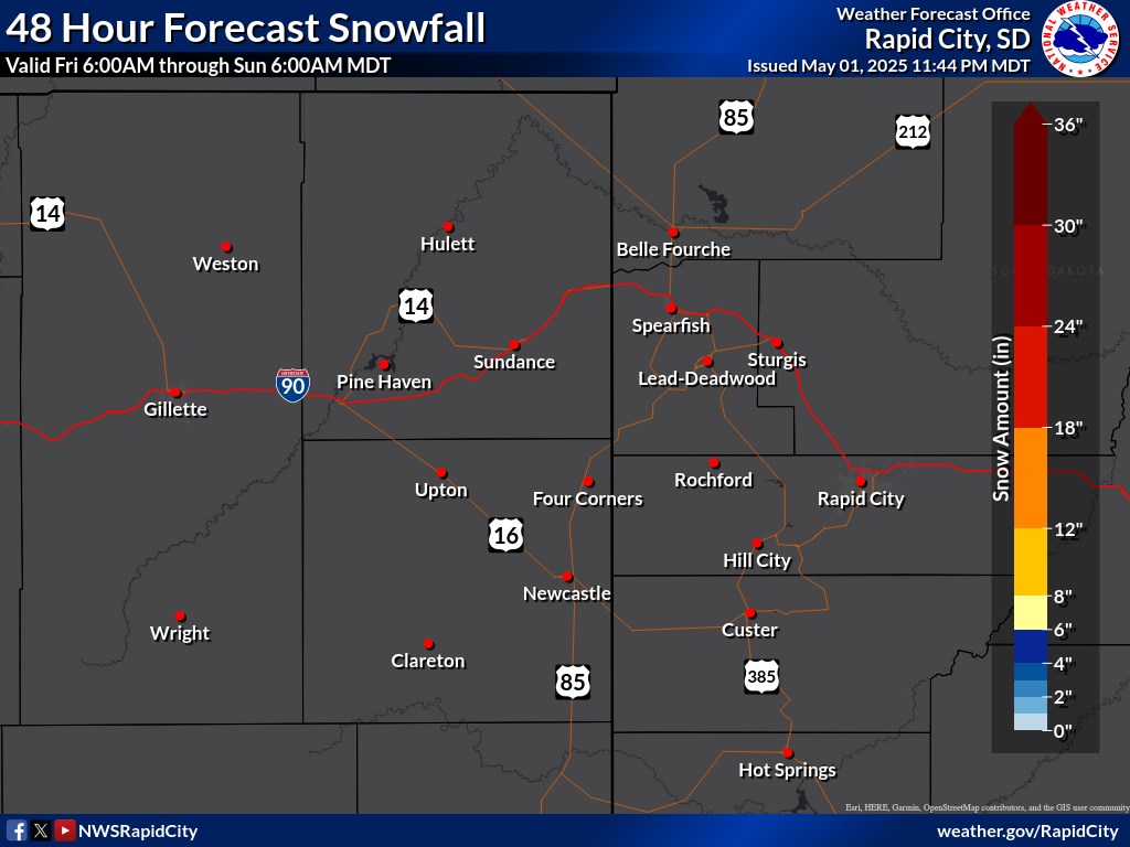
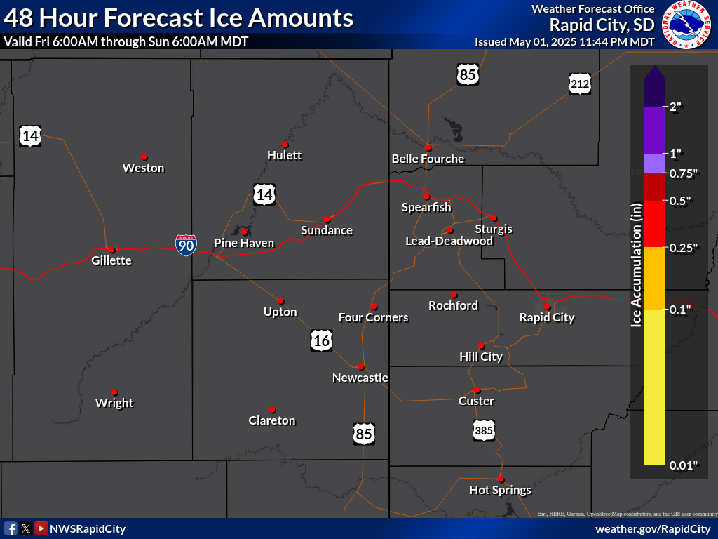
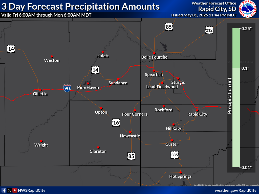
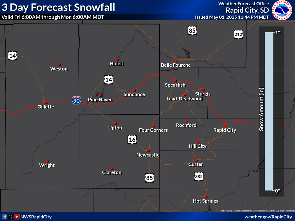
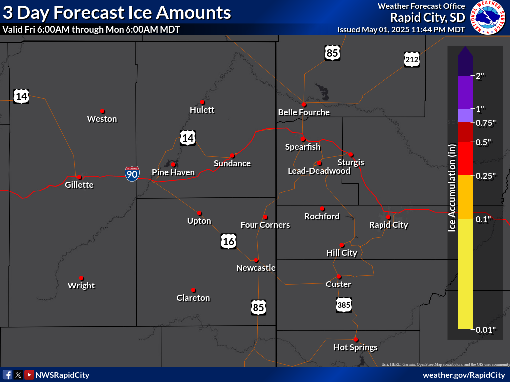
Range of 3-Day Snowfall Possibilities
Probability of Snow Amounts
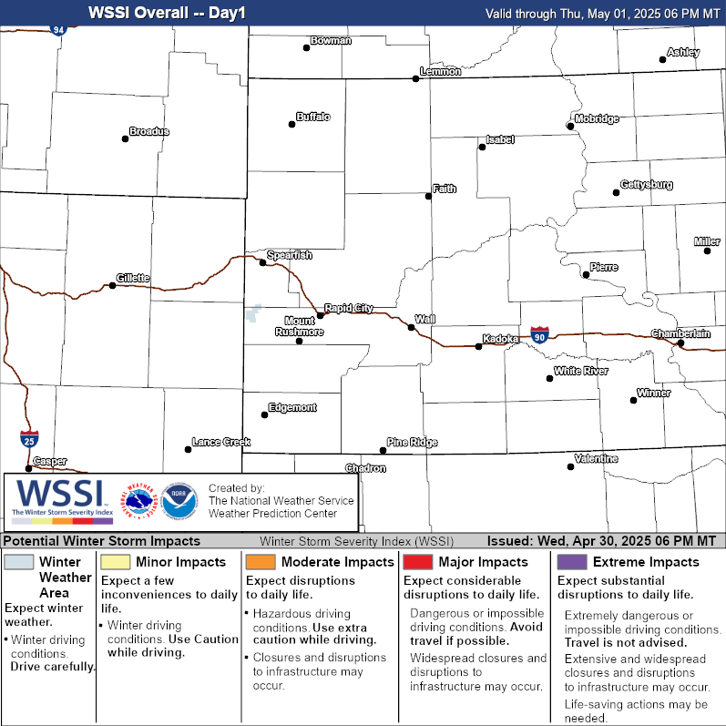
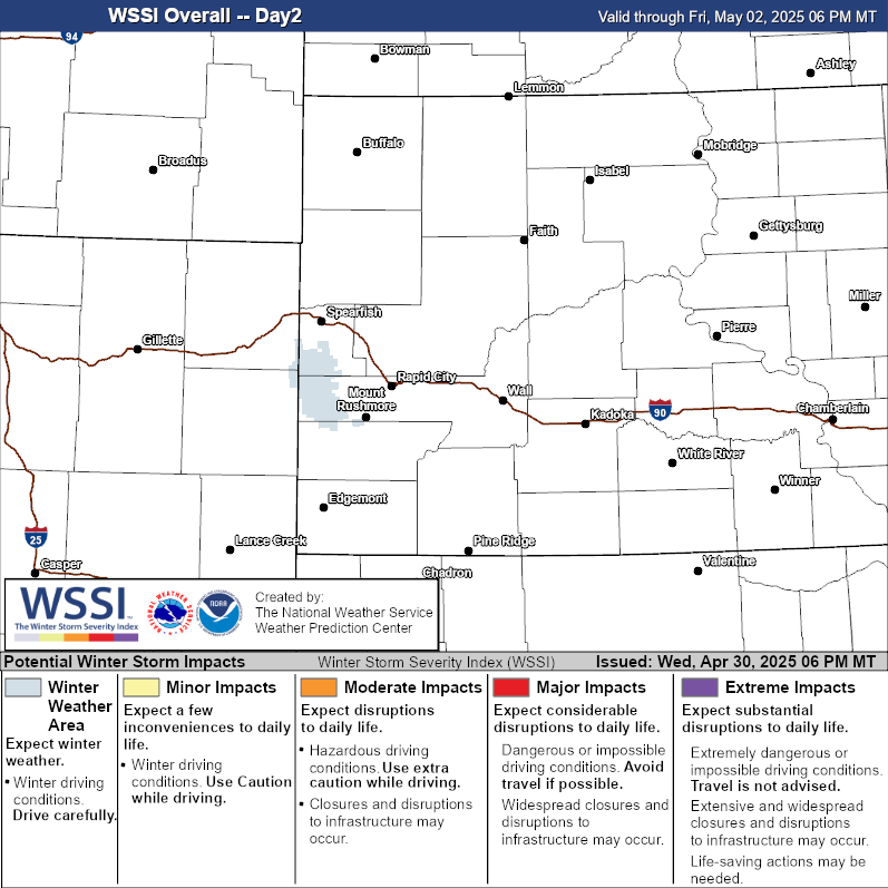
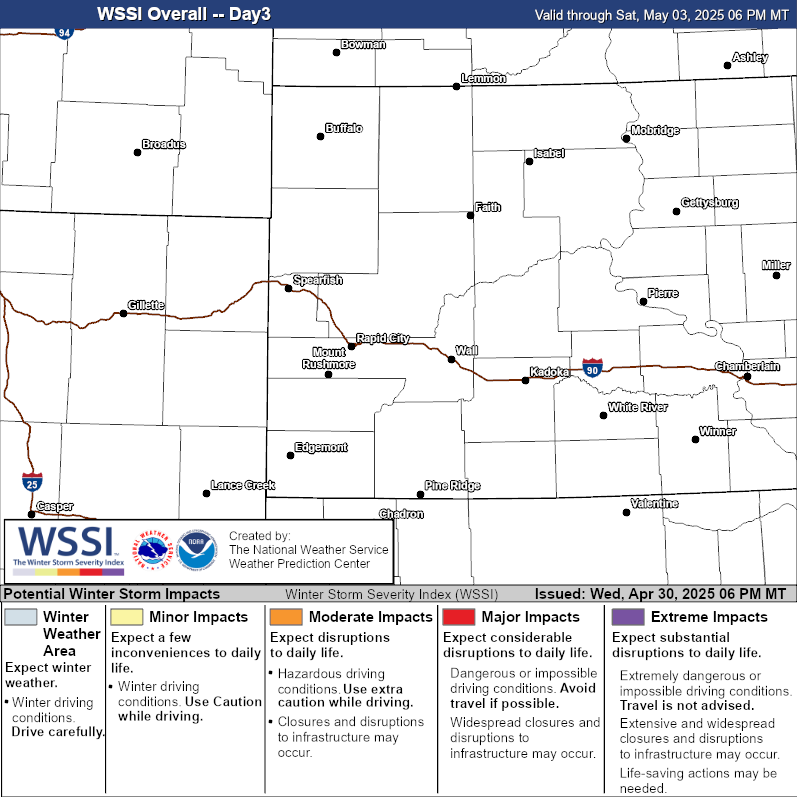
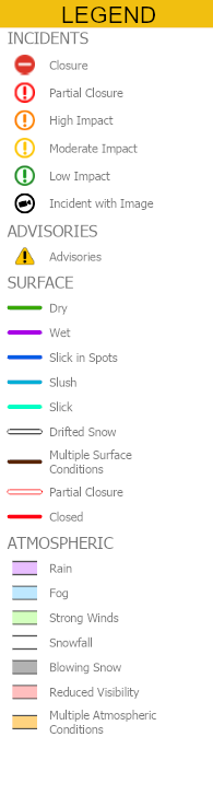
Current Travel Conditions

Webcams
Gillette I-90/Exit 128 (DOT)
Gillette 16 SW / I-90 MM108 (DOT)
Gillette 21 WNW (BLM)
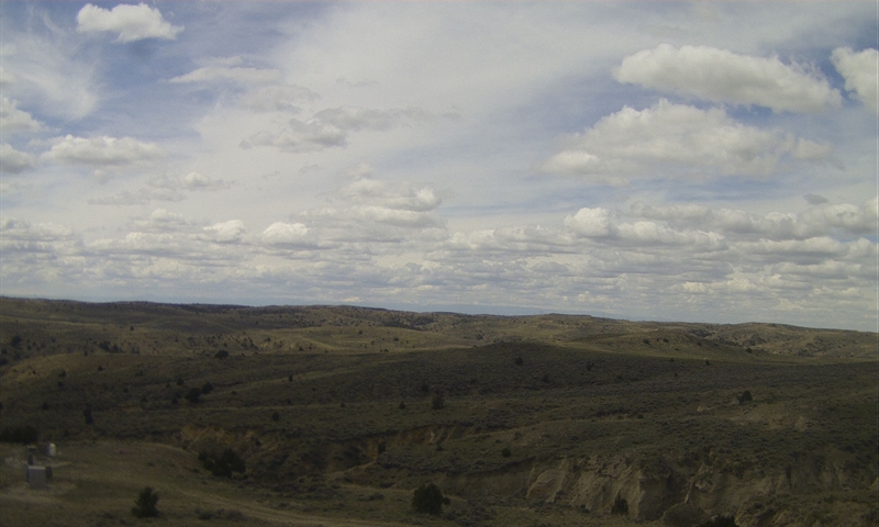
South Gillette (KNBN)
Wright 12 N
Pine Tree Junction
WY59 MM 23
Cheyenne River Rest Area
WY59 Jenne Trail
 Follow us on X
 Follow us on Facebook
 Follow us on YouTube
 UNR RSS Feed