Rapid City, SD
Weather Forecast Office
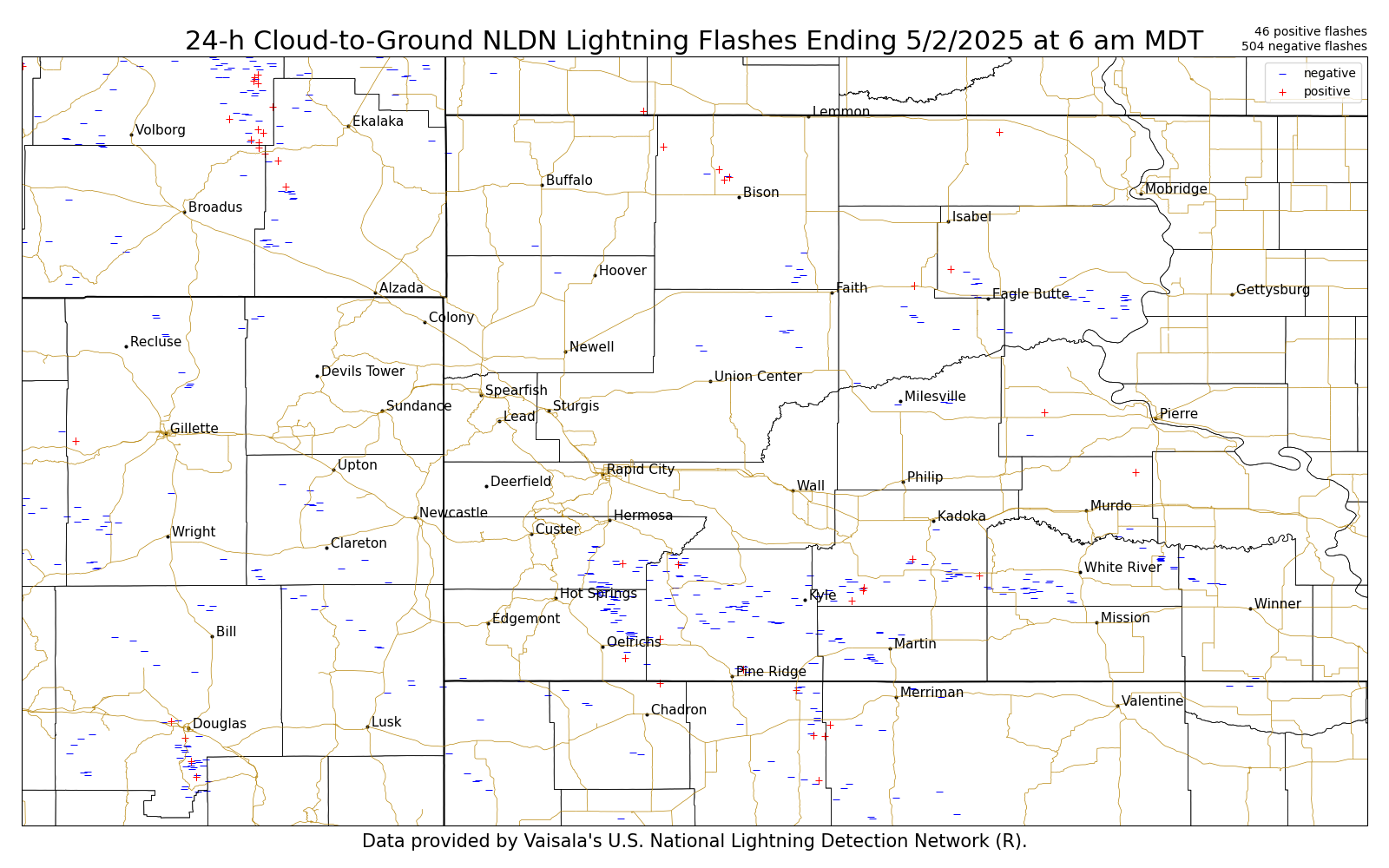
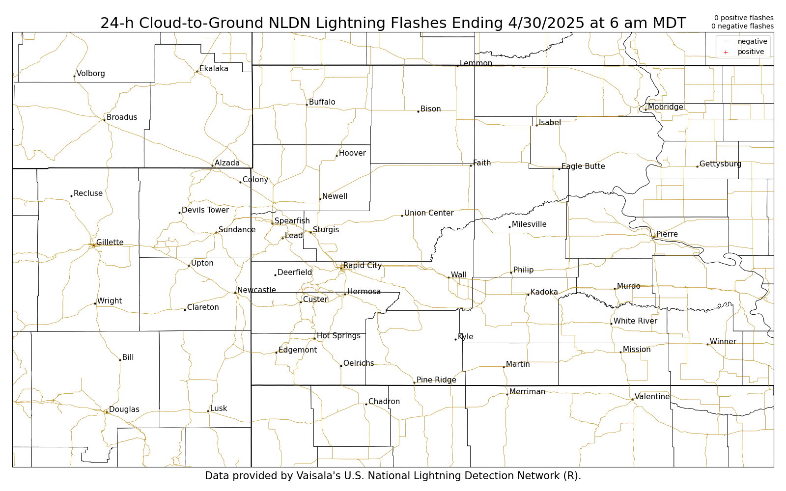
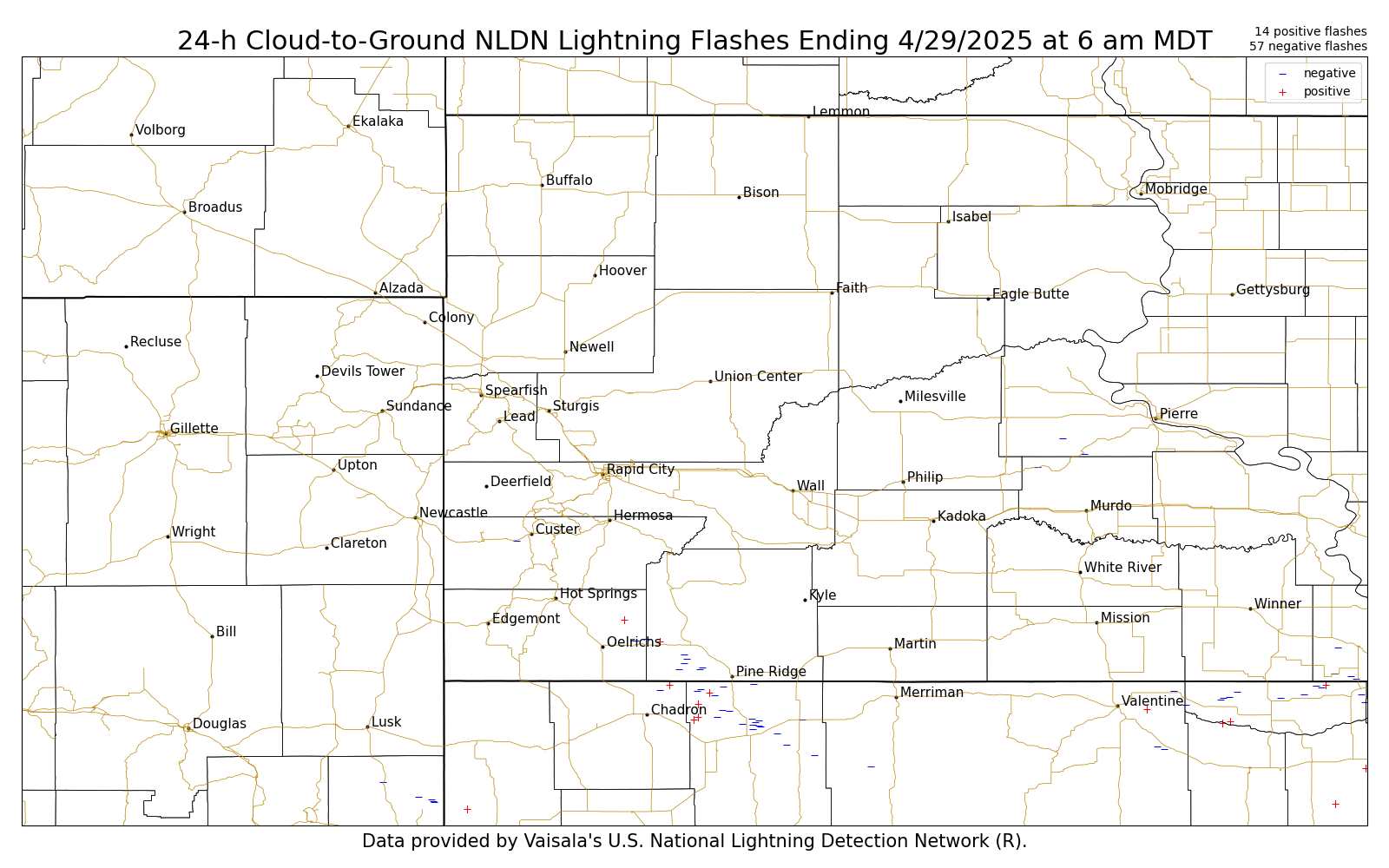
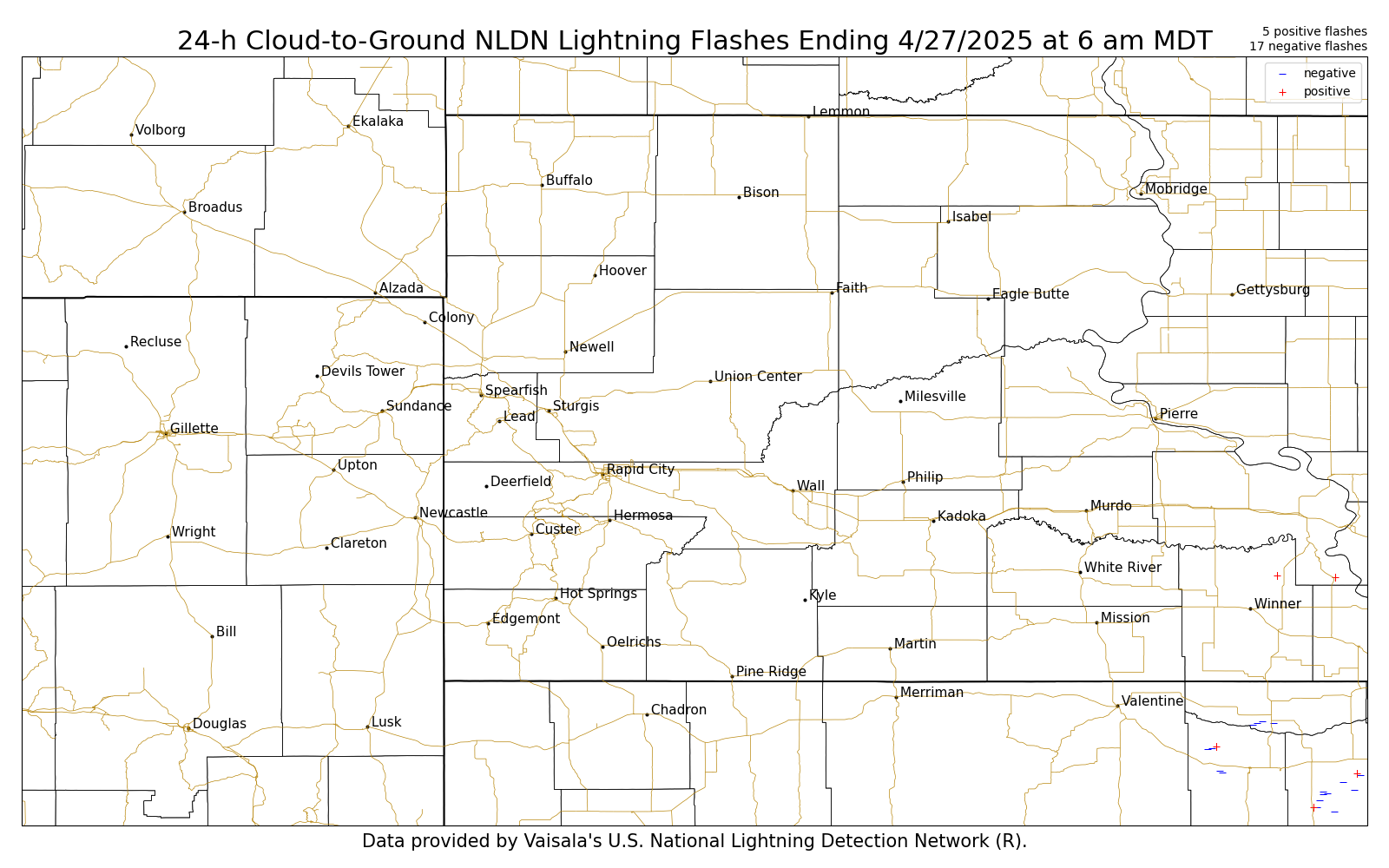
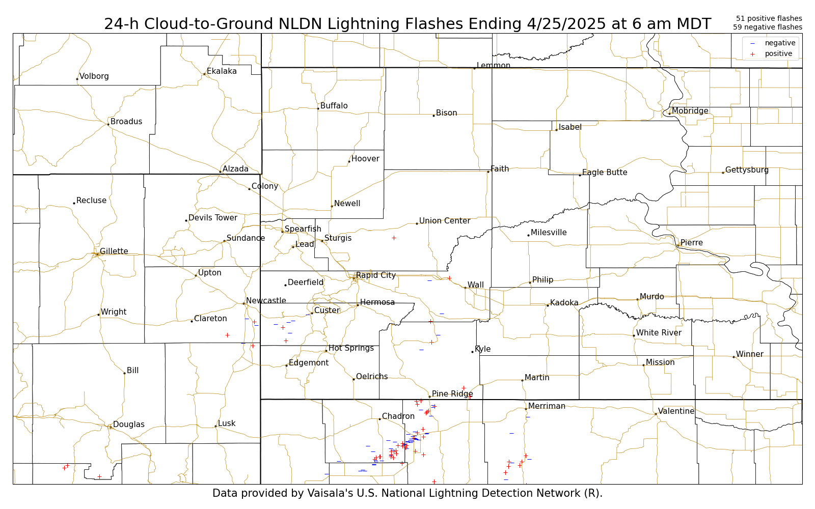
The lightning images below are updated daily around 7:30–8:30 AM and contain 24-h accumulations of lightning ending at 6 am MDT (5 am MST) each day. The images use NLDN cloud-to-ground flashes only. The maps only represent cloud-to-ground lightning flashes, and is based on a surface detection network. Mouse over each day to view the 24-h cumulative lightning flash maps. Links to printable versions are at the bottom of this page.
| 24-h Cumulative NLDN Cloud-to-Ground Lightning Flashes |
Yesterday | 2 Days Ago | 3 Days Ago | 4 Days Ago | 5 Days Ago | 6 Days Ago | 7 Days Ago | 8 Days Ago |
 |
||||||||
Printable: Yesterday, 2 Day Ago, 3 Days Ago, 4 Days Ago, 5 Days Ago, 6 Days Ago, 7 Days Ago, 8 Days Ago
US Dept of Commerce
National Oceanic and Atmospheric Administration
National Weather Service
Rapid City, SD
300 East Signal Drive
Rapid City, SD 57701-3800
605-341-9271
Comments? Questions? Please Contact Us.

