
A storm system will shift from eastern Texas into the lower Mississippi Valley Monday with additional threats of severe thunderstorms and heavy to excessive rainfall which may bring flooding. A Flood Watch remains in effect. In the northern U.S., a storm will bring heavy snow and gusty winds over parts of the northern Rockies, northern Plains, and Upper Midwest Monday into Wednesday. Read More >
Last Map Update: Sun, Nov 23, 2025 at 9:10:42 pm PST


|
Text Product Selector (Selected product opens in current window)
|
|


 Graphical Hazards Outlook
 RADAR and Satellite
 Precipitation Tracker
 Forecast Discussion
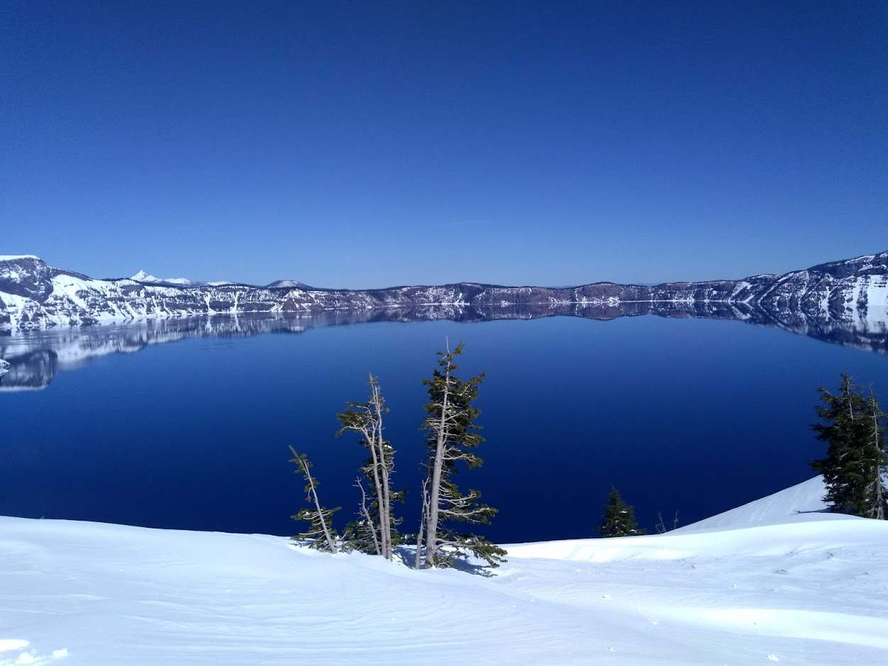 Snowfall and Depth With Crater Lake Details
 Avalanche Guidance
 NESDIS Geocolor
 Weather Map
 Forecast Weather Tables
 Marine
 Fire Weather
 Crater Chronicle and Monthly Climate Summaries
 GOES 18 Water Vapor Imagery
 Mountain Pass Forecasts
 Local Climate Data
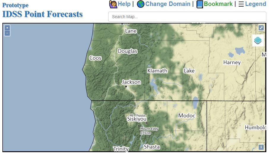 Alternate Point Forecast