
Widespread life-threatening flash and urban flooding continues in south-central Texas, with considerable flooding impacts possible across central Texas. Wildfire smoke is impacting air quality across much of the Great Lakes region into southern New England and the Mid-Atlantic. Monsoonal thunderstorms may produce isolated to scattered flash flooding across the Southwest into the Great Basin. Read More >
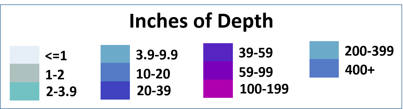
The following data are snowpack. Basin snowpack images have been discontinued. Please find the latest Western Basin Snow Water Equivalent maps here. The following data are preliminary and estimated snow depths across the region. Methodology for this now depth imagery is here: https://www.nohrsc.noaa.gov/technology/pdf/NOAAs_National_Snow_Analyses.pdf
Latest Modeled Snow Depth per NOHRSC. Click for snow depth value. Latest Estimated Snow Depth per NOHRSC Latest Estimated Snow Depth Compared to Normal Snow Depth for Current Month per NOHRSC Estimated snowfall in past 24 hours per NOHRSC Estimated Snow depth over the CONUS per NOHRSC
Crater Lake Snow Depth
Regional Snow Depth Imagery


 Precipitation Tracker
 Graphical Hazards Outlook
 RADAR and Satellite
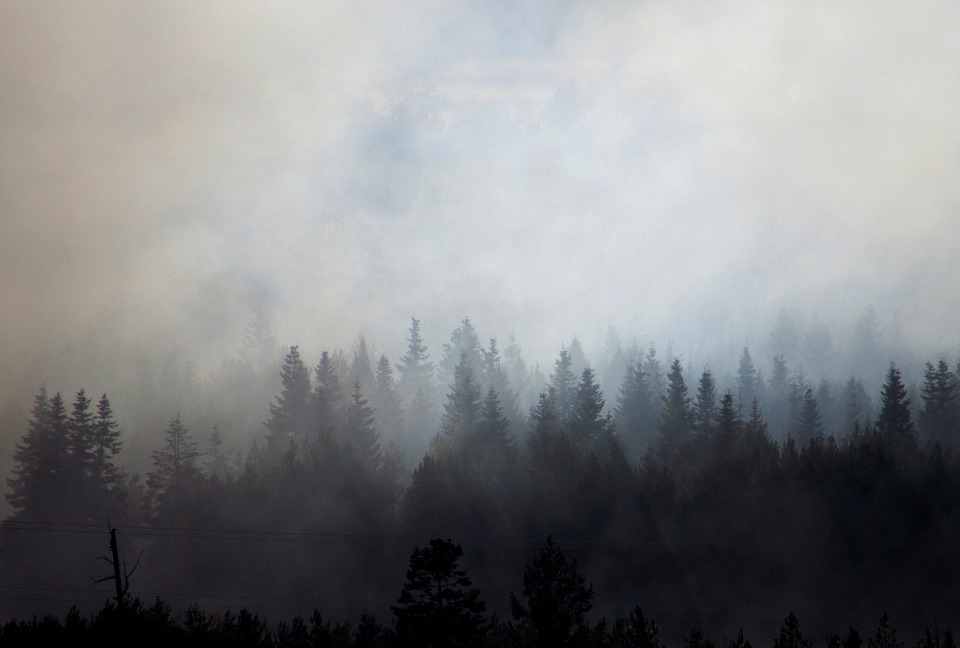 Wildfire Safety
 Forecast Discussion
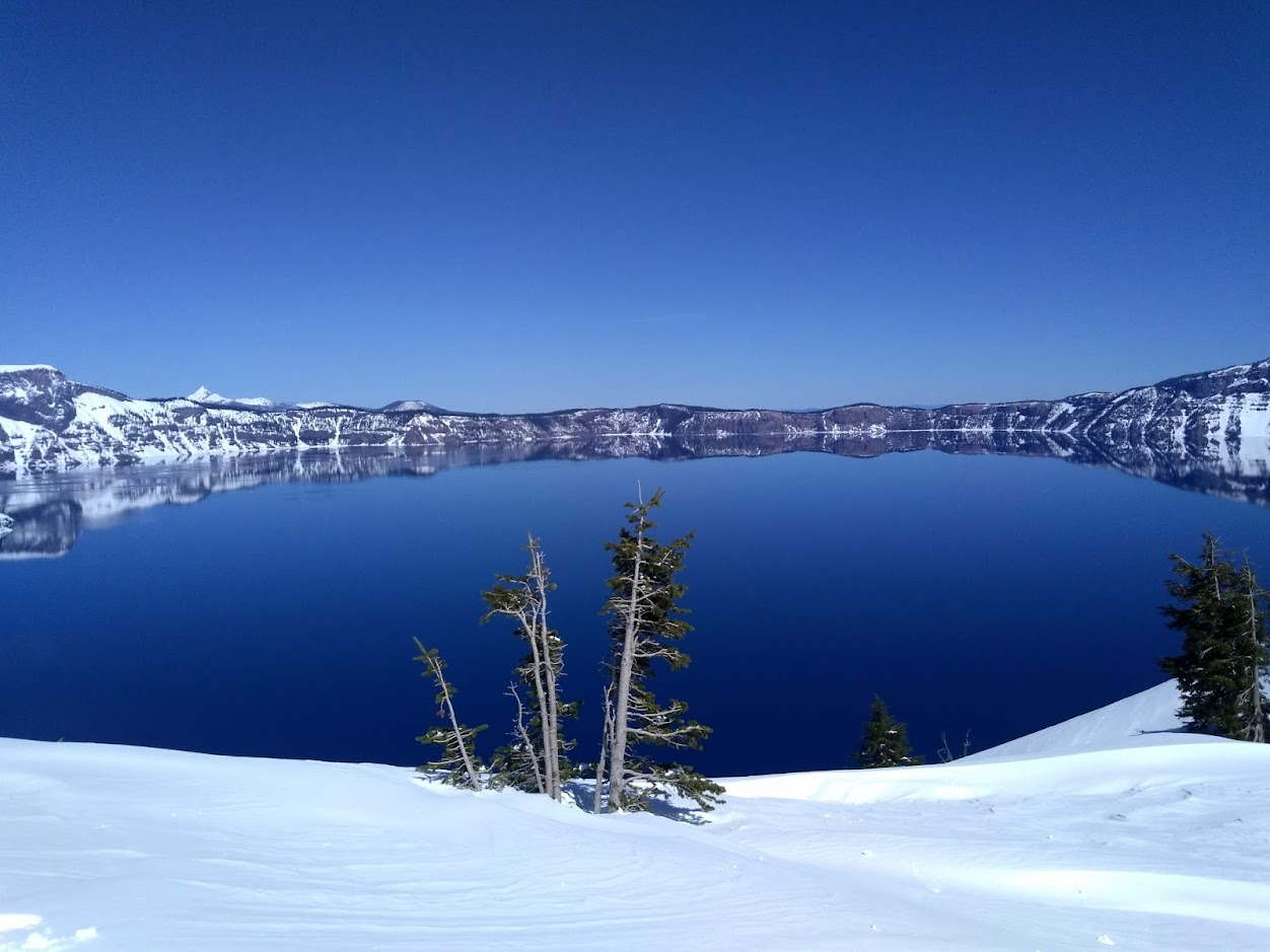 Snowfall and Depth With Crater Lake Details
 Avalanche Guidance
 NESDIS Geocolor
 Weather Map
 Marine
 GOES 18 Water Vapor Imagery
 Local Climate Data
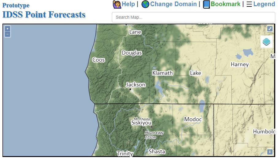 Alternate Point Forecast
 Smoke Forecast
 Weather Stats
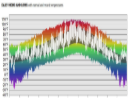 Year Charts
 Fire Weather