
Cooler and less humid conditions for the eastern third of the nation as a cold slides off the east coast. Combination of dry and breezy conditions may result in spread of wildfires across the lower Mississippi Valley. In addition, fire weather conditions linger into portions of Southern California. For Guam, a super typhoon is approaching. Read More >
Southern Oregon and Northern California Smoke Forecast from the HRRR model
HRRR Smoke Model Link with tutorial and access to full, 48 hour runs
| Airnow.gov Current Air Quality Index Map for Southern Oregon and Northern California | 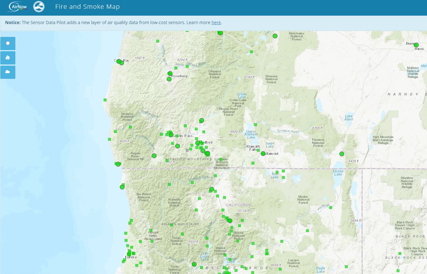 |
| Oregon Department of Environmental Quality Current Air Quality Index Map | 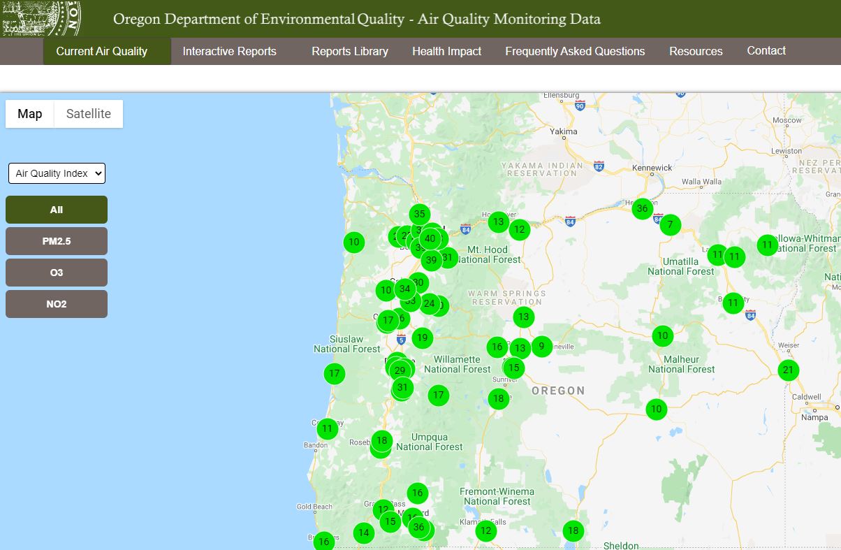 |
Smoke Outlooks from Area Wildfire Air Resource Personnel



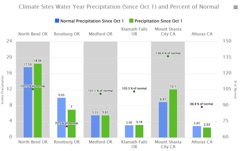 Precipitation Tracker
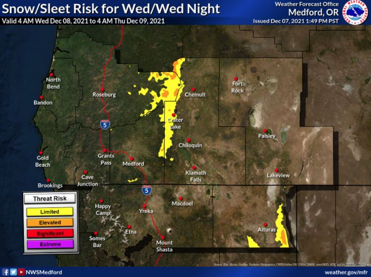 Graphical Hazards Outlook
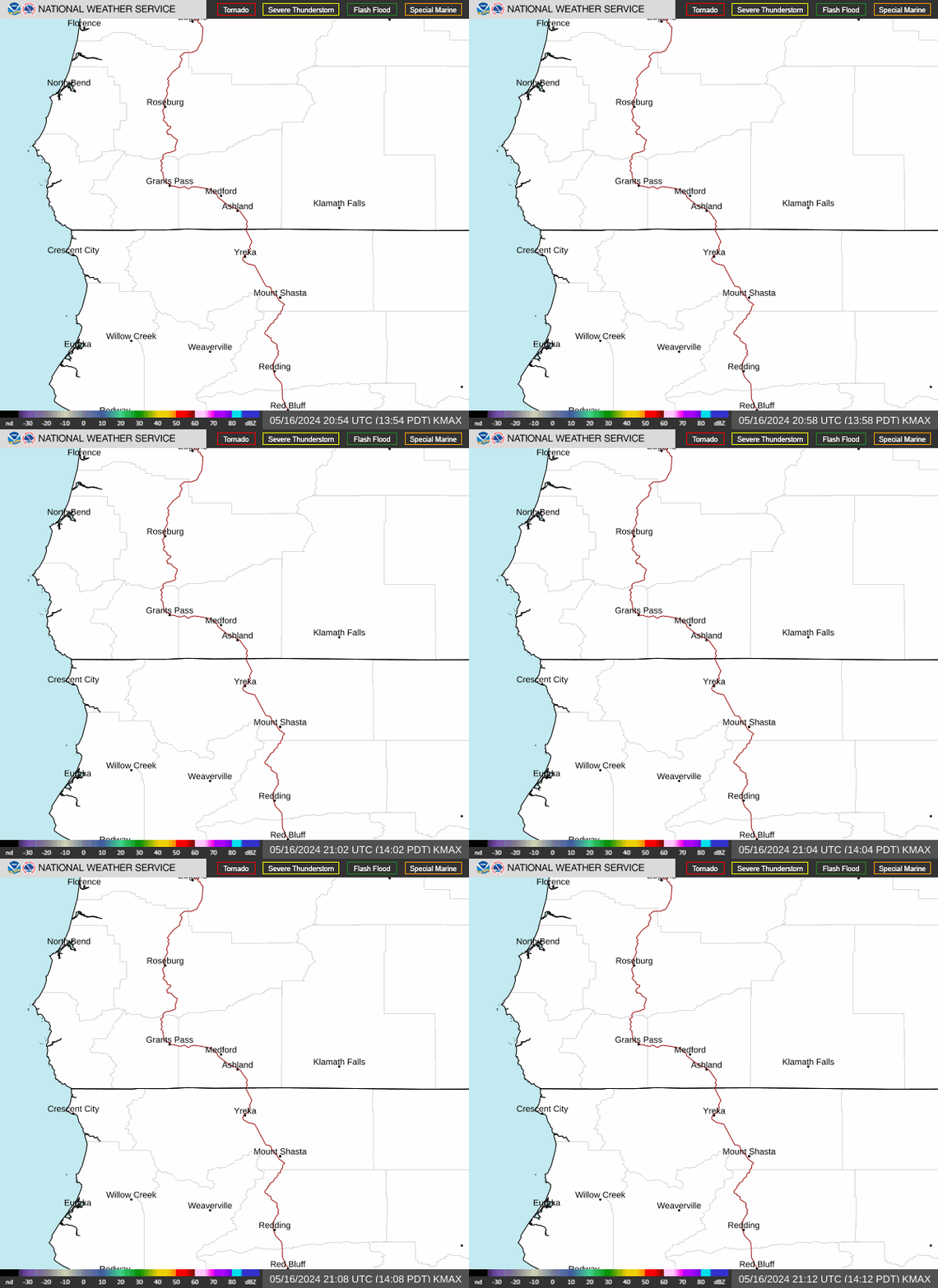 RADAR and Satellite
 Forecast Discussion
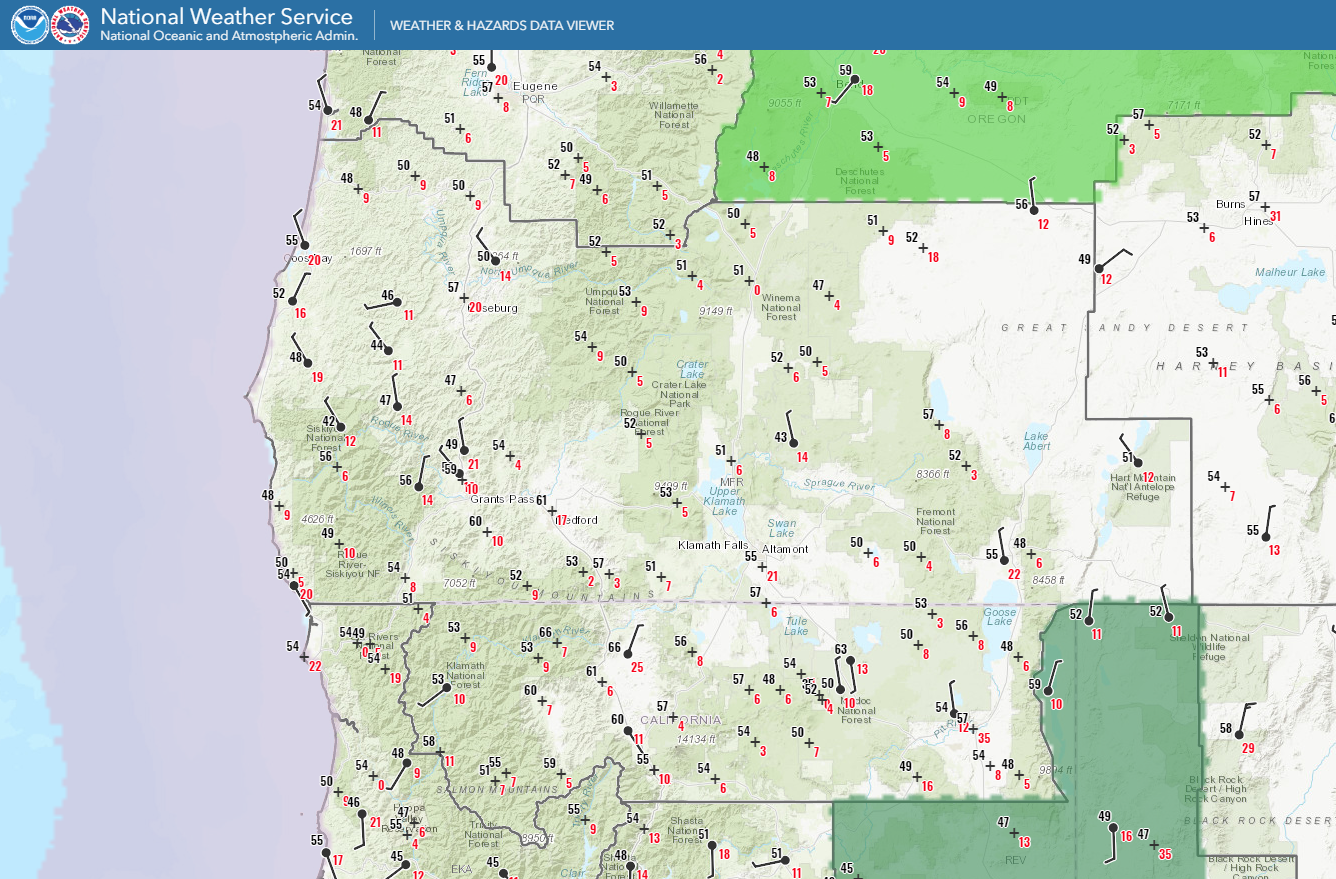 Observations/Hazards
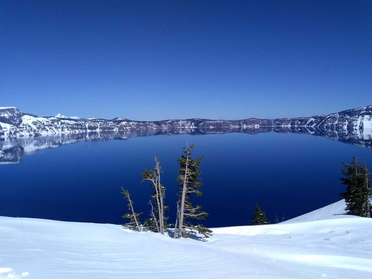 Snowfall and Depth With Crater Lake Details
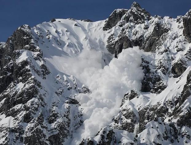 Avalanche Guidance
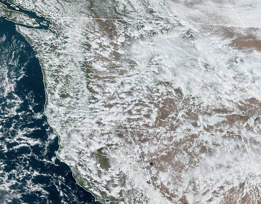 NESDIS Geocolor
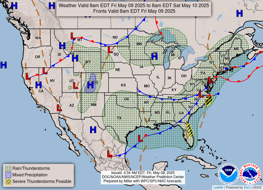 Weather Map
 Marine
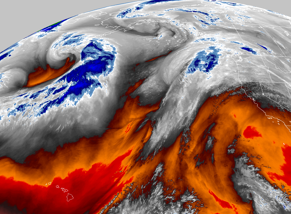 GOES 18 Water Vapor Imagery
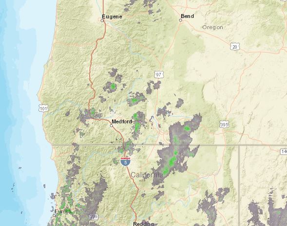 Pan/Zoom Radar
 Local Climate Data
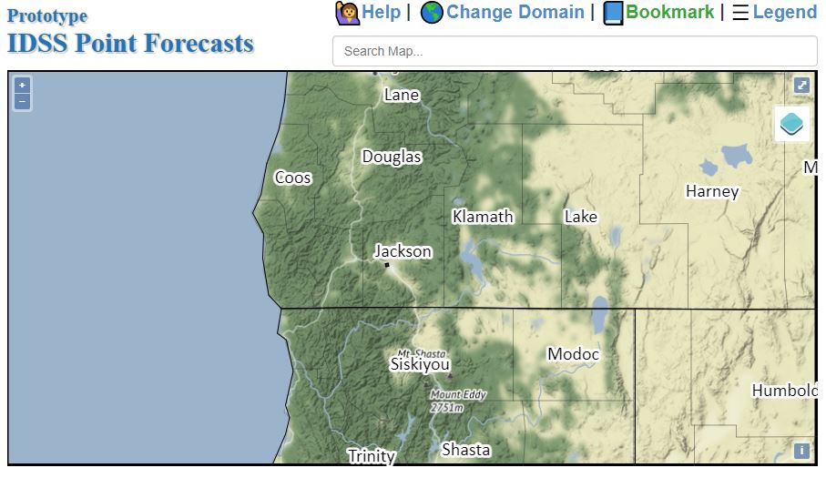 Alternate Point Forecast
 Weather Stats
 Year Charts
 Fire Weather
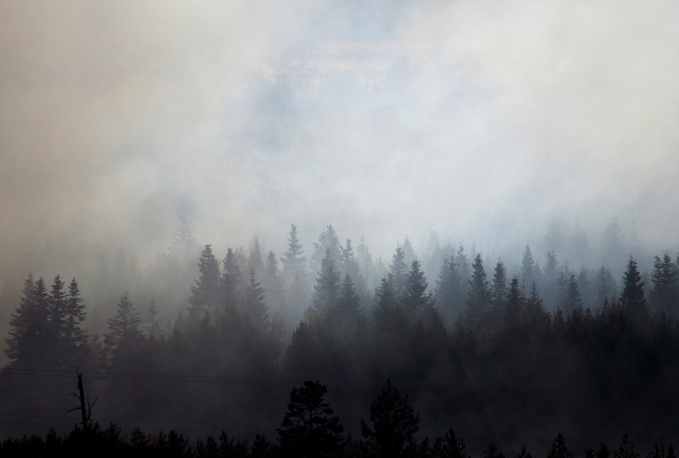 Smoke Forecast
 Follow us on X
 Follow us on Facebook
 Follow us on YouTube
 MFR RSS Feed