
A heat wave over the Southwest will intensify this week, peaking and expanding into the Intermountain West and northern High Plains this weekend. Critical to extremely critical fire weather conditions are forecast from the Northwest and the northern Great Basin this weekend. Particularly Dangerous Situation Red Flag Warnings have been issued. Read More >
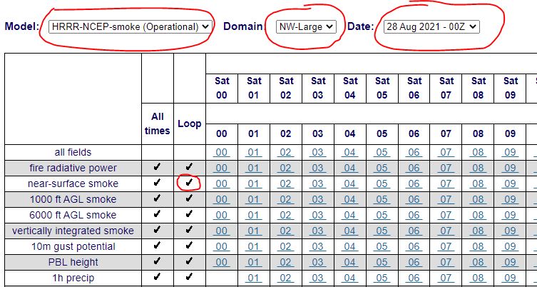
The animated movie on the weather.gov/medford/wildfire web page is based on the HRRR. Typically those movies only go out 18 hours. If you want to view imagery that goes out 48 hours, this tuturial will help you get there. The HRRR smoke model has really improved over the past several years and can provide a good idea on where the greatest/least concentration of smoke will be, out to 48 hours. Please understand when viewing this imagery that no model is perfect, and it's usually best to use to view trends where smoke is getting worse or better. Take a look at the AQI in your area, and then you can use the model to see if it looks like your area will improve or worsen through the day/night.
Here's the link to the smoke model page: https://rapidrefresh.
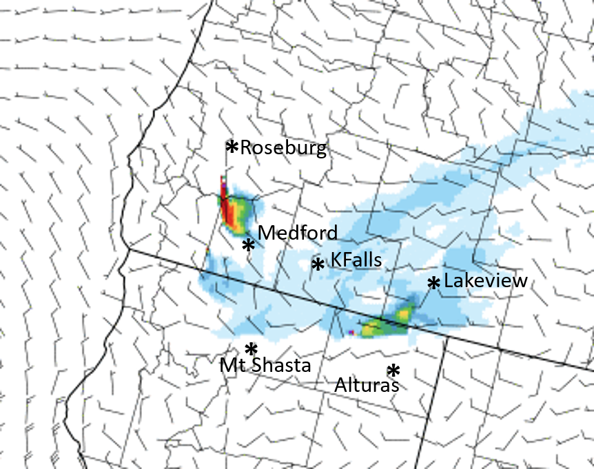
Note that this imagery only shows county boundaries. Below is an image with some approximate city locations as a reference in case you're not familiar with all county boundaries.
When you go to the page, choose NW-Large on the domain for Northwest. Choose the most recent
00Z, 06Z, 12Z, or 18Z model run to get the full, 48 hour outlook. Other model runs go out
18 hours.


 Precipitation Tracker
 Graphical Hazards Outlook
 RADAR and Satellite
 Forecast Discussion
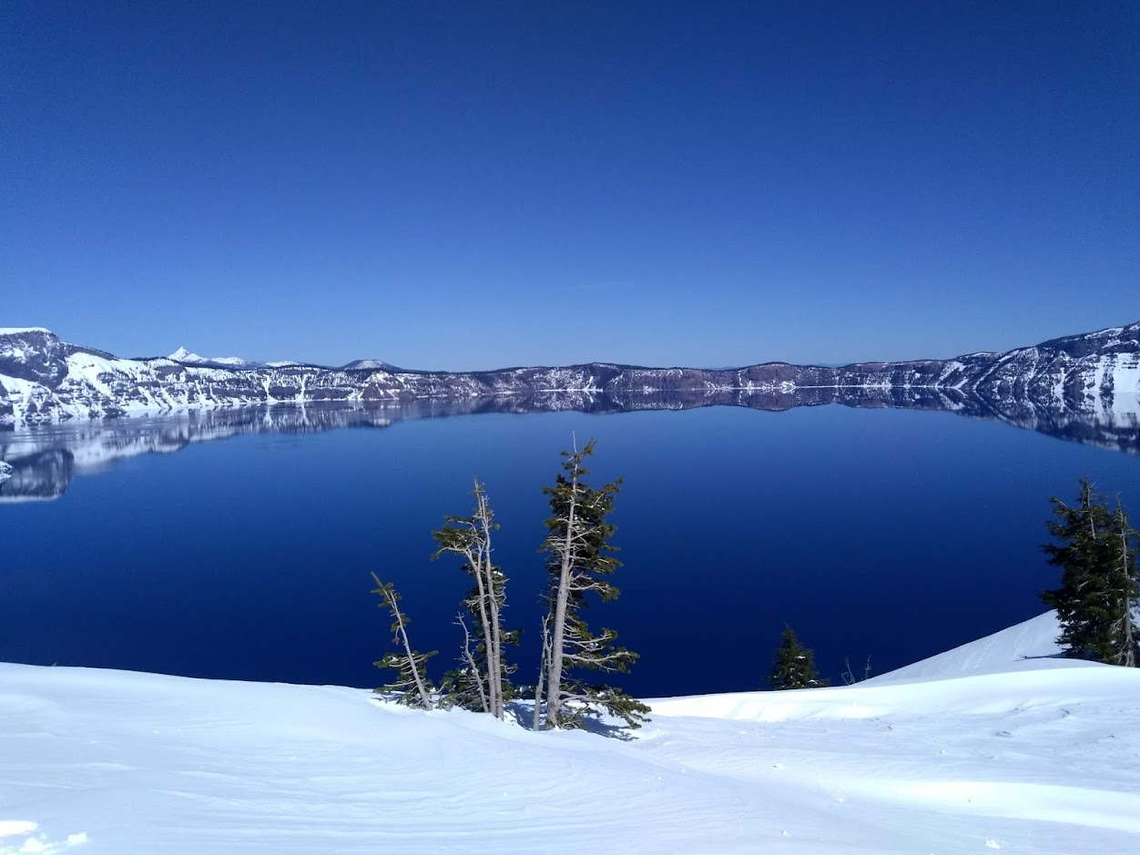 Snowfall and Depth With Crater Lake Details
 Avalanche Guidance
 NESDIS Geocolor
 Weather Map
 Marine
 GOES 18 Water Vapor Imagery
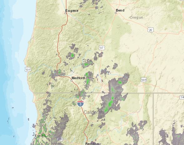 Pan/Zoom Radar
 Local Climate Data
 Alternate Point Forecast
 Weather Stats
 Year Charts
 Fire Weather
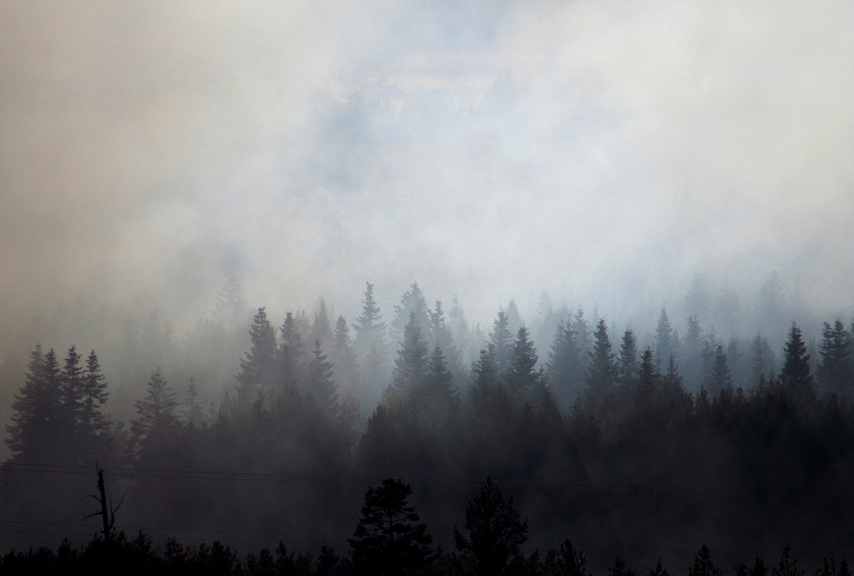 Smoke Forecast