
Canadian wildfire smoke will push into the Midwest, worsening air quality. A frontal system brings severe storms from the Northern Plains to the Mid‑Atlantic the next few days. Heavy Gulf Coast rain is possible as we closely monitor tropical development, while monsoonal storms persist in the Southwest with heavy rainfall. Hazardous heat expands from the Plains into the Lower Mississippi Valley. Read More >
Link to Pan and Zoom RADAR Imagery
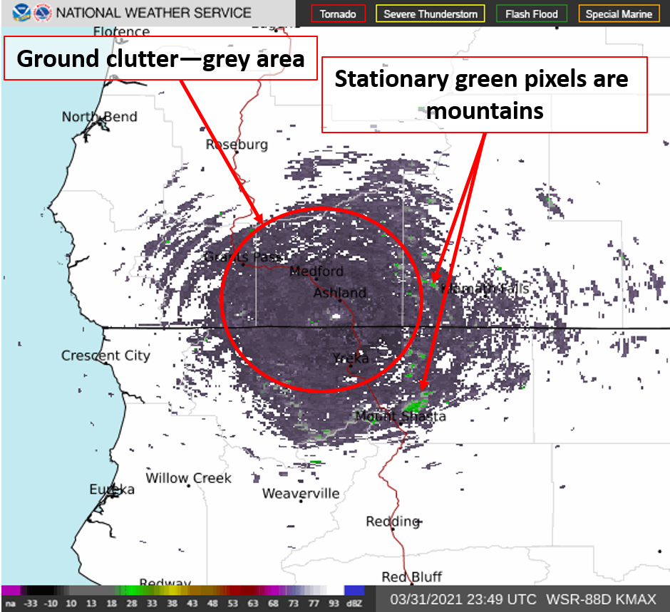
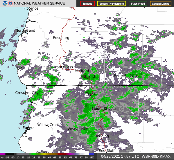
Latest RADAR imagery (KMAX--Mt Ashland)

KBHX--Eureka, CA

KBBX -- Beale AFB, CA

KRTX--Portland, OR


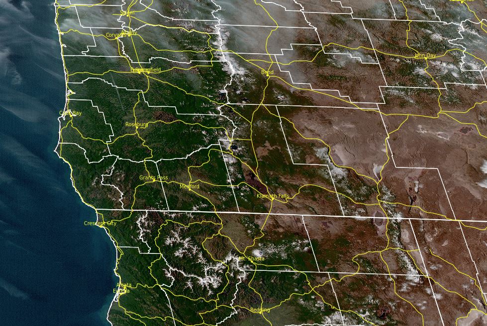
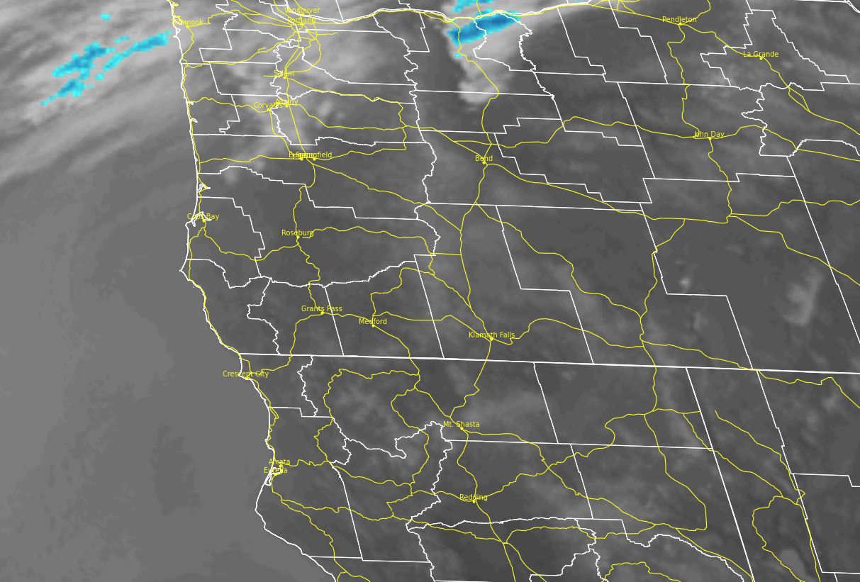
Click to enlarge national RADAR image

 |
|
| Helpful hints when viewing this "lite" RADAR imagery | |
|
Time is it UTC. Subtract 7 hours to get PDT and 8 hours to get PST |
|
|
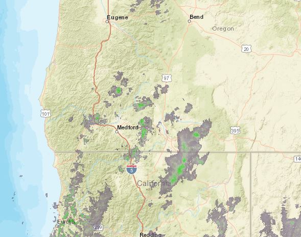
Ground Clutter: Image is what it can look like when there is no precipitation but significant ground clutter. The grey and green areas won't move much.
|
Actual Precipitation: Image below shows precipitation in the area. Green areas change/move like you'd expect with areas of rain/snow.
|
 |
|
 |
|
 |
|
 |
|
 |
|


 Precipitation Tracker
 Graphical Hazards Outlook
 Wildfire Safety
 Forecast Discussion
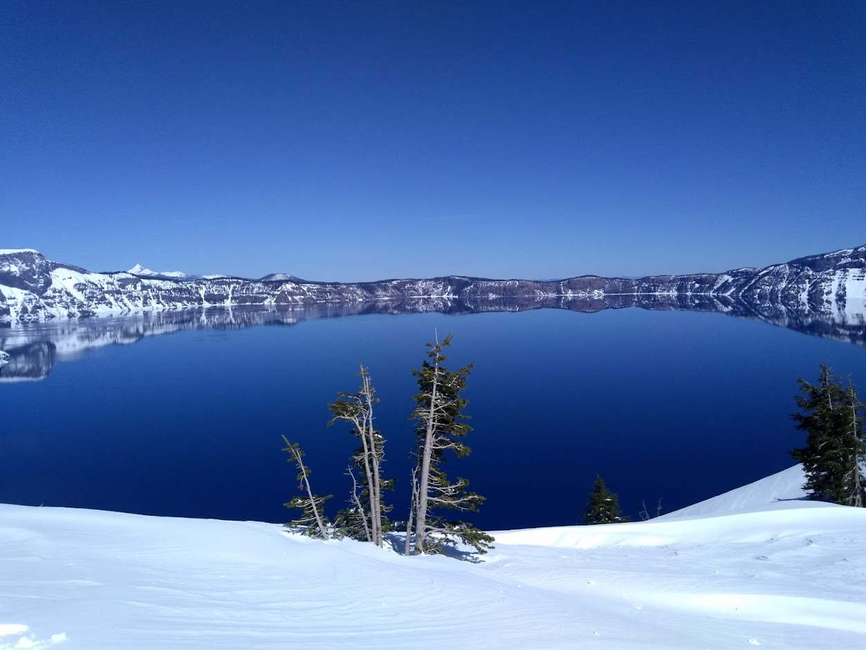 Snowfall and Depth With Crater Lake Details
 Avalanche Guidance
 NESDIS Geocolor
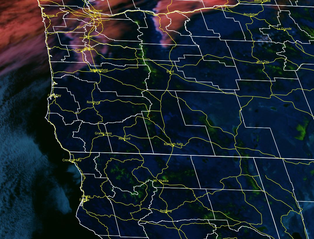
 Weather Map
 Marine
 Local Climate Data
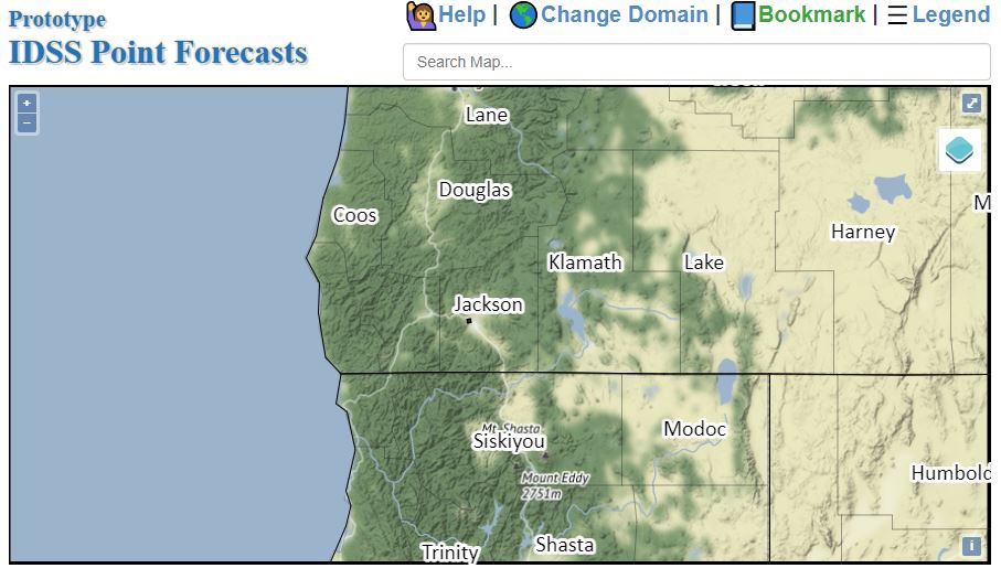 Alternate Point Forecast
 Smoke Forecast
 Weather Stats
 Year Charts
 Fire Weather