Scattered thunderstorms and widespread showers are expected from the Texas coast to the central Appalachians today. Heavy to excessive rainfall will continue in southern California into the Desert Southwest through Saturday. Heavy rain will pose a risk of flash flooding, especially across burn scar and urbanized regions. Read More >
Fort Worth/Dallas, TX
Weather Forecast Office
 |
Heavy Snow Event March 6, 2008 |
|
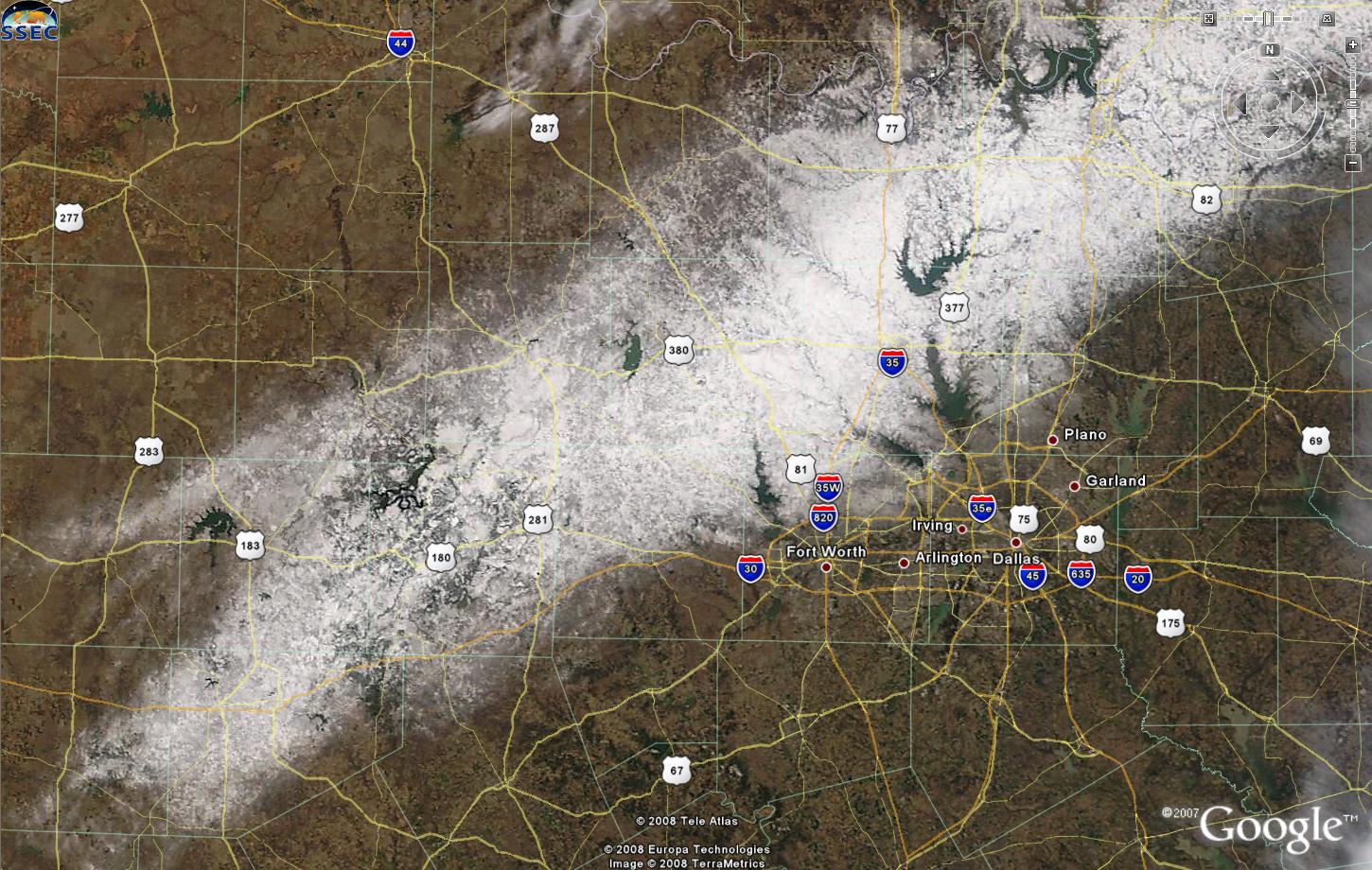
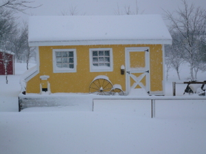
On 6 March 2008, a convective precipitation band formed across North Texas and quickly transitioned from rain to snow in a 60 km wide zone extending from west of the Dallas / Fort Worth metroplex northeast into extreme North Texas near the Red River. The snow persisted for over three hours with accumulations averaging 7 cm and isolated reports up to 30 cm near the heaviest convective precipitation. Frontogenesis and the resulting ageostrophic circulation appeared to play key roles in not only providing significant forcing for ascent but also in modifying the vertical temperature profile to be supportive of a liquid-to-frozen precipitation transition. The presence of atmospheric instability led to isolated thunderstorm development, with occasional cloud-to-ground and in-cloud lightning observed in the band of heavy snow. This study reviews the complex interactions between moisture, instability, and forcing for ascent that occurred during this convective winter weather event.
|
|
Current Hazards
National Outlooks
Tropical
Local Storm Reports
Storm Reports (Graphical)
Submit Storm Report
Tornado Warnings
Severe Thunderstorm Warnings
Flash Flood Warnings
Forecasts
Forecast Discussion
Graphical Forecast
Aviation Forecasts
Fire Weather
Hazard Planner
N. Texas Convective Parameters
US Dept of Commerce
National Oceanic and Atmospheric Administration
National Weather Service
Fort Worth/Dallas, TX
3401 Northern Cross Blvd.
Fort Worth, TX 76137
817.429.2631
Comments? Questions? Please Contact Us.