
Excessive heat returns for portions of the Plains today where heat indices will likely climb above the century mark. Furthermore, warm temperatures, strong winds and dry fuels may result in rapid spread of wild fires across the western High Plains today. For the east coast, lingering storm with onshore flow will bring high surf, dangerous rip currents and coastal flooding, especially at high tide. Read More >
Milwaukee/Sullivan, WI
Weather Forecast Office
...Strong Thunderstorms Possible this Evening...
Strong thunderstorms are possible this evening across southern Wisconsin with areas southwest of Madison at risk for the strongest storms.
The slight risk area has been shifted out of all but the most extreme southwestern portion of Wisconsin due to the thunderstorm complex across Iowa redefining where the boundary resides effectively shifting the focus for thunderstorm development later today farther south than previously thought.
Thunderstorms are still expected to slide eastward through the region this evening. Gusty winds, locally heavy rainfall and small hail will be possible.
Here is a timing graphic for the storms for tonight:

If you get severe weather, send us your report! Key elements: Time - Location - Type of severe weather/damage, etc...

Our Latest Weather Story:

Storm Prediction Center Day 2 (Monday and Monday Night) Convective Outlook:
| Southern Wisconsin | Wisconsin |
 |
 |

Regional Radar Views:
 |
 |
Local Radar:

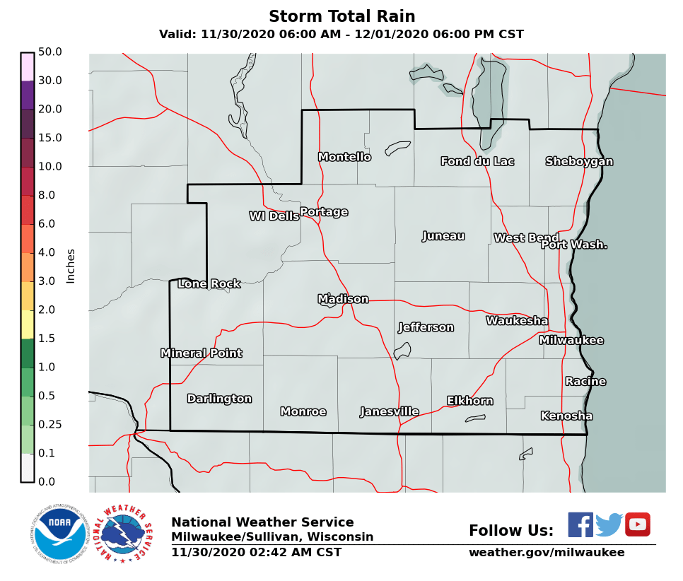
Expected Rainfall Amounts:
 |
 |
Links of interest:
Local Storm Report Graphic
Local Storm Report Text
SPC Local Storm Reports
Submit a Storm Report
Hazardous Weather Outlook
Forecast Discussion
Severe Thunderstorm Warnings
Tornado Warnings
Flash Flood Warnings
Severe Weather Statements
SPC Meso-Analysis Page
Our Severe Weather Page
Wood
NWS Milwaukee/Sullivan, WI
Hazards
National Briefing
Hazardous Weather Outlook
Skywarn
View Local Storm Reports
Submit A Storm Report
Winter Weather
Summer Weather
Beach Hazards
Local Forecasts
Marine
Aviation
Fire
Local Text Products
Local Precip Forecast
Hourly Forecast Graphics
Forecast Discussion
Climate
Daily Climate Graphics
Local Climate Products
Normals/Records MKE/MSN
CoCoRaHS
Historic Events For Srn WI
US Dept of Commerce
National Oceanic and Atmospheric Administration
National Weather Service
Milwaukee/Sullivan, WI
N3533 Hardscrabble Road
Dousman, WI 53118
262-965-2074
Comments? Questions? Please Contact Us.

