
A prolonged atmospheric river will continue impacting the Pacific Northwest with heavy rainfall which has lead to areas of urban and river flooding along with gusty winds into Thursday. A clipper will bring heavy snow, some mixed wintry precipitation, and gusty to high winds across the northern Plains, Upper Midwest, and the Great Lakes into Thursday morning. Read More >
Synopsis: A prolonged snow event brought 3 to 4.5 feet of snow to some of the western mountains from late Saturday,
January 7, through Wednesday, January 11, 2017. Snowfall of 1 to 2 feet was common in the Jackson and Star valleys, with higher amounts in the neighboring foothills. These totals were updated Thursday, January 12, to account for snowfall that fell during the day Wednesday but was not reported until Thursday morning.
| Storm Total Snowfall: Late January 7 through January 11, 2017 | |
 |
|
| Click Image To Enlarge | |
073
NOUS45 KRIW 080029
PNSRIW
WYZ001>020-022>030-081228-
Public Information Statement
National Weather Service Riverton WY
528 PM MST Sun Dec 7 2025
...SNOWFALL REPORTS...
Location Amount Elevation (ft.)
...Wyoming...
...Big Horn County...
14 NE Shell 15.0 in 9343
19 N Shell 14.0 in 9384
17 E Shell 11.0 in 9577
...Fremont County...
23 NW Dubois 17.0 in 9347
11 N Dubois 11.0 in 8666
16 NE Dubois 8.0 in 8423
6 WSW Dubois 7.0 in 9411
11 WSW Burris 6.0 in 9903
1 WNW Dubois 5.0 in 6955
...Johnson County...
18 WNW Buffalo 6.0 in 9857
27 WNW Buffalo 5.0 in 8539
...Lincoln County...
15 ESE Smoot 20.0 in 9037
3 SE Turnerville 18.0 in 8237
10 ESE Smoot 18.0 in 9378
21 NE Cokeville 15.0 in 9322
15 ENE Cokeville 14.0 in 7903
5 SSE Smoot 14.0 in 6980
16 ENE Turnerville 13.0 in 8783
6 ENE Smoot 13.0 in 8398
16 ENE Turnerville 13.0 in 9022
15 NNE Cokeville 12.0 in 8355
10 ENE Turnerville 12.0 in 6642
4 NE Thayne 11.3 in 6199
3 N Etna 10.5 in 5927
8 S Smoot 10.0 in 7593
1 SE Thayne 10.0 in 6071
2 NE Alpine 10.0 in 5698
4 NNE Thayne 9.8 in 6248
2 S Bedford 7.4 in 6296
Afton 6.5 in 6255
...Park County...
13 WSW Sunlight Basin 15.0 in 9378
2 WSW East Entrance 14.0 in 7354
14 N Sunlight Basin 12.0 in 9357
12 SE Pahaska 11.0 in 9650
16 N Pahaska 10.0 in 9326
19 SW Valley 10.0 in 8491
7 NW Sunlight Basin 10.0 in 8017
8 W East Entrance 8.0 in 8411
1 SW Canyon 7.0 in 7865
20 SW Pitchfork 7.0 in 9789
...Sublette County...
17 ESE Turnerville 17.0 in 8764
20 NW Calpet 11.0 in 8062
20 E Bondurant 10.0 in 7683
11 NNE Pinedale 10.0 in 9010
14 E Bondurant 10.0 in 8206
20 E Bondurant 10.0 in 7741
12 N Cora 10.0 in 8413
6 WNW Cora 9.8 in 7460
12 ESE Bondurant 8.0 in 7960
11 E Big Sandy 8.0 in 9062
16 SW Dubois 8.0 in 9716
2 WSW Pinedale 5.9 in 7301
1 NNW Pinedale 4.7 in 7204
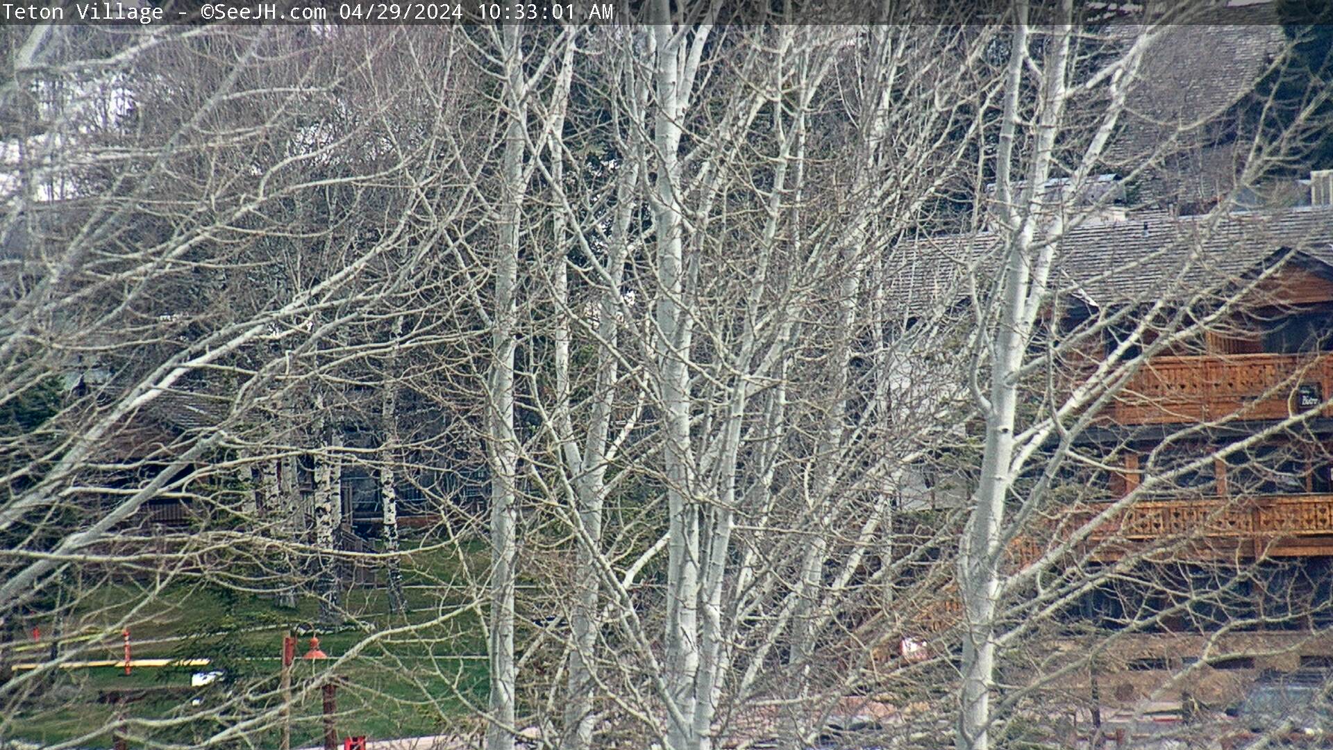
...Teton County...
4 WNW Teton Village 22.0 in 9628
3 NW Teton Village 21.0 in 9663
6 ENE Alta 20.0 in 9260
3 NW Teton Village 19.0 in 8220
23 ESE Moran Junction 18.0 in 9612
5 ENE Alta 18.0 in 8792
6 NNW Moose 18.0 in 9561
5 N South Entrance 16.0 in 7875
2 NW Wilson 15.0 in 8017
South Entrance 14.0 in 7004
22 E South Entrance 14.0 in 9332
16 E Moran Junction 13.0 in 9188
8 NNE Moran Junction 12.0 in 7671
10 N Bondurant 12.0 in 6912
5 W Wilson 11.5 in 8047
2 SSW Teton Village 11.3 in 6217
2 NNE Teton Village 9.8 in 6338
2 NW Teton Village 9.0 in 6596
1 NNE Jackson 7.2 in 6226
1 S Jackson 7.0 in 7804
Jackson 5.7 in 6256
2 SSW Grant Village 4.0 in 7968
6 ESE Hoback Junction 3.0 in 6150
...Washakie County...
18 ENE Ten Sleep 14.0 in 9449
Observations are collected from a variety of sources with varying
equipment and exposures. We thank all volunteer weather observers
for their dedication. Not all data listed are considered official.
$$
|
|
 Top
Top
Summary | Travel Center | Monitoring & Reporting
|
|
|
|
|
|
|
|
 |
 |
 |
 |
|
|
|
|
|
 |
 |
 |
 |
|
|
|
|
|
 |
 |
 |
 |
If you plan to travel, we recommend checking road conditions along your route and staying on top of road closures here. If you are on Twitter, follow the hashtag: #WyoRoad (or look below) for the latest weather affecting roads and road conditions in and around Wyoming.
 |

Summary | Forecast | Travel Center | Monitoring & Reporting
PLEASE SEND US YOUR SNOW REPORTS (CLICK HERE)
 |
Monitor our Weather Summary Page for current Warnings, Watches, and Advisories. What's the difference? |
 |
Check the latest Weather Story graphic for an overview of the area forecast. |
 |
Check out what's on the radar. Riverton | Pocatello | Cheyenne | Billings | Salt Lake City | Rapid City | Mosaic |
| Submit storm reports/images and keep up to date with us on Facebook! | |
 |
Submit storm reports/images and keep up to date with us on Twitter! |
 |
Other reporting methods include submitting an online report, email (nws.riverton@noaa.gov), or by phone at 1-800-211-1448. |
 |
Check the latest Public Information Statement for the latest storm reports. |
| Monitor current road conditions by visiting the Wyoming Dept. of Transportation (WYDOT) or by calling 5-1-1. | |
| Get current road conditions, web camera images, road alerts, and much more on your mobile device by downloading the Wyoming 511 Mobile App. |
 |
Learn more about the National Weather Service's efforts to build a Weather-Ready Nation! |


