National Weather Service United States Department of Commerce

Areas of Severe Thunderstorms and Heat

Scattered severe thunderstorms and excessive rainfall are possible today in the Mid Atlantic, posing a risk for damaging winds and isolated flash flooding. Extreme Heat Warnings are in effect today for northeast Texas into southern Oklahoma and Arkansas. Extreme Heat Warnings are also in effect for the Desert Southwest today into Sunday. Read More >

Click a location below for detailed forecast.

Last Map Update: Thu, Aug 20, 2026 at 9:10:45 am CDT

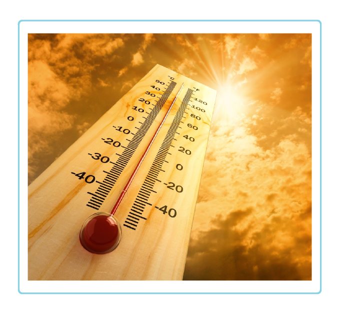
The heat continues across the Panhandles for Thursday with most locations looking to be in the mid to upper 90s. However in the Southeastern Texas Panhandles, temperatures are expected to heat even further with many locations looking to be over the triple-digit mark. This continued heat may increase the chances of heat related illnesses, so make sure to take preventive measures.
Hot temperatures are expected to continue for the Panhandles with widespread triple-digit temperatures holding through the weekend. Chances of storms do remain possible each afternoon, but those chances are mostly confined to the Northern Panhandles at around 10 to 20%.
Parked vehicles in hot conditions can increase temperatures inside the vehicle rapidly. Always make sure any passengers in the car are accounted for, and never left in a locked or unattended vehicle!
This week, high temperatures are expected to remain 100+°F across much of the combined Panhandles. Make sure you stay aware during prolonged periods of heat on how to stay safe during outdoor activities!

Text Product Selector (Selected product opens in current window)


Current Observations ( )
Location Sky/Weather Temp (°F) Dewpt (°F) RH (%) Wind (mph) Pressure (inHg) Remarks
 Amarillo
N/A
N/A
N/A
N/A
N/A
N/A
N/A
 Borger
N/A
N/A
N/A
N/A
N/A
N/A
N/A
 Canadian
N/A
N/A
N/A
N/A
N/A
N/A
N/A
 Dalhart
N/A
N/A
N/A
N/A
N/A
N/A
N/A
 Dumas
N/A
N/A
N/A
N/A
N/A
N/A
N/A
 Guymon
N/A
N/A
N/A
N/A
N/A
N/A
N/A
 Hereford
N/A
N/A
N/A
N/A
N/A
N/A
N/A
 Pampa
N/A
N/A
N/A
N/A
N/A
N/A
N/A
 Perryton
N/A
N/A
N/A
N/A
N/A
N/A
N/A
 Amarillo 9NNE
N/A
N/A
N/A
N/A
N/A
N/A
N/A
 Amarillo 7SSE
N/A
N/A
N/A
N/A
N/A
N/A
N/A
 Bootleg 11WNW
N/A
N/A
N/A
N/A
N/A
N/A
N/A
 Canadian 6E
N/A
N/A
N/A
N/A
N/A
N/A
N/A
 Clarendon 2WSW
N/A
N/A
N/A
N/A
N/A
N/A
N/A
 Claude 12SW
N/A
N/A
N/A
N/A
N/A
N/A
N/A
 Hereford 2NW
N/A
N/A
N/A
N/A
N/A
N/A
N/A
 McLean 1E
N/A
N/A
N/A
N/A
N/A
N/A
N/A
 Palo Duro SP
N/A
N/A
N/A
N/A
N/A
N/A
N/A
 Pampa 2E
N/A
N/A
N/A
N/A
N/A
N/A
N/A
 Umbarger 3NNE
N/A
N/A
N/A
N/A
N/A
N/A
N/A
Note: "N/A" or "MISG" will be displayed if values are not available. In the LOCATION column, click on links for a list of recent observations at sites of interest. In the WIND column, VRB is "variable" and G is "gust". In the REMARKS column, HX is "heat index", WCI is "wind chill index", and VSB is "visibility" (if shown).


Aviation Drought Fire Weather Hydrology Severe Weather Winter Weather
 
Climate Graphs Hourly Forecast Long Range Local Model Data Precip Maps Heat
 
Education Local Research News Skywarn Weather Calculator Weather Radio